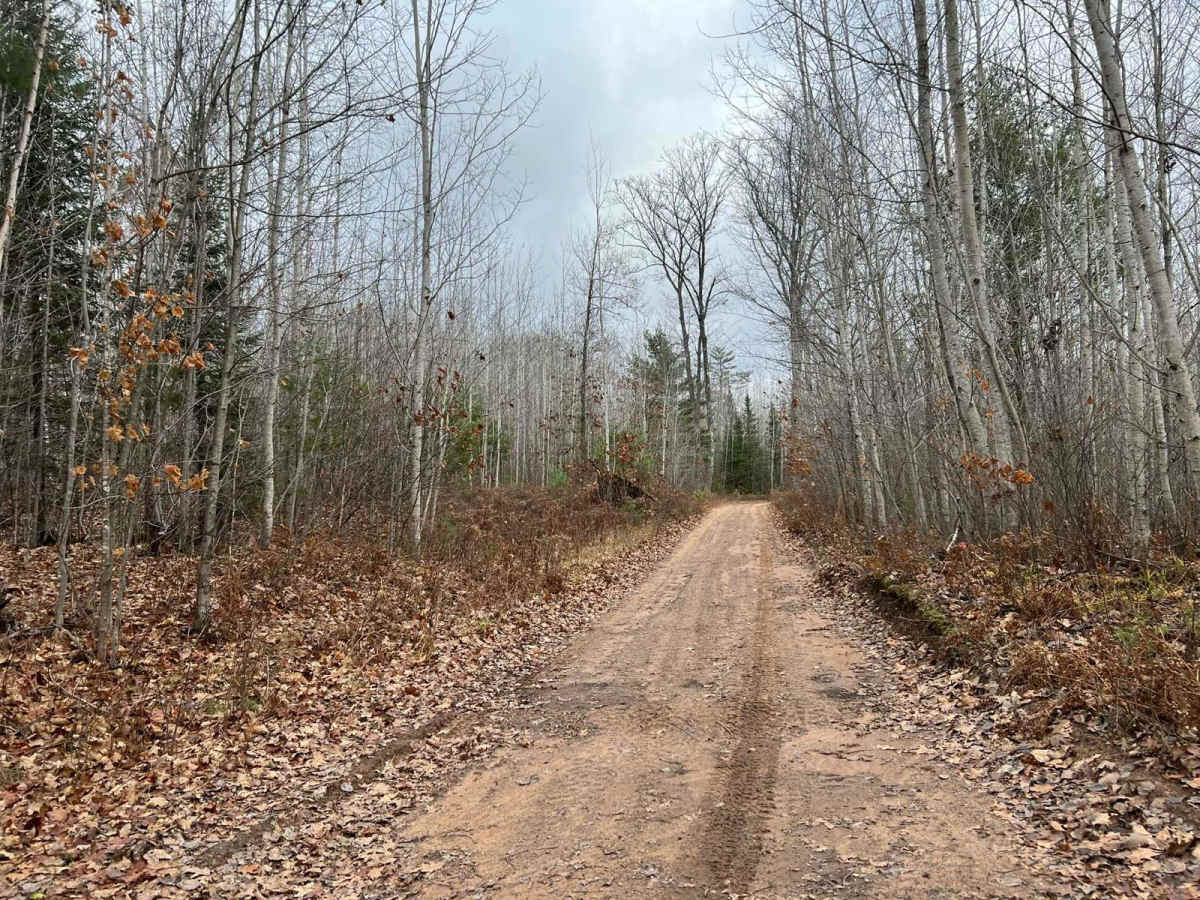
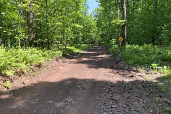
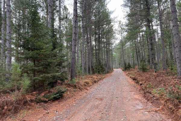
Trail Overview
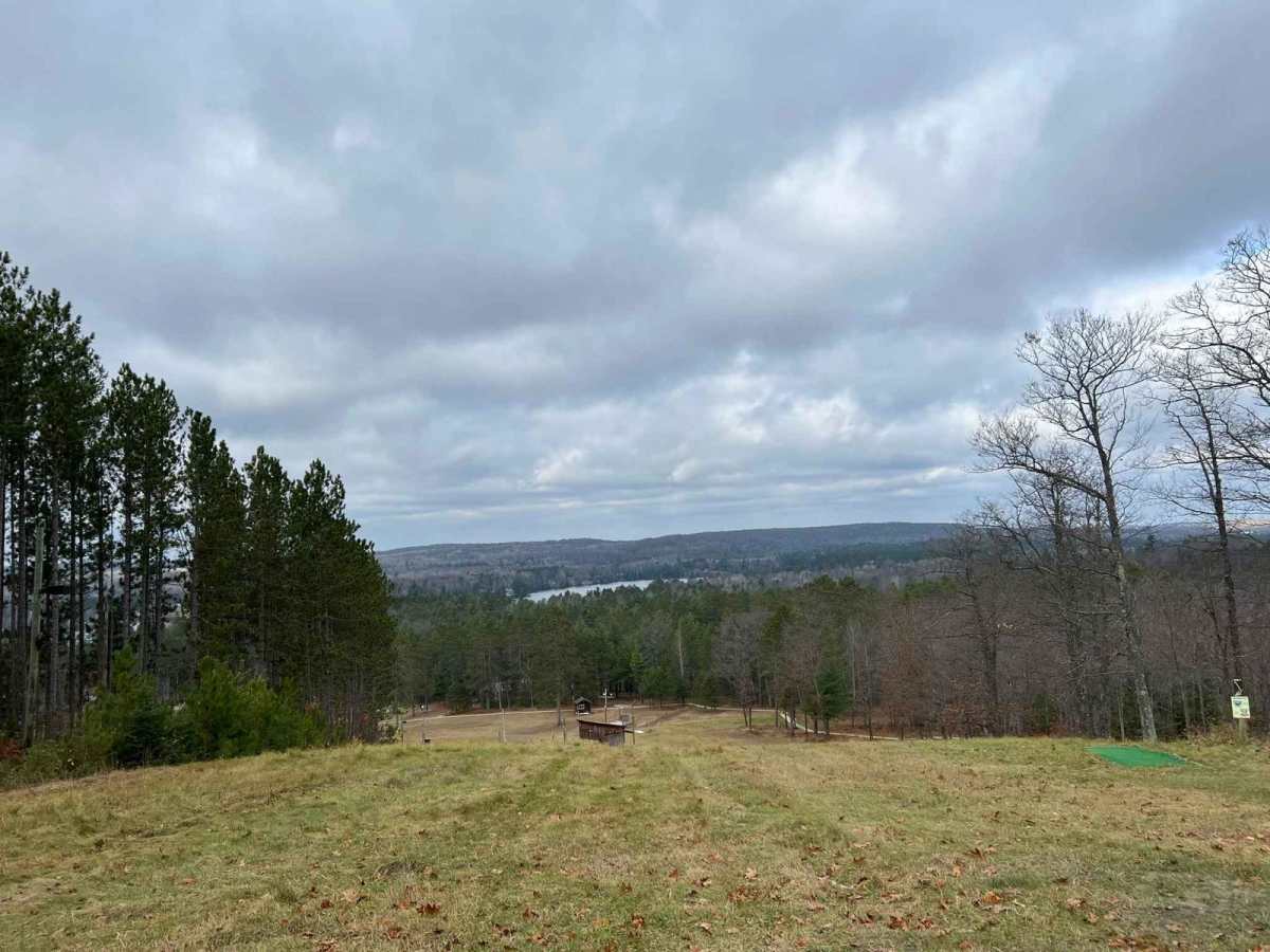
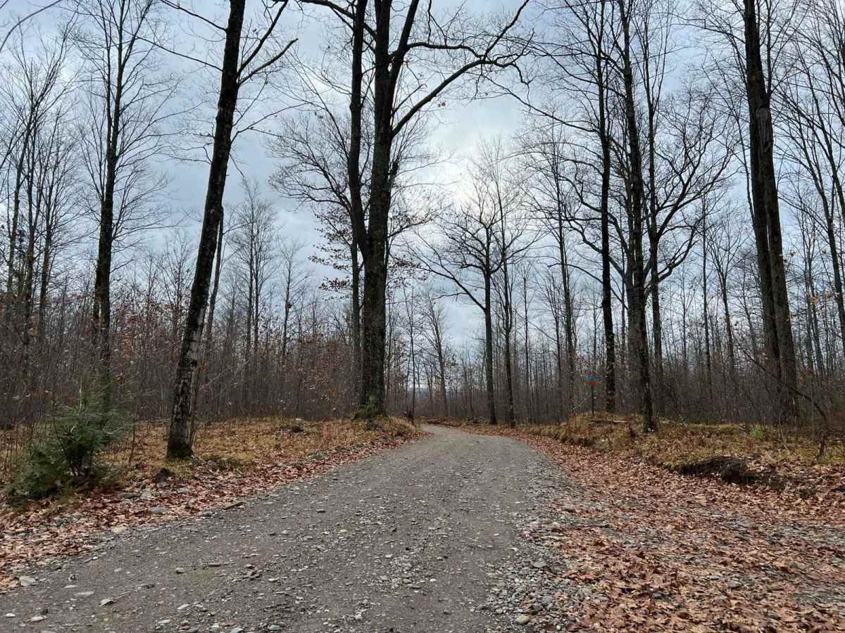
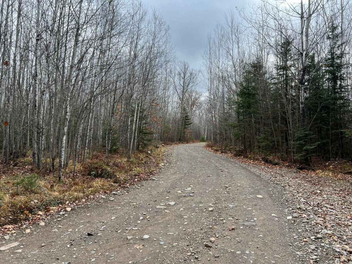
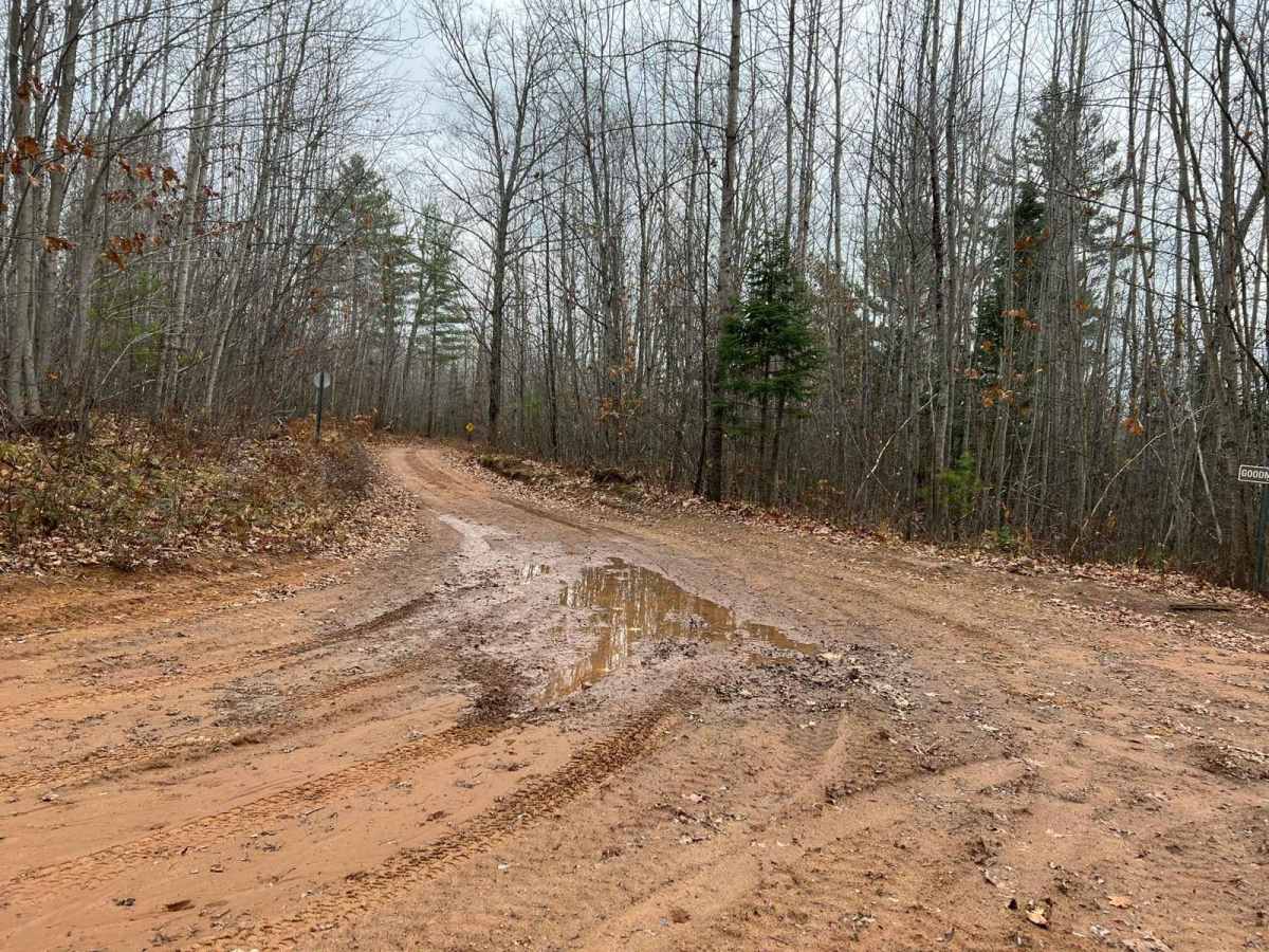
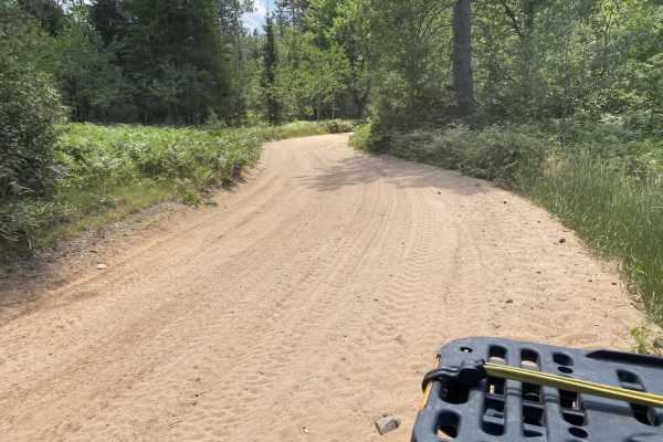
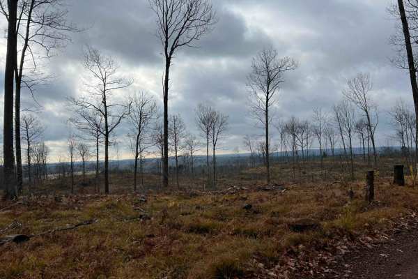
This trail is a part of the Florence County F6 Trail. It is a newer trail not currently on the official ATV/SXS trail map as of 11/24. It is a small horseshoe that runs from intersection 18 to 19. This trail is very scenic, offering a lookout spot located 1/4Mi south of the intersection 18 trailhead. This overlook provides some excellent views of Keys Lake and the surrounding landscape. The trail surface is primarily light gravel before transitioning back into sand when headed toward the intersection 19 trailhead. Like many in the area, this trail is one and a half vehicle widths wide, with a few places wider for small amounts of time for easier passing. Portions of this trail are also open to road-going vehicle traffic.
Difficulty
This trail can be ridden by riders of all skill levels. There are almost no trail obstacles that need to be worried about, save for short periods of time after heavy rain where there may be several shallow water spots that need to be crossed. The trail has okay to good sight lines throughout, and traction is not an issue with most of this trail being a hard-pack clay gravel mix. Trail width averages one and a half vehicles wide with a few areas that open up to two vehicle widths wide for easier passing.