Trail Overview
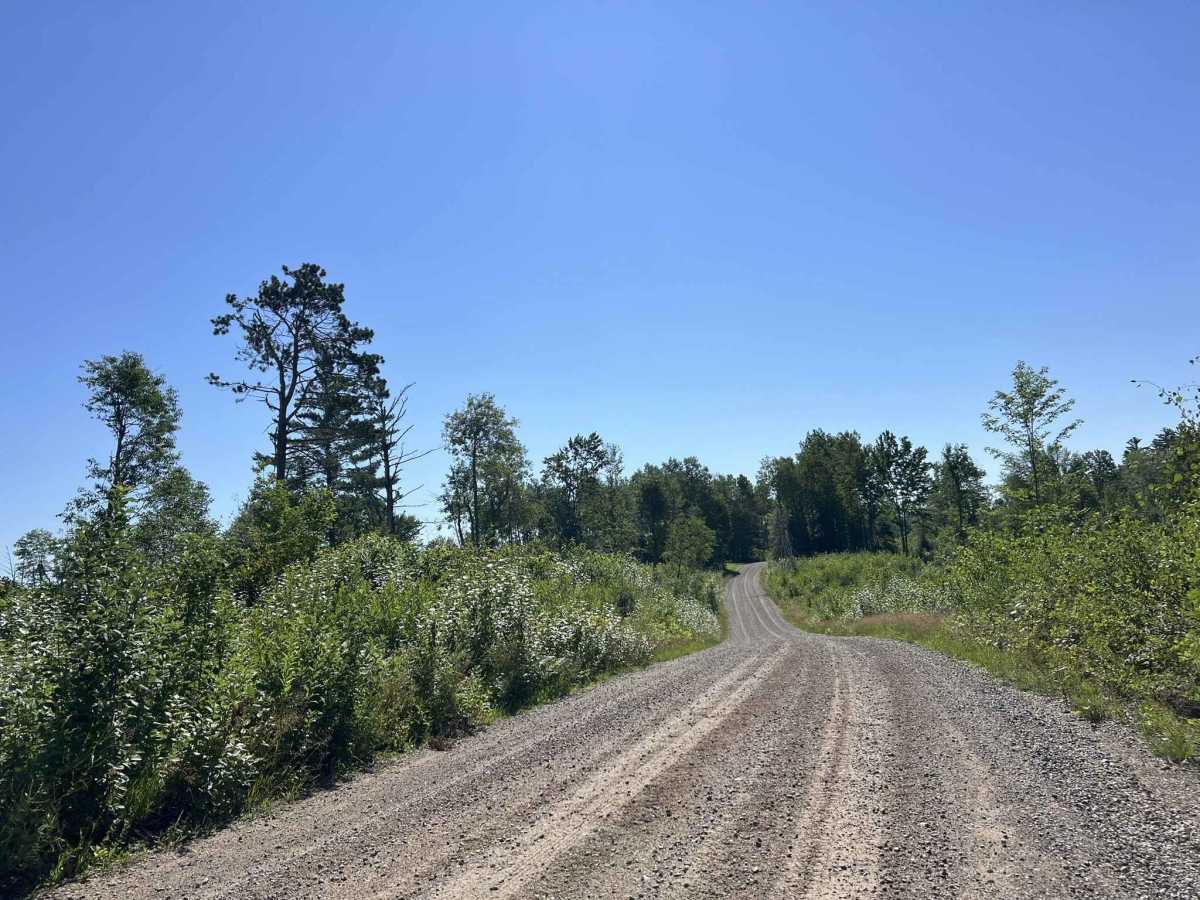
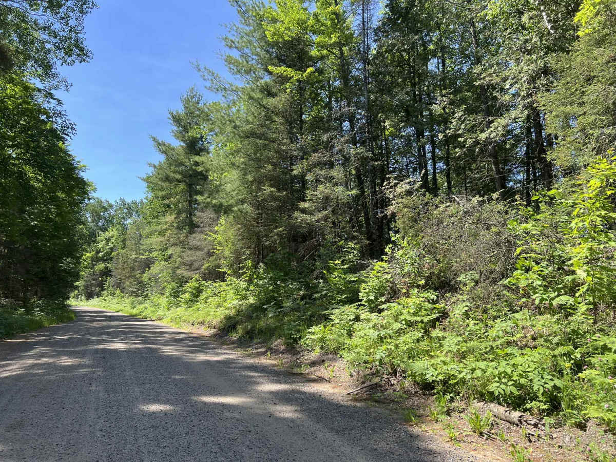
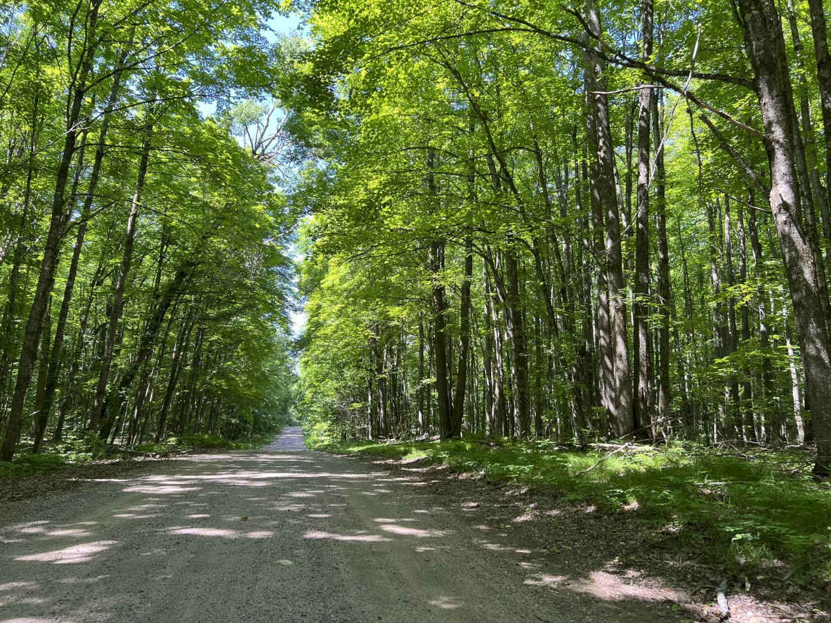
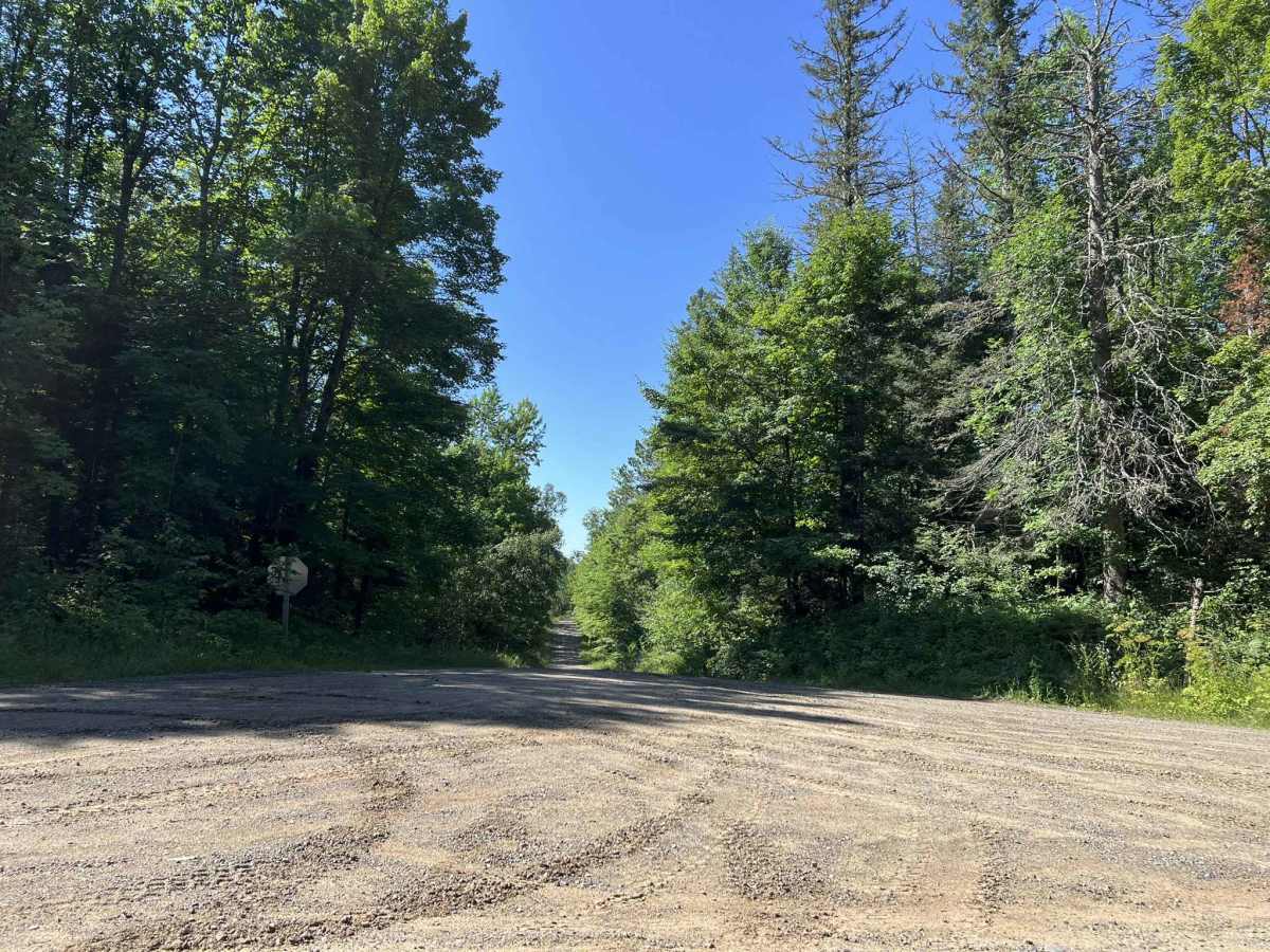
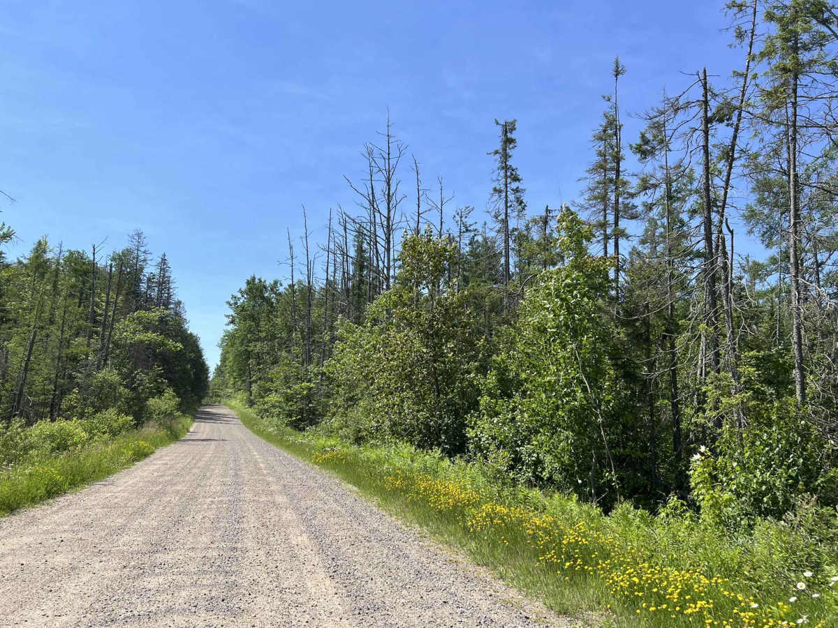
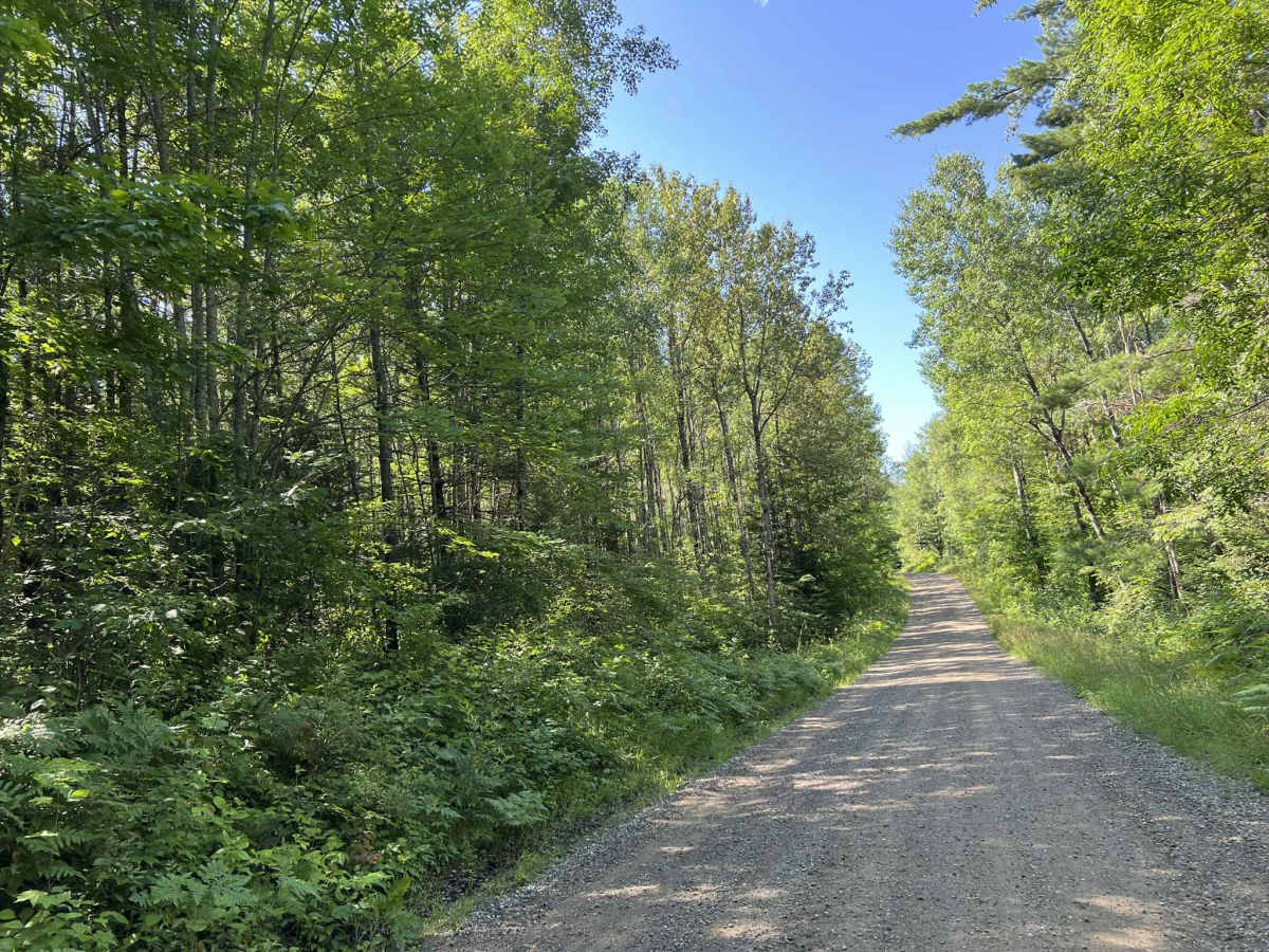
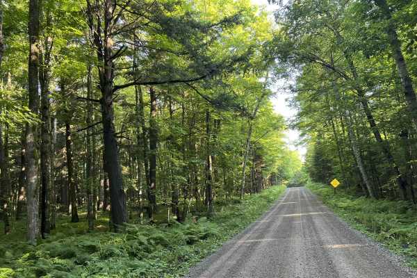
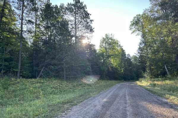
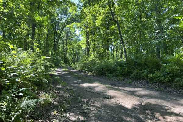
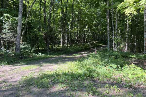
FS 2398 navigates from its northern intersection with FS 2161 to its southern intersection with FS 2162. This trail is open to all vehicle types and is moderately maintained, meaning the gravel surface is typically graded at least once a year. This trail travels through a large variety of scenery types, from lowland marshes to rolling hills surrounded by dense forest, and even a few sections that have been clear-cut. Elevation changes throughout this trail are mild rolling hills, accompanied by some larger hills which can occasionally be seen in the distance. This trail also has an access point for the Popple River; this would be large enough to put a kayak in or a small canoe. This trail is wide enough for two vehicles for most of its length, and thanks to the gentle corners, there are only a few sections of the trail that are blind to oncoming traffic. There are minimal low spots in this trail to collect water, so the trail remains dry under most conditions. Cell service in this area is marginal and can be very spotty. Traveling with downloaded maps should be considered to get the most out of the area.
Difficulty
This trail can be easily navigated by all. The trail is wide enough for two vehicles in most areas, but will require vehicles to slow down in order to safely pass. The gravel surface can develop washboards after extended periods of use without maintenance. In addition, it can also be very dusty after periods without rain. Like any forest road, there is always the possibility of downed trees and other debris being located in the trail after a storm.

 Offroad