
Beginner Off-Road Trails
Near Bluffdale, Utah
Explore All Beginner Trails Near Bluffdale, Utah
Beginner Off-Road Trails Near Bluffdale, Utah
Discover the best beginner-friendly off-road trails near you. These easier, lower-rated trails are a great place to start — browse trail maps, check difficulty ratings, and find your next adventure.
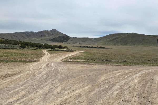
Hidden Hollow Loop
This is a fun family loop behind Hidden Hollow Elementary in Eagle Mountain. This is a multi-use area, so there are a lot of mountain bikers. This loop takes you to two lookouts. The first one overlooks Utah Lake and the Saratoga Springs Temple, the second overlook is at the Prayer Flags, and this o...
Learn more about Hidden Hollow Loop
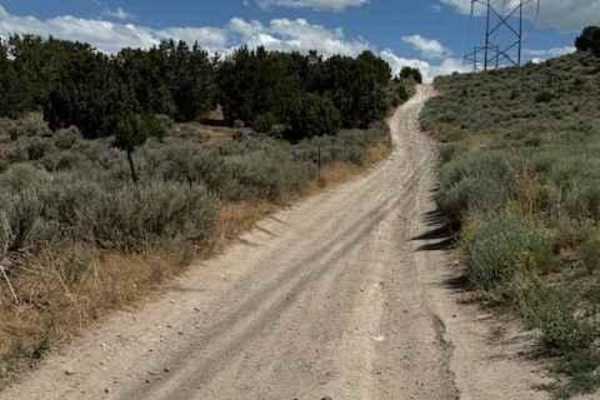
Lake Mountain East
This trail is the gateway to tons of adventure. There are tons of spots off this trail to do some shooting, hiking, mountain biking, relax next to a fire pit, or soak in the beautiful view of Utah Lake with the picturesque mountains in the background. The trail itself is pretty mellow, but is consta...
Learn more about Lake Mountain East
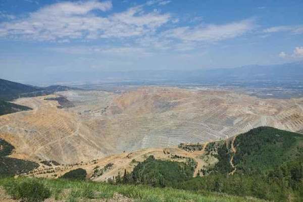
Kennecott Copper Mine Overlook
This trail is a quick 5-mile total out-and-back. It is well-maintained dirt leading to a large parking area that overlooks the main pit of the mine. One can also see the Salt Lake Valley to the east and Tooele Valley to the west and the views of the mountains, valleys, and mine are incredible. The r...
Learn more about Kennecott Copper Mine Overlook
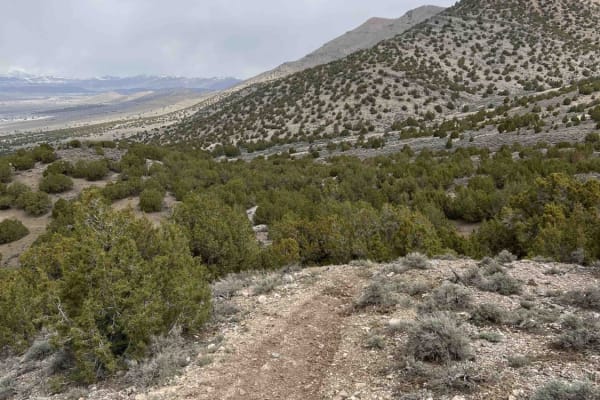
Eagle Connector
Eagle Connector joins the Front 9 trail to the Back 9 and Eagle's Nest trails. From Front 9, it descends about 200 feet down along a ridgeline until intersecting with the exit of Eagle's Nest trail. Surface conditions are mostly dirt with some larger embedded rocks and small/loose, golf ball-sized r...
Learn more about Eagle Connector
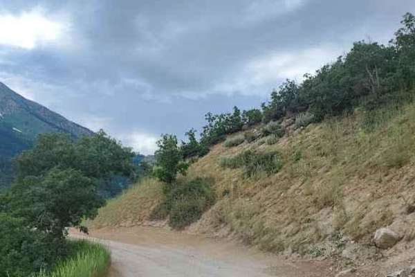
Silver Lake Road
This 9-mile out-and-back dirt road from Tibble Fork Reservoir to Silver Lake is beautiful and boasts mountain views. Make sure to bring your paddleboards and/or kayaks to use at either lake. The road is well maintained and driven by cars and vans but is narrow in a few places-not quite wide enough f...
Learn more about Silver Lake Road
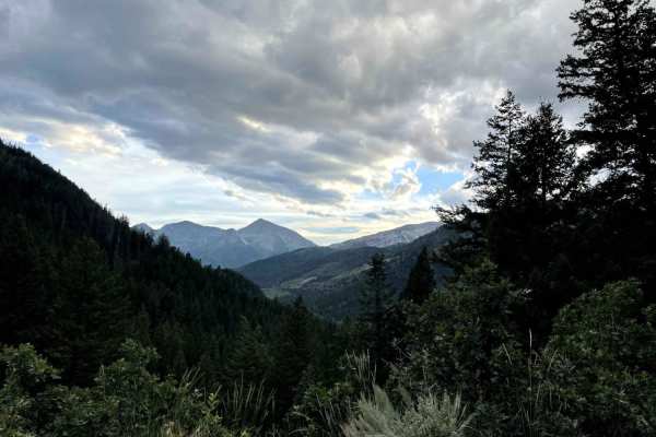
American Fork Snake Creek
This trail is a low risk, high pay out trail with lots of jaw dropping views. The trail could honestly be done in a 2WD sedan if you don't explore any of the side trails. There are lots of picnicking and dispersed camping sites along the way. The trail runs from Tibble Fork reservoir in American ...
Learn more about American Fork Snake Creek
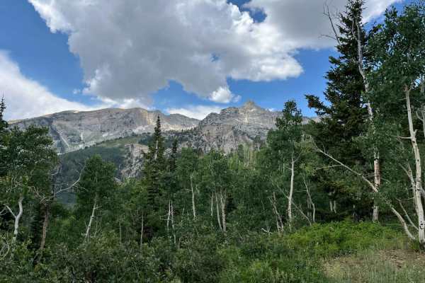
Major Evans
This is a narrow track through pleasant trees. The track switches up the mountainside and provides good views of the surrounding peaks. Since it ends at a locked gate, it needs an hour up, and an hour down. Passing can be difficult due to the track width. There are some pleasant meadows at the turno...
Learn more about Major Evans
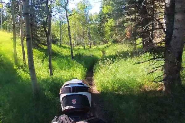
Tibble Fork (2041)
From Mill Canyon, this trail runs west and then southeast, climbing about 1,400 feet where it intersects with Ridge Trail. The lower portion running west takes you on a ledge trail through the woods above Tibble Fork Reservoir. From here, it continues climbing, intersects Mud Springs, and finally re...
Learn more about Tibble Fork (2041)
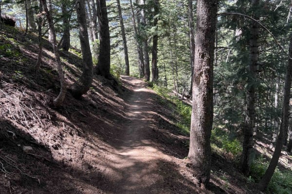
Salamander Flat (2150)
Salamander Flat is a single-track that runs south from Pine Hollow and ends at the Timpanooke parking lot. Riding away from Pine Hollow, it's a gradual descent to the parking lot. This trail is very smooth, without many obstacles, but can be narrow in sections. One of these is a traverse across a wo...
Learn more about Salamander Flat (2150)
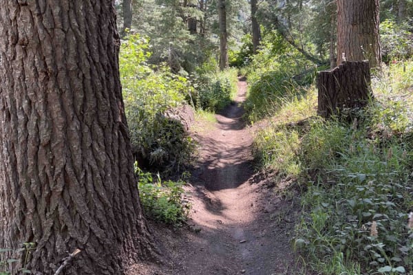
South Fork Little Deer Creek (2252)
This track connects Ridge Trail to Lame Horse near the Alpine Loop Summit Parking Lot. Starting from Ridge, this wooded trail has great flow when traveling downhill. There are a few root sections mixed in, but you don't notice them traveling downhill away from Ridge trail. There are 2 road crossings...
Learn more about South Fork Little Deer Creek (2252)
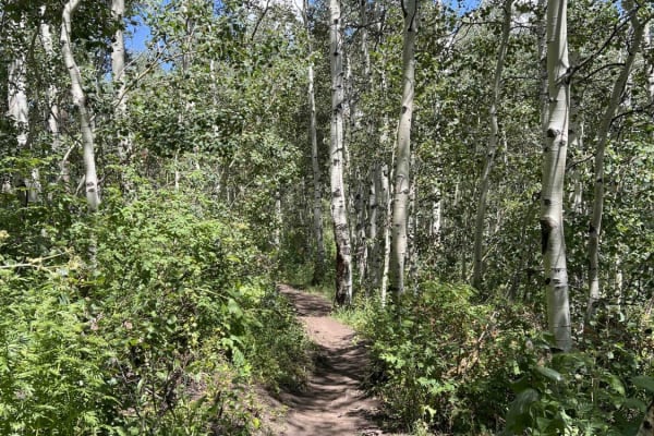
Lame Horse (2055)
Lame Horse runs from the Alpine Loop Summit parking lot to the base of Mount Timpanogos hiking trails. It's a dead end with views of the mountain, but nowhere to go but back towards the parking lot. The single-track trail cuts through an aspen forest and is generally flat without any major obstacles...
Learn more about Lame Horse (2055)
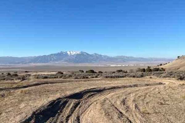
The Back 9 Turn Track
This is a turn track located off The Back 9 Trail. It has a bunch of wide-rutted turns with fast whoop sections in between. The dirt is pretty loose and somewhat sandy. Many of the turns have multiple ruts and can be ridden in either direction. The track is mostly flat without any real elevation gai...
Learn more about The Back 9 Turn Track
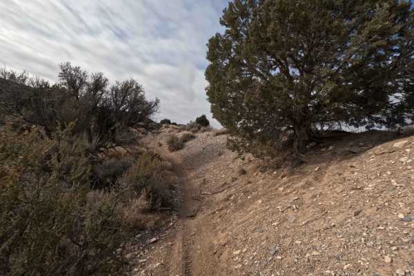
510
The 510 trail begins at the intersection of 506 and 509. It's 2.3 miles long and travels North before heading East and ending at a dirt access road off of Manning Canyon Road. The trail starts in a valley that quickly becomes a tighter ravine. The ground surface begins as dirt but changes to loose g...
Learn more about 510
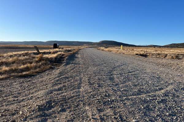
Soldier Pass Road
This is a main access road to Lake Mountains Recreation and connects up to Eagle Mountain. The southern entrance has parking areas for loading/unloading dirt bikes and other toys. There are extra branching trails throughout the whole way for more fun exploring, as well as locations for open camping ...
Learn more about Soldier Pass Road
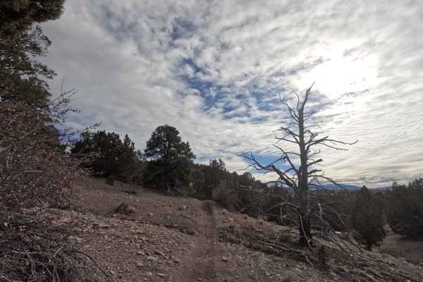
512
Trail 512 breaks off from the middle of 511 and heads West, before turning South and running into 509. This track is 1.4 miles in length and travels along small rolling hills in a spaced-out pine tree forest. You'll climb and then lose ~200 feet of elevation along this trail. The ground surface is p...
Learn more about 512
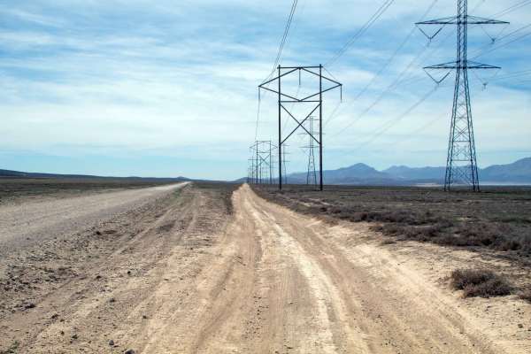
Lake Mountain Powerline Road
This trail is a smooth road with a few rocky spots that takes you from the West end of Soldier Pass all the way down to Greeley Hill Flats, located just North of Little Moab. This trail tends to be dry and dusty with some spots that may fill with water during periods of rainfall, but most of these s...
Learn more about Lake Mountain Powerline Road
Whoop Monster
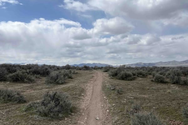
Whoop Monster is a shorter connector between the Back 9 and Sage Speedway. When run fully, the trail is U-shaped, starting and ending at the Back 9. Sage Speedway branches off at about the halfway point. The track is mostly open, allowing high speeds, but there are dozens of whoops throughout. These...
Learn more about Whoop Monster
Old Trench Road (2181)
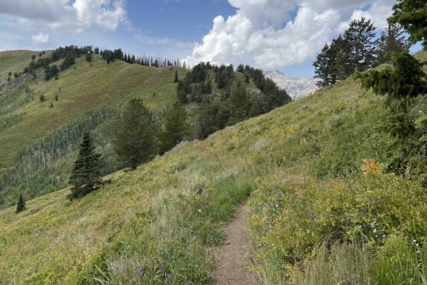
Old Trench Road connects Ridge Trail to Holman Trail. It essentially is a higher elevation bypass to part of Holman and runs west to east. The single-track trail is mostly smooth as it runs across the side of the mountain through short grass fields. There are some larger, softball-sized rocks scatte...
Learn more about Old Trench Road (2181)
508
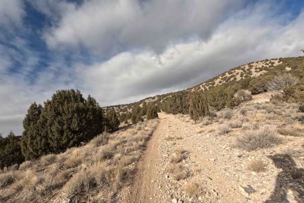
Trail 508 starts off Wells Canyon Road and runs North. This track parallels the first half of trail 511 before running into it. Total elevation gain is ~500 ft before reaching a peak in this area, and the total trail distance is 1.2 miles. The ground surface is dirt in some places but is otherwise l...
Learn more about 508
Sage Speedway
This trail travels through the sagebrush towards the base of the valley behind Soldier's Pass. It mixes fast and flowy sections with a decent amount of whoops. The surface type is mostly sandy-dirt with very few rocks throughout. This is a great route to get the blood pumping and test out your suspe...
Learn more about Sage Speedway
Beginner ATV trails near Bluffdale, Utah
Explore ATV-friendly trails near you. These trails are accessible for vehicles up to 50 inches wide, perfect for ATVs and smaller off-road machines.
Hidden Hollow Loop
This is a fun family loop behind Hidden Hollow Elementary in Eagle Mountain. This is a multi-use area, so there are a lot of mountain bikers. This loop takes you to two lookouts. The first one overlooks Utah Lake and the Saratoga Springs Temple, the second overlook is at the Prayer Flags, and this o...
Learn more about Hidden Hollow Loop
Lake Mountain East
This trail is the gateway to tons of adventure. There are tons of spots off this trail to do some shooting, hiking, mountain biking, relax next to a fire pit, or soak in the beautiful view of Utah Lake with the picturesque mountains in the background. The trail itself is pretty mellow, but is consta...
Learn more about Lake Mountain East
Kennecott Copper Mine Overlook
This trail is a quick 5-mile total out-and-back. It is well-maintained dirt leading to a large parking area that overlooks the main pit of the mine. One can also see the Salt Lake Valley to the east and Tooele Valley to the west and the views of the mountains, valleys, and mine are incredible. The r...
Learn more about Kennecott Copper Mine Overlook
Silver Lake Road
This 9-mile out-and-back dirt road from Tibble Fork Reservoir to Silver Lake is beautiful and boasts mountain views. Make sure to bring your paddleboards and/or kayaks to use at either lake. The road is well maintained and driven by cars and vans but is narrow in a few places-not quite wide enough f...
Learn more about Silver Lake Road
Beginner UTV/side-by-side trails near Bluffdale, Utah
Find UTV and side-by-side trails near you. These trails accommodate vehicles up to 60 inches wide, ideal for UTVs, side-by-sides, and wider off-road rigs.
Hidden Hollow Loop
This is a fun family loop behind Hidden Hollow Elementary in Eagle Mountain. This is a multi-use area, so there are a lot of mountain bikers. This loop takes you to two lookouts. The first one overlooks Utah Lake and the Saratoga Springs Temple, the second overlook is at the Prayer Flags, and this o...
Learn more about Hidden Hollow Loop
Lake Mountain East
This trail is the gateway to tons of adventure. There are tons of spots off this trail to do some shooting, hiking, mountain biking, relax next to a fire pit, or soak in the beautiful view of Utah Lake with the picturesque mountains in the background. The trail itself is pretty mellow, but is consta...
Learn more about Lake Mountain East
Kennecott Copper Mine Overlook
This trail is a quick 5-mile total out-and-back. It is well-maintained dirt leading to a large parking area that overlooks the main pit of the mine. One can also see the Salt Lake Valley to the east and Tooele Valley to the west and the views of the mountains, valleys, and mine are incredible. The r...
Learn more about Kennecott Copper Mine Overlook
Silver Lake Road
This 9-mile out-and-back dirt road from Tibble Fork Reservoir to Silver Lake is beautiful and boasts mountain views. Make sure to bring your paddleboards and/or kayaks to use at either lake. The road is well maintained and driven by cars and vans but is narrow in a few places-not quite wide enough f...
Learn more about Silver Lake Road
The onX Offroad Difference
onX Offroad combines trail photos, descriptions, difficulty ratings, width restrictions, seasonality, and more in a user-friendly interface. Available on all devices, with offline access and full compatibility with CarPlay and Android Auto. Discover what you're missing today!
Open Trail Map