OFF-ROADING
Private Land Boundaries + Ownership Information
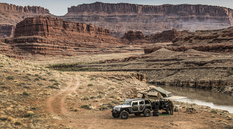
Know where you can off-road and see more on your map when you go Elite–with private land boundaries and ownership data for the whole country. Try onX Offroad free for 7 days.
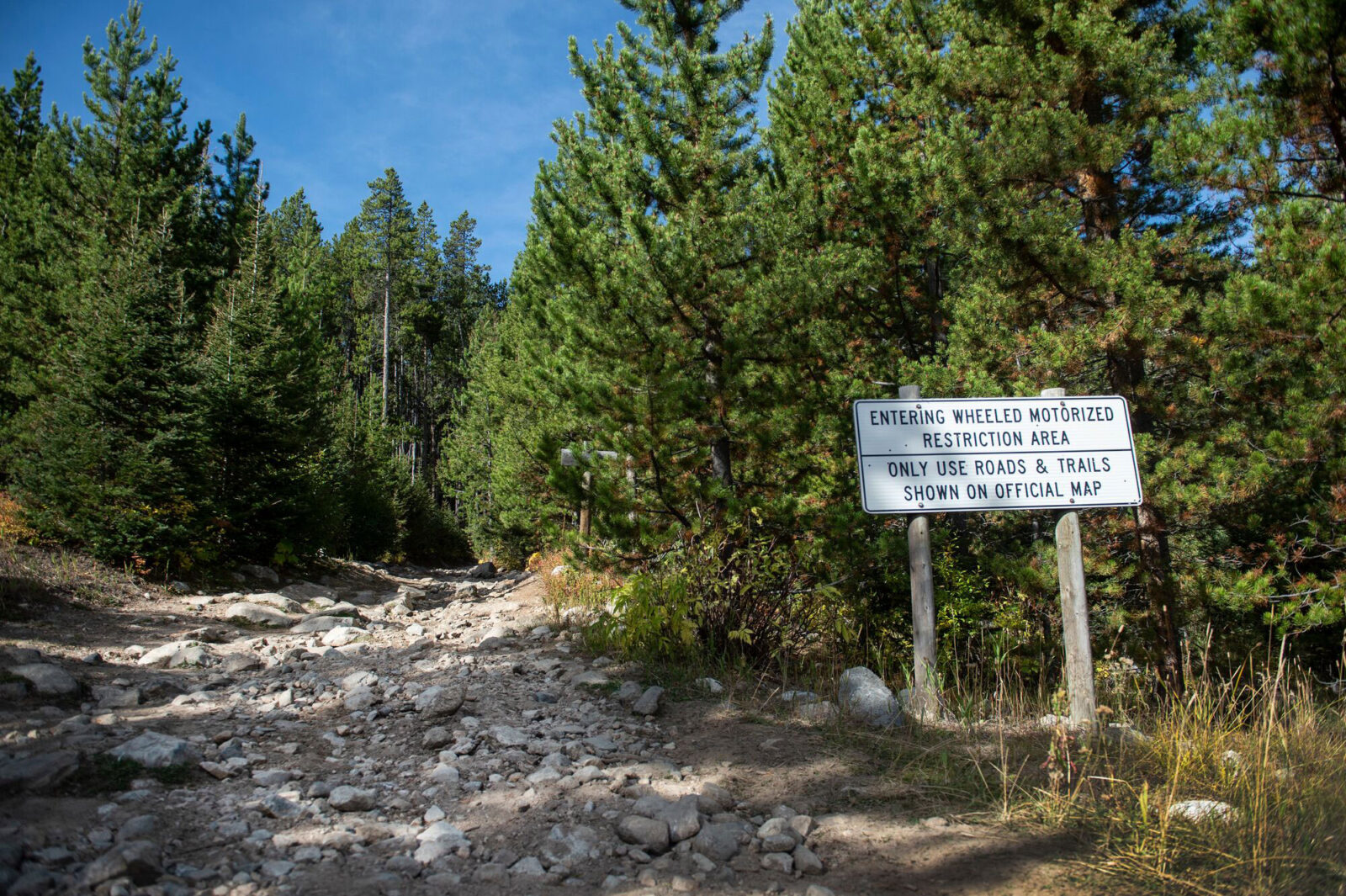
Find Where To Legally Off-Road
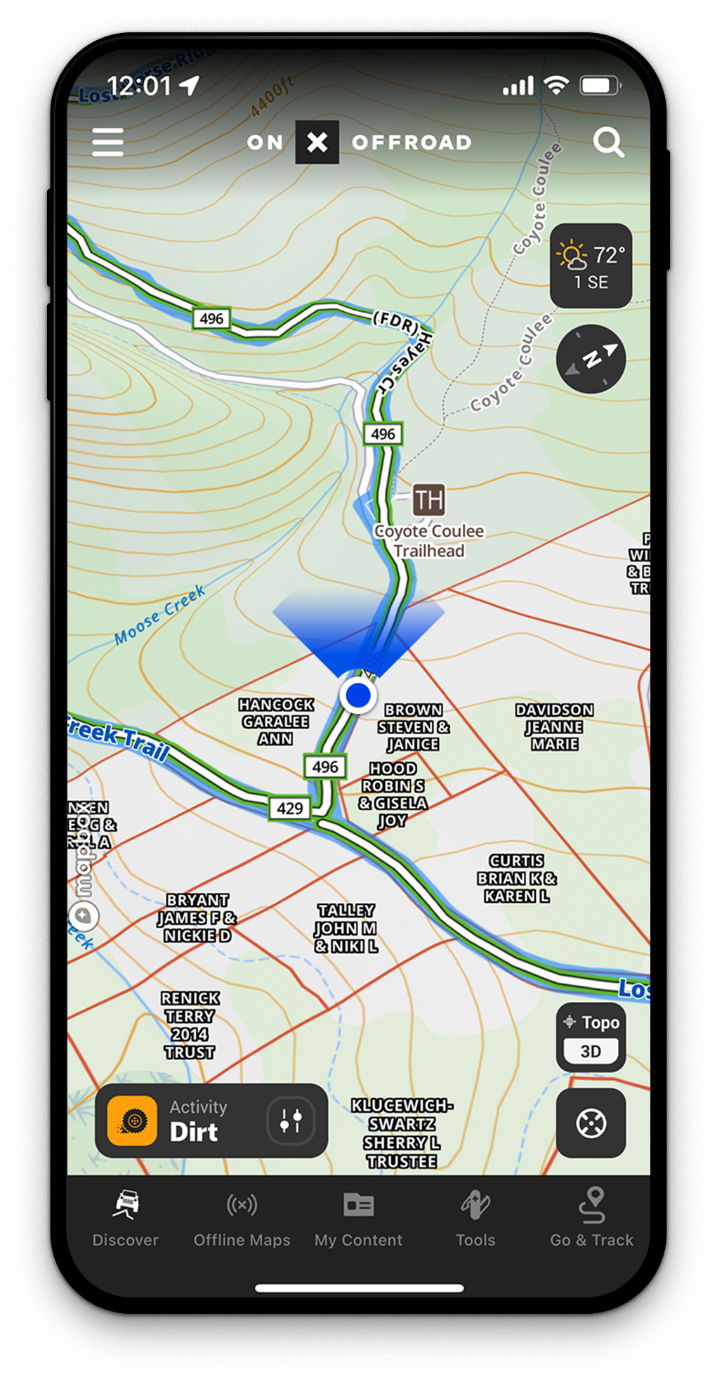
See private property lines + landowner names right in the App and discover even more places to off-road— exclusively with onX Offroad Elite. Tap any property for ownership info and acreage, so you can see if you can access an OHV park or find a trail easement.
Learn From An Expert:
Private Land with Nate
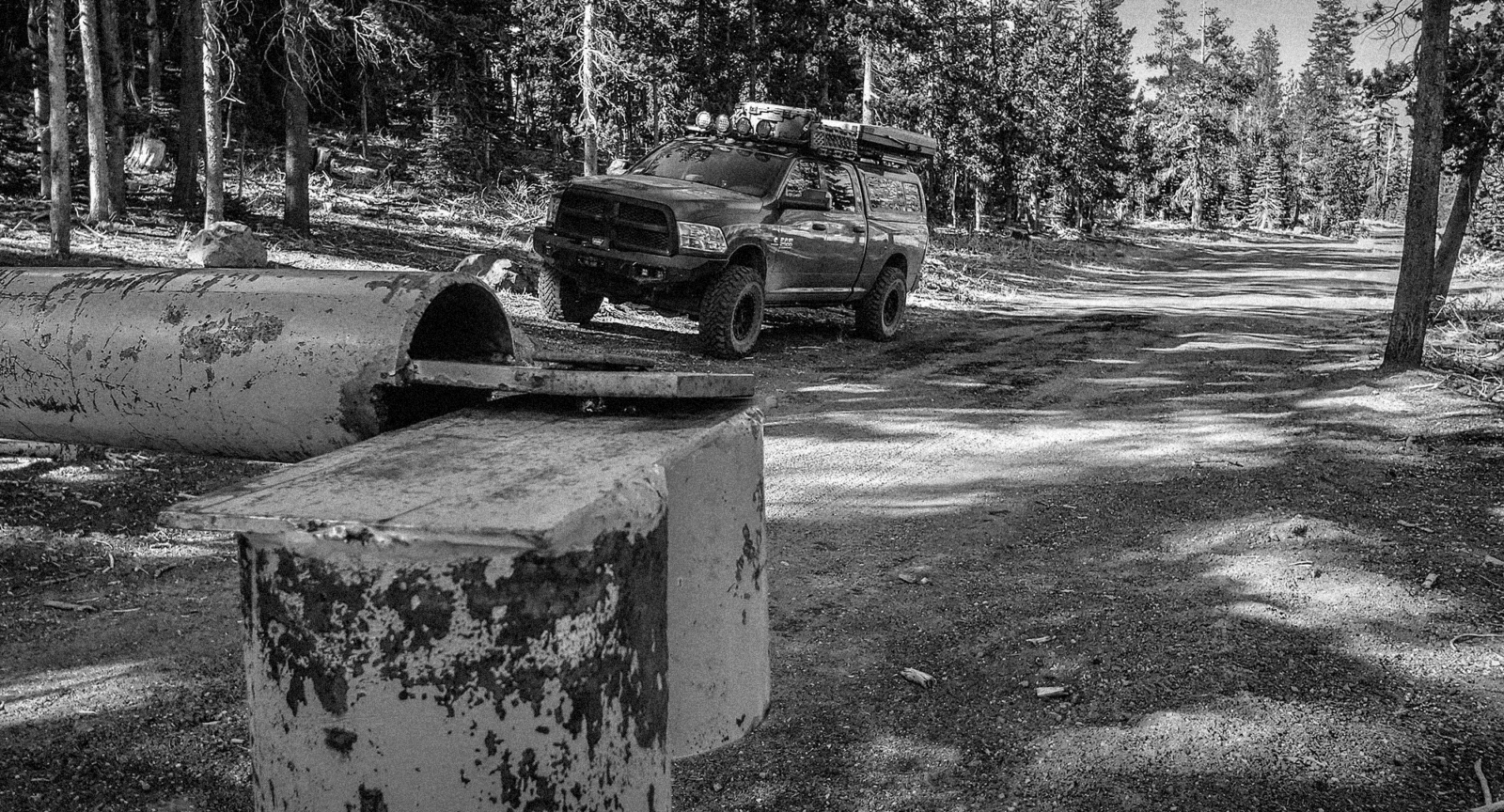
Before heading out on a new off-road adventure, it’s important to know where you are going, who owns the land, and whether you need a permit. Nate Pickel from Dirt Lifestyle walks you through how to use onX Offroad to differentiate land types and shares a few tips to make sure you’re prepared wherever you go!
Private Land: The Nuts and Bolts
Private land boundaries and ownership data ensures you know where you can off-road and dispersed camp. Go Farther with Elite.

Knowledge at your Fingertips
Private landowner information is available to the public, but under normal circumstances can be very difficult to find. With onX Offroad Elite, you’ll have nationwide access right in the App.

Tap to Learn More
Tap any land parcel to pull up detailed ownership information, acreage, and nearby trails.

Find More Access
With Elite, it’s easy to know where you can go, find trail easements, and open riding areas–so you can quickly locate off-road access.

Know Where You Can Go
Try it for free for 7 days and experience what it’s like to Go Farther with onX Offroad Elite’s Private Land Data.
App Reviews
Onx vs Gaia
“Onx has really stepped it up in the last couple of years, now I only use Gaia for really specific uses when I’m out and about. I use onx for overland with an FJ Cruiser and an ADV moto.”
“Onx has really stepped it up in the last couple of years, now I only use Gaia for really specific uses when I’m out and about. I use onx for overland with an FJ Cruiser and an ADV moto.”
3 month review
“Planning a overland trip across the UP of Michigan. All the logistics to the trip I have found I can find and plan on OnX. Great app and have been using OnX hunting app for years. Solid platform easy to use and very rea…
Read more
“Planning a overland trip across the UP of Michigan. All the logistics to the trip I have found I can find and plan on OnX. Great app and have been using OnX hunting app for years. Solid platform easy to use and very reasonably priced. Thanks to OnX off-road.”
This app saved our bacon
“We went looking for a particular trail in Southern California, and could not find the trailhead so downloaded this app. We proceeded to drive at least four hours in. Then the real problem came. No cell service and tra…
Read more
“We went looking for a particular trail in Southern California, and could not find the trailhead so downloaded this app. We proceeded to drive at least four hours in. Then the real problem came. No cell service and trails going every which way. No idea how to get back and no one around. Getting dark and cold. Another rig rolled down the cliff, laying on its side. Nobody in it. Scared the —- out of us. This app put a blue line on the map, just like we were navigating to Starbucks in town! Rookie mistake by a self proclaimed rookie, but I would highly recommend that you download this before you go exploring. Our bodies would probably still be out there being eaten by birds if I didn’t have it! 🙂 I don’t know if there are other similar options, but this one works great for me, so I’m. keeping it!”
Frequently Asked Questions
What is onX Offroad Elite’s Private Land feature?
onX Offroad Elite lets you see private property lines and landowner names directly in the app. You can tap any land parcel to view ownership information, acreage, and nearby trails.
How accurate is onX’s private land data?
Private property boundaries are generally accurate to within 5 to 10 feet, though this varies by county and data source. onX works closely with data sources to correct errors whenever they are discovered.
How often is the private land data updated?
Data is typically updated every one to two years, depending on the availability of information from individual counties. Each county formats and updates its records on its own schedule.
Can I use onX Offroad without cell service?
Yes, onX Offroad includes an Offline Maps feature that lets you save maps for use outside the cell network. Your device’s built-in GPS will still display your location and allow normal navigation.
How can I find legal off-road access using onX Offroad?
With an Elite membership, you can identify trail easements, open riding areas, and OHV parks by viewing private land boundaries and ownership data on the map. This helps you quickly locate where you are legally permitted to ride.
Do I need a permit to access private land for off-roading?
Before heading out, it is important to know who owns the land and whether a permit is required. onX Offroad Elite provides the ownership information you need to make that determination before your ride.
Is there a free trial available for onX Offroad Elite?
Yes, you can try onX Offroad Elite free for 7 days to experience the private land data and other Elite features.