Grizz Country Elk
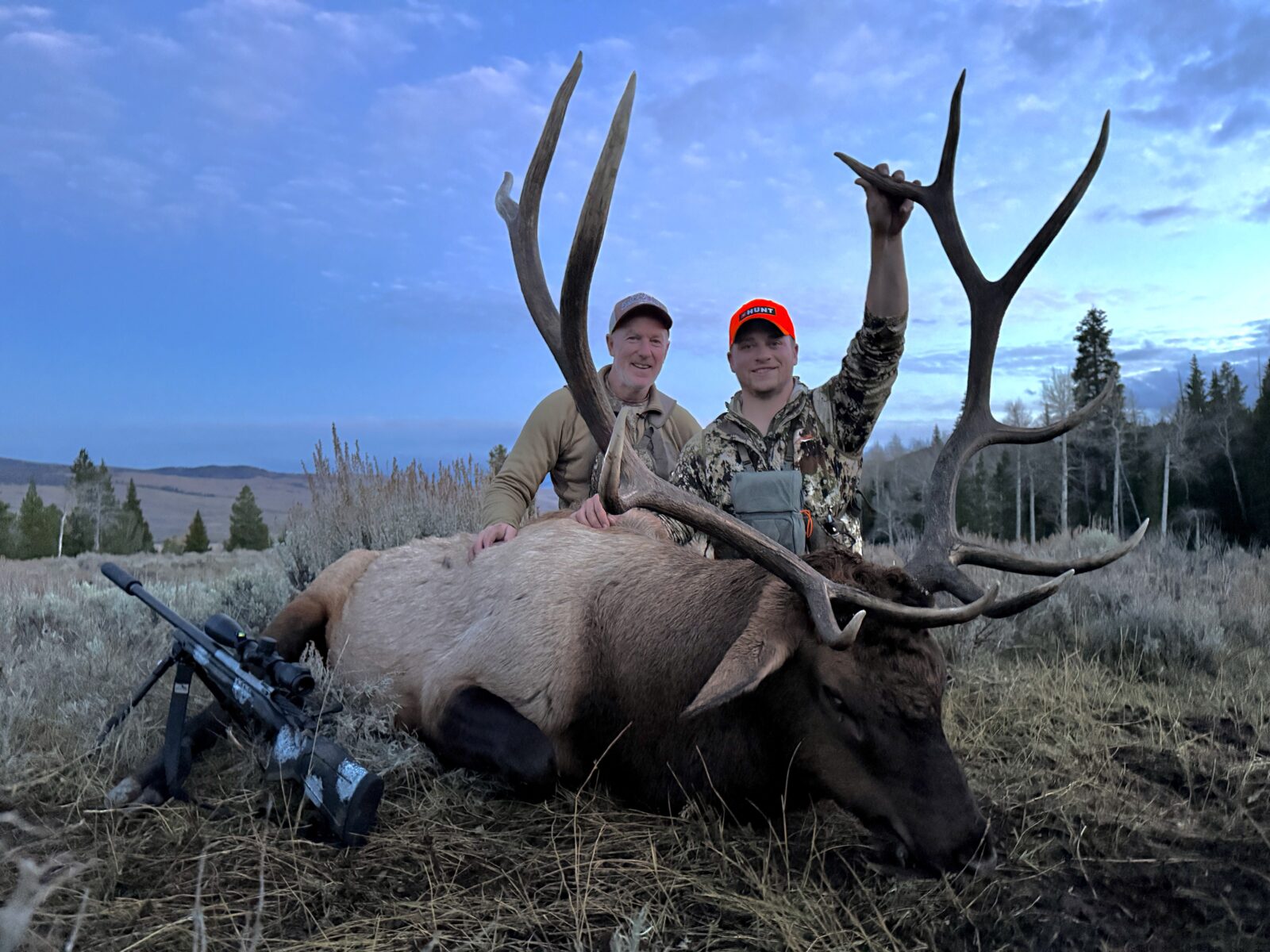
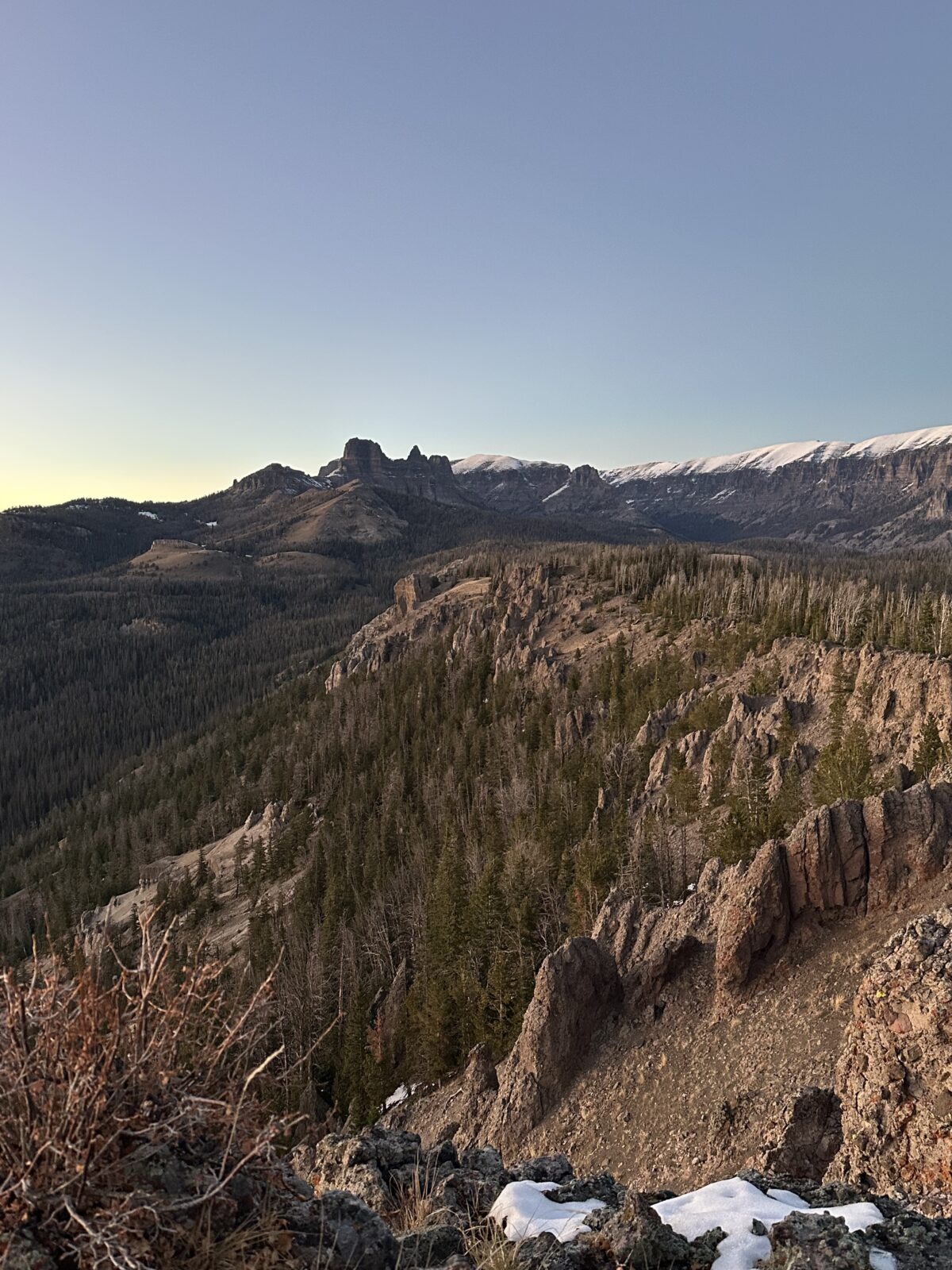
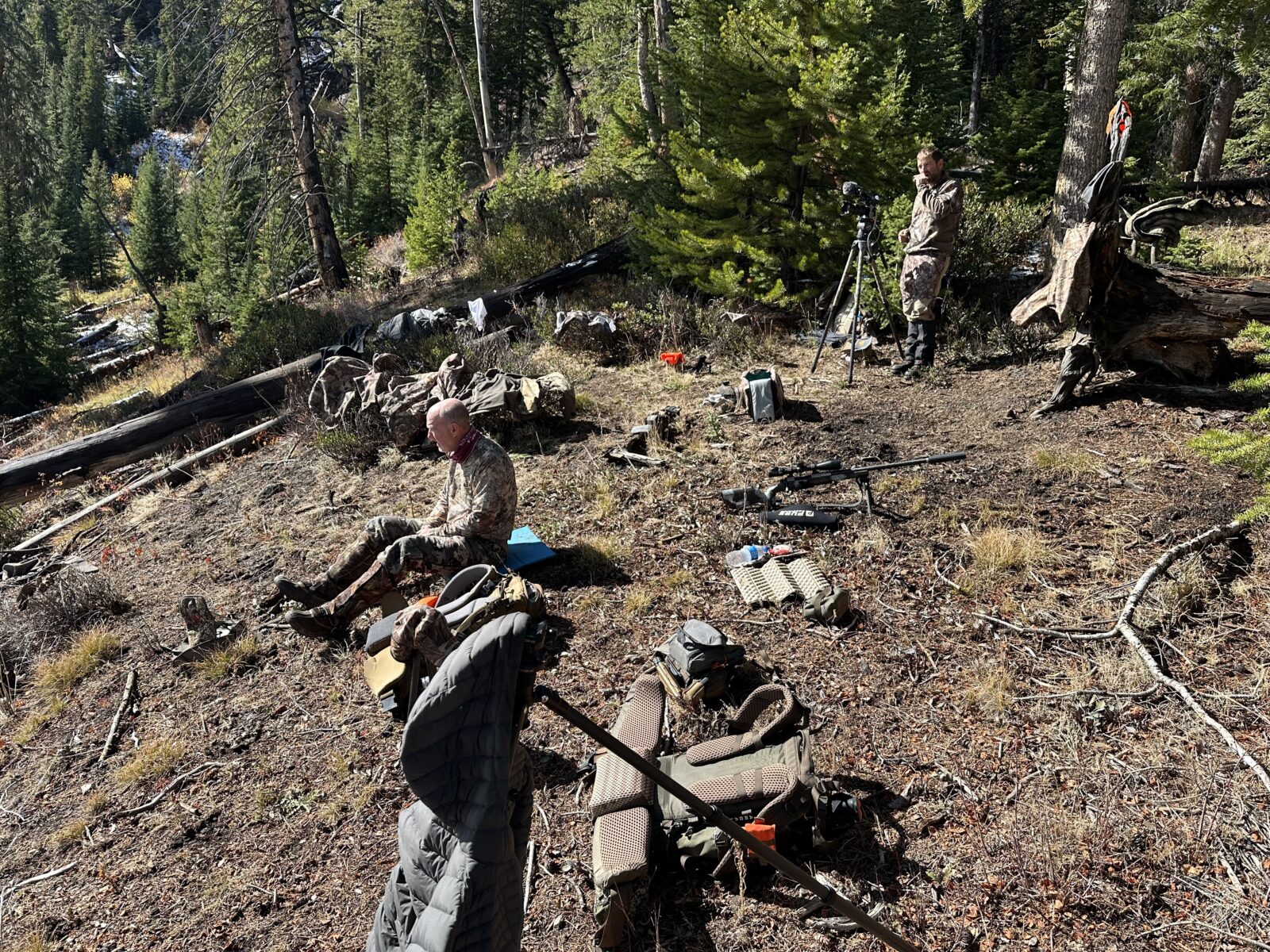
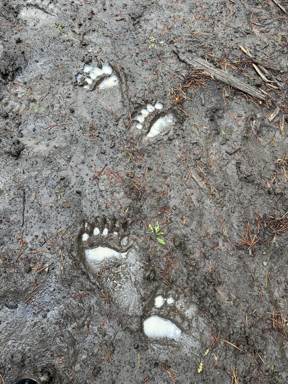
Dylan Dowson’s first Wyoming hunt takes him into grizzly country in search of a mature, public-land bull. Hunting a general tag alongside his uncle, Dylan battles October weather, hunting pressure, and a steep learning curve as he figures out new country and chases elk in Wyoming.

Play by Play Breakdown

Private/Public Land Layers
We ended up hunting elk that were bedding on public land but often moving onto private land at night. In the heat of the moment, we relied on the private / public boundary information to make sure we stayed on public land and hunted legally.

Compass Mode
Several times, we spotted elk from a distant, elevated vantage point. Before leaving our glassing perch, I used Compass Mode with the Rangefinder Tool to mark the elk’s location. Once we dropped off the ridge and lost visual, those marks helped us stay on track and make an accurate approach.

3D Maps
We spent countless hours using Imagery and 3D to identify elevated vantage points where we could glass and set up for shots on areas we expected elk to emerge. Finding elk wasn’t always the challenge—finding a position that offered enough elevation, a clear shooting lane, and was within range often was. Those tools made a huge difference.

Wilderness Layer
As a nonresident in Wyoming, I couldn’t legally hunt within designated Wilderness Areas. This layer helped me eliminate those areas during both e-scouting and while hunting in the field. We spotted elk inside Wilderness boundaries several times, and by using this layer along with Compass Mode, we could quickly determine whether they were on legally huntable ground before making a move.

Recipe
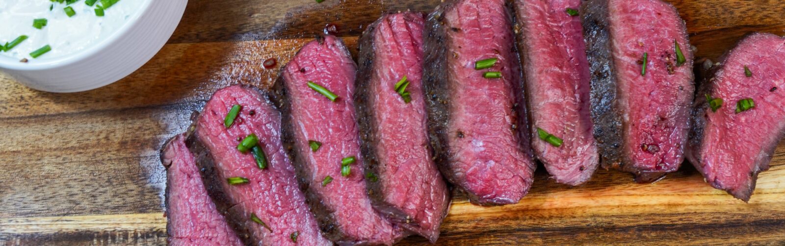
Sous Vide Elk Backstrap With Horseradish Cream Sauce

Thanks to Our Sponsors