All In the Family: Montana Elk
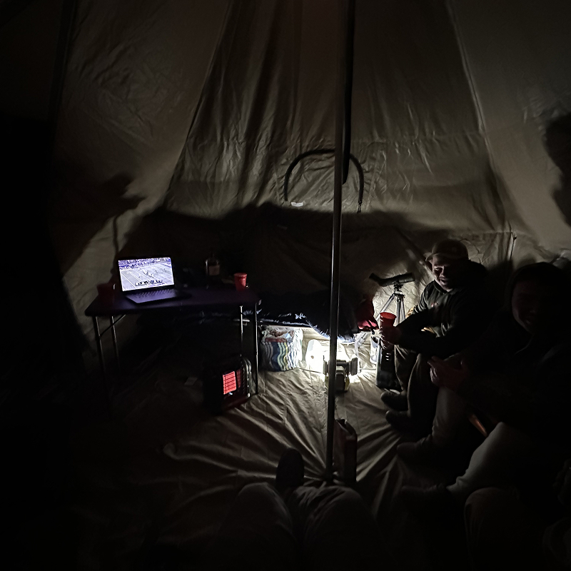
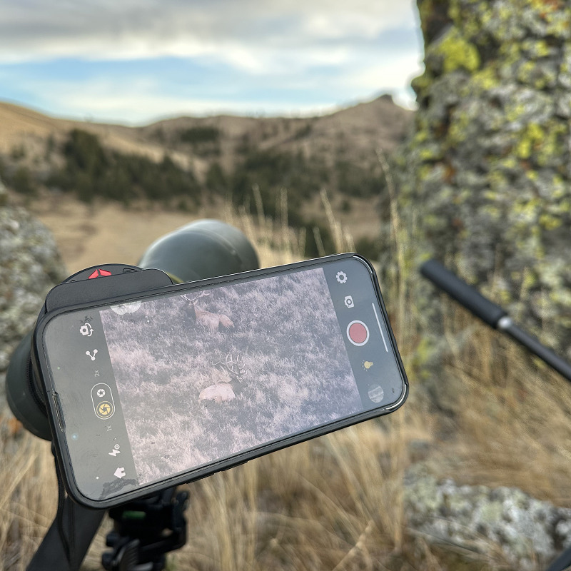
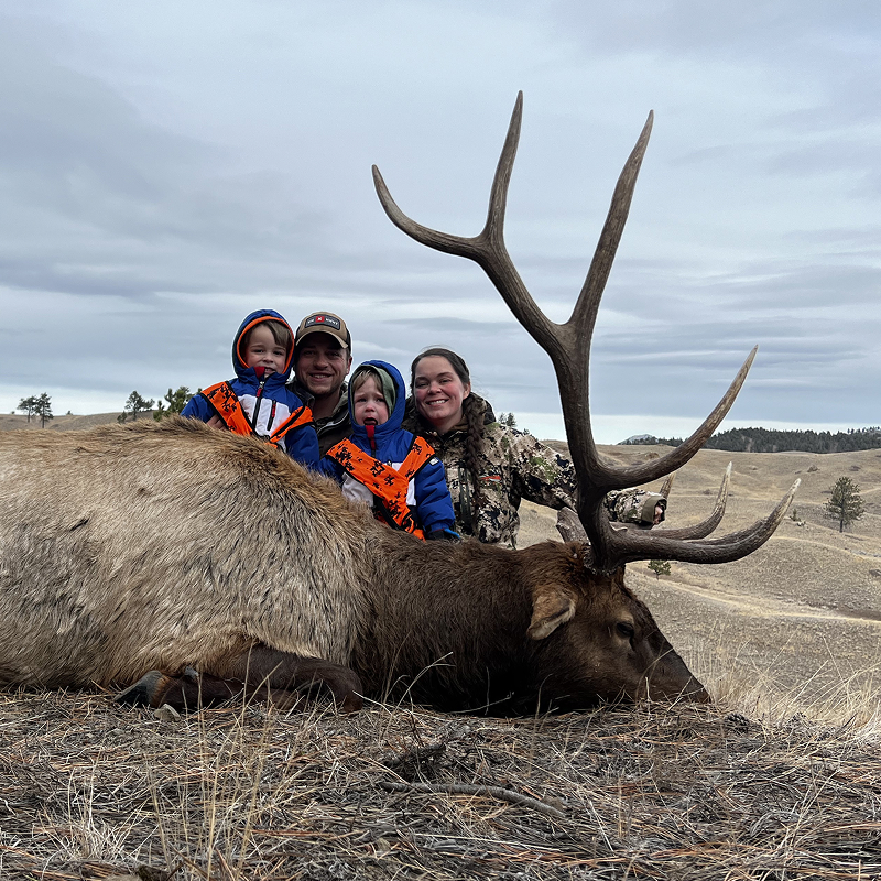
Mom, wife, and now elk hunter—after drawing one of Montana’s most coveted elk tags, Cami Dowson sets out on her first elk hunt with Dylan and their two boys by her side. Passing up many bulls in search of the right one, the family shares every challenge and decision together before Cami punches her very first elk tag on a mature Montana bull. It’s a story about patience, family, and making a once-in-a-lifetime opportunity count.
Play by Play Breakdown

Hunt Research Tools
We used onX Hunt’s Hunt Research Tools while applying for this tag. By entering the number of preference points Cami had, we were able to compare draw odds, evaluate recent tag and unit trends, and identify the hunt that best matched what we were looking for. It gave us confidence in our application strategy—and fortunately, Cami drew the tag.

Lidar
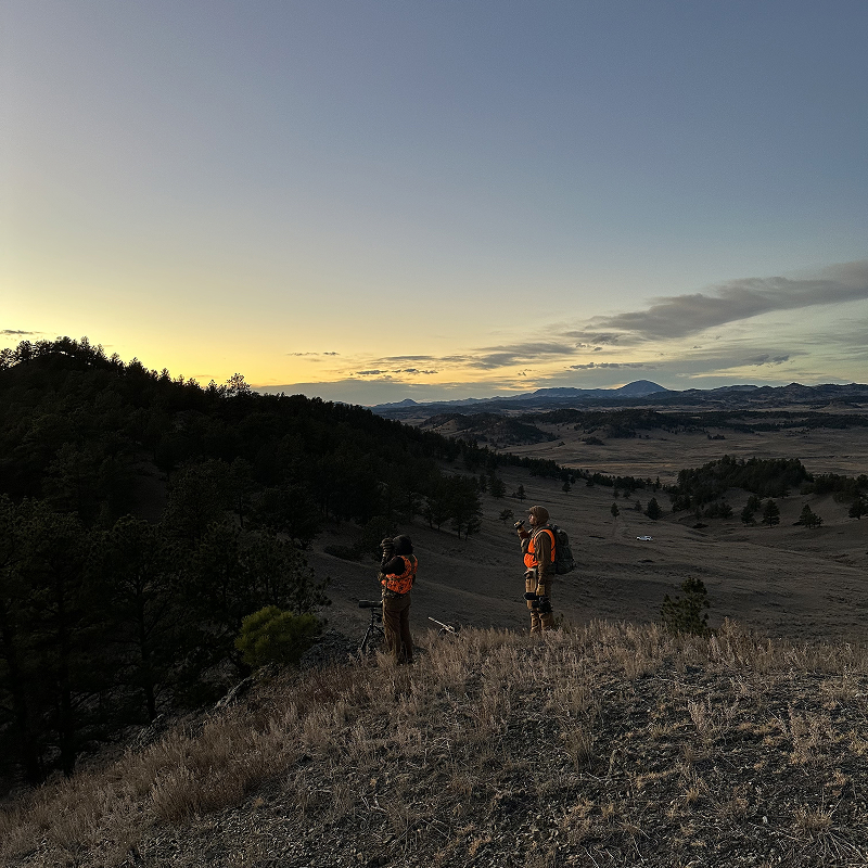
The terrain in this country was broken and rolling rather than steep, with lots of subtle features that traditional topo maps didn’t always capture. Lidar let us analyze the landscape at a much finer scale, revealing small ridges, benches, drainages, and terrain features that were easy to miss otherwise. That extra detail was incredibly helpful for planning stalks, staying concealed during our approach, and identifying the best glassing locations.

Wind on a Waypoint
We had several consistent glassing locations saved as Waypoints on the map, and I added the Current Wind feature to each one. That allowed us to check the wind speed and direction at those specific locations while we were still in camp or hunting elsewhere. Having that information helped us make a plan each morning, decide which vantage points to hunt, and approach the country with the wind in our favor.

Shared Waypoints
We received several tips from hunters who had previously drawn this tag, along with insights from local landowners and others familiar with the area. Being able to share Waypoints and Tracks through onX Hunt gave us a huge advantage during the e-scouting process, allowing us to quickly organize local knowledge, identify high-potential areas, and spend more time hunting productive country once we arrived.



Recipe
Venison Bolognese Bruschetta

Thanks to Our Sponsors