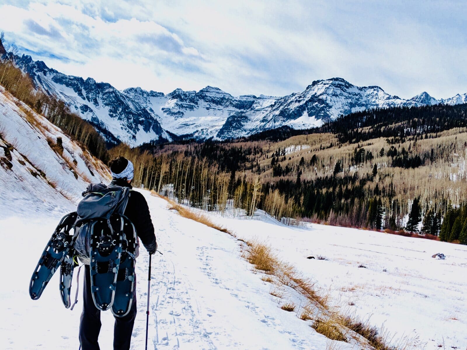
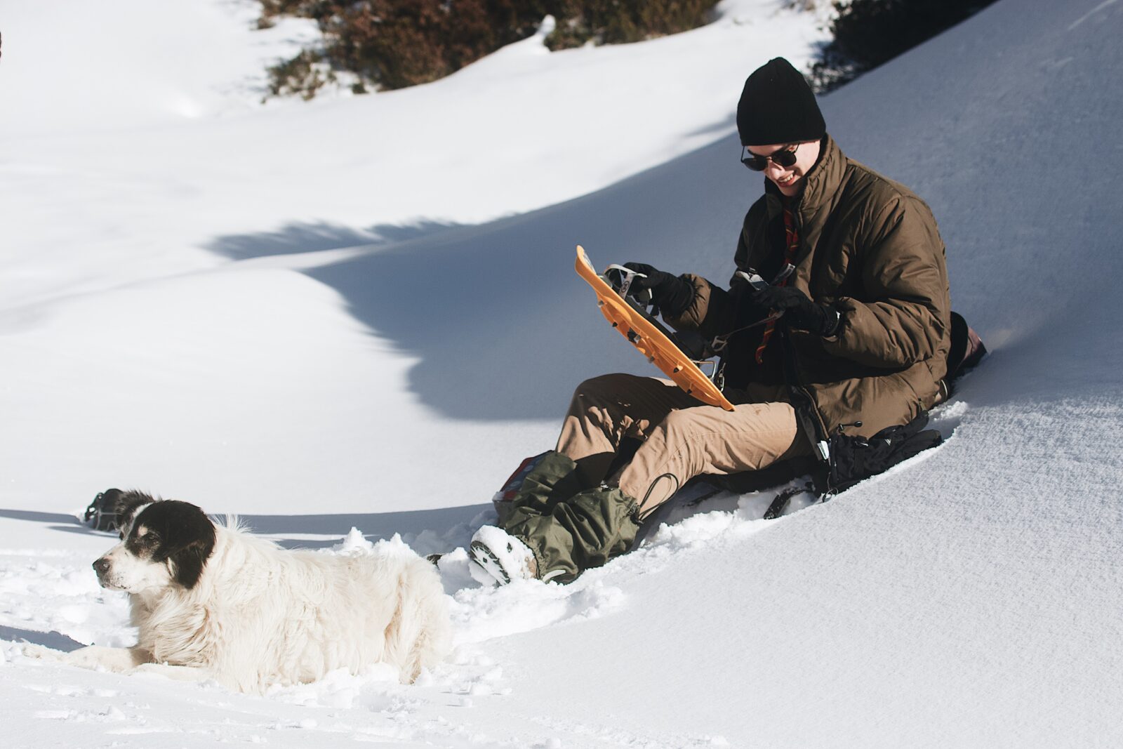
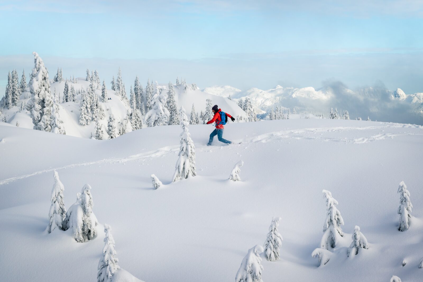
Find Snowshoeing Trails Near You With onX Backcountry
Before your next snowshoeing outing, use onX Backcountry, the best snowshoe trail map app, to help you plan your next adventure. With detailed snowshoe trail maps and dozens of comprehensive features, onX Backcountry can help you find your new favorite snowshoe trail.
Before your next snowshoeing outing, use onX Backcountry, the best snowshoe trail map app, to help you plan your next adventure. With detailed snowshoe trail maps and dozens of comprehensive features, onX Backcountry can help you find your new favorite snowshoe trail.
Guidebook-Quality Snowshoe Trails
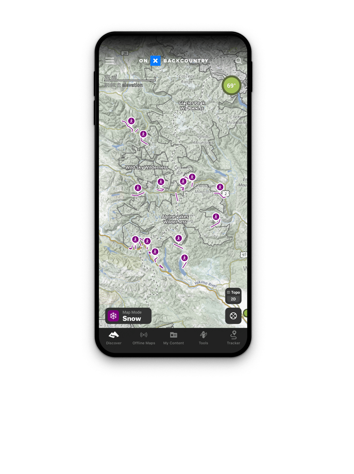
onX Backcountry features guidebook quality snowshoe trail information. To access these trails, tap the “Map Mode” button in the lower left-hand corner of your screen, then select “Snow.” Scroll down, select “Snowshoe”, and return to your map screen. Snowshoeing trails will be highlighted, and you will see details including name, length, and more.
Offline GPS Maps for Snowshoeing
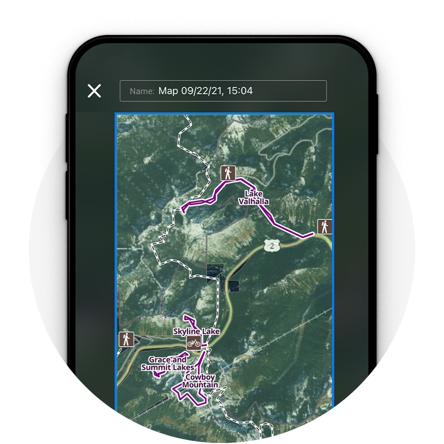
Many of the areas in which our favorite snowshoeing trails are located are far beyond cell service. onX Backcountry offers Offline Maps to provide navigation without the use of cellular data. Make sure you download Offline Maps before you head out on your next snowshoe adventure.
Wind and Weather Reports
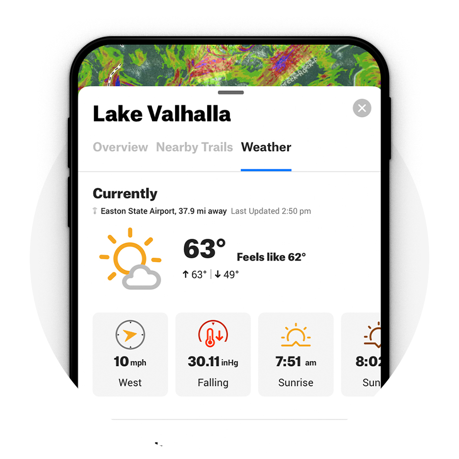
Being prepared for winter’s varied weather will help keep you safer during your snowshoeing adventures. Use onX Backcountry’s detailed weather reports and seven-day forecasts to find out what you’re likely to encounter in the woods and on the trail.
Start Your Free 7-Day
Trial Today
Get access to nationwide snowshoe trails, Offline Maps, unlimited custom Waypoints, and more with onX Backcountry.
Basemaps for Snowshoers:
Satellite, Topo, and 3D Trail Maps
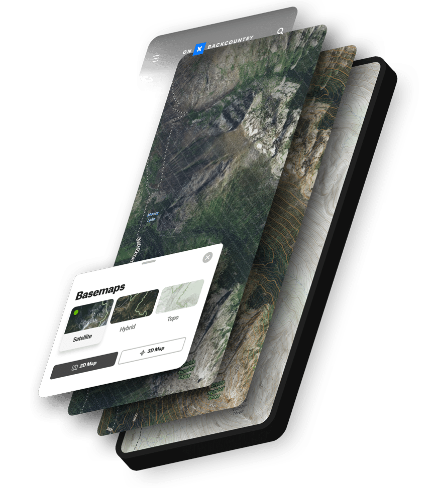
Satellite, Topo, and 3D Trail Maps
Plan your snowshoe trip with topographic maps, satellite imagery, and a Hybrid Basemap that displays topographic lines overlaid on a satellite map. Get the lay of the land by utilizing the 3D maps, which can help you get a better visualization of the terrain you snowshoe in.
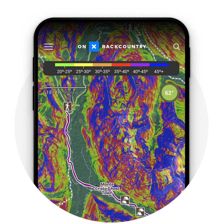
Color-Coded Slope Angles
Whether you’d like to determine the lay of the land or understand the potential for avalanche risk, onX Backcountry’s color-coded slope angle shading brings the topography to life to help you know what’s ahead on the trail.
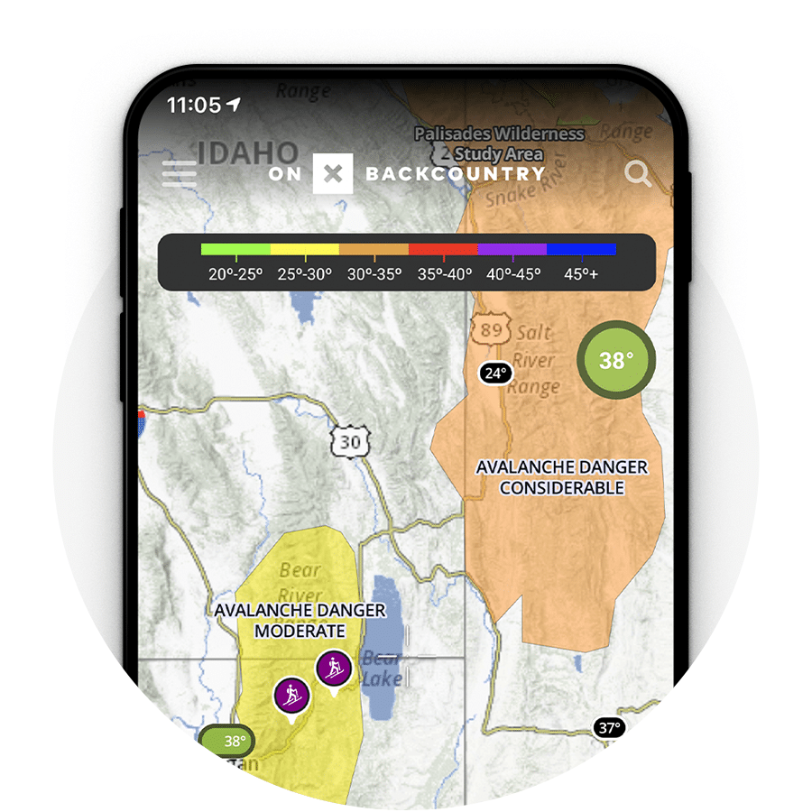
Detailed Avalanche Reports
Use the Backcountry App’s detailed Avalanche Forecast feature to make safer decisions when planning your next outing. We use the American Avalanche Association’s comprehensive forecasting to provide color-coded risk assessments on your map.
Start Your Free 7-Day
Trial Today
Plan your next snowshoeing adventure with onX Backcountry. Start your free 7 day trial.