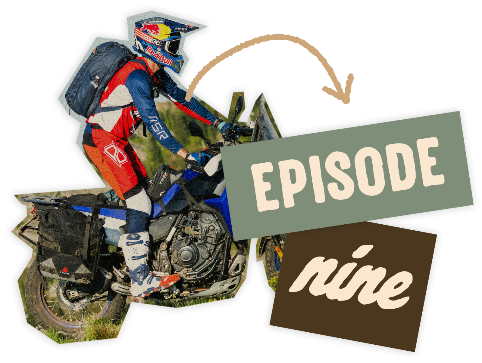
Rugged Adventures Episode 9: Wallace/Avery Loop, ID
With Trystan and Cody
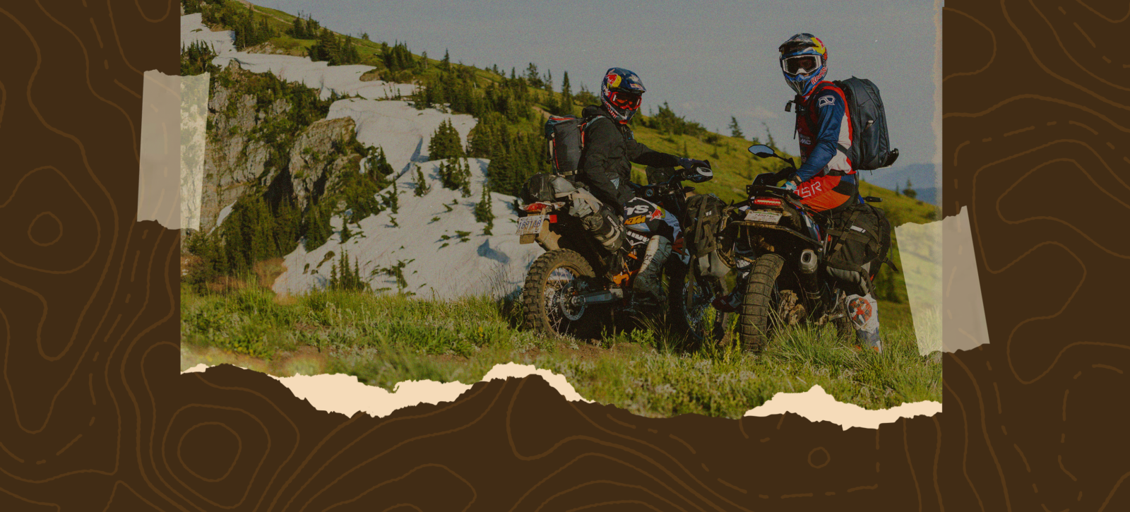
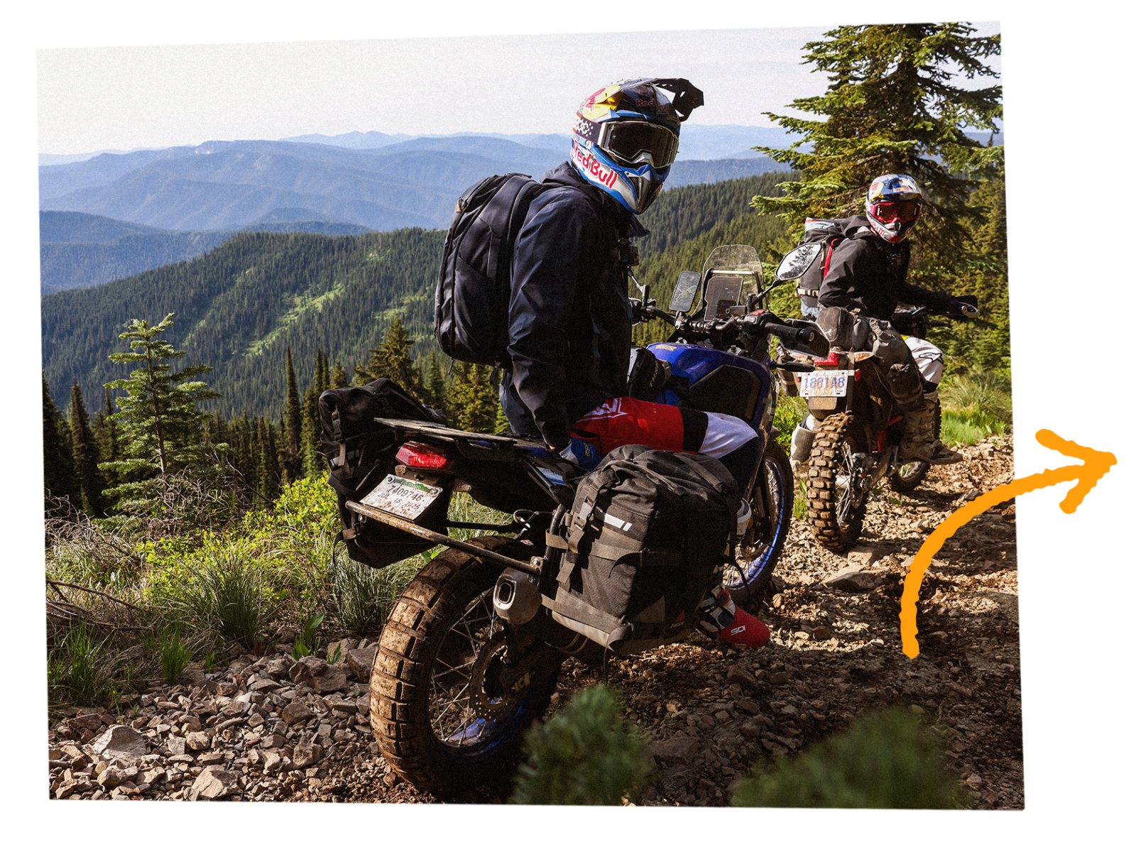
Trystan Hart and Cody Webb set off on their dual sport bikes to tackle some of the gnarliest trails in North Idaho. Ride deep into Idaho’s untamed backcountry on a no-repeat loop from Wallace to Avery and back, weaving through the St. Joe National Forest on a mix of fire roads, ridge-top two-track, and narrow singletrack. You’ll tackle snow patches, rocky climbs, creek crossings, and downed trees, with epic camps along the Montana–Idaho border and at wild creekside spots. Fuel up on small-town pizza and ice cream mid-ride, then wrap it all with huckleberry pancakes in Wallace. This is more than a ride—it’s a full-throttle adventure through some of the wildest, most scenic terrain the Northwest has to offer.
New onX Offroad Route:
Wallace/Avery Loop, ID
We kicked off the ride just outside Wallace, Idaho, a small town off Interstate 90. The trailhead was only a few minutes out of town and gave us access to hundreds of miles of trail deep in the St. Joe National Forest. The plan was a clockwise loop to the town of Avery, then back to Wallace—no doubling back, no riding the same section twice.
We started out on Moon Pass Road, the main dirt fire road straight to Avery. This road follows the path of the old Milwaukee Road railway, which once moved freight, people, and materials from the silver mines in Shoshone County. The views were incredible, with seven single-lane tunnels to ride through. If you want an easy cruise to Avery, Moon Pass is the route to take.
Not long into the climb, we turned off onto Red Oak, our first bit of two-track. It started with some loose, dry switchbacks in the sun, then transitioned into a fast and flowy section under the trees. We climbed up onto a ridge and opened up the throttle on some smooth jeep road. Eventually, we reached a trail intersection with Boulder Creek and stopped to take in the view. There was still some snow up high, and we made the mistake of dropping into Boulder Creek. With all the snow melt, the trail turned slick. The stock tires on the Tenere were not cutting it. Cody had a rough time getting out, but after a few failed attempts and Trystan pulling him up the top section, we got back on track.
Our next stop was a ridgeline photo break with Stevens Peak in the background. There was serious exposure off the edge, with several alpine lakes far below. Daylight was running out, so we kept moving. We jumped on the St. Joe Divide North Trail, which narrowed into true singletrack with some moderate exposure. Once we cleared those sections, we dropped back into the pines and had to deal with more snow. We sent one of our camera guys ahead to scout the trail before committing with the bikes.
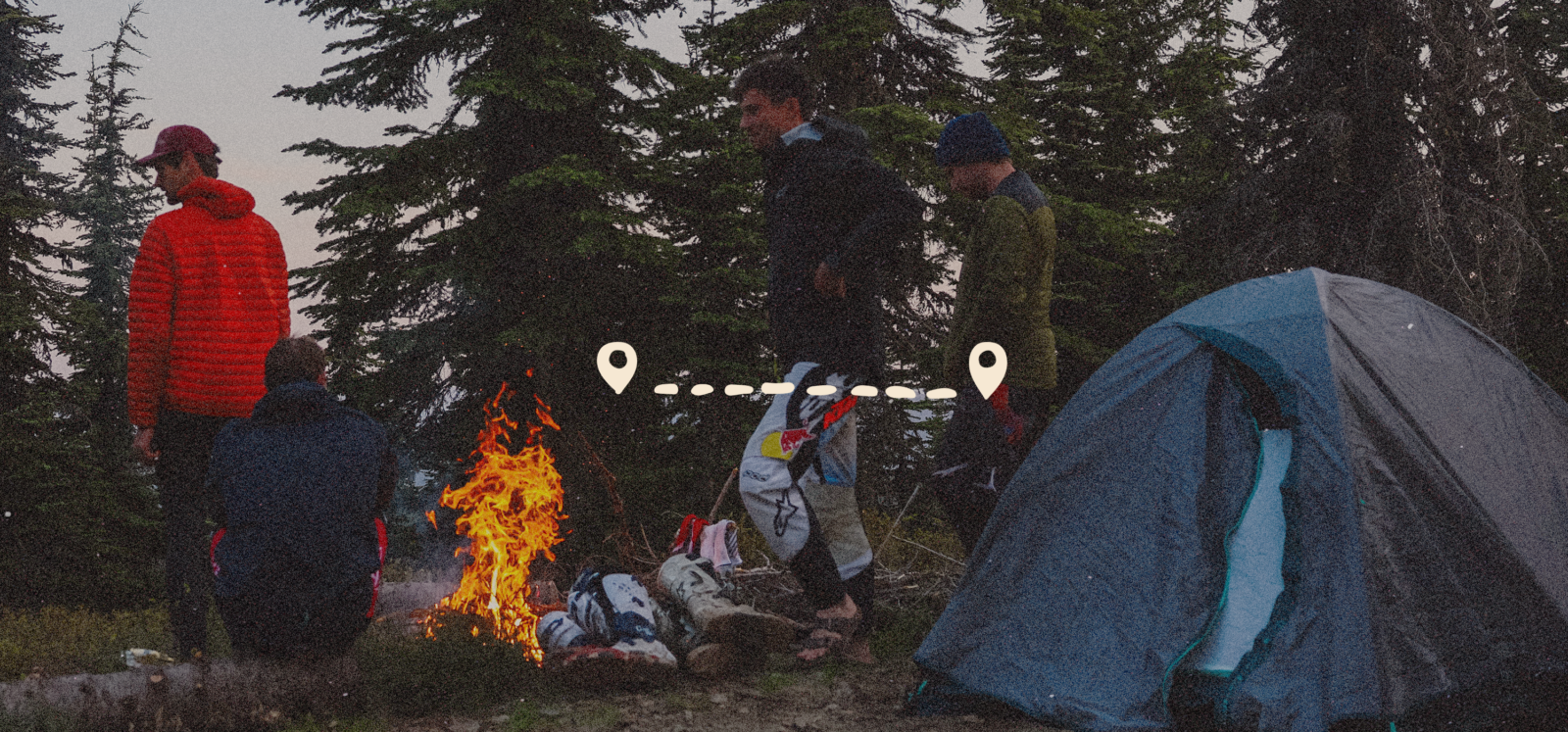
We passed our next planned junction and found a solid ridgeline camp right along the Montana-Idaho border. The views were wide open, and we were close to the point where Coeur d’Alene, Lolo, and St. Joe National Forests all meet. We grilled up a couple ribeyes, cooked some pasta, and called it a night by the fire. At first light, we had breakfast and coffee, then packed up and hit the trail.
We dropped off the St. Joe Divide and rode down Wonderful Peak, a mix of singletrack and two-track. The trail was smooth, with a few patches of snow, but nothing too technical. It dropped over 3,000 feet back onto Moon Pass Road. After riding through a few more tunnels, we turned off and headed up Big Dick. This was a fun climb over one of the tunnels. We did lose one of Trystan’s bags on this trail. If you find it, you scored.
Big Dick turned into Shefoot, which was mellow two-track. We made a sharp left onto Nelson Ridge and followed it all the way down into Avery. There was a bit of exposure and some switchbacks near the bottom, but the early part of the trail through the trees was a highlight.
In Avery, we stopped for pizza at TFP’s, refueled the bikes, grabbed some water and snacks, and replaced a few dinner supplies we had lost. We finished with some ice cream by the St. Joe River before parting ways with the media crew and heading back into the forest.
After that recovery stop, we cruised for about 10 easy miles along Dunn Peak Road, then turned right onto Cedar Creek. One short stretch had the worst exposure of the trip. The rest of the trail was solid. We linked up with Slate Creek for a bit and stopped at a pullout with creek access.
Next, we turned onto Prospect and crossed Slate Creek. Water levels were manageable, but that could change with the season. The trailhead was easy to miss, so stay alert. Prospect Trail climbed up to Slate Peak and delivered some killer views. From the top of Mastodon Mountain we could see Stevens Peak in the distance. The back side of Slate Peak had a loose and rocky downhill, so take it slow.
We made a right onto Cemetery Ridge and stayed on that road for a while before turning onto Dam Ridge Trail. By this point, we were starting to feel it. We were tired, both physically and mentally. That did not last long.
As we started descending Dam Ridge, things escalated fast. There were downed trees everywhere, and getting through on big adventure bikes was no joke. We had to drag one dead tree off the trail and pick our way through some tight spots. There were a few more sections with steep exposure. Just when we thought we were clear, we ran into a massive log suspended across the trail. No getting over or under it. We had to find a new route down and walk the bikes through untouched terrain to bypass it. By the time we hit the creek, we were dripping in sweat and knew it was time to find camp before dark.
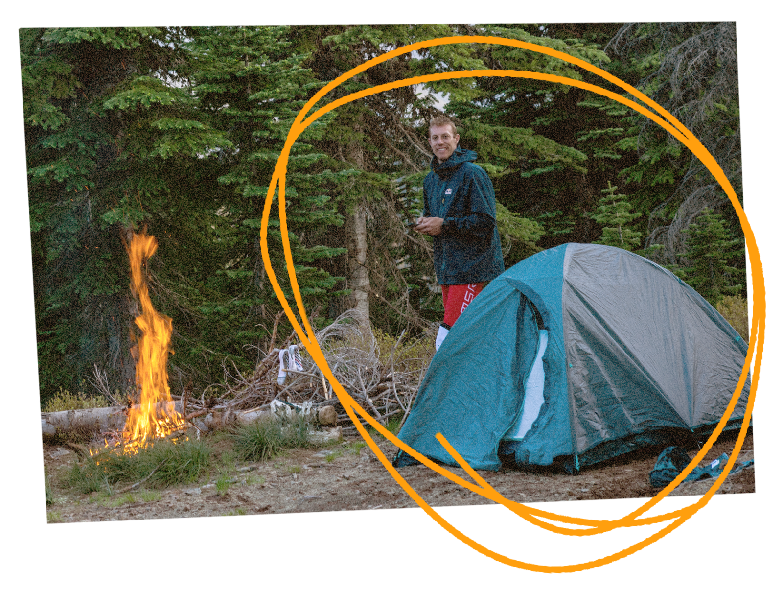
Night Two’s camp was right where Dam Creek and Slate Creek meet. It was a solid spot with easy access to water for boiling and cooking the last of our food. Morning came in cold, so we packed up quick and got moving. We were out of food and water. Riding along Upper Slate Creek with frozen hands and feet was rough. Once we turned left and climbed up Bad Tom, we started to warm up. The trail was more worn in and wider, a clear sign we were closing in on town.
Cranky Gulch was our final bit of technical riding before dropping into the valley near Wallace. Cody had a tough time with the exposure on the narrow sections thanks to the wide bags, while Trystan was charging hard to get back. The lower part of Cranky Gulch opened up and was a great way to wrap the ride. We hit Moon Pass Road almost exactly where we had started and rolled straight into The Brooks Restaurant for a well-earned plate of huckleberry pancakes and waffles.
We had a hell of a time on the Rugged Adventure. Thanks for tagging along.
Save The Folder; Explore The Route
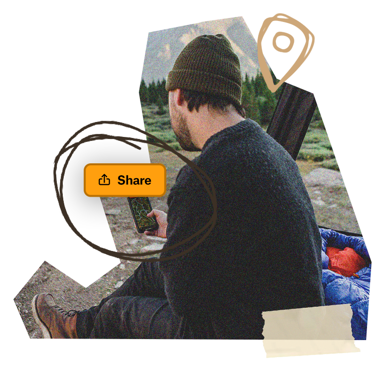
Download the Wallace/Avery Loop, ID Route trip Folder to save it right to your onX Offroad App and share it with friends. You’ll have all the information you need to prepare and safely execute the Route, including Photo Waypoints that mark suggested campsites, creek crossings, supply stops, and more.