Rugged Adventures Episode 7: Desert vs Mountains Route
With Talon Sei
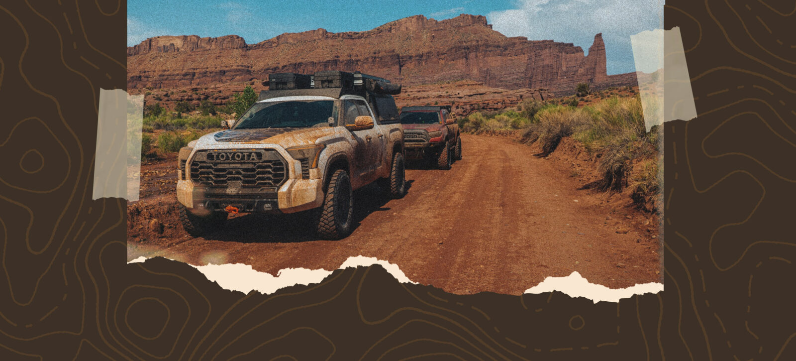
Ready for 225 miles of everything from getting soaked in creek crossings to seeking shade under cloudless skies in the Western Colorado deserts? Joine Talon Sei on this route that pits Deserts vs. Mountains from Delta, Colorado, to Professor Valley, Utah. Start on tight trails among the aspens and steadily get in wide-open spaces—and plenty of rocks—before your journey ends three days later along the banks of the Colorado River. Along the way you have your pick of hiking, biking, fishing, and a lot more, or just enjoy the views and the challenge. This route is well-suited to a high-clearance 4×4 rig, though SxSs and motos will also tackle it with ease—just be ready to get wet.
New onX Offroad Route:
Desert vs. Mountains Route
Day 1 – Western Colorado, mostly open graded roads unless you choose to take on the optional pinstripe alley. From there the Jeep trail will be your most challenging section for the day. High Clearance 4×4 with 4lo is highly recommended as there are tight turns with drops about a foot tall. Recovery gear and an experienced driver is also a plus. Finish the day in a quiet aspen grove with views of the San Juan mountains.
Day 2 – Start the day easy with open graded roads until you reach the first challenge: Burro Creek. This trail drops off of the Uncompahgre Plateau and quickly transitions into desert landscapes. With fallen aspens covering the trail things get tight at times, and it is recommended to carry a saw, axe, or other tools to clear your way. Next stop would be Nucla for fuel and supplies or Naturita for even more options, but this does involve a small run on pavement. Next hop into the Long Park Mine tour and make sure you give yourself plenty of time to explore the hundreds of offshoot trails in the area. Tread lightly as this was a major location for uranium mining and other materials in the past. Leaving the mines out of Uravan, you can immediately hop on the Rim Rocker, which will take you straight to the Utah border camp. For the hardest option route in the area, take a left about midway to camp onto the Red Canyon Paradox trail, but leave yourself plenty of time as this is rated a 6 out of 10. Dispersed camping is available all around Buckeye on a first-come, first-served basis.
Day 3 – Start the day heading west with beautiful views of the La Sals as you cross into Utah. At Geyser road, continue straight to explore around the often-overlooked north side of the mountains. When you reach the Kokopelli Trail there is an optional left, which will take you over to Fisher Mesa Trail (4 out of 10 difficulty). This trail takes you out to beautiful views of the valley but if you prefer some exercise, you can also hike out to make things a little more scenic along the way. Back to Hideout Canyon things will start to look a lot more like southern Utah, with red rock spires, giant plateaus and other rock formations along the route. There are a lot of options for off shoots here so take your time and explore some of them. At the end of the canyon you will climb the walls up over a V notch and find yourself in Fisher valley that you may have seen from above on the optional route. This leads directly into Onion Creek with over 25 water crossings and beautiful formations for miles and miles. Use caution through this area as there is often two-way traffic and flooding debris after heavy rains. End at the Colorado river back on pavement where you can head left into Moab for the night or right to drive back to Colorado.
Save The Folder; Explore The Route
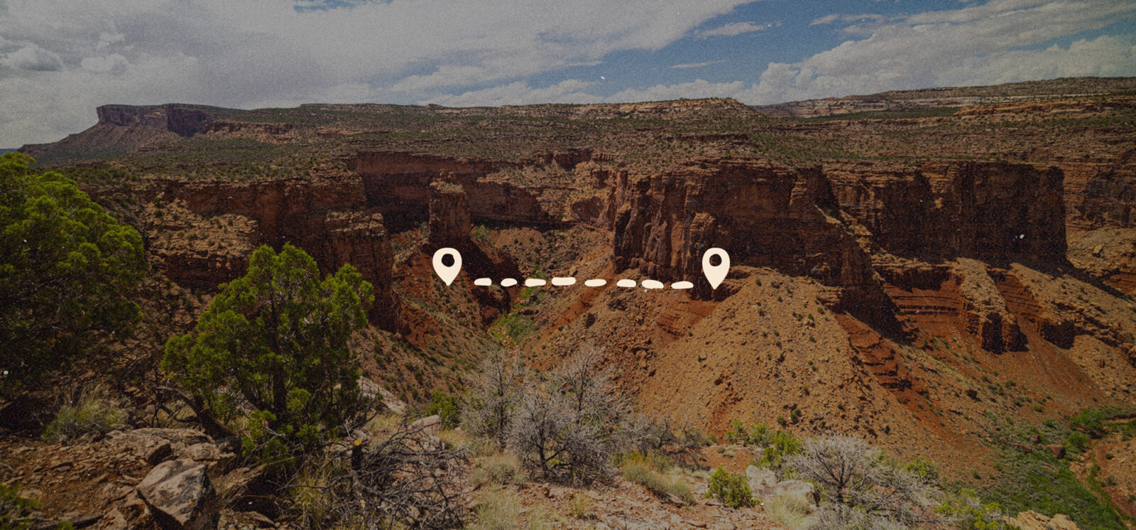
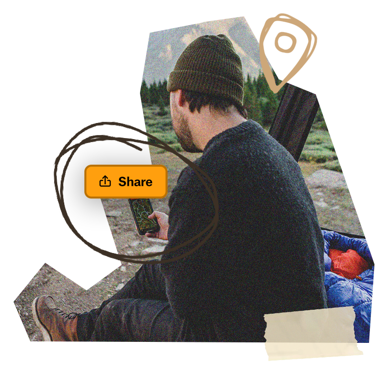
Download the Desert vs. Mountains Route trip Folder to save it right to your onX Offroad App and share it with friends. You’ll have all the information you need to prepare and safely execute the Route, including Photo Waypoints that mark suggested campsites, creek crossings, trail obstacles, fuel stations, meet-up points and more for this three-day trip.