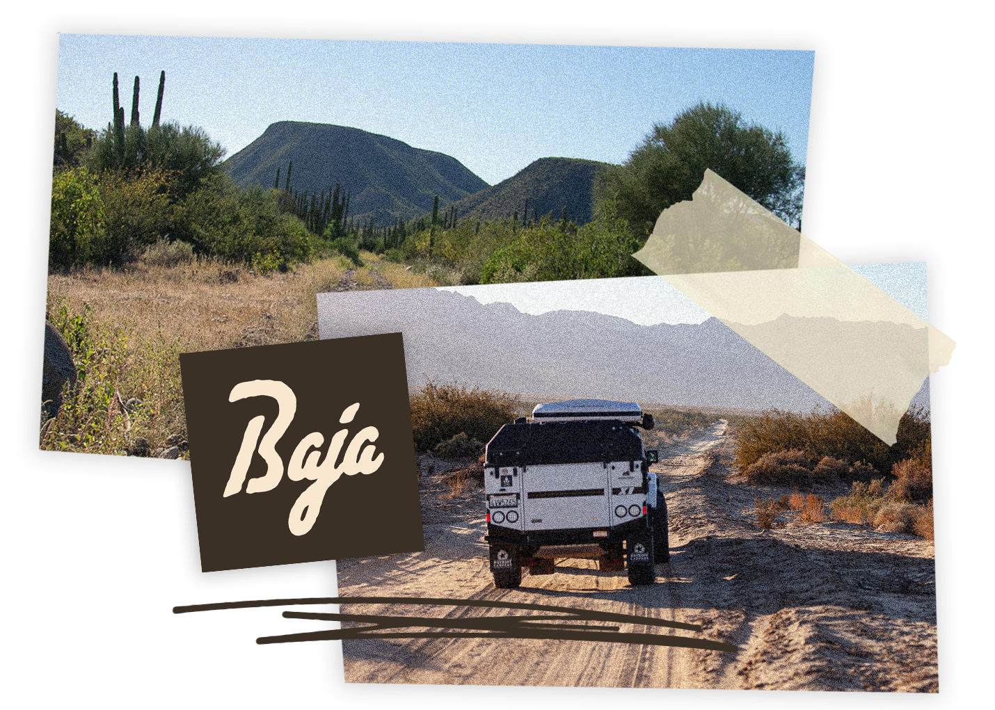
Rugged Adventures: Baja Expedition
With OVRLNDX
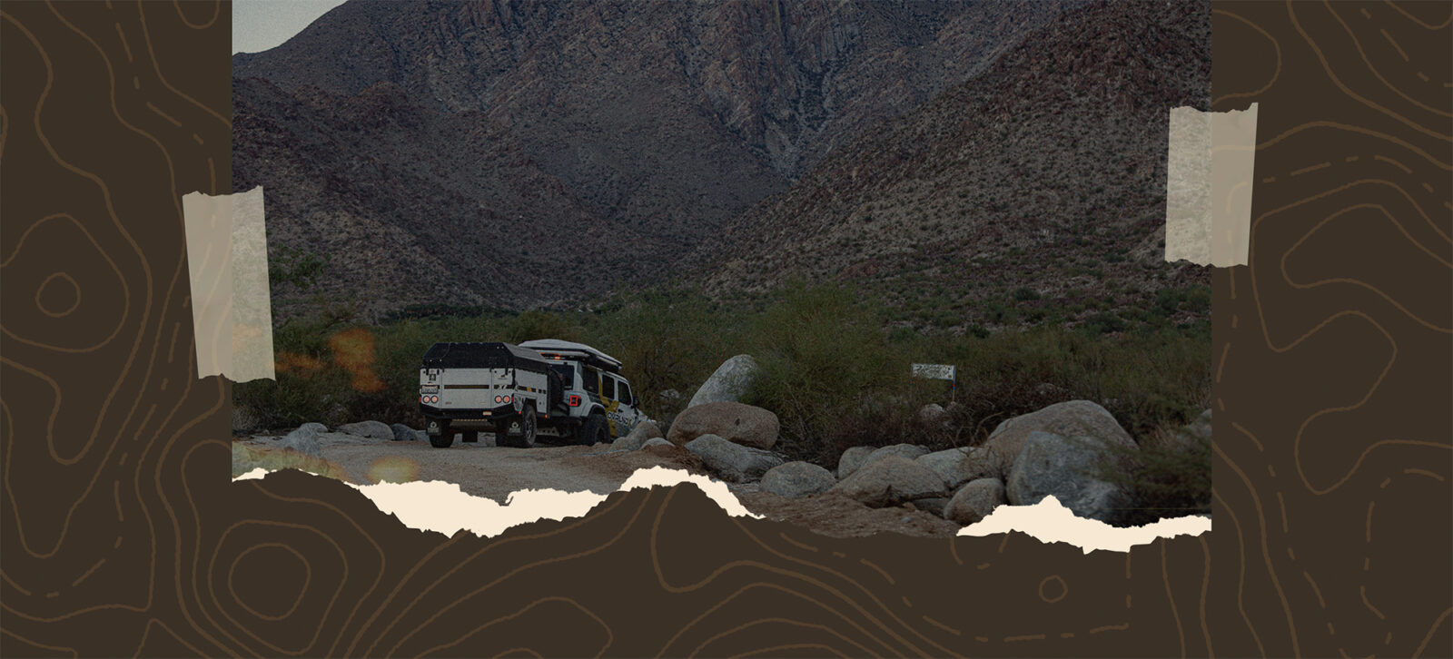
This is your chance to leave the border behind, fire up your 4×4, and explore the rugged beauty of Baja California—a landscape that demands preparation, rewards adventure, and promises unforgettable moments. From securing permits, navigating food and customs restrictions, and carrying Mexican pesos to managing long fuel stretches and solar-powered stations that shut down at sunset, smart planning is essential. Along the way you’ll cross salt flats, remote coastlines, painted caves, historic missions, and friendly fishing villages—each offering a glimpse into Baja’s wild heart.
Explore the Baja Expedition Like a Pro
Segment One: Canyon de Guadalupe (Rating 2)
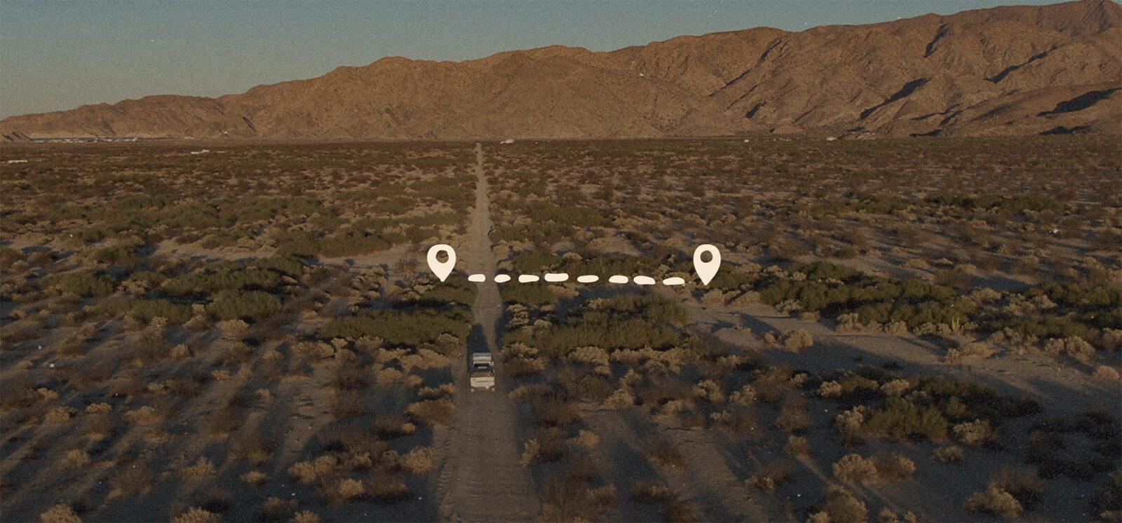
After crossing into Mexico through the Mexicali border on CA-7, we made our traditional first stop at Ferbis Grocerant, our favorite grocery store in town, to stock up on supplies for the six-day adventure. From there, we traveled toward the entrance of Laguna Salada, beginning the first segment of our journey—Los Manantiales, Canyon de Guadalupe Hot Springs. Though entering at km 28 is a safer route to traverse the dry lake, driving on the dry lake is smoother and quicker, but there’s the risk of getting bogged down if you don’t pay attention to the trail.
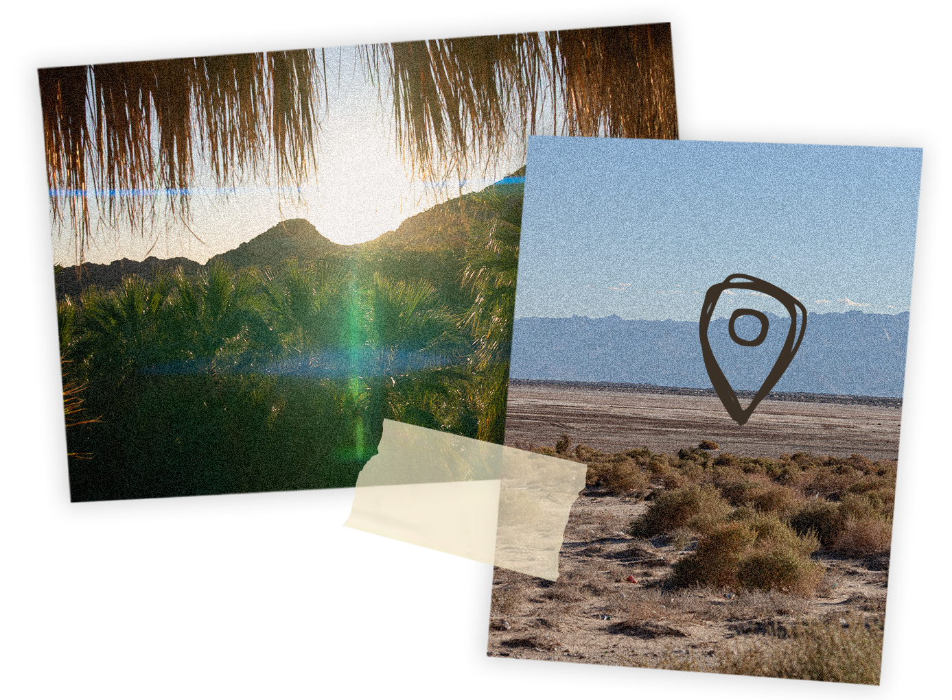
We spent the night relaxing in our own private hot spring beneath the stars. The following morning, we met Mario Loya, the owner and great-grandson of the man who discovered this oasis in the 1800s. Mario shared the fascinating history of the canyon before we set out on a short hike to the first waterfall—one of seven spring-fed falls in the area. Exploring them all would take five to six hours of hiking.
Mexicali → San Felipe
- Distance: 125 miles (~2 hrs 4 min).
- Tip: Fill up with fuel in San Felipe before heading south.
Segment Two: The Salt Flats & San Felipe Coastline (Rating 3)
From Canyon de Guadalupe, we continued through the Laguna Salada Salt Flats, an iconic but treacherous landscape that demands respect. Wet areas can quickly bog down even the best-equipped vehicles, so careful navigation is essential.
After reaching Federal Highway 2D, we turned toward San Felipe via Highway 5, refueling before the exit. In San Felipe, we topped off the tank and filled an extra 8-gallon spare tank—a must, since the next gas station in San Luis Gonzaga operates on solar power and often closes after sunset.
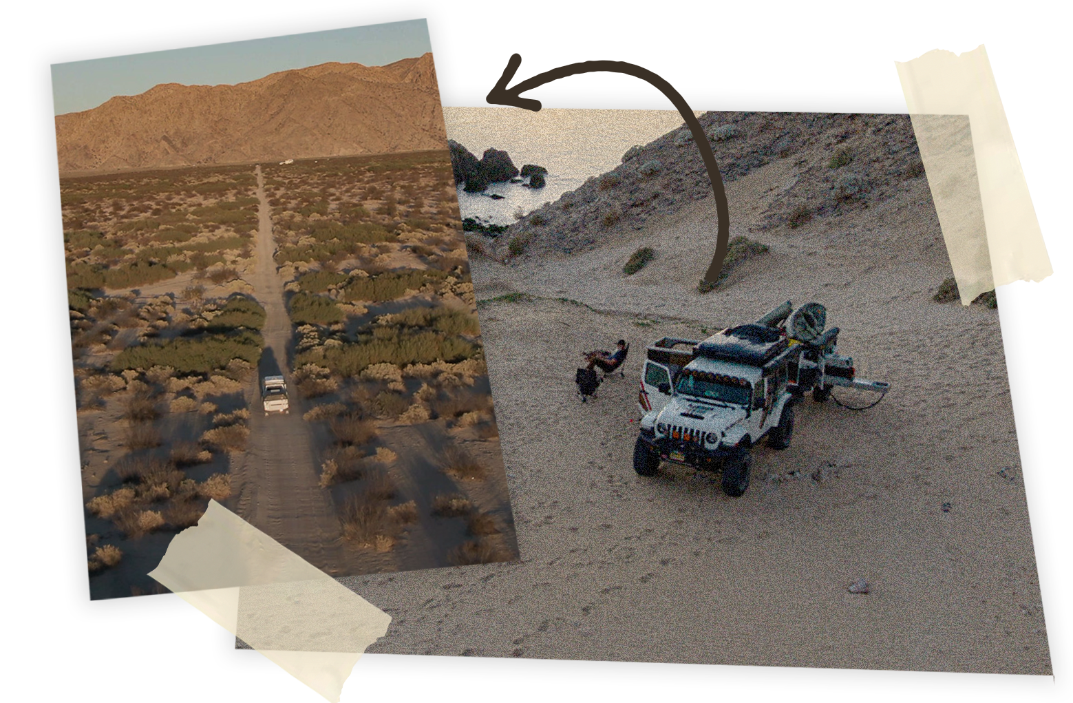
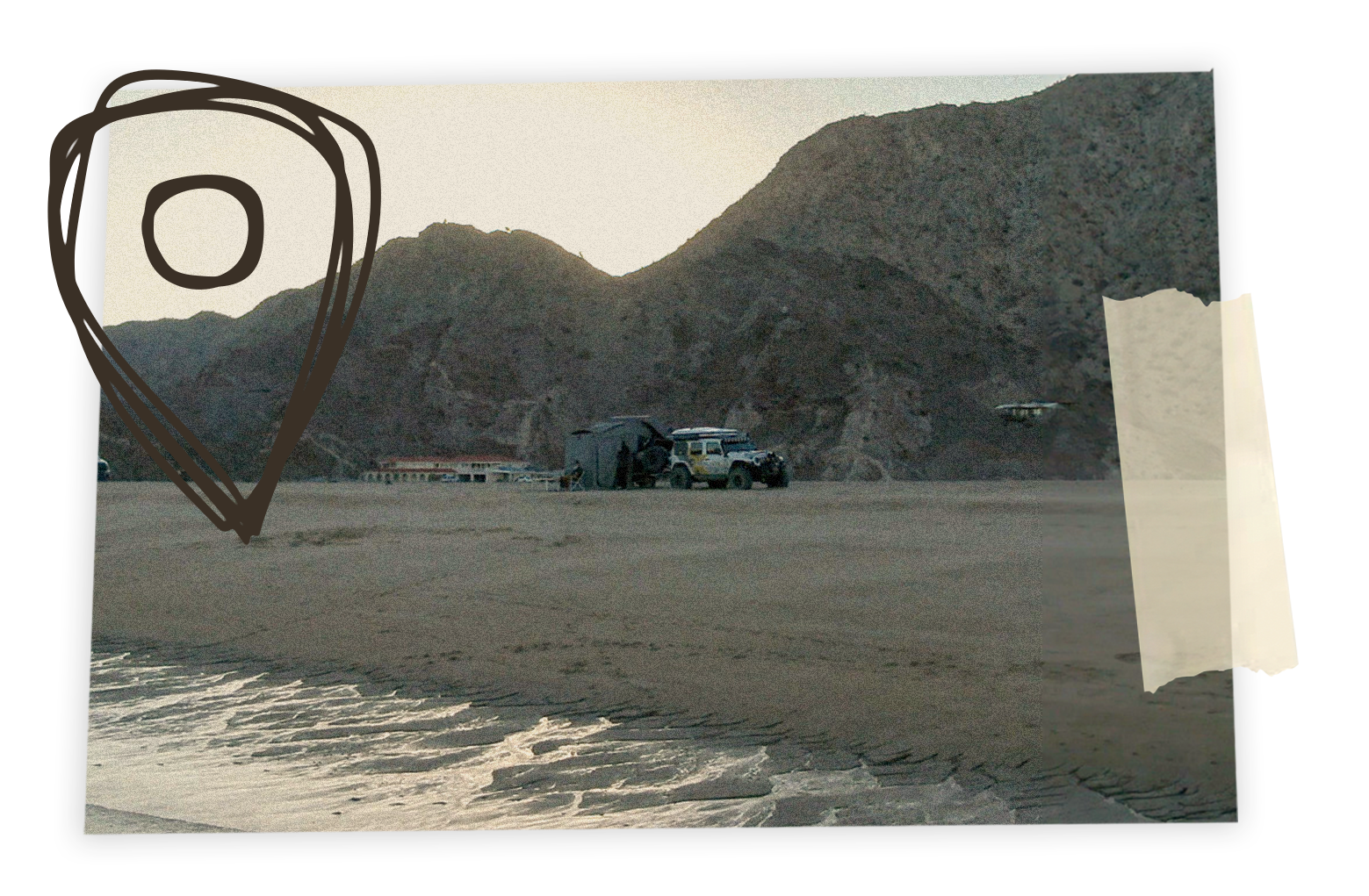
Thankfully, we arrived before dark and refueled without issue. A few miles south, we reached the Punta Final dirt road, where we were greeted by Felipe, the longtime gatekeeper and a good friend. He opened the gate and led us to a prime beach campsite. A couple of vanlifers were already set up nearby. Punta Final is a camper’s dream, sleeping right on the shore listening to the sound of the sea is one of the most relaxing ways to camp.
As the sun set, we grilled ribeye steaks with vegetables, ending the second segment of the trip with a perfect seaside dinner.
Gonzaga Bay → Cataviña
- Distance: 60 miles. (~1 hr).
- Highway Fuel Sellers: Locals often sell fuel along Highway 1
- In Town: No gas stations available.
- Pro Tip: Carry spare fuel containers for peace of mind.
Segment Three: Cataviña & The Painted Caves (Rating 2)
The next morning, after coffee and tea, we broke camp and began the third segment—heading south. Before leaving, I made the rookie mistake of getting the Jeep bogged in deep sand. I also learned (again) the importance of attaching recovery cords to the Maxtrax—losing one cost me half an hour of digging, and another 30 minutes of my wife’s scolding!
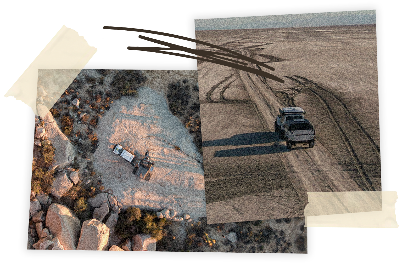
Once recovered, we aired up and continued toward Cataviña on Highway 5. At the junction with Highway 1, we turned northbound, excited to tackle the trail to Misión de Santa María—a remote, challenging route that’s best done with a local guide.
Upon reaching Cataviña, we discovered the Pemex station had been abandoned for years, which made fuel a concern for our thirsty V8 Jeep. Fortunately, a local family was selling gasoline from jerry cans by the roadside. As they filled out our tank, I heard someone call my name. It was Nathan Velasco, a local guide I had planned to contact. To my surprise, he recognized me from my channel and was already subscribed!
Nathan explained that reaching the mission would take 5-6 hours one way, so instead he suggested visiting the Cochimí painted caves—an archaeological treasure. We took his advice and were not disappointed. Several ancestral caves make this place a special point to explore. The ancient rock art and the breathtaking view from our camp atop a massive flat rock made for an unforgettable night.
Cataviña → Guerrero Negro
- Distance: 143 miles (~2 hrs 38 min).
- Services Available:
- Several gas stations
- Restaurants & hotels
- Banks & ATMs
- Mechanics
- Camping spots
Segment Four: Lost Misión and San Ignacio (Rating 5)
After refueling, we drove from Cataviña to Guerrero Negro and topped off before tackling the rugged off-road route to Misión de Santa Gertrudis la Magna, founded in 1752 by Jesuit missionaries. The road quickly turned rocky and was slow-going—airing down was essential. Recent storm damage made the route even more challenging, with sections of riverbed and loose boulders. The terrain is constantly changing, turning every mile into a new challenge that keeps you sharp behind the wheel.
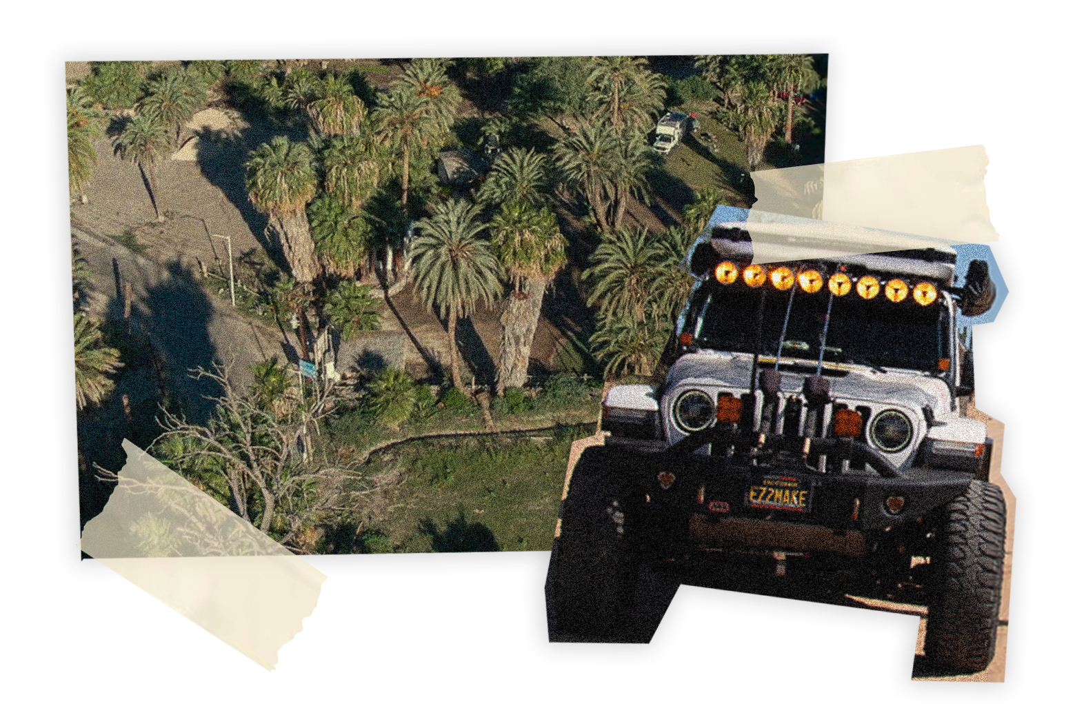
After exploring the mission, we returned to Highway 1 and continued to Paraiso Misional in San Ignacio, where we spent the night and prepared for the fifth segment—a visit to Laguna San Ignacio, a new destination for us.
Guerrero Negro → San Ignacio (Paraiso Misional)
- Distance: 100 miles (~1 hr 42 min).
- Fuel: Station offers diesel and premium gasoline.
- Camping: Paraiso Misional is a recommended spot.
Segment Five: Laguna San Ignacio & El Delgadito (Rating 3)
The next morning, we took things slow—coffee, tea, and conversations with fellow travelers. After greeting Andrés, the owner of Paraiso Misional, we unhitched the trailer, packed snacks, and set out toward the Pacific.
Our destination was El Delgadito (“The Little Narrow One”), a small fishing village perched on a narrow spit between the Pacific Ocean and the mangrove-lined waters of Laguna San Ignacio. The road was rough but scenic, bordered by colorful salt flats—patches of pink, green, yellow, and red caused by mineral deposits.
El Delgadito was one of the friendliest and safest places we’ve visited in Baja. The locals welcomed us warmly. On our way out, we met Paulina, a local girl who introduced us to her father, Chabelo, a fisherman. They invited us to a nearby beach, El Playón, where they taught us how to dig for Pismo clams right from the shore.
We gathered around 50 clams, enough to share with fellow campers and Andrés’s family back at Paraiso Misional. That night, we feasted and reflected on the unforgettable adventure we had just completed.
Homeward Bound
The following morning, we packed up, cleaned camp, and began the long drive north—tired, sun-kissed, and full of gratitude for another unforgettable Baja journey.
San Ignacio → El Delgadito
- Distance: 67 miles (~2 hr 45 min).
- Fuel: Only available in the town of San Ignacio.
- Camping: Dispersed only
Critical Planning details
Crossing the Southern Border into Baja California and Back
The following morning, we packed up, cleaned camp, and began the long drive north—tired, sun-kissed, and full of gratitude for another unforgettable Baja journey.
- Weapons & Ammunition: Strictly prohibited in Mexico.
- Tourist Permit: Required for all non-Mexican nationals.
- U.S. citizens must meet specific entry requirements to visit Mexico. These include a valid passport and the FMM tourist card. Get more info at https://www.touristcardmx.com/entry-requirements/us-citizens
- Fishing Permits: Even if not always checked, having one saves you from expensive fines if stopped by authorities. Learn more at Permiso de Pesca Deportiva Baja California
- Restricted Items: Meat, eggs, alcohol, and certain foods are not allowed across the border in either direction. Research before your trip is essential. A great way to avoid waste is to gather any unused food and give it to a local before you leave.
- Mexican Insurance: We highly recommend insurance while you travel in Baja. Do your research to find the best option for your needs.
Summary Tips and Local Expert Insights
- Always refuel when possible distances between stations can be long.
- Don’t rely only on official stations; roadside fuel sellers are common.
- Carry spare fuel containers for emergencies. Recovery gear is essential.
- Plan for restricted items and required permits.
- General Technical difficulty – Rating 5.
- Best season to travel – October to March.
- Vehicle type – Moto / 4×4 / Overland setup.
- All areas are pet friendly.
- Cash is King—ATMs are available in larger towns like Guerrero Negro, but many remote stations only take pesos in cash.
- Connectivity—Cell signal drops out south of San Felipe until Guerrero Negro. Download offline maps before leaving.
- Stop at Guerrero Negro for fresh seafood and local taco stands before continuing south.
- La Enramada Cafe in Cataviña has the best lobster burritos.
- Camping Gem—Paraiso Misional near San Ignacio offers peace, shade, and a safe spot to rest.
Save The Folder; Explore The Route
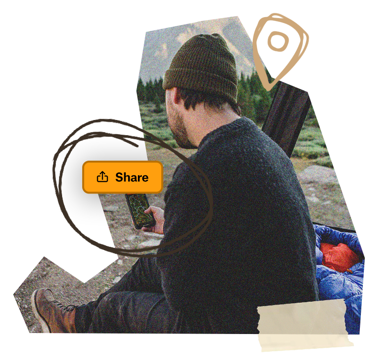
Download the Baja Expedition trip Folder to save it right to your onX Offroad App and share it with friends. You’ll have all the information you need to prepare and safely execute the Route, including Photo Waypoints that mark suggested campsites, crossings, trail obstacles, fuel stations, meet-up points, and more for this south-of-the-border adventure.