Worland Basin
Total Miles
0.3
Technical Rating
Best Time
Summer
Trail Type
Full-Width Road
Accessible By
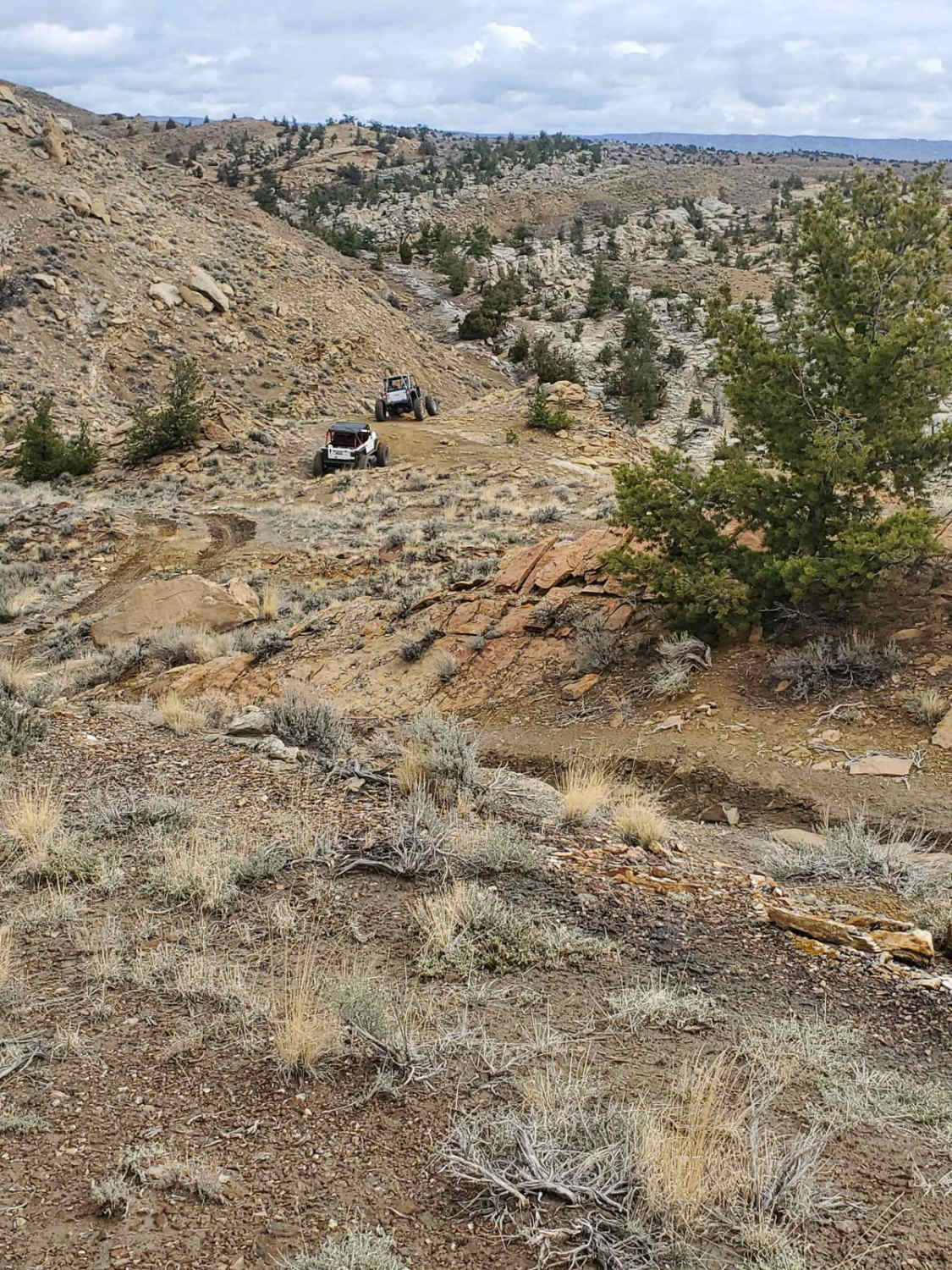
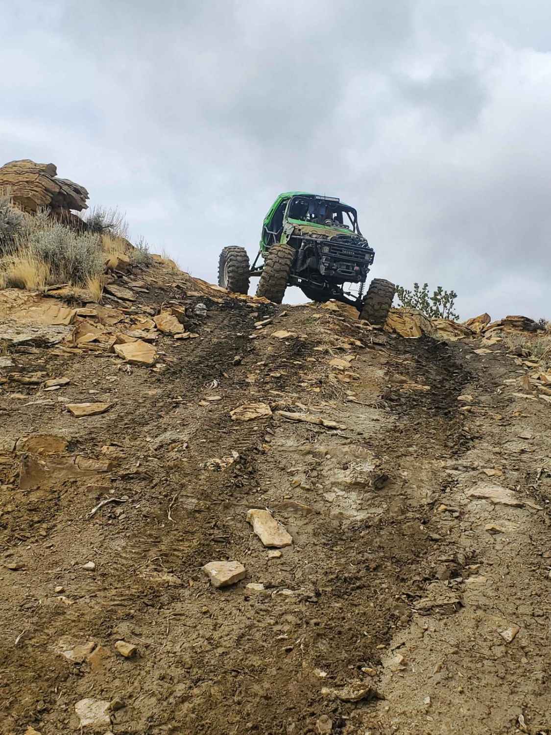
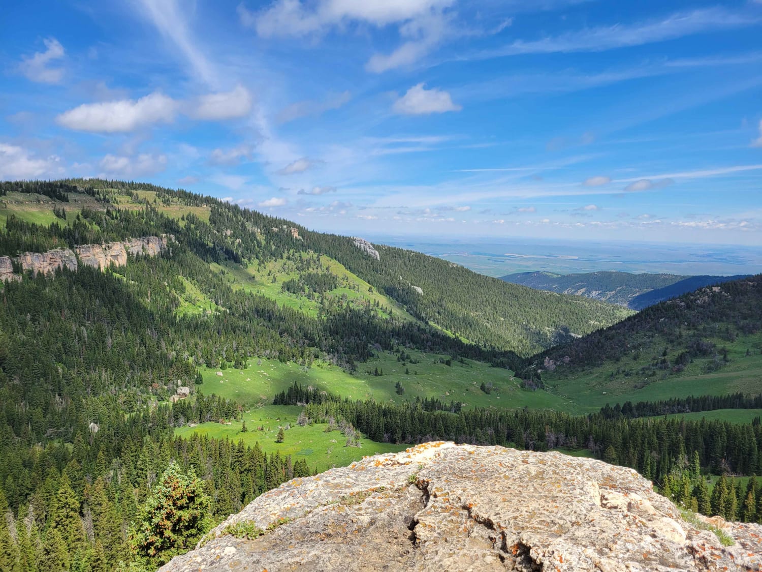
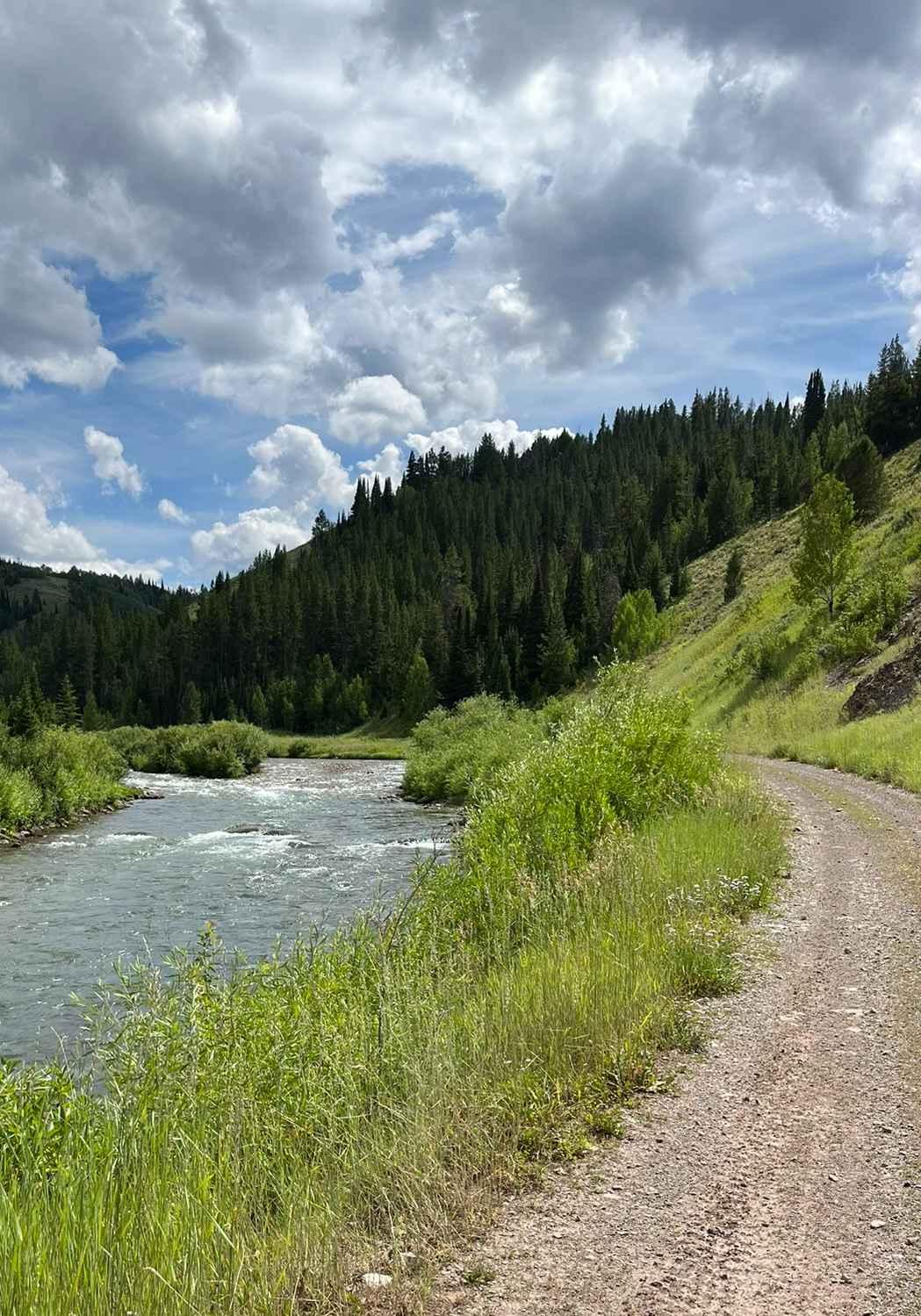
Trail Overview
This trail starts from the top of the hill and drops down a long, steep downhill dirt path. Upon reaching the bottom of the hill, you will traverse a deep washout in the trail and continue toward the grey rock cliffs. The trail follows along the base of the grey cliffs through a loose boulder field before passing through a narrow gap in the cliffs with three large boulders. Once through this gap, you will travel along a dirt path toward the next, much more challenging trail.
Photos of Worland Basin
Difficulty
The steep decent at the start of the trail can be quite intimidating and the boulder field requires a cautious approach. However the trail can be completed in a vehicle with one traction device.
Status Reports
Worland Basin can be accessed by the following ride types:
- High-Clearance 4x4
- SUV
- SxS (60")
Worland Basin Map
Popular Trails
Cundick Ridge Road
Fools Creek Trails
Lower Cabin Creek
The onX Offroad Difference
onX Offroad combines trail photos, descriptions, difficulty ratings, width restrictions, seasonality, and more in a user-friendly interface. Available on all devices, with offline access and full compatibility with CarPlay and Android Auto. Discover what you’re missing today!