Picnic Area Trail
Total Miles
1.1
Technical Rating
Best Time
Summer, Fall
Trail Type
Full-Width Road
Accessible By
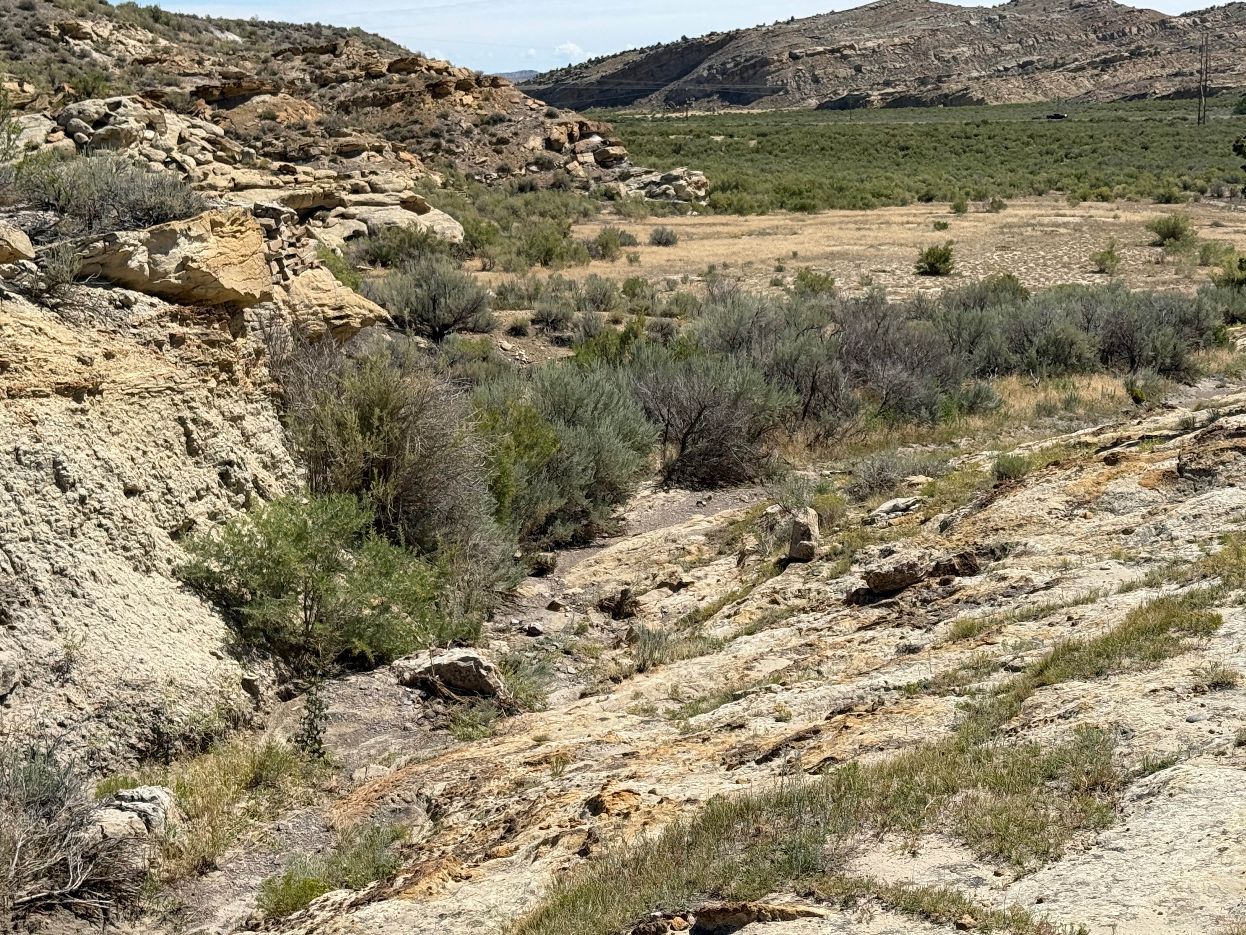
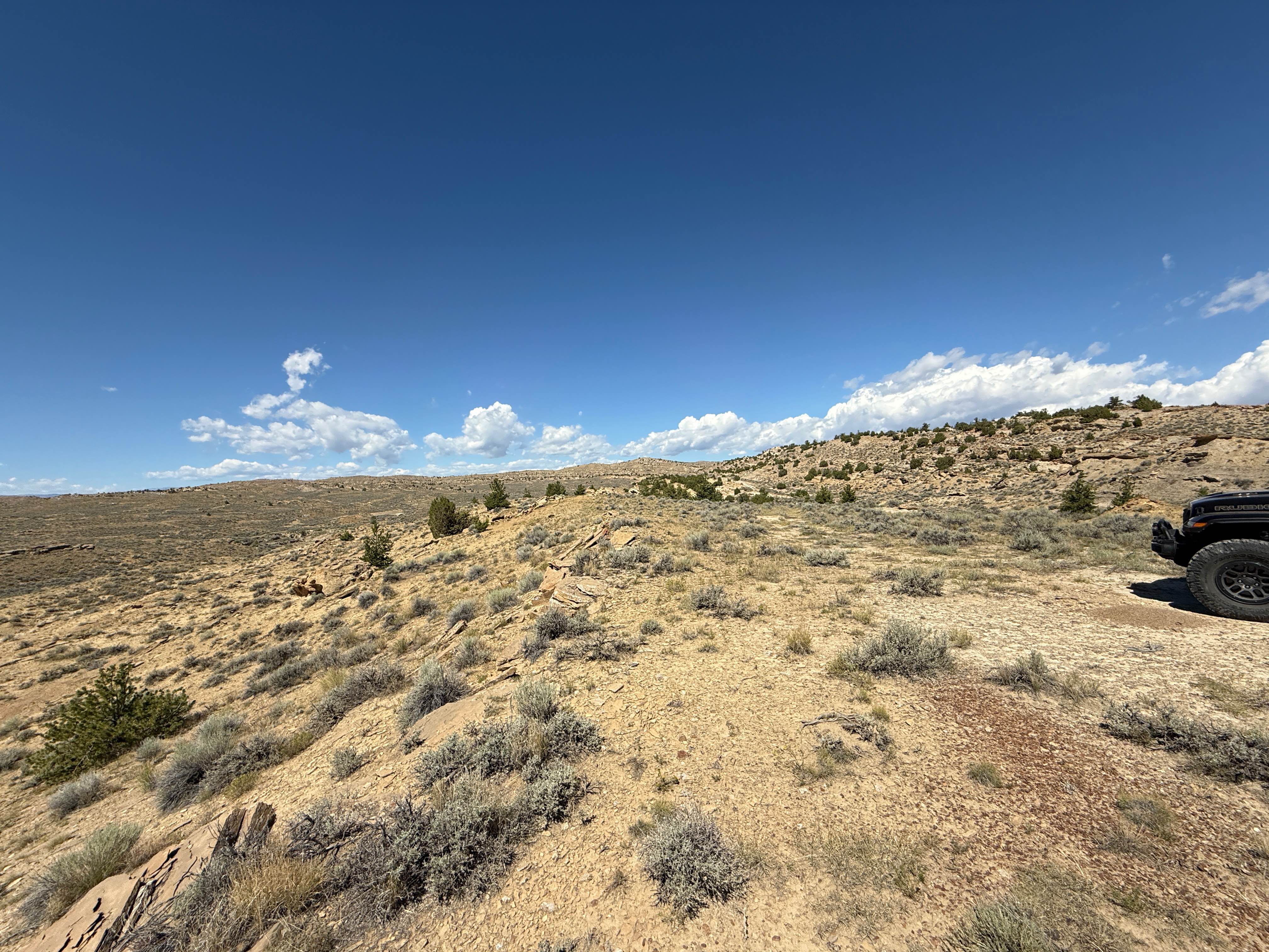
Trail Overview
Picnic Area Trail links the Side By Side Trail with the Lower Road. The route includes some travel through sagebrush flats, some rocky sections, and a large rock-studded gulch that must be traversed. It has a couple of tricky rocky sections and a couple of washes that must be managed.
Photos of Picnic Area Trail
Difficulty
Picnic Area has some challenging sections of rocks and ledges.
Status Reports
Picnic Area Trail can be accessed by the following ride types:
- High-Clearance 4x4
- SUV
- SxS (60")
- ATV (50")
- Dirt Bike
Picnic Area Trail Map
Popular Trails
USFS Road 307 - Centennial Ridge

Granite Creek

Torchlight Road
The onX Offroad Difference
onX Offroad combines trail photos, descriptions, difficulty ratings, width restrictions, seasonality, and more in a user-friendly interface. Available on all devices, with offline access and full compatibility with CarPlay and Android Auto. Discover what you’re missing today!