Big Munger
Total Miles
8.7
Technical Rating
Best Time
Summer
Trail Type
Single Track
Accessible By
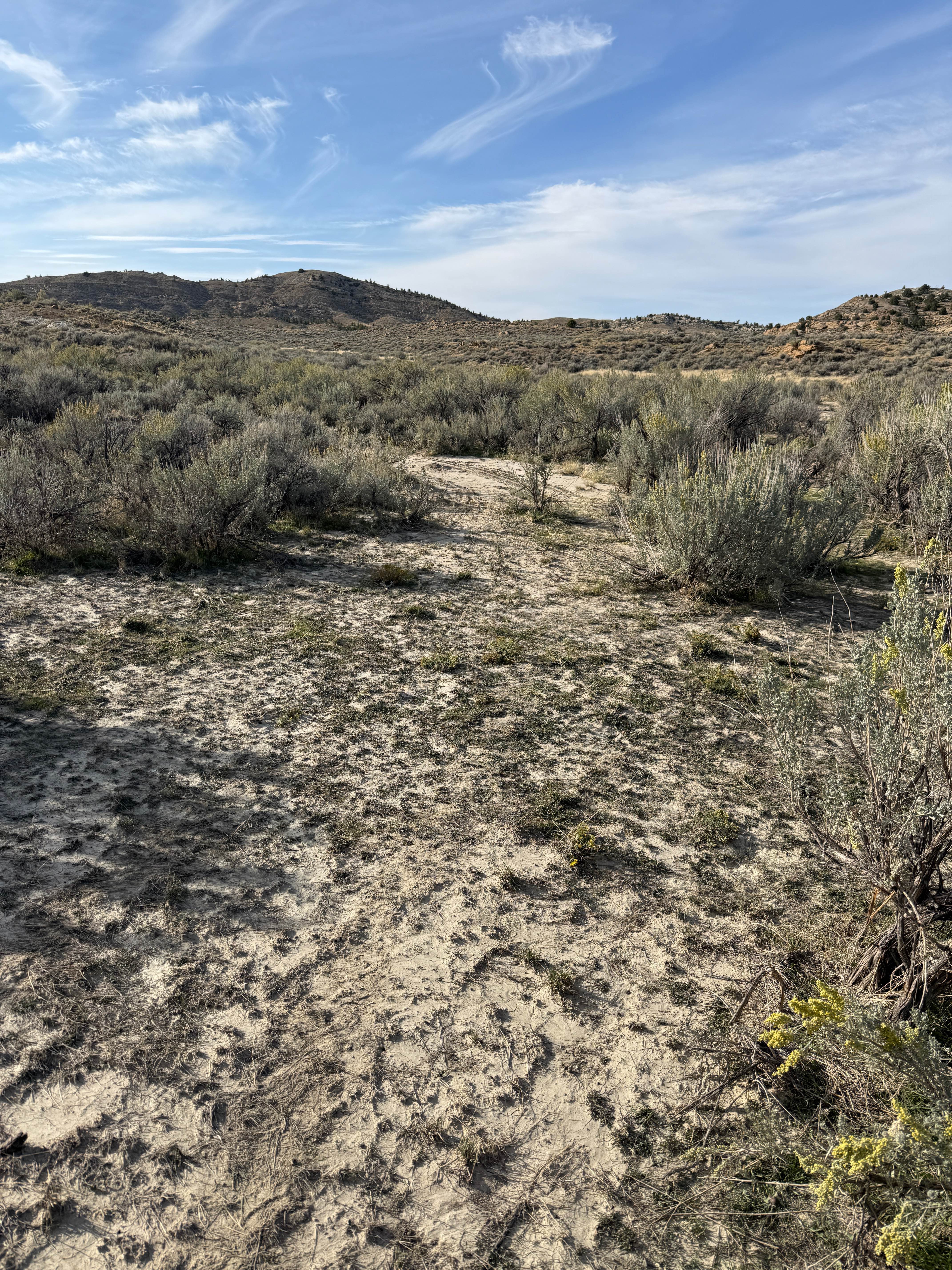
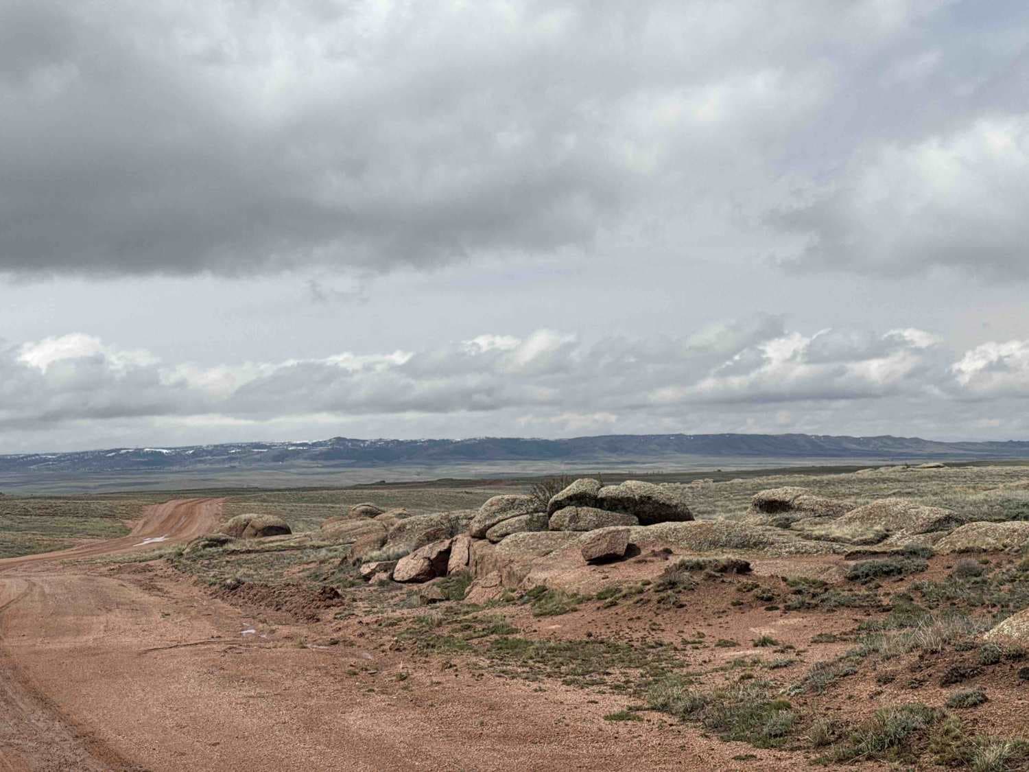
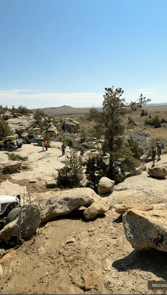
Trail Overview
Big Munger is an 8.9-mile-long trail that begins on the north end at its intersection with Tusky Ridge and loops back to the main staging area. As the longest route in the Munger trail system, it offers a wide variety of terrain and consistently scenic riding, and is also popular with mountain bikers, so watch for oncoming traffic and share the trail. The trail features expansive views of the Bridger-Teton Range and the river valley below, with flowy stretches through meadows and along ridgelines. The trail surface is generally mellow, but riders will encounter a few steeper climbs with loose rock, and some low-consequence side-hilling with mild exposure. The first half is a steady ascent of about 2000 feet, followed by a steady descent of about the same grade. There are fast, straight ridgeline segments, and sections with more embedded rock that make it a bit more technical than the rest of the trails in the system. Overall, it's a well-traveled route with a variety of climbs, descents, narrow segments, and a bit of rock.
Photos of Big Munger


Difficulty
This is an intermediate trail due to its length, sustained elevation gain, and sections with loose or embedded rock. The mild side-hilling and steeper climbs contribute to a moderate overall difficulty.
Status Reports
Big Munger can be accessed by the following ride types:
- Dirt Bike
Big Munger Map
Popular Trails

The onX Offroad Difference
onX Offroad combines trail photos, descriptions, difficulty ratings, width restrictions, seasonality, and more in a user-friendly interface. Available on all devices, with offline access and full compatibility with CarPlay and Android Auto. Discover what you’re missing today!