W97
Total Miles
2.9
Technical Rating
Best Time
Spring, Fall, Summer, Winter
Trail Type
60" Trail
Accessible By
Trail Overview
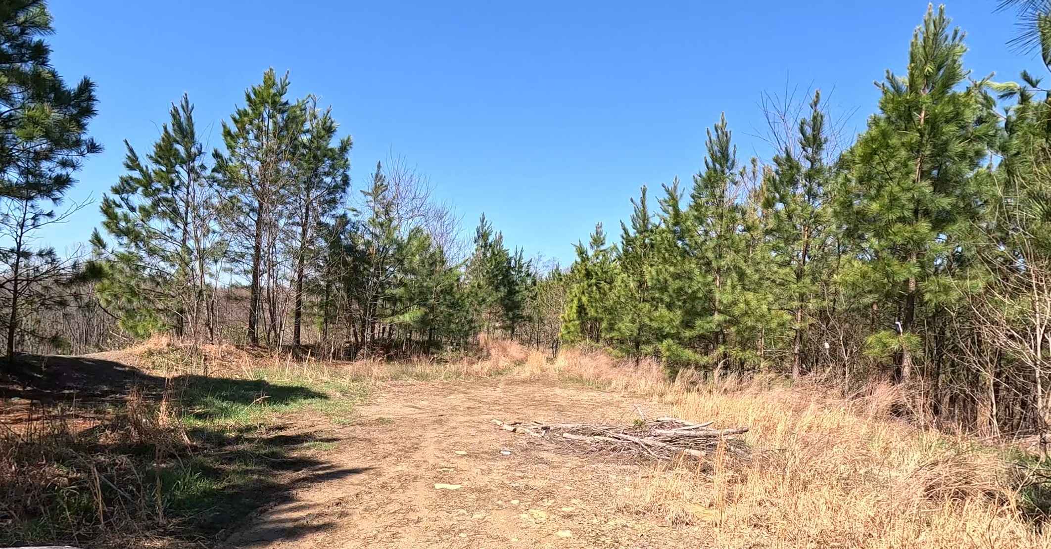
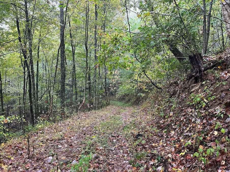
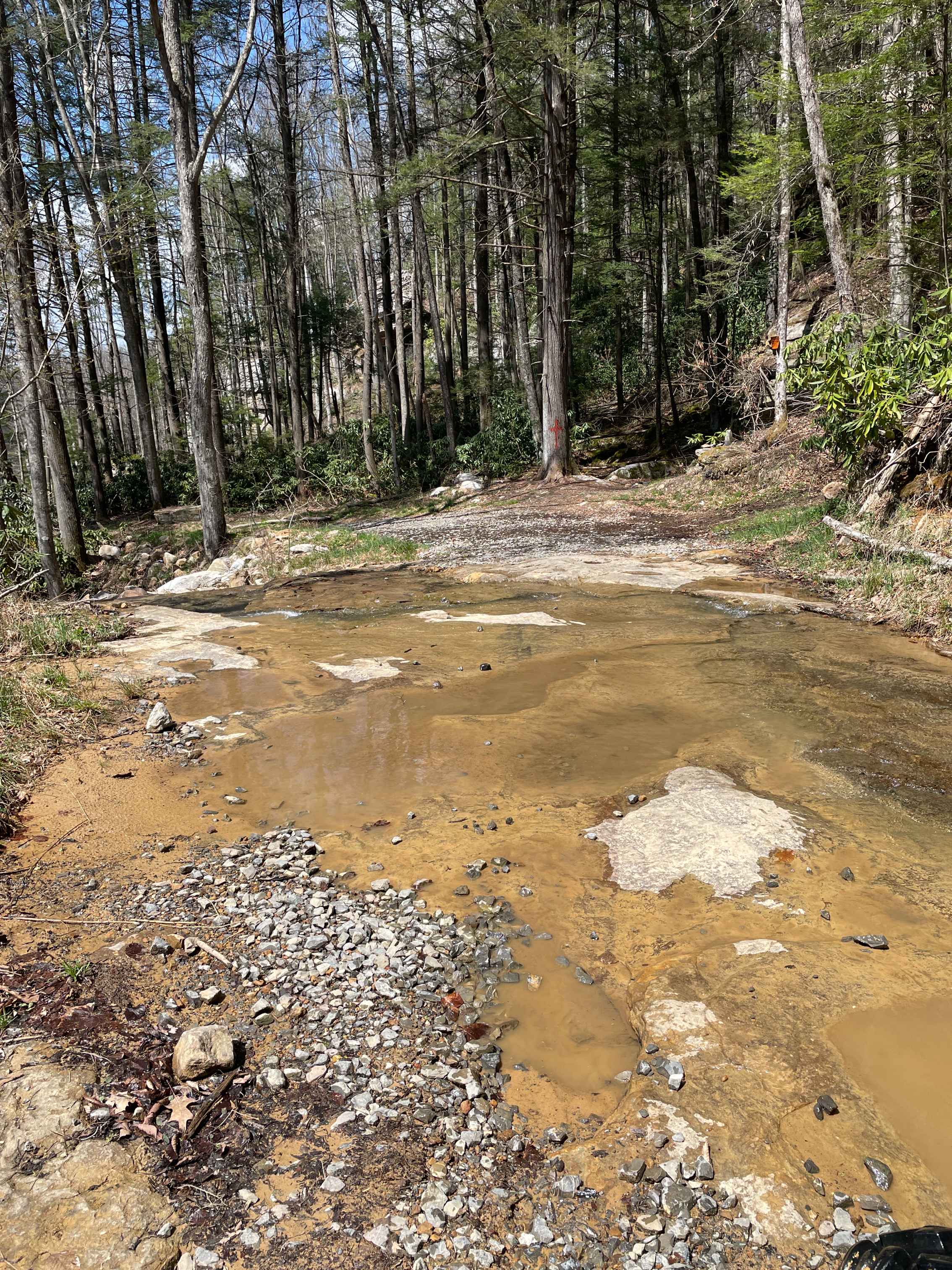
Trail W97 is a highly technical route that begins with a steep, rutted climb from Trail W16 before crossing under powerlines and transitioning into a sustained, very advanced descent. The trail narrows significantly and appears less traveled, with grass growing in the center. The descent features multiple steep sections with a series of 1-3 3-foot drop-offs formed by embedded rock ledges, loose dirt, and scattered rock, making traction critical. Toward the bottom, the trail levels out and joins a wide, smooth road that reconnects with W16. As an Extreme Trail in the Hatfield McCoy system, this trail is restricted to riders 18 and older, requires 4WD, and prohibits engines under 200cc.
Photos of W97


Difficulty
This is a very advanced route with technical rock obstacles on an extremely steep slope. Note that this is considered Extreme by Hatfield McCoy's Rating System. Note that the advanced section ends when the trail turns northeast again to return to W16. The last half mile of trail is easy road.
Status Reports
W97 can be accessed by the following ride types:
- SxS (60")
- ATV (50")
- Dirt Bike
W97 Map
Popular Trails

Meadow/Gauley Access Trail
The onX Offroad Difference
onX Offroad combines trail photos, descriptions, difficulty ratings, width restrictions, seasonality, and more in a user-friendly interface. Available on all devices, with offline access and full compatibility with CarPlay and Android Auto. Discover what you’re missing today!