W44
Total Miles
3.7
Technical Rating
Best Time
Spring, Fall, Summer, Winter
Trail Type
60" Trail
Accessible By
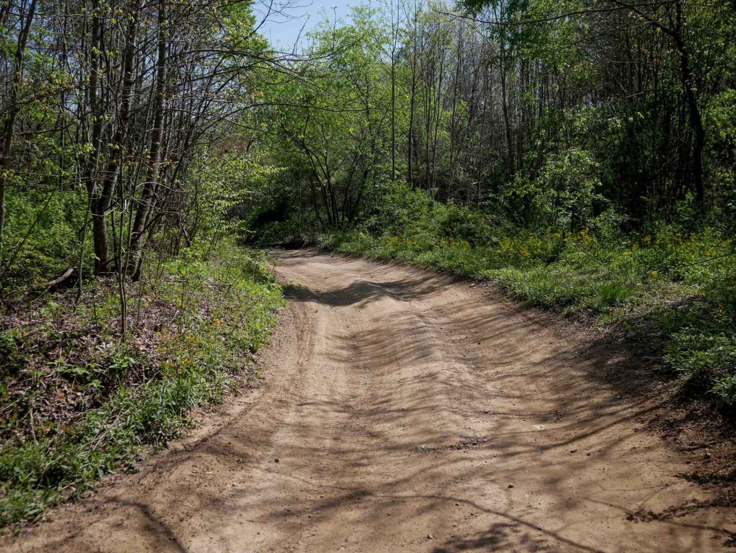
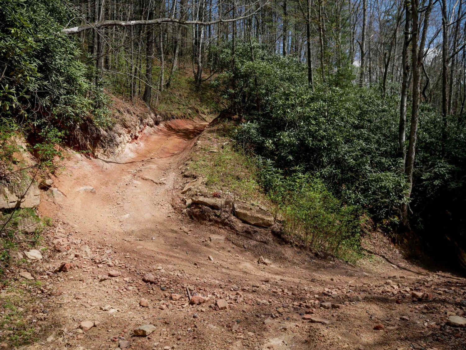
Trail Overview
Trail W44 is a wide, well-maintained route that runs 3.7 miles along the mountainside with a smooth, gradual descent from south to north. The trail features minor embedded rocks, gentle hairpin turns, and follows a ridge line for part of its length. It is an easy traverse suitable for all skill levels and serves as a convenient connector within the Warrior Trail System, bringing riders closer to the town of Welch when traveling northbound.
Photos of W44


Difficulty
This is an easy SxS route with gradual grades and hairpin turns, manageable for all skill levels.
Status Reports
W44 can be accessed by the following ride types:
- SxS (60")
- ATV (50")
- Dirt Bike
W44 Map
Popular Trails


The onX Offroad Difference
onX Offroad combines trail photos, descriptions, difficulty ratings, width restrictions, seasonality, and more in a user-friendly interface. Available on all devices, with offline access and full compatibility with CarPlay and Android Auto. Discover what you’re missing today!