W17
Total Miles
2.2
Technical Rating
Best Time
Spring, Fall, Summer
Trail Type
60" Trail
Accessible By
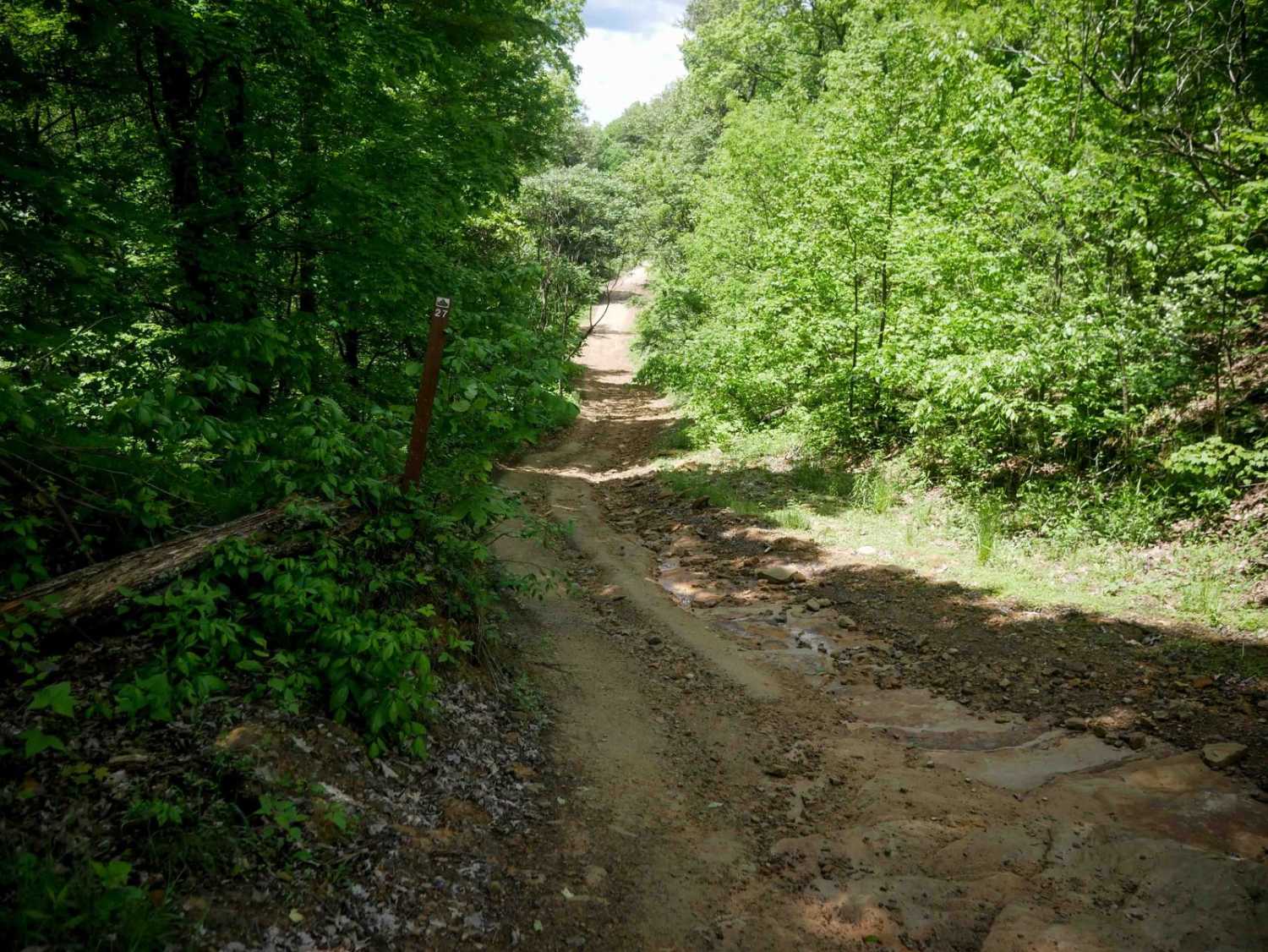
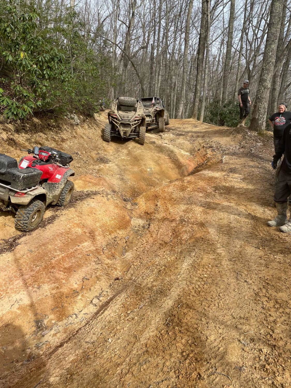
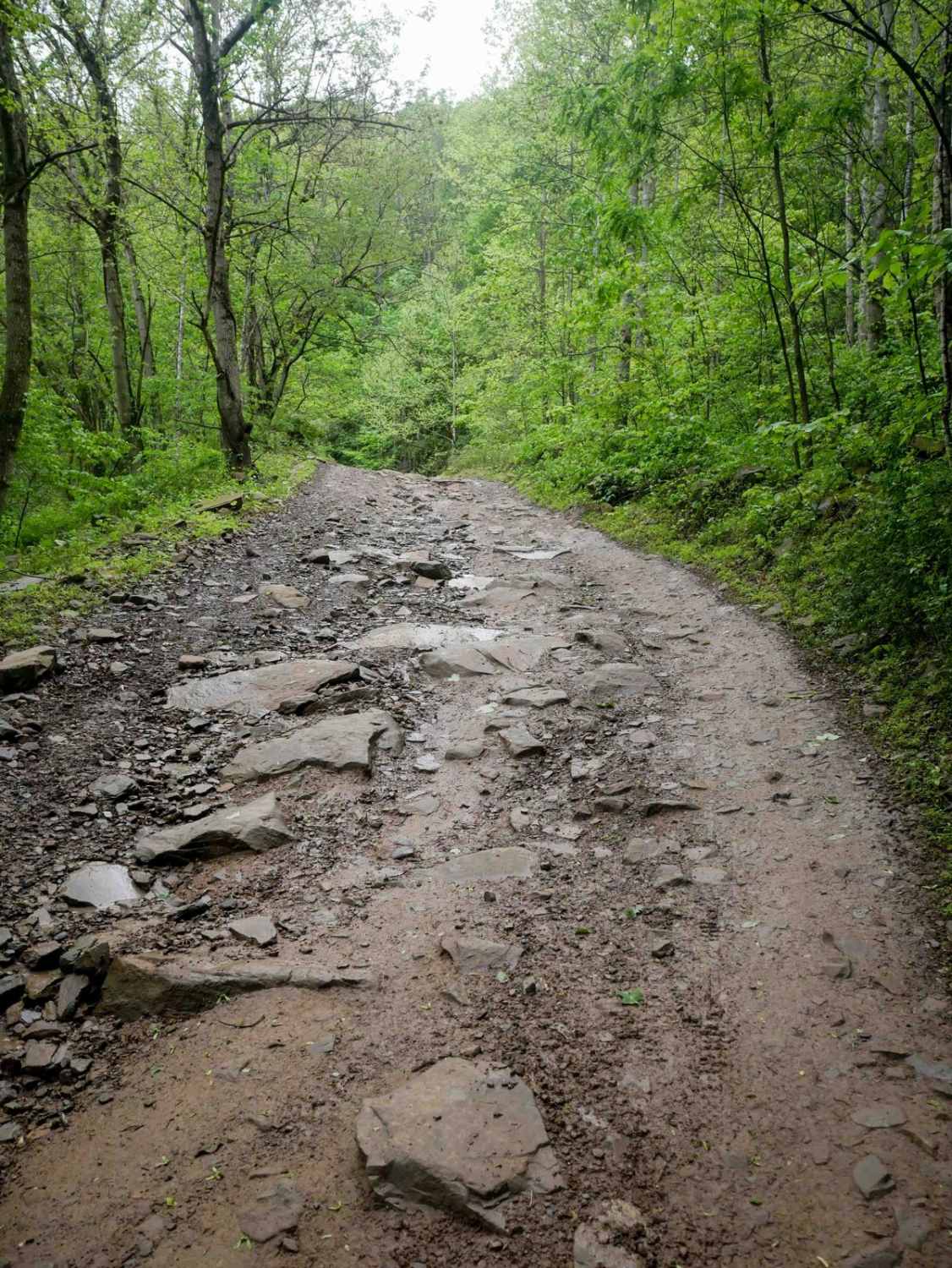
Trail Overview
Trail W17 is a wide, smooth route that winds between leafy trees with minimal embedded rock, offering an easy and scenic ride. The trail passes alongside striking rock walls and cliffs, adding visual interest. Visibility is excellent throughout, and the width allows for comfortable two-way travel along most of the trail. It ends at a large intersection with Trails 16 and 97.
Photos of W17


Difficulty
This is an easy access route within the Warrior Trail System, ideal for riders of all skill levels.
Status Reports
W17 can be accessed by the following ride types:
- SxS (60")
- ATV (50")
- Dirt Bike
W17 Map
Popular Trails
Belcher Ridge Run

The onX Offroad Difference
onX Offroad combines trail photos, descriptions, difficulty ratings, width restrictions, seasonality, and more in a user-friendly interface. Available on all devices, with offline access and full compatibility with CarPlay and Android Auto. Discover what you’re missing today!