RH 41
Total Miles
3.5
Technical Rating
Best Time
Spring, Fall, Summer, Winter
Trail Type
60" Trail
Accessible By
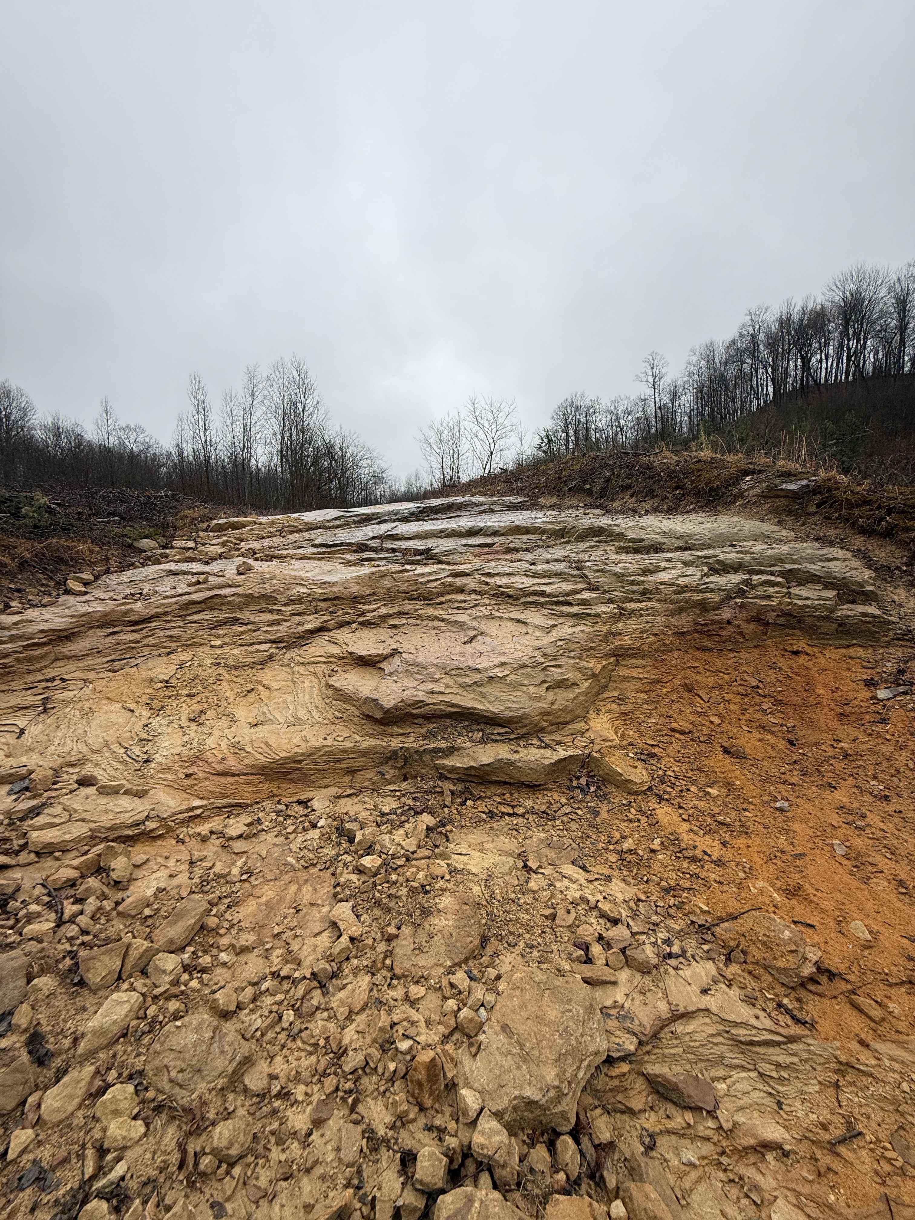
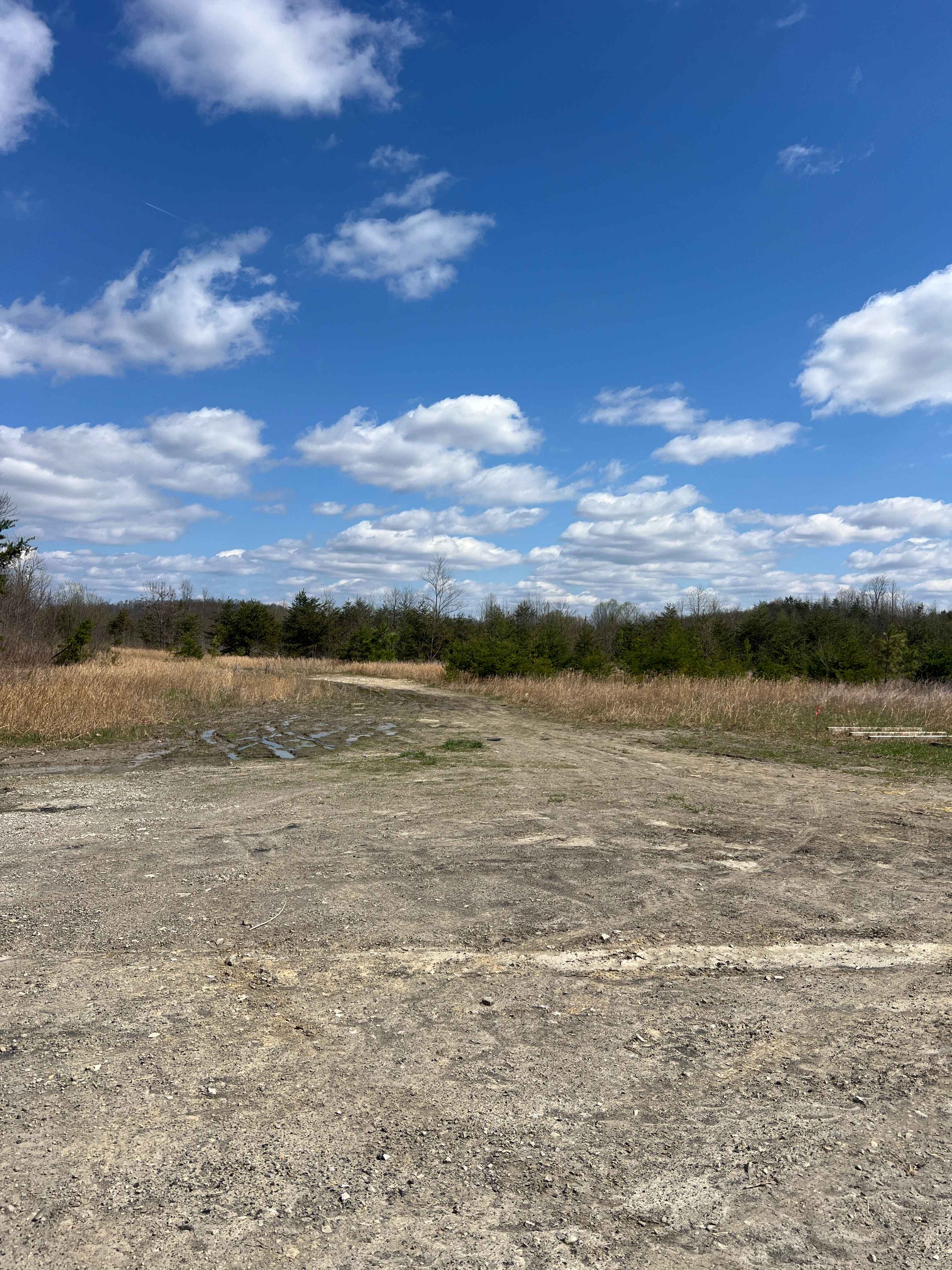
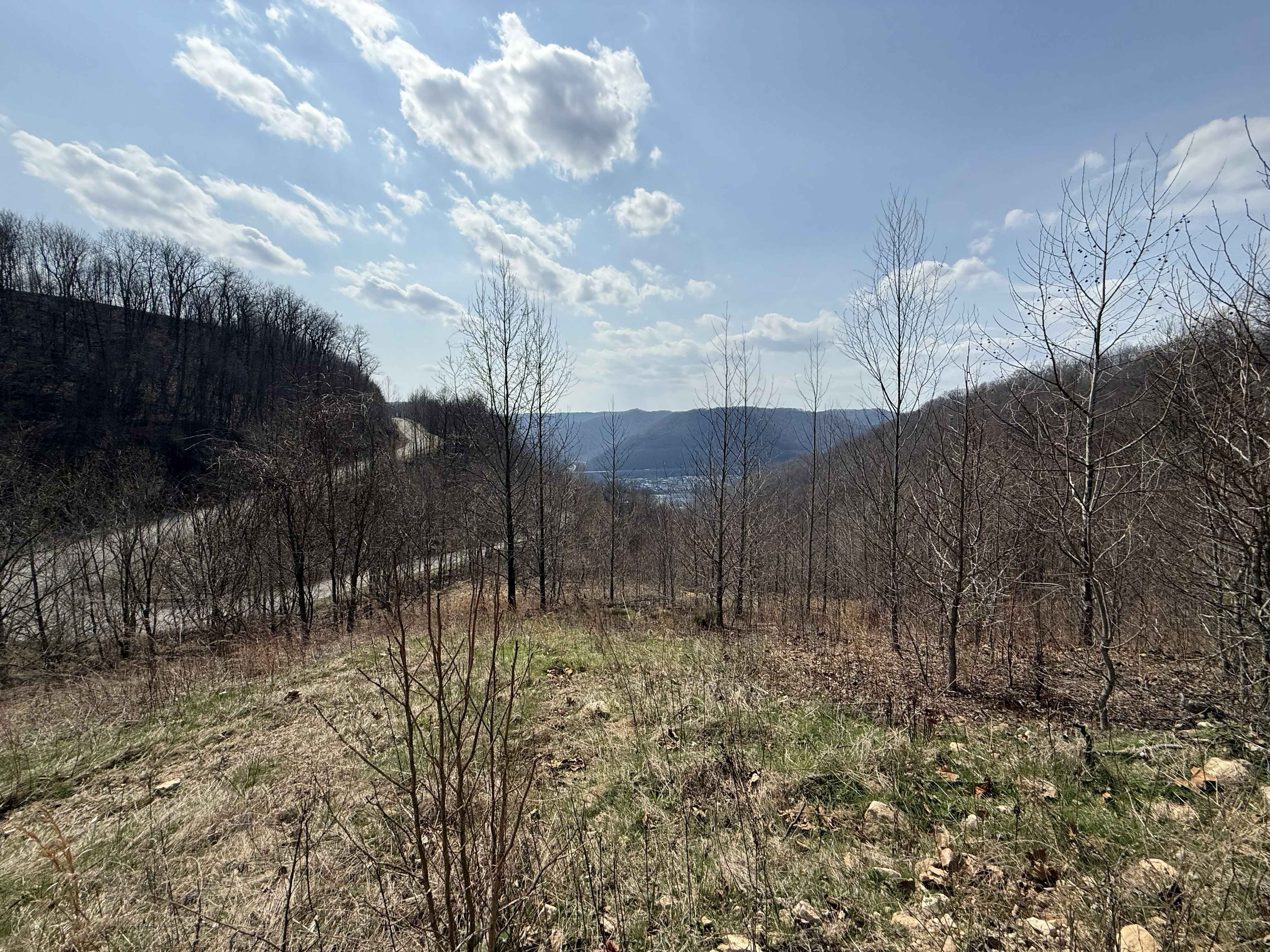
Trail Overview
RH 41 is a 3.6-mile wide, shelfy connector trail running west from the Rock House system to Highway 44. It features shallow ruts, minor loose rock (mostly cleared to the sides), smooth surfaces, and gradual corners with good visibility throughout. This easy route serves as a reliable transfer trail between systems, with the option to loop back via RH 42 or cross the highway into the Devil Anse system.
Photos of RH 41


Difficulty
This is an easy SxS route with some steep spots and loose rock, but is overall ideal for all skill levels. Note that this is considered More Difficult by Hatfield McCoy's rating system.
Status Reports
RH 41 can be accessed by the following ride types:
- SxS (60")
- ATV (50")
- Dirt Bike
RH 41 Map
Popular Trails

The onX Offroad Difference
onX Offroad combines trail photos, descriptions, difficulty ratings, width restrictions, seasonality, and more in a user-friendly interface. Available on all devices, with offline access and full compatibility with CarPlay and Android Auto. Discover what you’re missing today!