Q22
Total Miles
0.1
Technical Rating
Best Time
Spring, Summer, Fall, Winter
Trail Type
Full-Width Road
Accessible By
Trail Overview
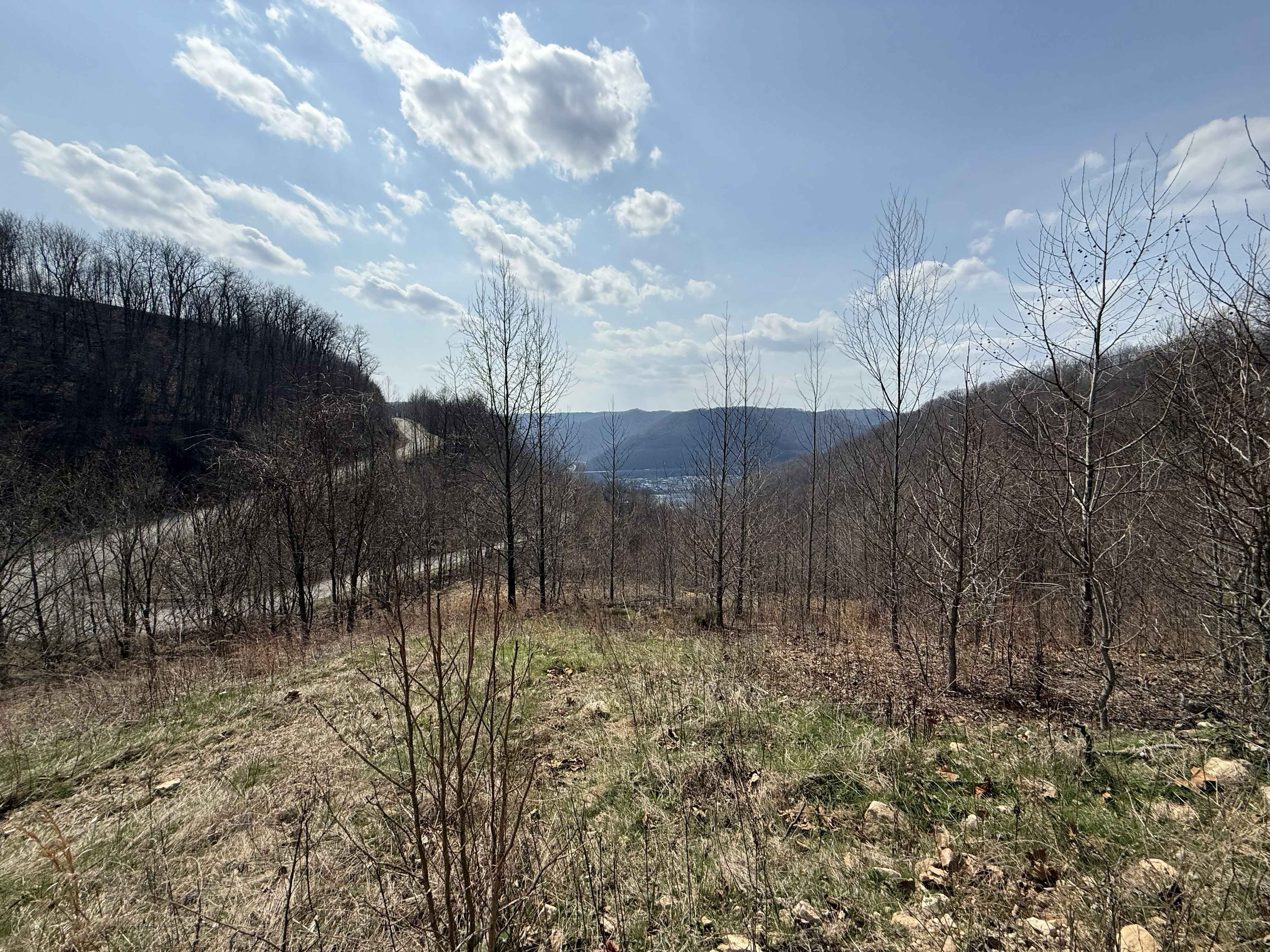
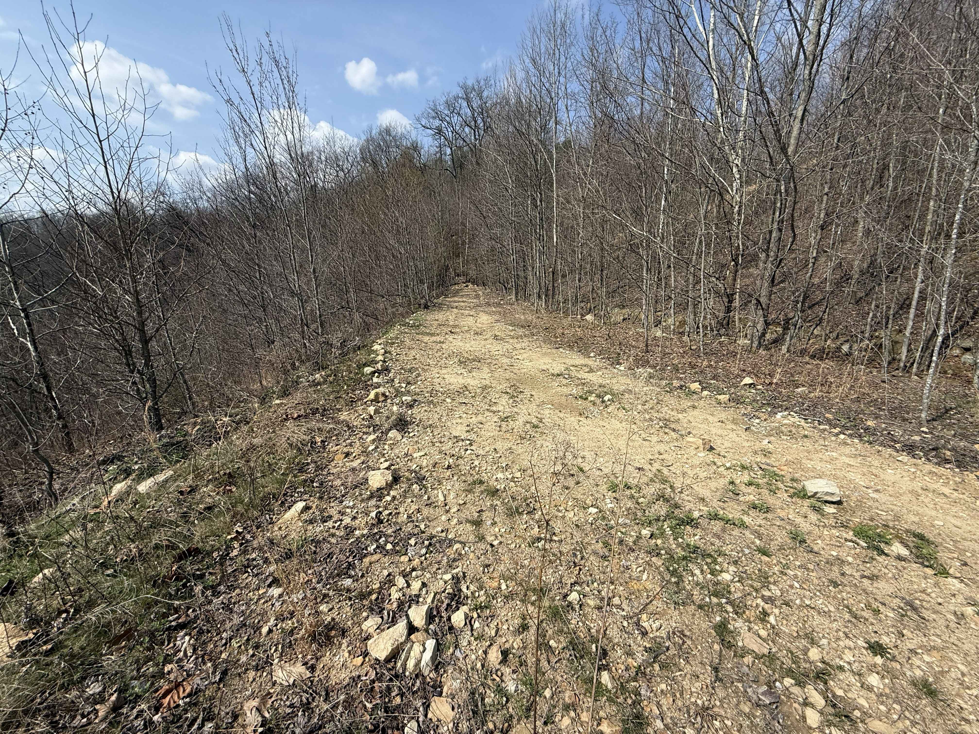
Q22 is a blue-rated connector trail linking Q5 to the lower section of the Q23 hill climb and the Q31 trail. This route provides an intermediate option for explorers looking to progress to semi-technical terrain without committing to the black-rated Q23. This does have a descent with loose dirt and gravel, and could become challenging depending on weather changes. The trail also provides a great view of the lower valley and Kanawha River.
Photos of Q22
Difficulty
Mixed terrain with gentle to moderate grades. Suitable for most 4WD and high-clearance vehicles. Requires basic line awareness and throttle control. Trail conditions are generally stable, though dirt sections may become softer or slightly slick after rain. Minor ruts or uneven areas may be present depending on use and weather.
Status Reports
Q22 can be accessed by the following ride types:
- High-Clearance 4x4
- SUV
- SxS (60")
- ATV (50")
- Dirt Bike
Q22 Map
Popular Trails
Little River Connector


Lucas Road to Meadow River
The onX Offroad Difference
onX Offroad combines trail photos, descriptions, difficulty ratings, width restrictions, seasonality, and more in a user-friendly interface. Available on all devices, with offline access and full compatibility with CarPlay and Android Auto. Discover what you’re missing today!