PC 11
Total Miles
6.1
Technical Rating
Best Time
Spring, Fall, Summer, Winter
Trail Type
60" Trail
Accessible By
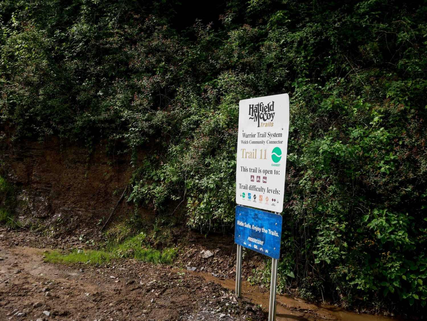
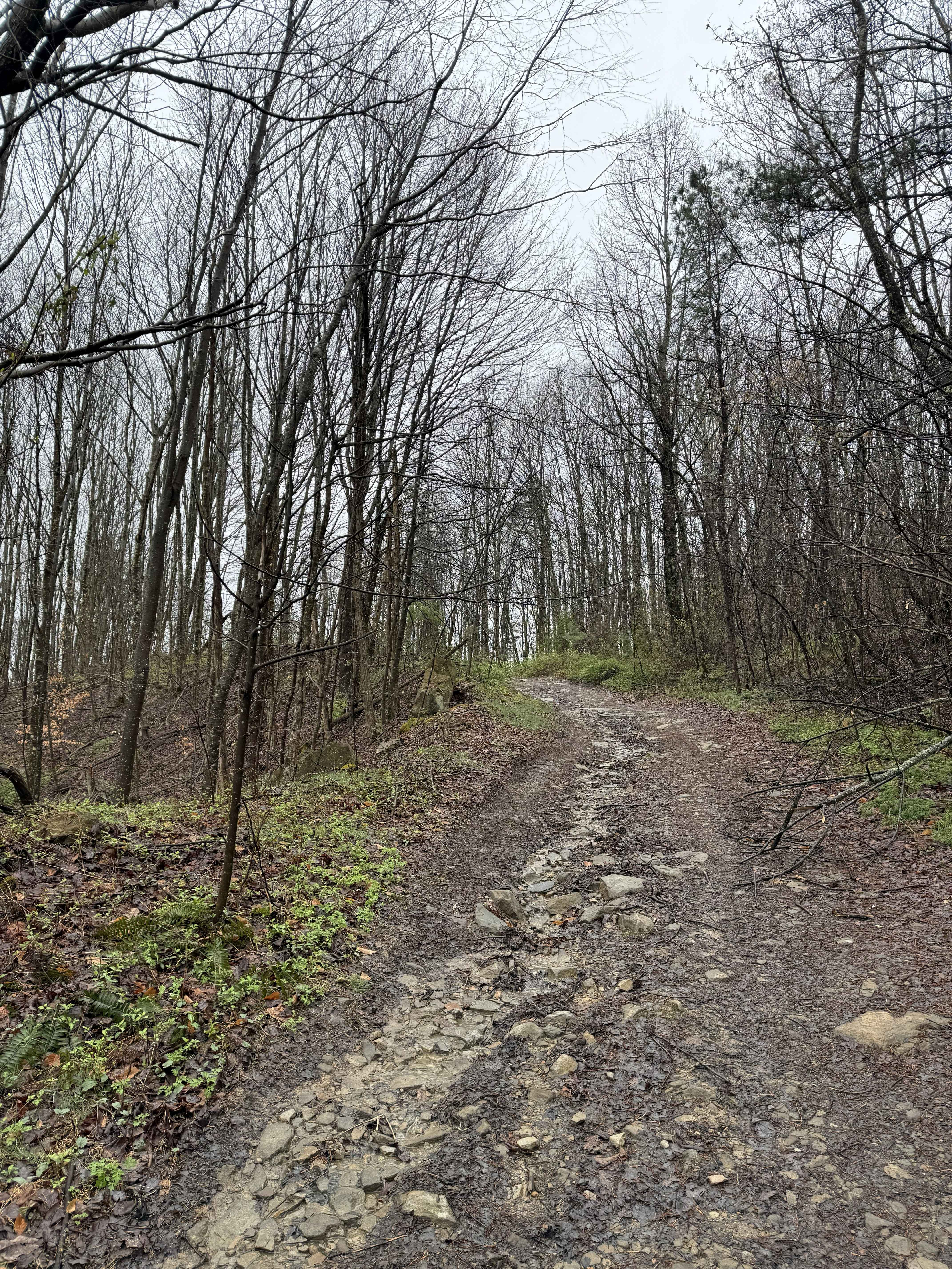
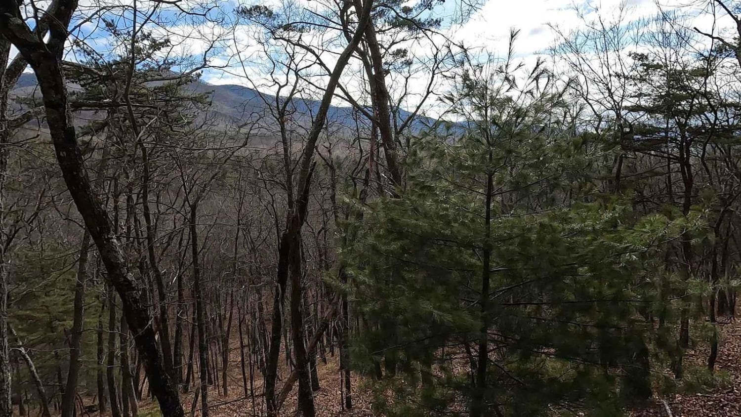
Trail Overview
PC 11 serves as a main access route from the northeast end of the trail system, as a community connector to the town of Mullens for food, fuel, and lodging (via the approved OHV highway). The trail features a mix of wide open segments and narrower, shelfy sections. It offers a mostly smooth path with occasional dark, coal-like dirt, embedded and loose rock, cut logs, and stick debris, all set within a lush forest. The trail provides nice shade coverage and passes through several well-marked intersections. It narrows in spots along the hillside and includes some gradual switchbacks. The ascent is mostly gradual, with low branches along the way, leading up to the intersection with PC 10.
Photos of PC 11


Difficulty
This is an easy SxS route with minor rock, deep ruts, and easy switchbacks, ideal for most average skill levels.
Status Reports
PC 11 can be accessed by the following ride types:
- SxS (60")
- ATV (50")
- Dirt Bike
PC 11 Map
Popular Trails

189 Single Track
Stoney Run
The onX Offroad Difference
onX Offroad combines trail photos, descriptions, difficulty ratings, width restrictions, seasonality, and more in a user-friendly interface. Available on all devices, with offline access and full compatibility with CarPlay and Android Auto. Discover what you’re missing today!