RH 34
Total Miles
1.5
Technical Rating
Best Time
Spring, Fall, Summer, Winter
Trail Type
60" Trail
Accessible By
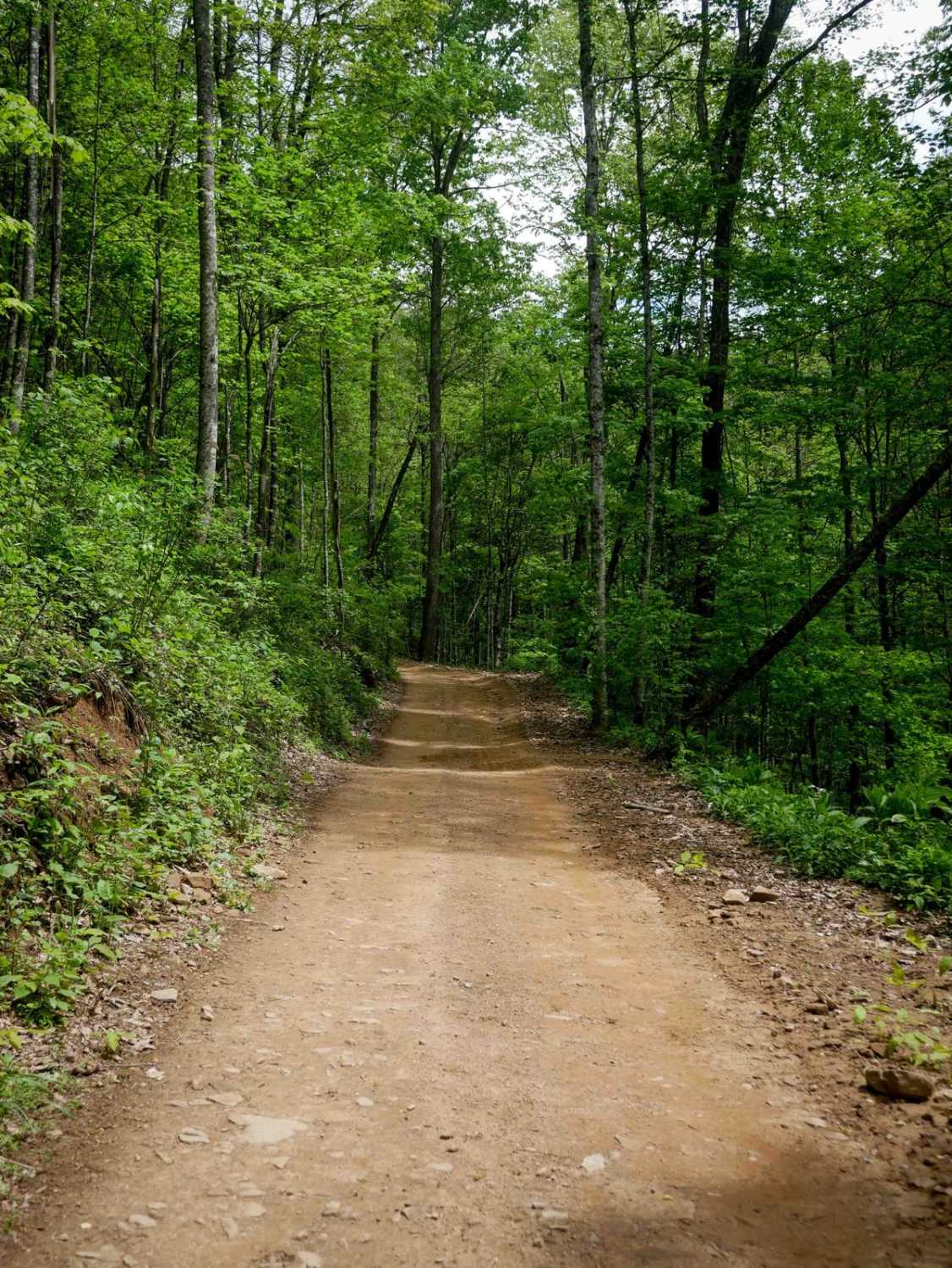
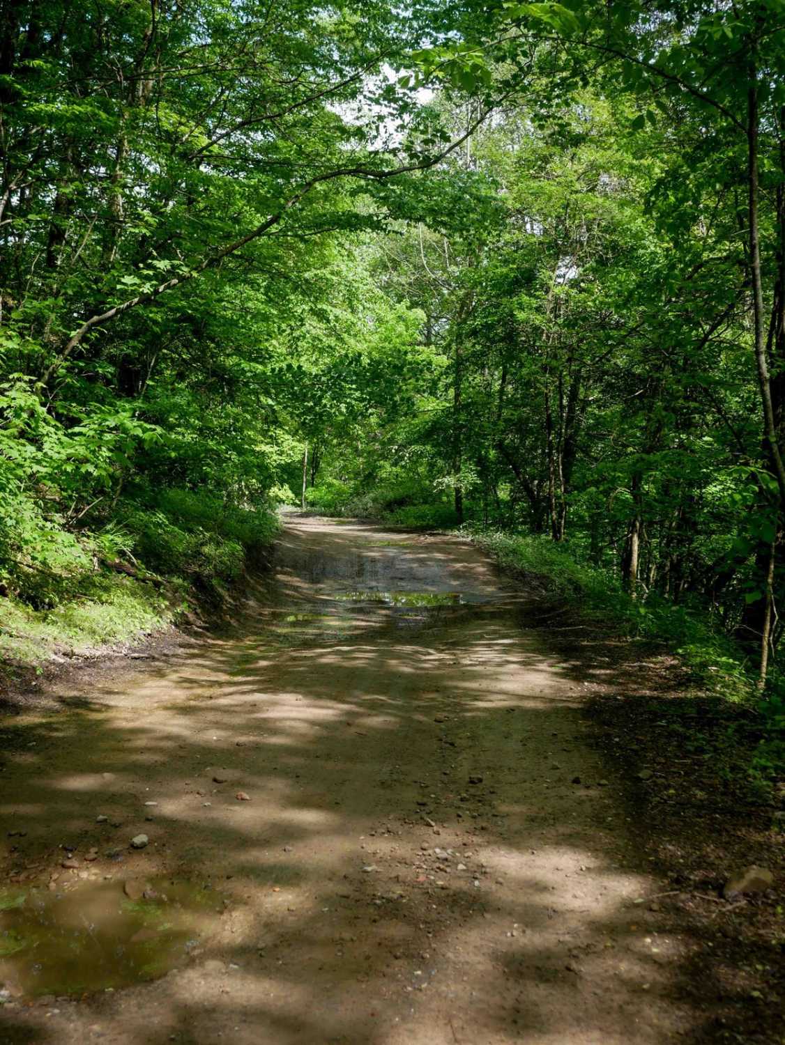
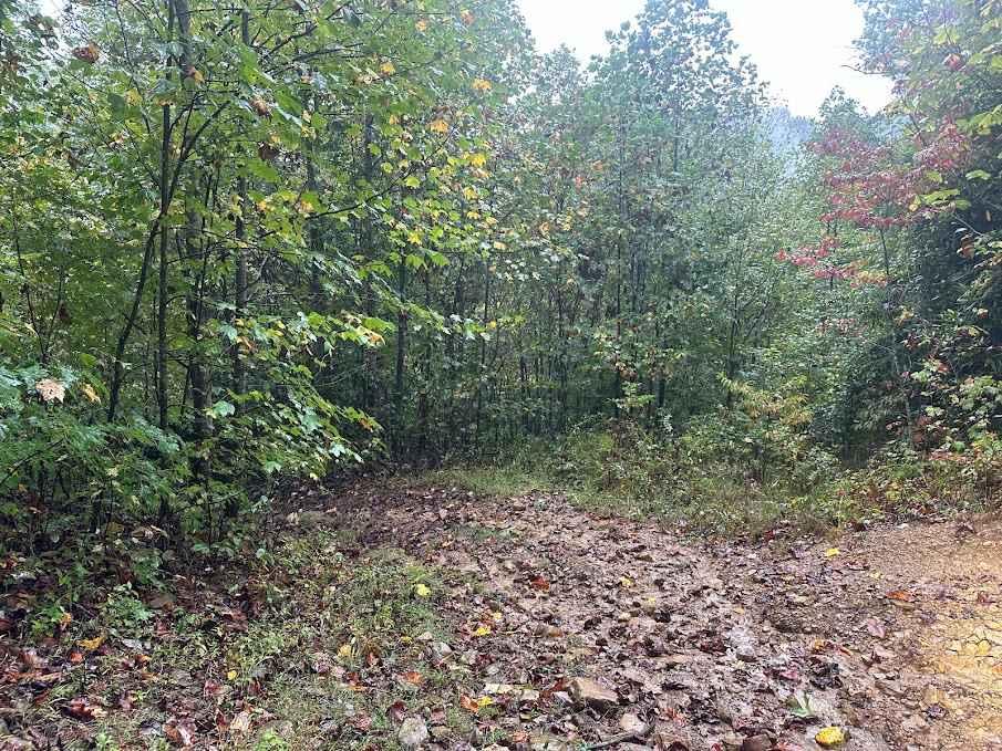
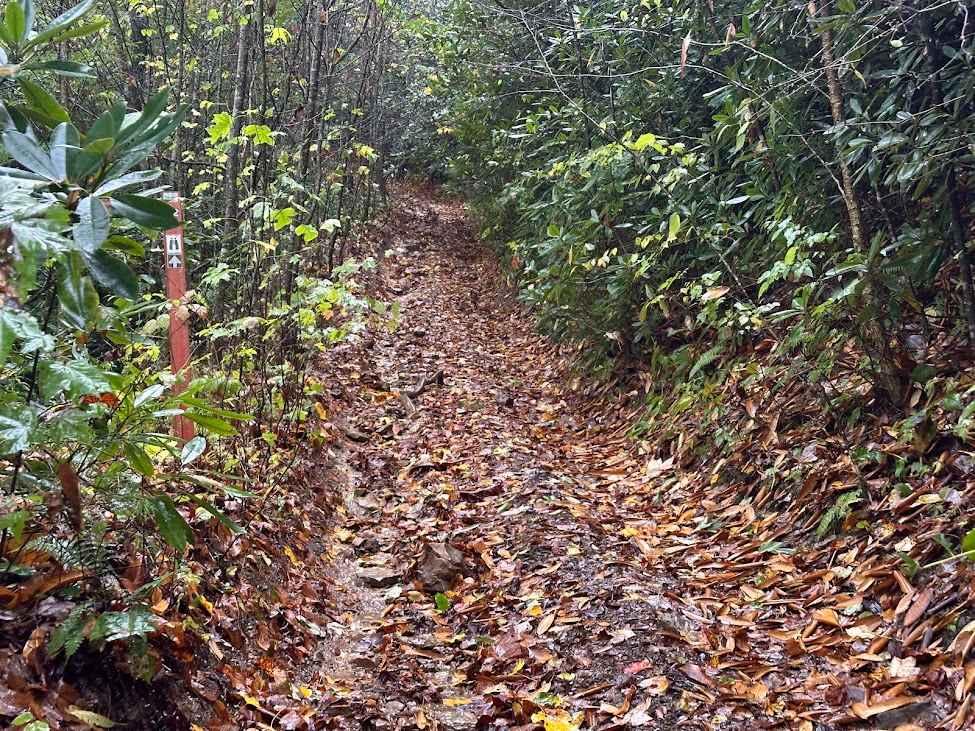
Trail Overview
RH 34 is a 1.6-mile north-to-south connector trail that curves along a shelfy hillside with gradual switchbacks, shallow ruts, and occasional loose rock. The trail features a moderately steep climb when ridden south to north, winding through leafy birch trees and passing scenic rock walls. It remains easy throughout with no particularly difficult features.
Photos of RH 34
Difficulty
This is an easy SxS route with some steep spots and loose rock, but it is overall ideal for all skill levels.
Status Reports
RH 34 can be accessed by the following ride types:
- SxS (60")
- ATV (50")
- Dirt Bike
RH 34 Map
Popular Trails

81 Black - A

The onX Offroad Difference
onX Offroad combines trail photos, descriptions, difficulty ratings, width restrictions, seasonality, and more in a user-friendly interface. Available on all devices, with offline access and full compatibility with CarPlay and Android Auto. Discover what you’re missing today!