B43
Total Miles
1.3
Technical Rating
Best Time
Fall, Spring, Summer, Winter
Trail Type
High-Clearance 4x4 Trail
Accessible By
Trail Overview
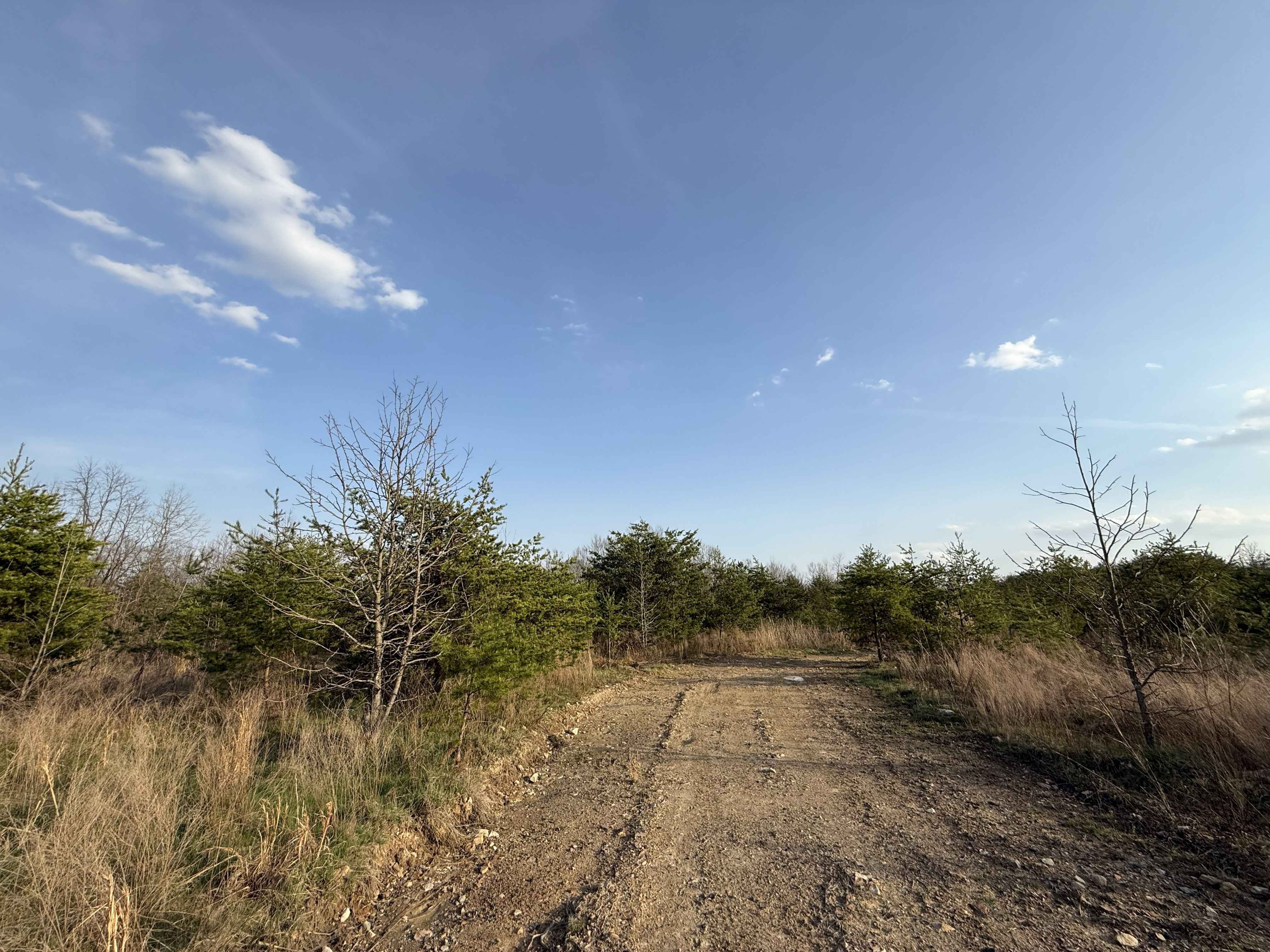
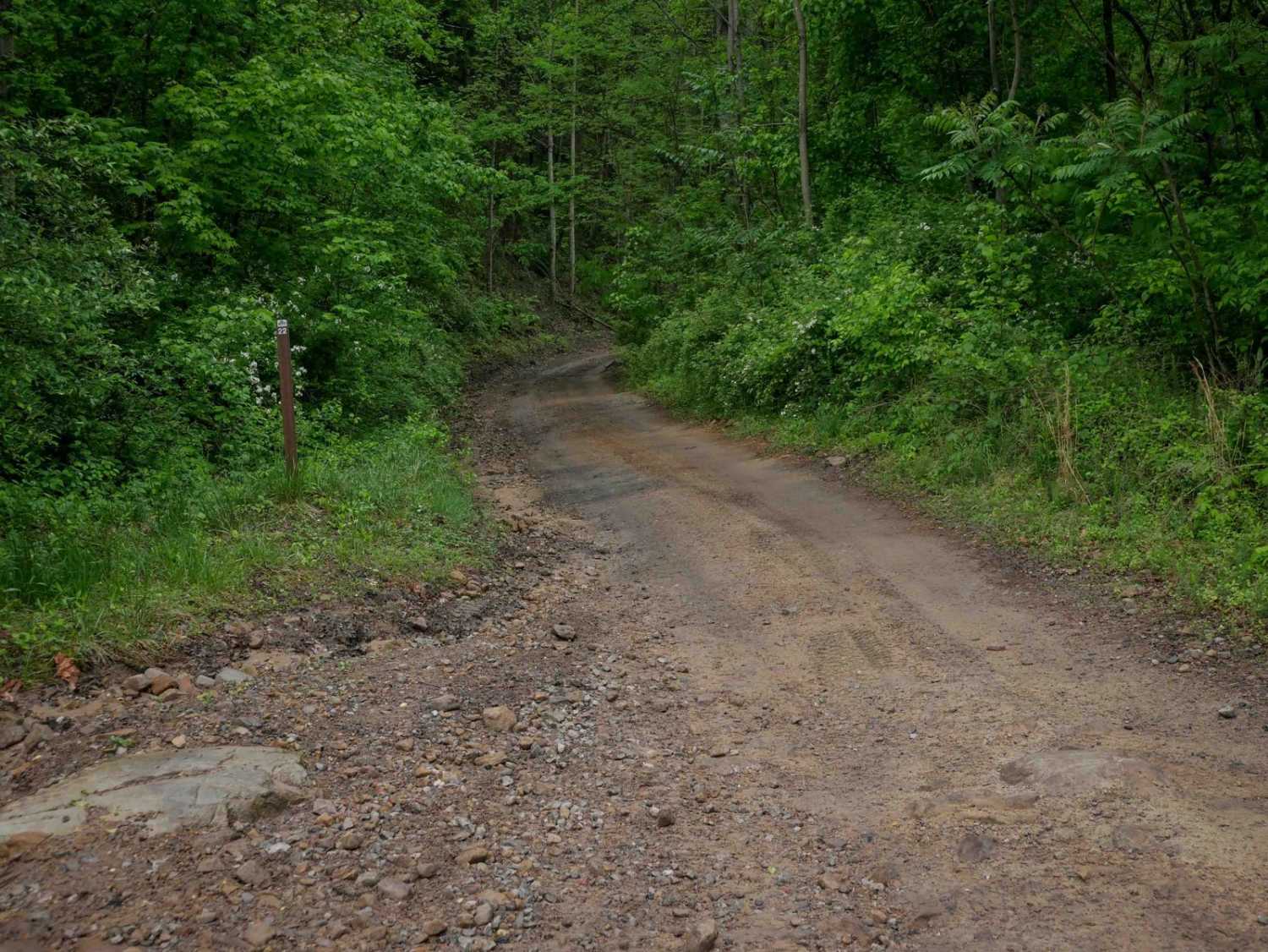
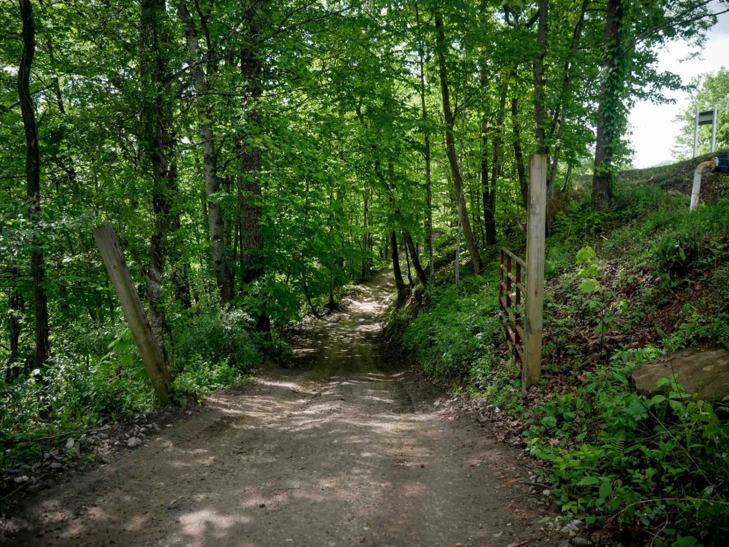
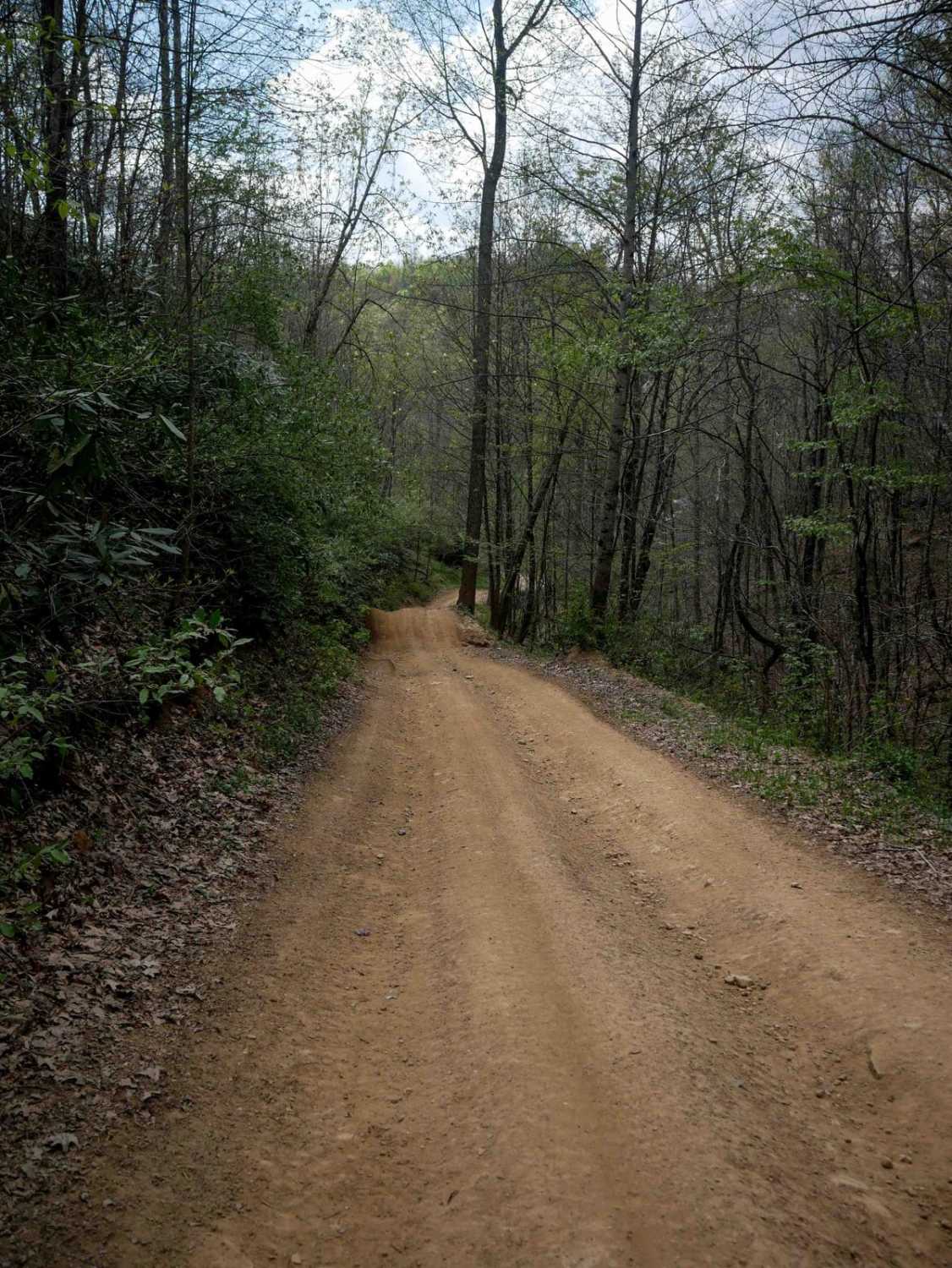
B43 is a moderately easy trail less than a mile long that serves as an alternate connector through the middle of the trail system. The route includes a shelfy one-lane path that dips down to a stream crossing where the trail becomes slightly more rocky. Other sections are wider with only minor loose rock. B43 parallels B69 and offers a similar difficulty level, making it a good alternate route. It also provides access to the advanced B71 trail.
Photos of B43


Difficulty
This is a moderately easy trail with some rockier and steep sections, but overall ideal for most skill levels. This is considered Moderate by Hatfield McCoy's rating system.
Status Reports
B43 can be accessed by the following ride types:
- High-Clearance 4x4
- SxS (60")
- ATV (50")
- Dirt Bike
B43 Map
Popular Trails
The onX Offroad Difference
onX Offroad combines trail photos, descriptions, difficulty ratings, width restrictions, seasonality, and more in a user-friendly interface. Available on all devices, with offline access and full compatibility with CarPlay and Android Auto. Discover what you’re missing today!