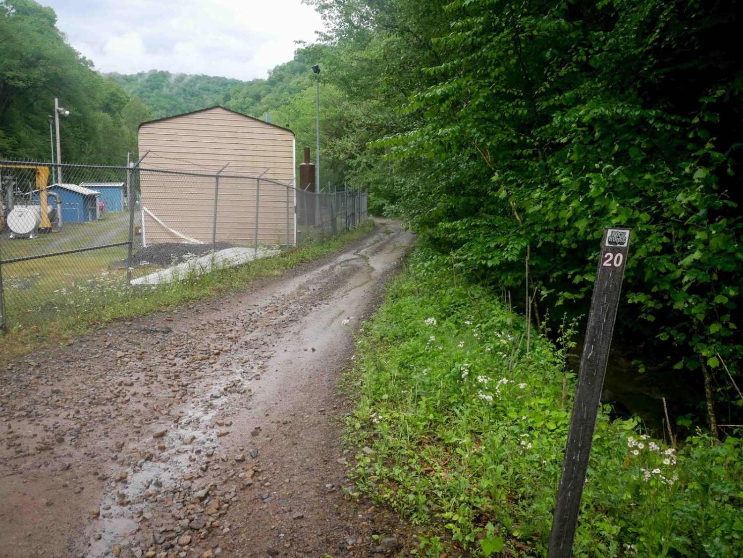
RH 20
Total Miles
2.3
Technical Rating
Best Time
Fall, Spring, Summer, Winter
Trail Type
60" Trail
Accessible By
Trail Overview
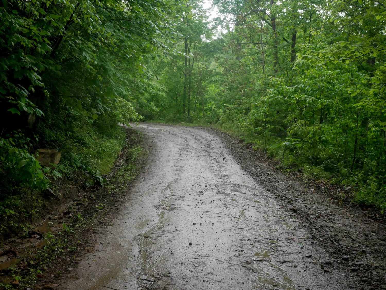
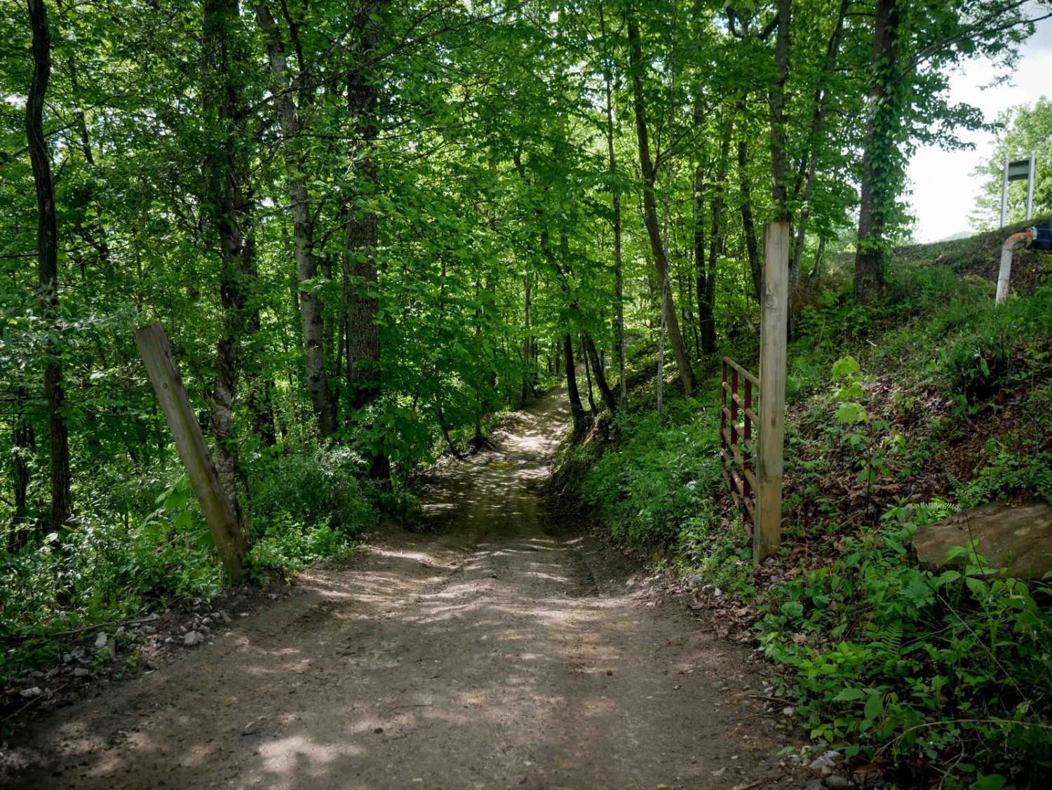
RH 20 is a 2.6-mile trail that begins near some utility buildings and fencing under powerlines and climbs the mountainside via a couple of wide switchbacks. It transitions into a meandering, shelf-like path along the hillside, featuring scenic rock cliffs built into the terrain. The trail surface includes minor loose rock and some embedded larger rock slabs. While mostly gradual and flat for the majority of its length, the east end includes a more prominent climb early on. RH 20 offers a scenic, steady ride suited for a wide range of skill levels.
Photos of RH 20
Difficulty
This is an easy SxS route with some minor ruts and loose rock, but is overall ideal for all skill levels. Note that this is considered More Difficult by Hatfield McCoy's rating system.
Status Reports
RH 20 can be accessed by the following ride types:
- SxS (60")
- ATV (50")
- Dirt Bike
RH 20 Map
Popular Trails

178 Single Track


The onX Offroad Difference
onX Offroad combines trail photos, descriptions, difficulty ratings, width restrictions, seasonality, and more in a user-friendly interface. Available on all devices, with offline access and full compatibility with CarPlay and Android Auto. Discover what you’re missing today!