BM 13
Total Miles
4.2
Technical Rating
Best Time
Spring, Fall, Summer, Winter
Trail Type
60" Trail
Accessible By
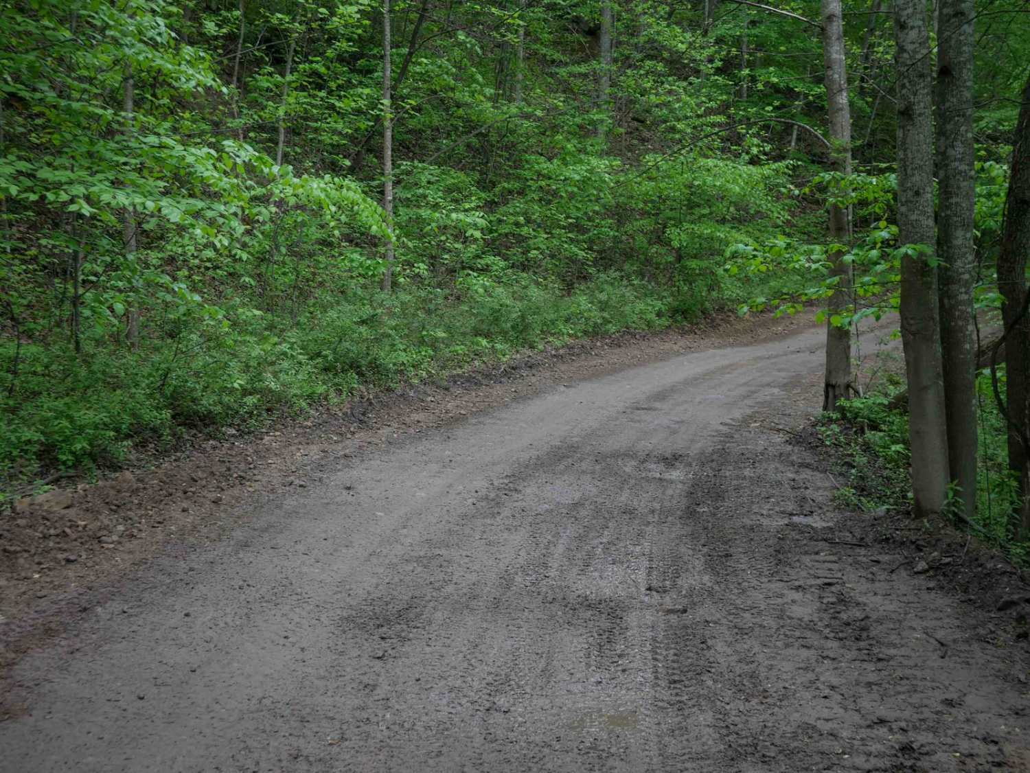
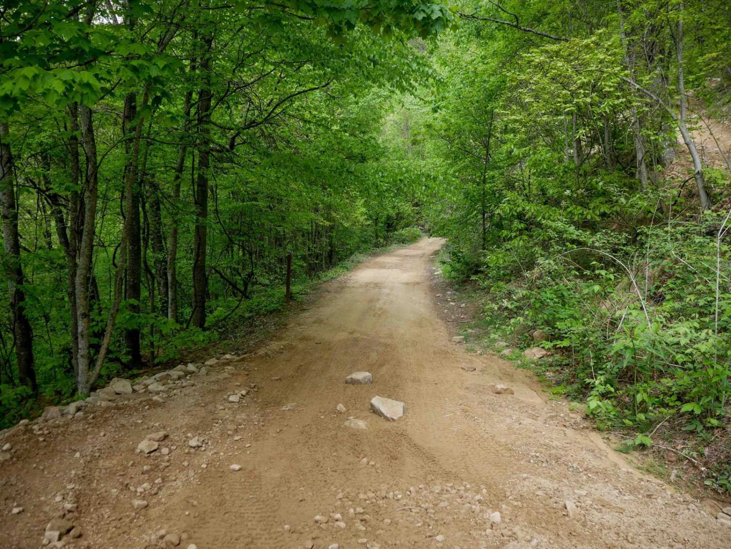
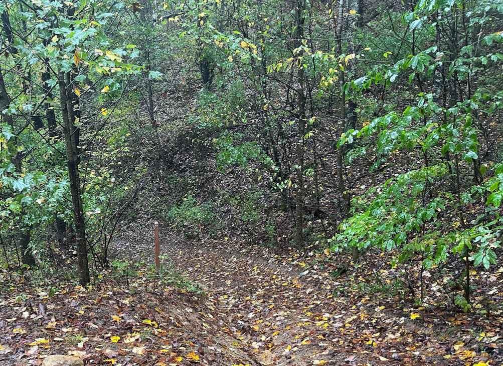
Trail Overview
BM 13 is a 4.3-mile easy-rated access corridor typical of the Buffalo Mountain system, offering wide, smooth, and graded terrain with room for two-way travel and excellent visibility. It features gradual grades, casual wide corners, and passes through lush forest with scenic rock walls, making it a reliable and straightforward connector for riders of all skill levels. It's super curvy and is a good way to get from north to south within the Buffalo Mountain trail system.
Photos of BM 13

Difficulty
This is an easy SxS route with minimal rock and ruts, ideal for all skill levels.
Status Reports
BM 13 can be accessed by the following ride types:
- SxS (60")
- ATV (50")
- Dirt Bike
BM 13 Map
Popular Trails


The onX Offroad Difference
onX Offroad combines trail photos, descriptions, difficulty ratings, width restrictions, seasonality, and more in a user-friendly interface. Available on all devices, with offline access and full compatibility with CarPlay and Android Auto. Discover what you’re missing today!