Q40
Total Miles
0.6
Technical Rating
Best Time
Spring, Summer, Fall, Winter
Trail Type
Full-Width Road
Accessible By
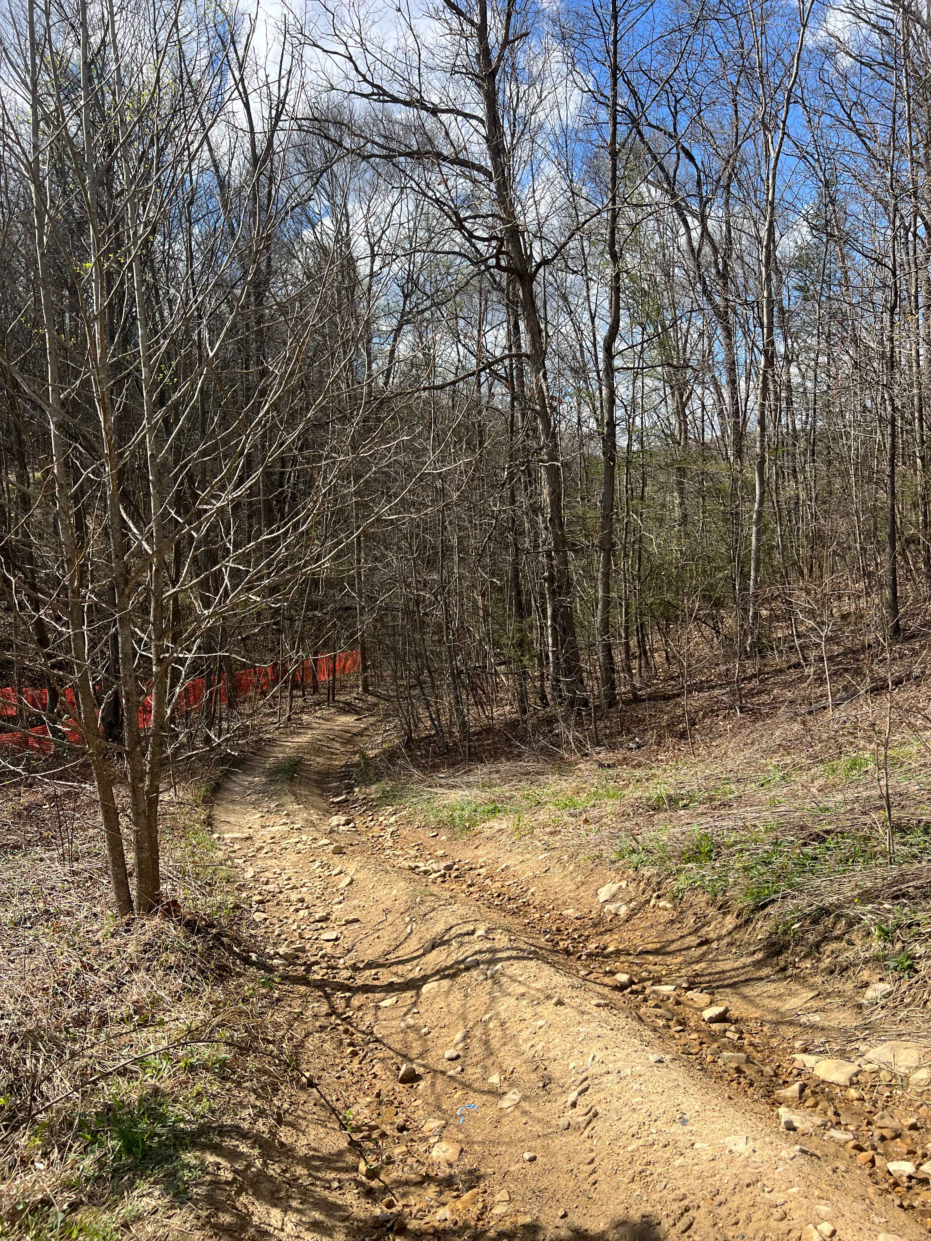
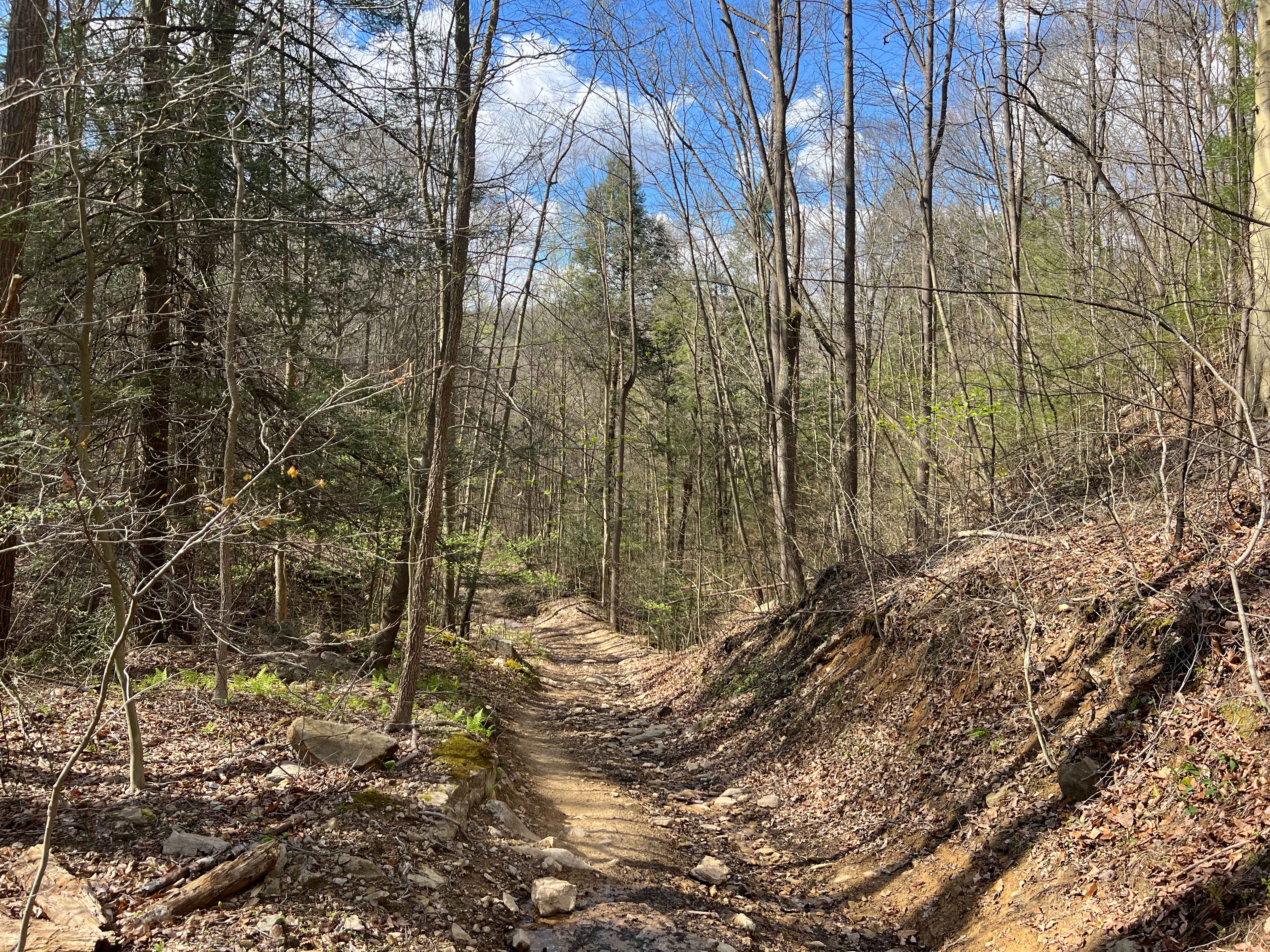
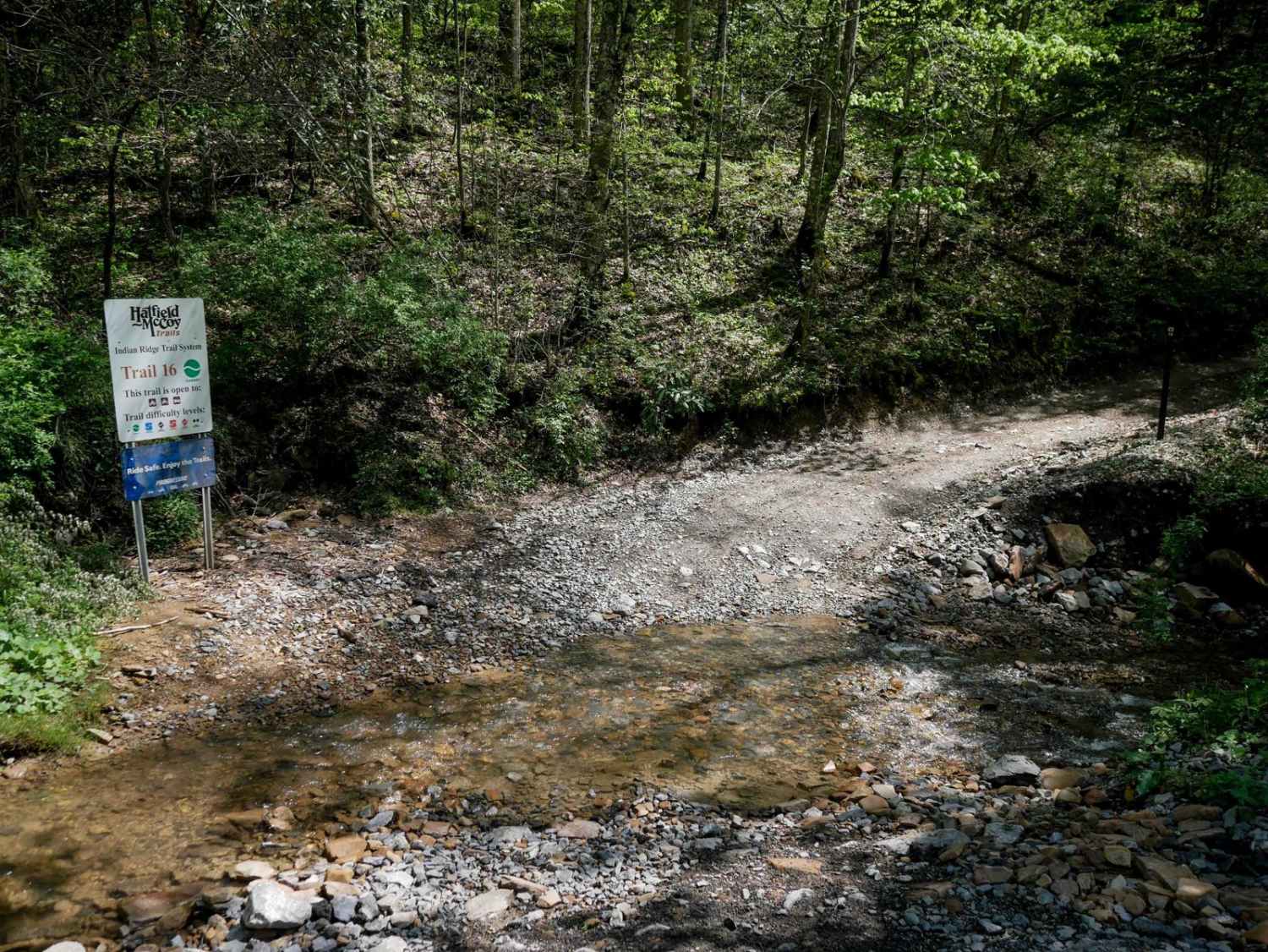
Trail Overview
Trail Q40 is an easy ride that is a narrow winding trail connecting Q2 to Q6/Q7. Sections of the trail are narrow enough that they should be carefully navigated with a full-width or wider high clearance 4x4s. Aside from some ruts and minor washes, this is a beautiful and easy drive. The creek that runs parallel and in close proximity to the trail is Laurel Fork.
Photos of Q40
Difficulty
Trail is very narrow in some sections (for full-width or wider high clearance 4x4s) and has numerous rutted areas.
Status Reports
Q40 can be accessed by the following ride types:
- High-Clearance 4x4
- SUV
- SxS (60")
- ATV (50")
- Dirt Bike
Q40 Map
Popular Trails


The onX Offroad Difference
onX Offroad combines trail photos, descriptions, difficulty ratings, width restrictions, seasonality, and more in a user-friendly interface. Available on all devices, with offline access and full compatibility with CarPlay and Android Auto. Discover what you’re missing today!