IR 16
Total Miles
4.8
Technical Rating
Best Time
Spring, Fall, Summer, Winter
Trail Type
60" Trail
Accessible By
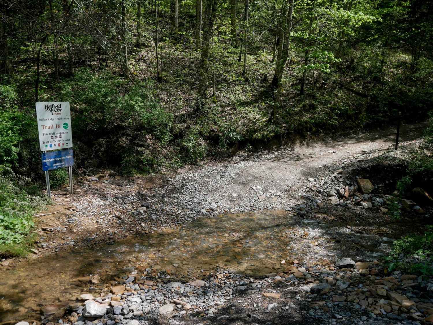
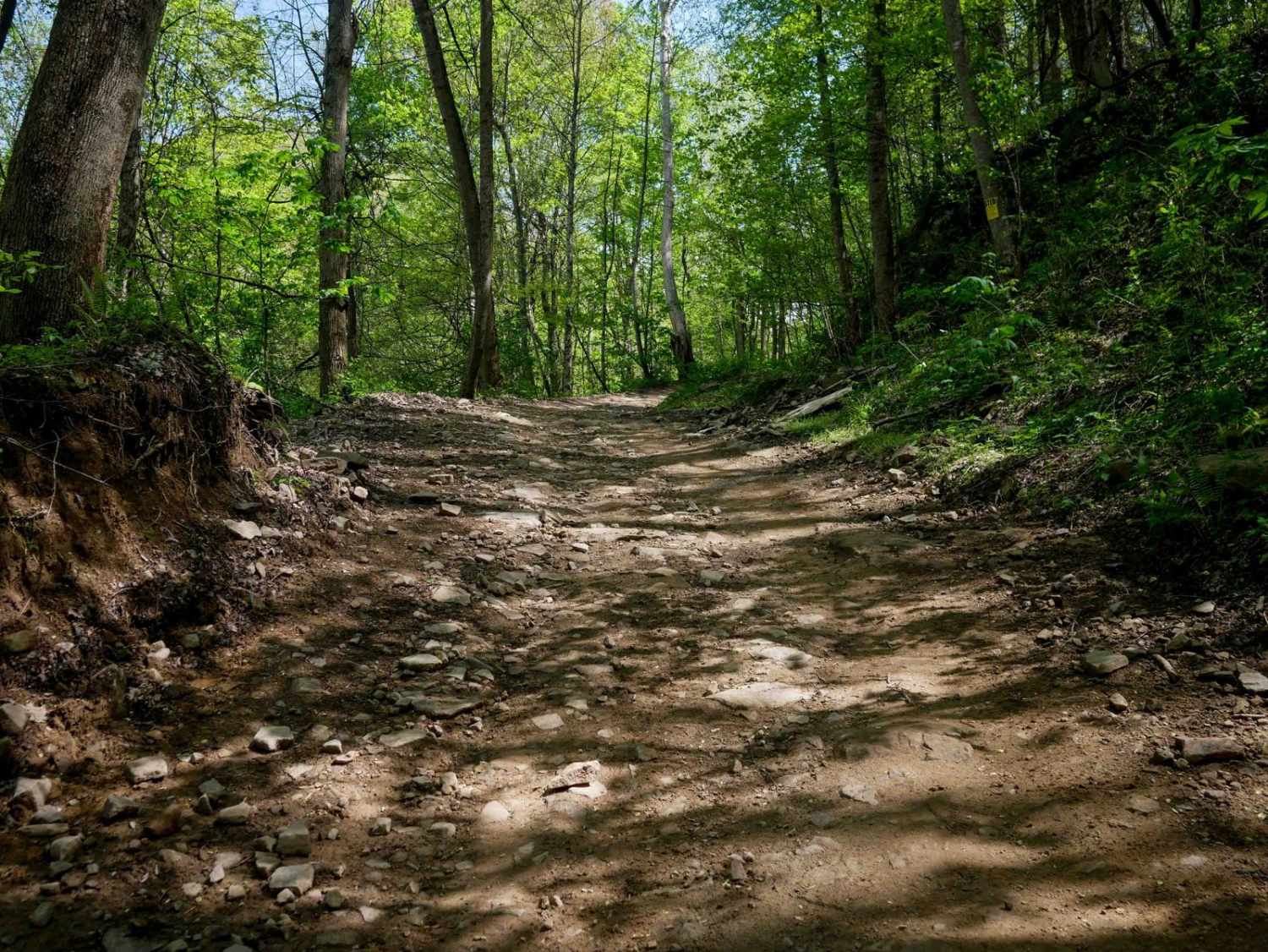
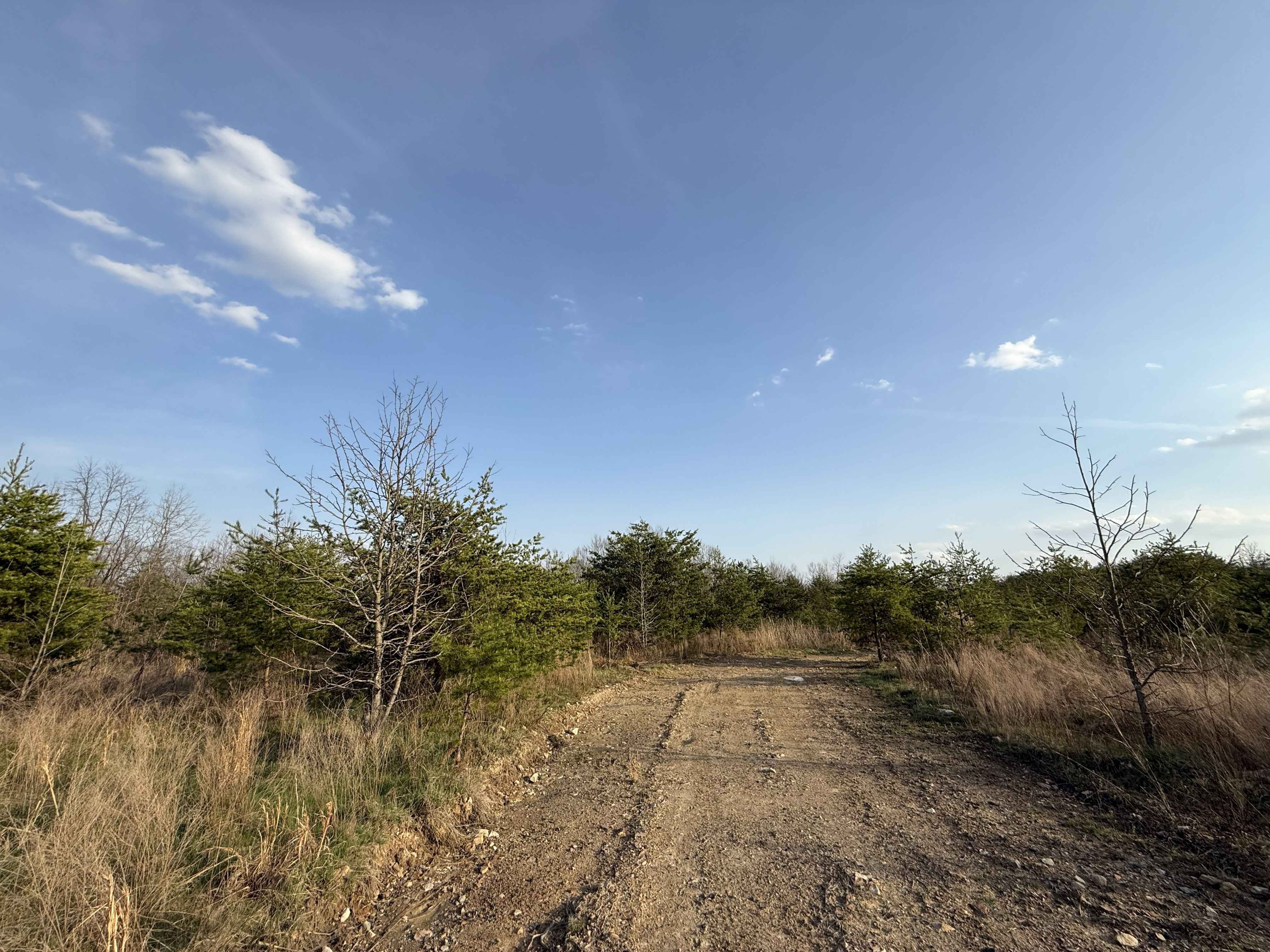
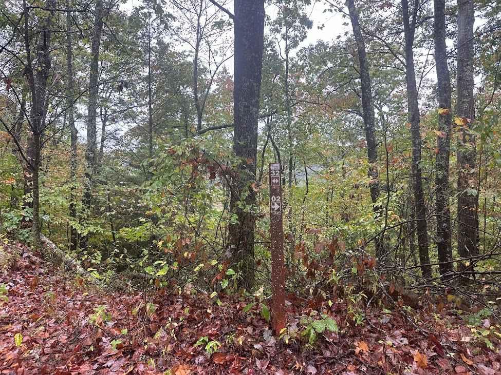
Trail Overview
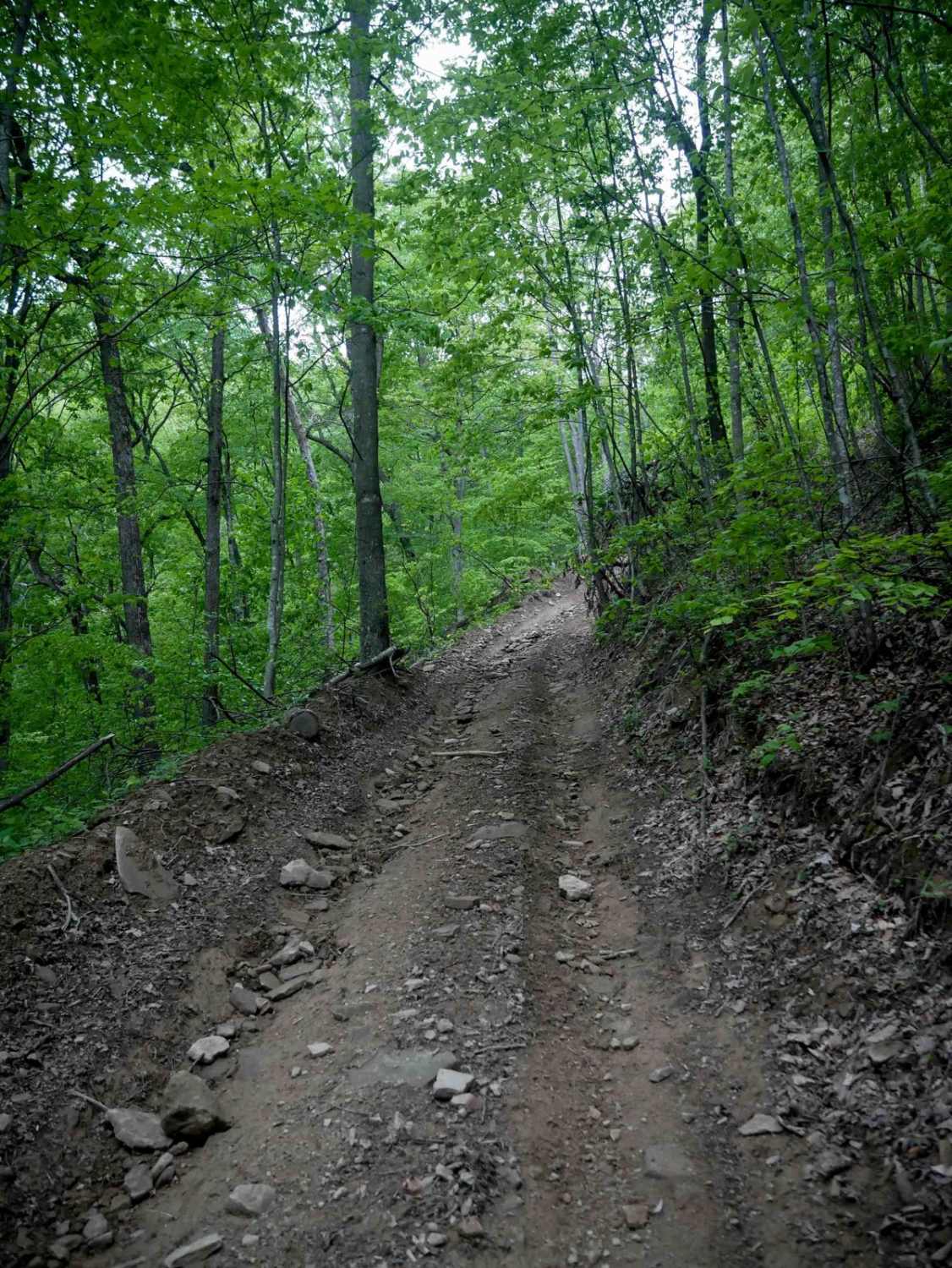
Trail 16 is a 4.4-mile connector that links the east and west halves of the Indian Ridge Trail System. It's an overall easy route, with minor ruts, loose rock, and some shelfy, narrow sections--especially around sweeping corners and hairpin switchbacks where riders should watch for oncoming traffic. The trail winds through lush forest with loamy soil and occasional large mud puddles, especially after rain. About halfway through, regardless of direction, it descends to Leftwich Branch Road and crosses before climbing back into the woods. While there are a few steeper segments, the trail remains mostly gradual and is a key access corridor through the system.
Photos of IR 16
Difficulty
This is an easy SxS route with minor features such as shelfy spots, switchbacks, and loose rocks, but remains manageable for riders of all skill levels.
Status Reports
IR 16 can be accessed by the following ride types:
- SxS (60")
- ATV (50")
- Dirt Bike
IR 16 Map
Popular Trails

The onX Offroad Difference
onX Offroad combines trail photos, descriptions, difficulty ratings, width restrictions, seasonality, and more in a user-friendly interface. Available on all devices, with offline access and full compatibility with CarPlay and Android Auto. Discover what you’re missing today!