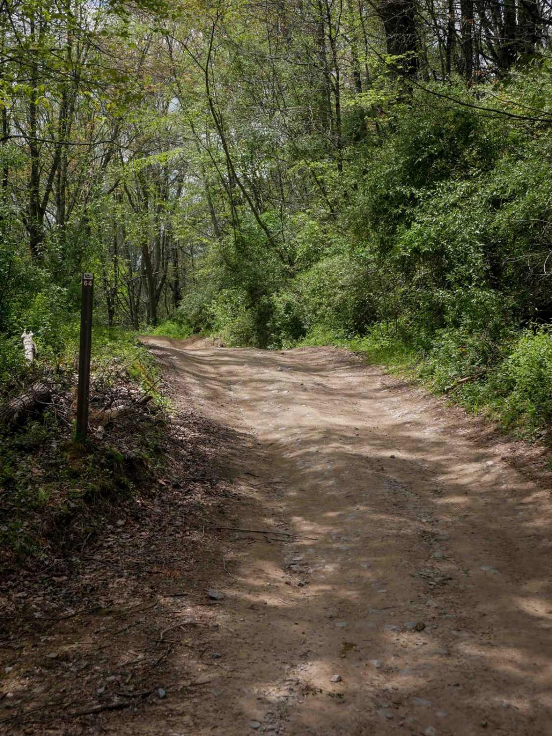
P64
Total Miles
2.2
Technical Rating
Best Time
Spring, Fall, Summer, Winter
Trail Type
60" Trail
Accessible By
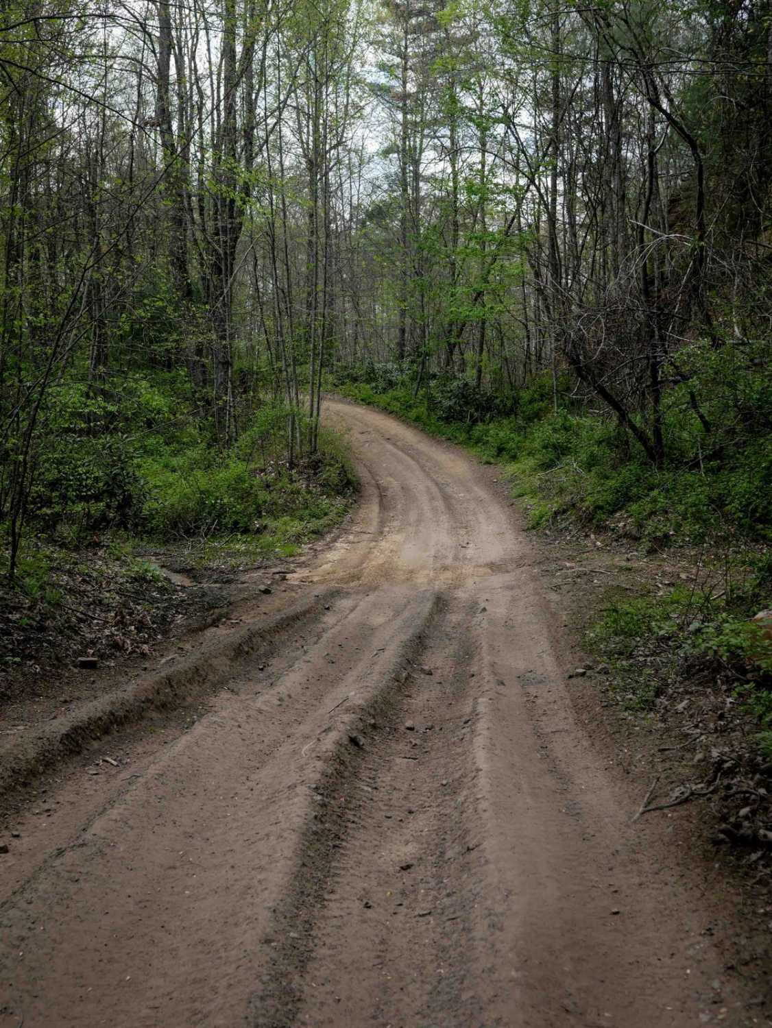
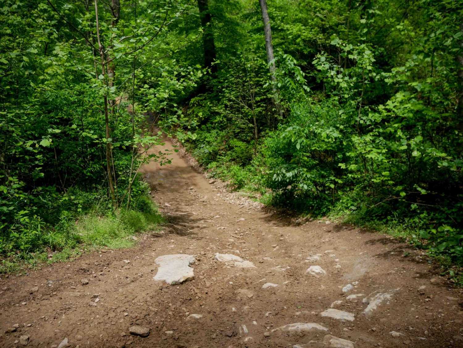
Trail Overview
Trail P64 is a 2.2-mile route with a gradual, narrower path that winds through a scenic, lush forest on dark, coal-like dirt. Lined with tall eastern white pines, the trail features minor ruts, small mud puddles, and no significant obstacles, making it a smooth, enjoyable ride. It also intersects with a few connector trails along the way, offering additional route options.
Photos of P64
Difficulty
This is an easy SxS route with minimal features such as gradual grades and shallow ruts, but manageable for drivers of all skill levels. Note that it is labeled as More Difficult by the trail system.
Status Reports
P64 can be accessed by the following ride types:
- SxS (60")
- ATV (50")
- Dirt Bike
P64 Map
Popular Trails


The onX Offroad Difference
onX Offroad combines trail photos, descriptions, difficulty ratings, width restrictions, seasonality, and more in a user-friendly interface. Available on all devices, with offline access and full compatibility with CarPlay and Android Auto. Discover what you’re missing today!