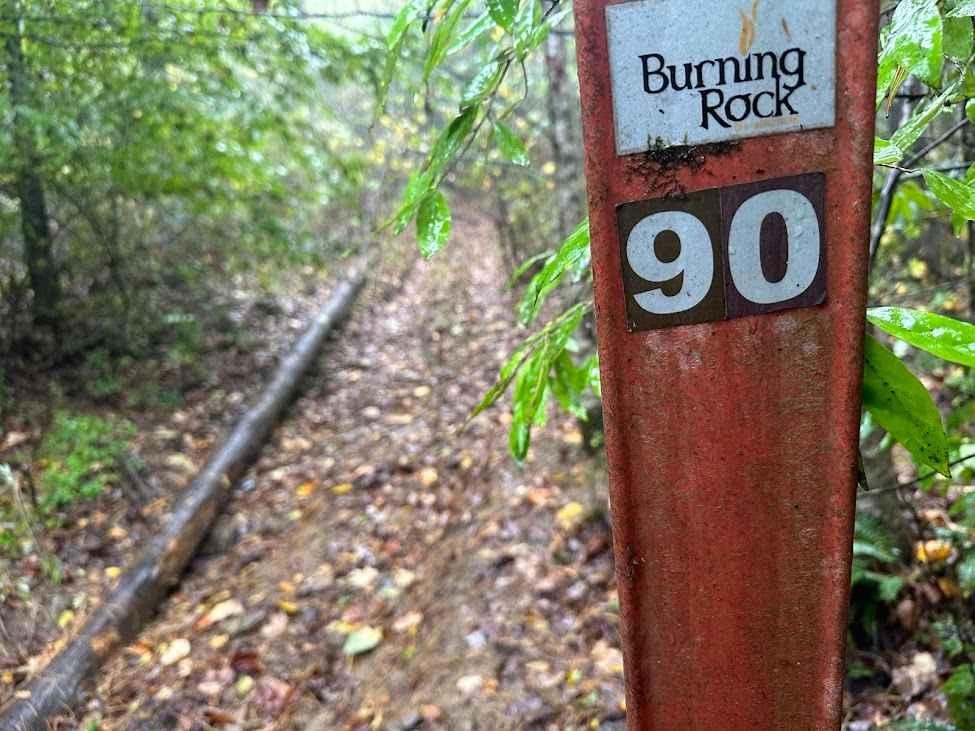
B45
Total Miles
0.3
Technical Rating
Best Time
Fall, Spring, Summer, Winter
Trail Type
High-Clearance 4x4 Trail
Accessible By
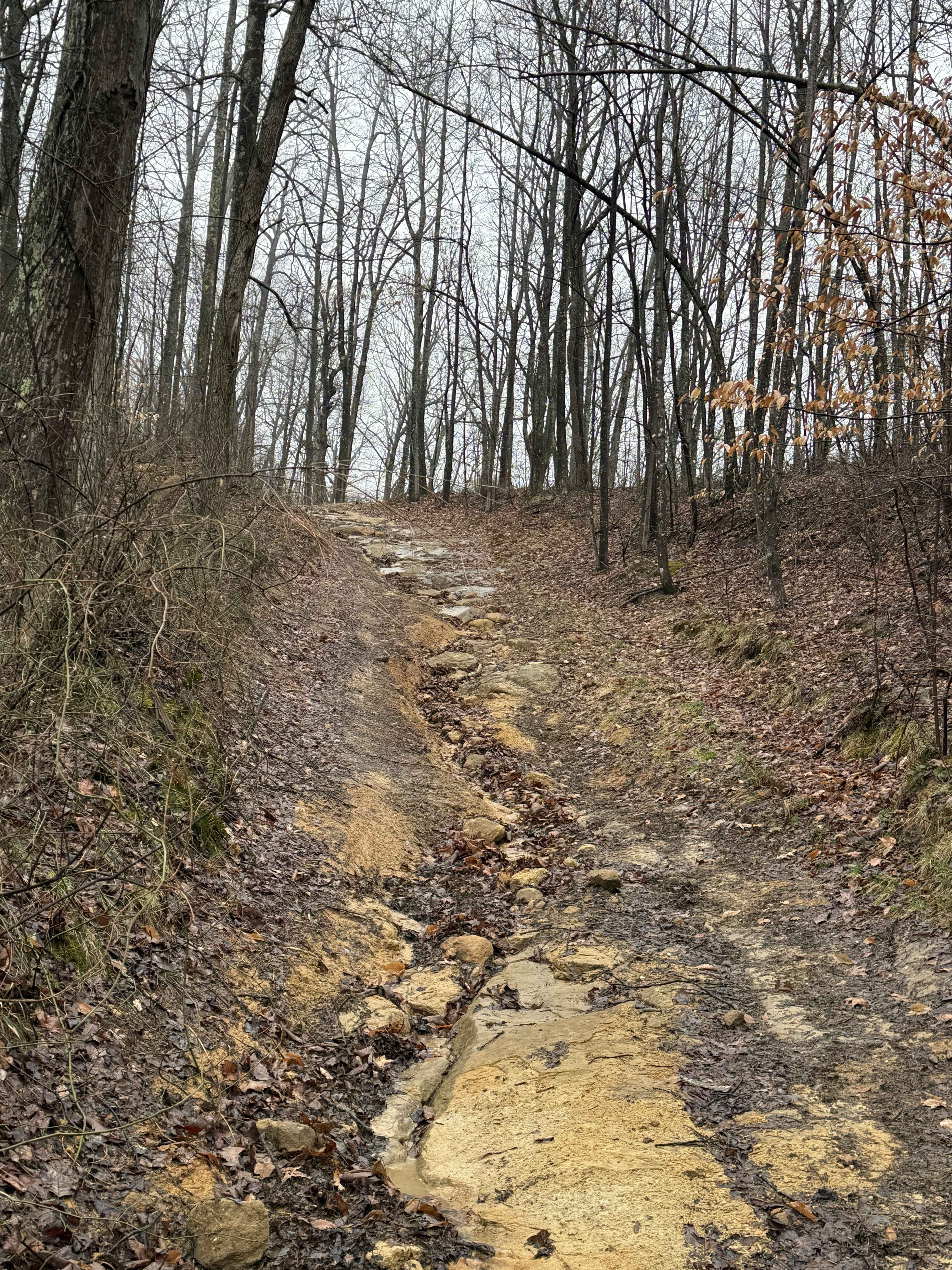
Trail Overview
B45 is a challenging descent (from north to south) featuring a very steep, rocky path with tight turns and narrow sections between overgrown trees. The initial descent is covered in large loose rocks and rutted surfaces. As the trail drops into a forested ravine, the terrain becomes slick with moisture, and off-camber sections add to the difficulty. While there aren't massive rock ledges, the continuous uneven surface and big loose rock require careful tire placement and confident driving. The dense forest and narrow width mean full-size vehicles may face clearance challenges. This trail is best suited for experienced drivers prepared for a sustained technical descent. It ends at the intersection with B46 on the south end.
Photos of B45


Difficulty
This is an advanced trail with constant rock and very steep grades for highly skilled drivers only. This is considered Extreme by Hatfield McCoy's Rating System.
Status Reports
B45 can be accessed by the following ride types:
- High-Clearance 4x4
- SxS (60")
- ATV (50")
- Dirt Bike
B45 Map
Popular Trails

Tams Loop Green

The onX Offroad Difference
onX Offroad combines trail photos, descriptions, difficulty ratings, width restrictions, seasonality, and more in a user-friendly interface. Available on all devices, with offline access and full compatibility with CarPlay and Android Auto. Discover what you’re missing today!