P33
Total Miles
0.3
Technical Rating
Best Time
Spring, Fall, Summer, Winter
Trail Type
60" Trail
Accessible By
Trail Overview
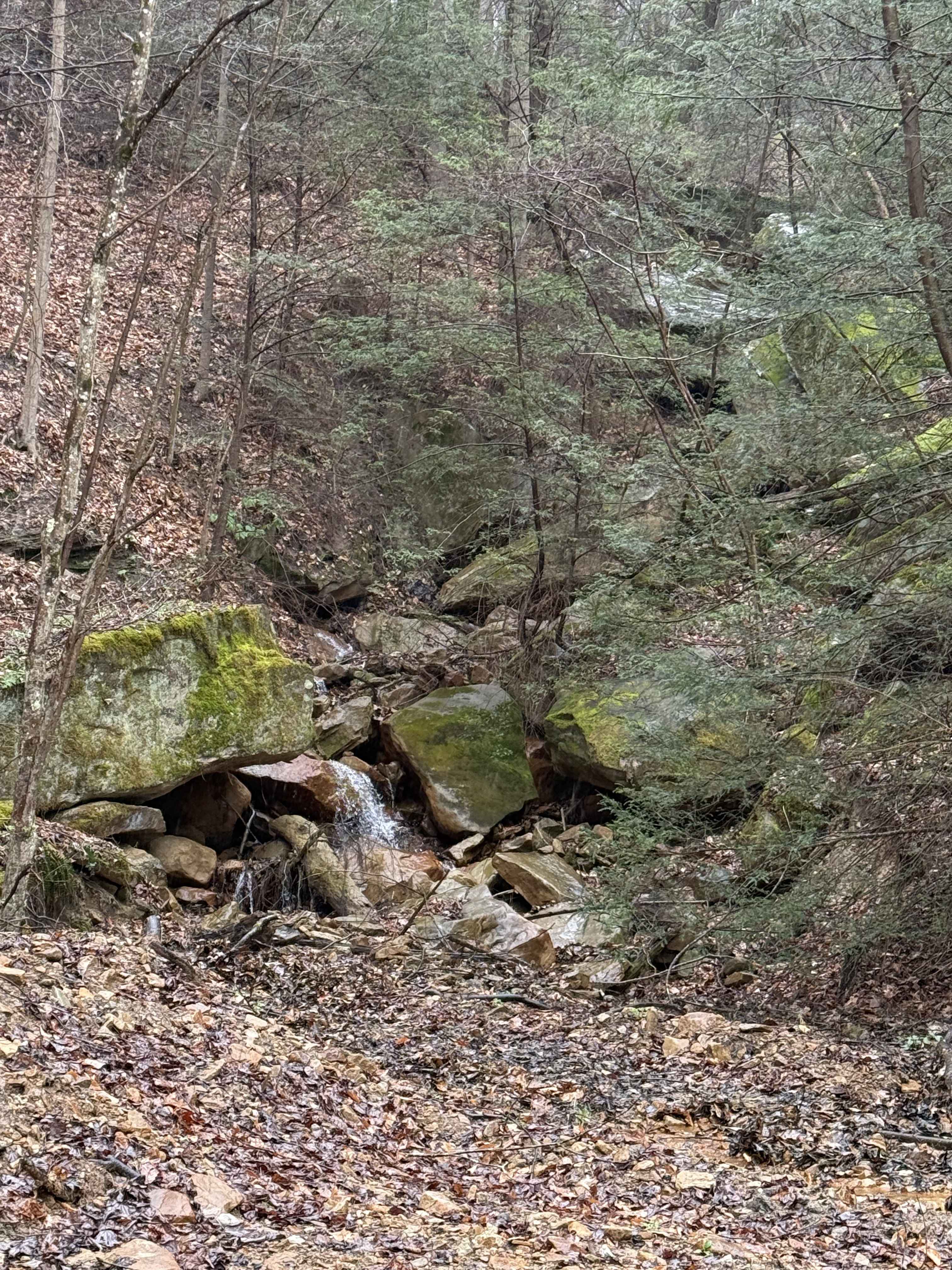
Trail P33 is a short, quarter-mile connector between P13 and P31, with black, coal-like dirt and a deeply eroded, troughed path that sits several feet below the forest floor, creating a tunnel-like feel. It winds through a lush forest of rhododendron with one-lane width but features wide, flowing corners. The trail includes waterbars and slightly steeper grades, though overall the climb is very gradual. It widens at the northern intersection, offering a smooth transition to connecting routes.
Photos of P33


Difficulty
This is an easy SxS route with minimal features such as steep grades, but is manageable for drivers of all skill levels. Note that it is labeled as "More Difficult" by the trail system.
Status Reports
P33 can be accessed by the following ride types:
- SxS (60")
- ATV (50")
- Dirt Bike
P33 Map
Popular Trails


The onX Offroad Difference
onX Offroad combines trail photos, descriptions, difficulty ratings, width restrictions, seasonality, and more in a user-friendly interface. Available on all devices, with offline access and full compatibility with CarPlay and Android Auto. Discover what you’re missing today!