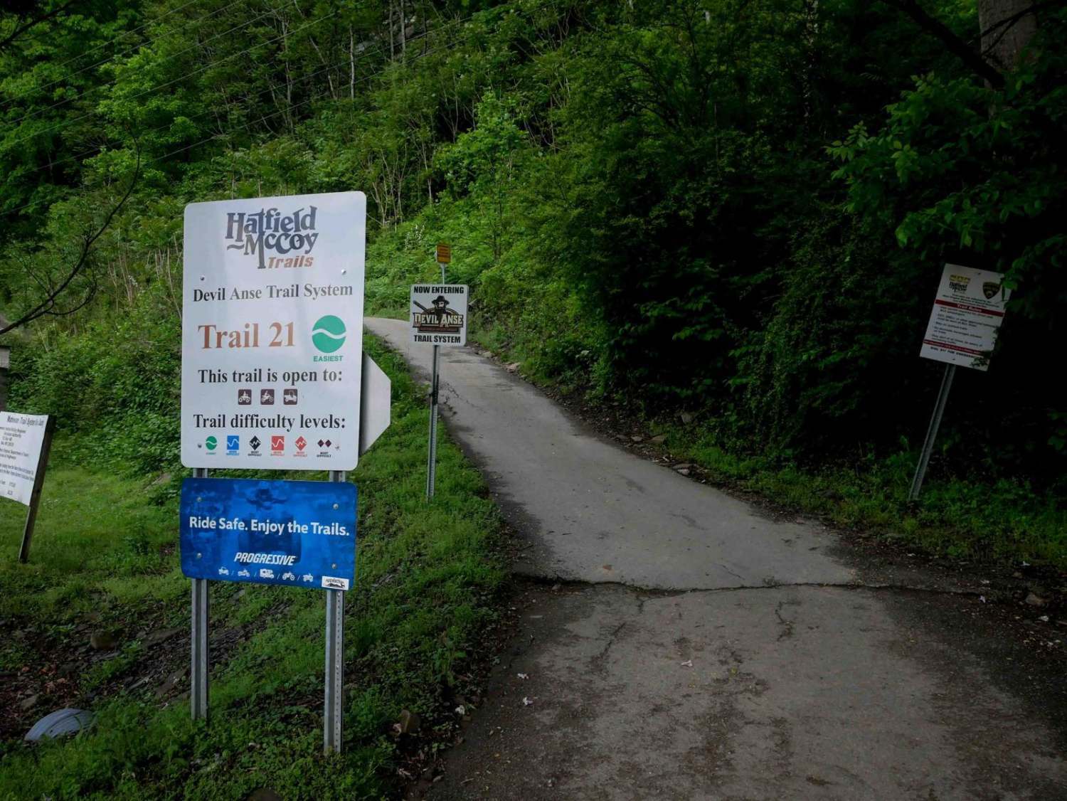
DA 21
Total Miles
2.8
Technical Rating
Best Time
Spring, Fall, Summer
Trail Type
60" Trail
Accessible By
Trail Overview
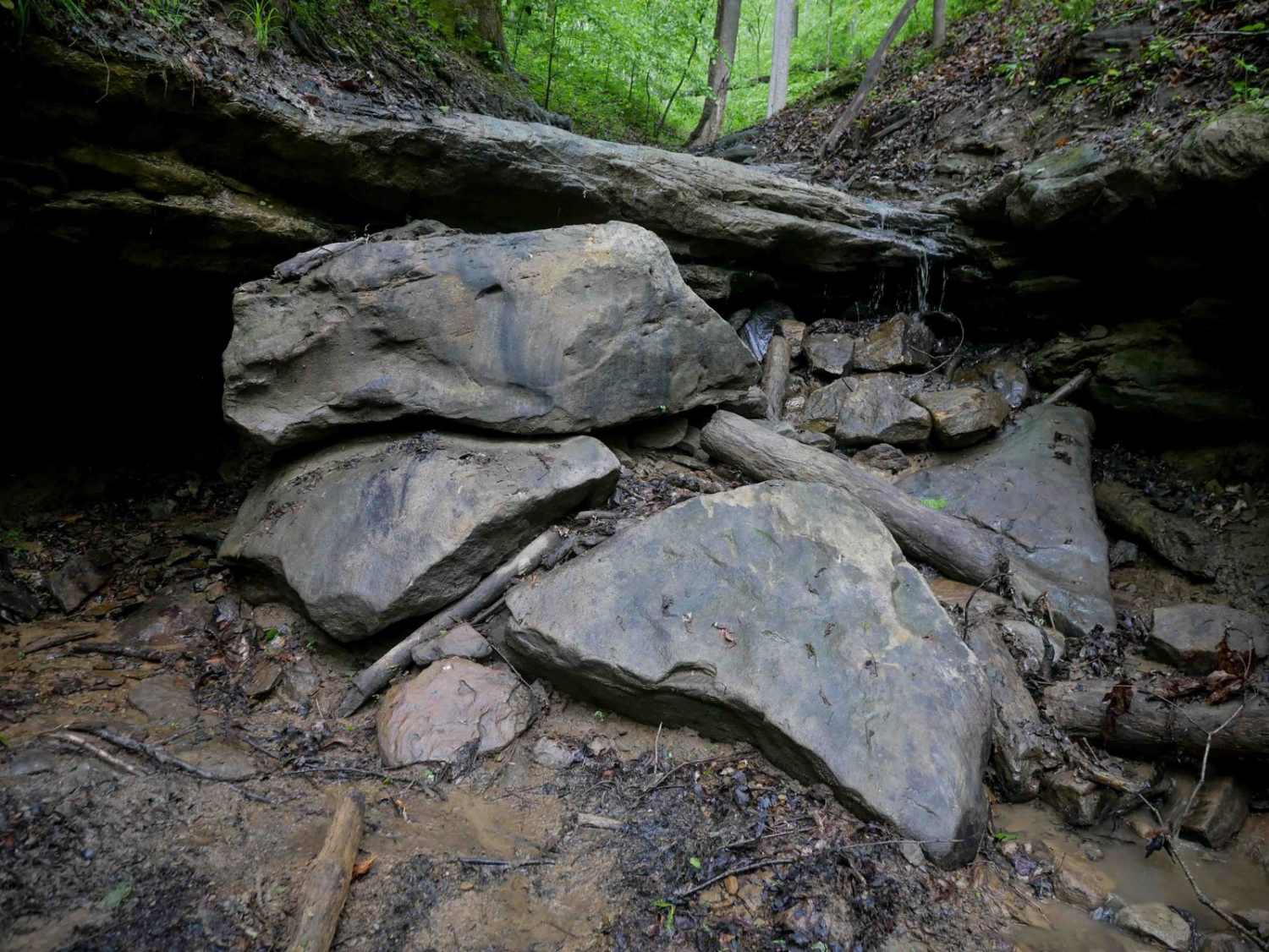
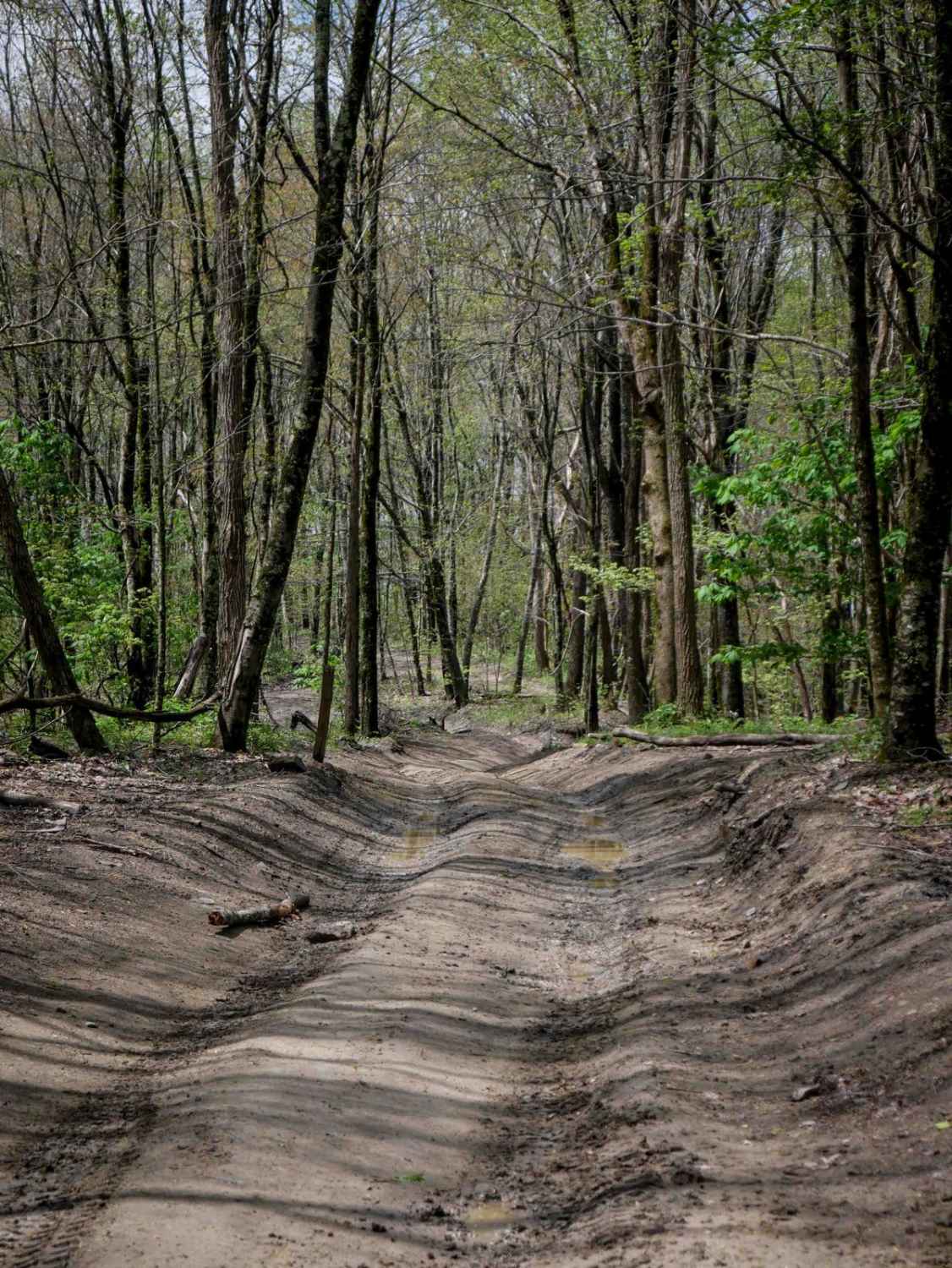
DA 21 is a 3-mile easy access corridor starting directly across State Route 49 from the Devil Anse staging area. It begins on pavement running parallel to the highway alongside a rock wall, then climbs gradually into the hills on a smooth, wide dirt path. The route features wide, graded switchbacks and remains easy throughout, offering a straightforward ride suitable for all skill levels.
Photos of DA 21

Difficulty
This is an easy SxS route with no obstacles, ideal for all skill levels.
Status Reports
DA 21 can be accessed by the following ride types:
- SxS (60")
- ATV (50")
- Dirt Bike
DA 21 Map
Popular Trails


The onX Offroad Difference
onX Offroad combines trail photos, descriptions, difficulty ratings, width restrictions, seasonality, and more in a user-friendly interface. Available on all devices, with offline access and full compatibility with CarPlay and Android Auto. Discover what you’re missing today!