P12
Total Miles
2.0
Technical Rating
Best Time
Spring, Summer, Fall, Winter
Trail Type
60" Trail
Accessible By
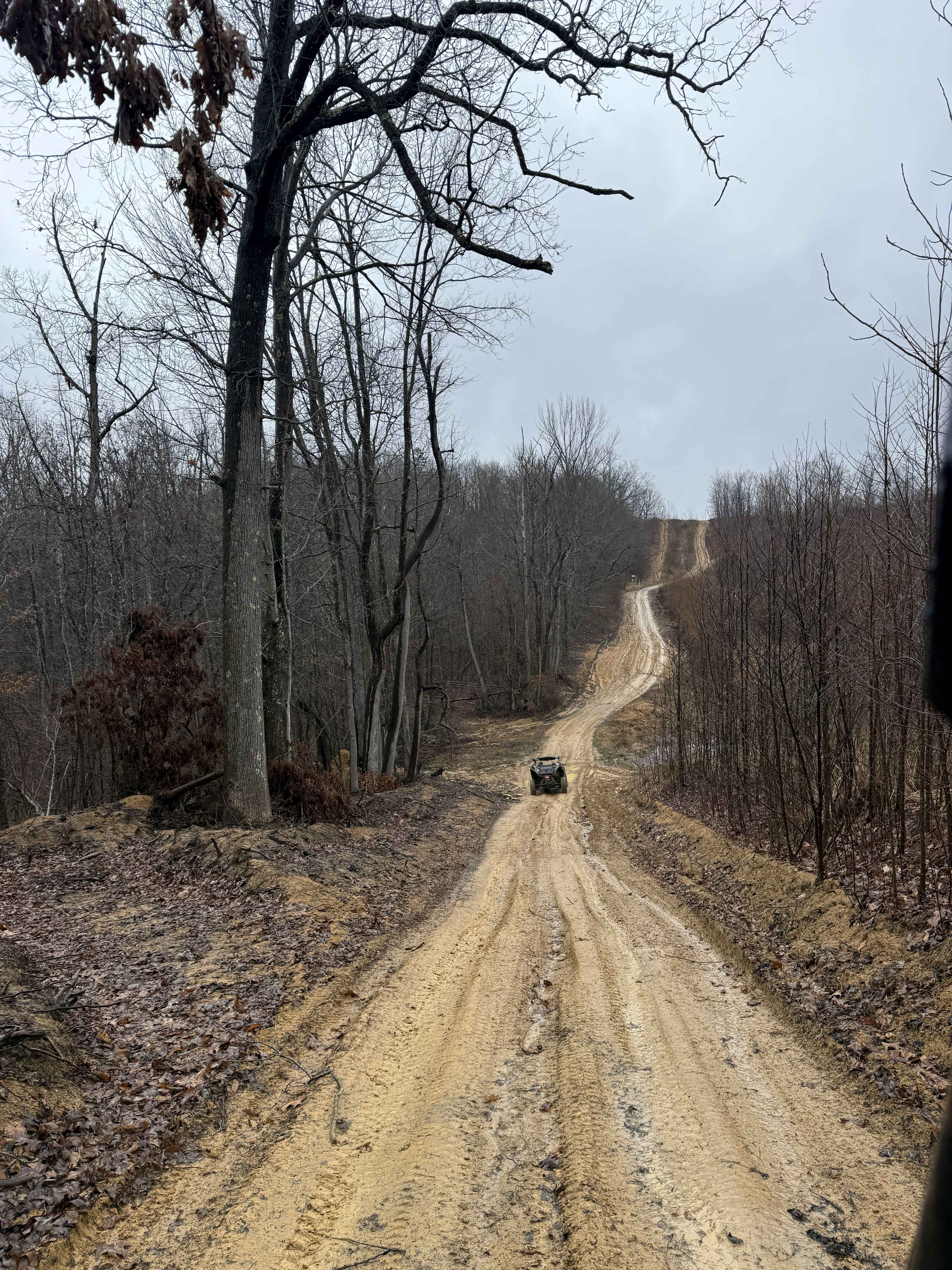
Trail Overview
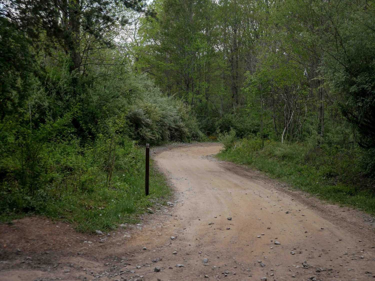
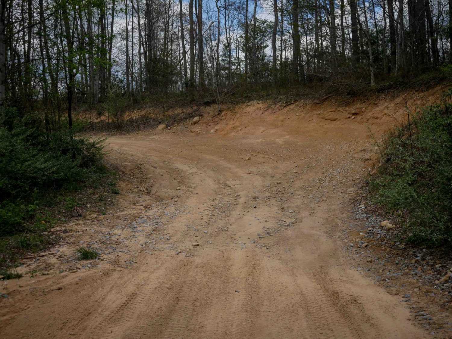
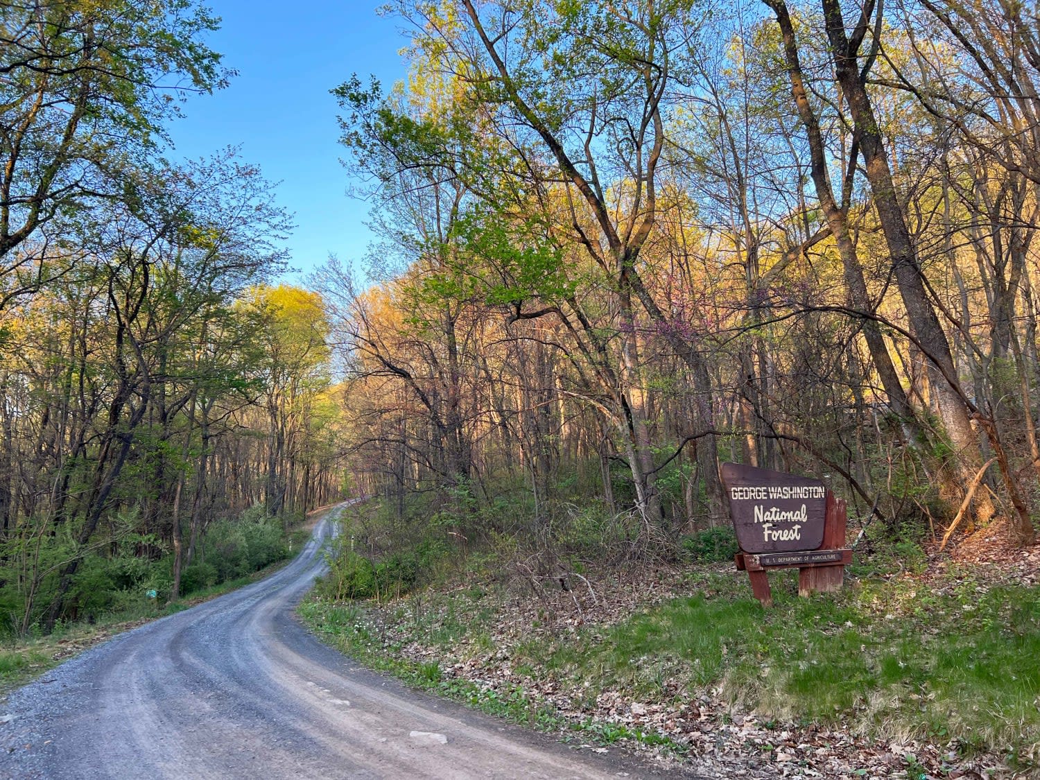
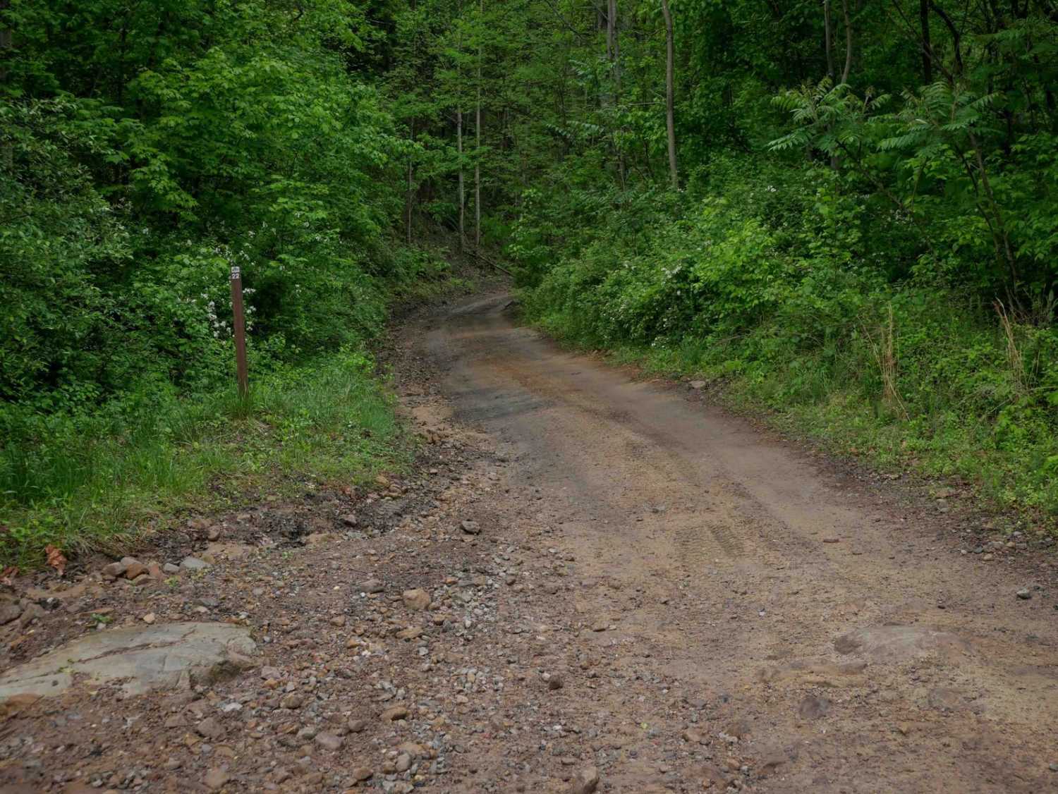
Trail P12 is a 2-mile route connecting P15 and P13, spanning one end of the trail system to the other. It is very wide and smooth, with minor ruts and small rocks pushed to the sides. The trail passes through several well-marked intersections and features numerous waterbars, big banked corners, and scenic views through tall red pine trees. It briefly runs beneath power lines and passes by the Belcher Cemetery. The entire route is easy and manageable for riders of all skill levels.
Photos of P12
Difficulty
This is an easy SxS route with gradual grades and banked corners, and is manageable for drivers of all skill levels.
Status Reports
P12 can be accessed by the following ride types:
- SxS (60")
- ATV (50")
- Dirt Bike
P12 Map
Popular Trails

The onX Offroad Difference
onX Offroad combines trail photos, descriptions, difficulty ratings, width restrictions, seasonality, and more in a user-friendly interface. Available on all devices, with offline access and full compatibility with CarPlay and Android Auto. Discover what you’re missing today!