Q6
Total Miles
4.1
Technical Rating
Best Time
Spring, Summer, Fall, Winter
Trail Type
Full-Width Road
Accessible By
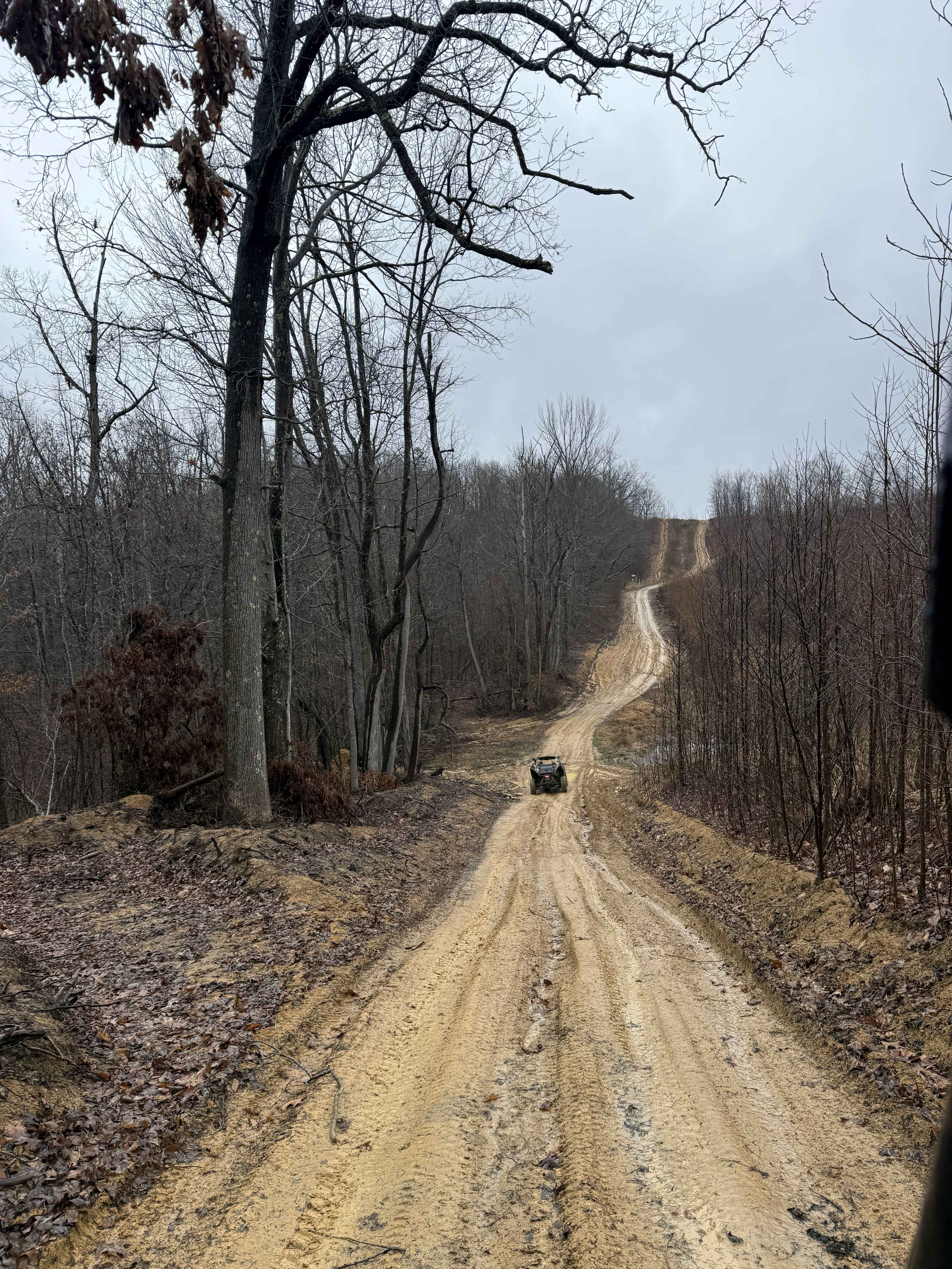
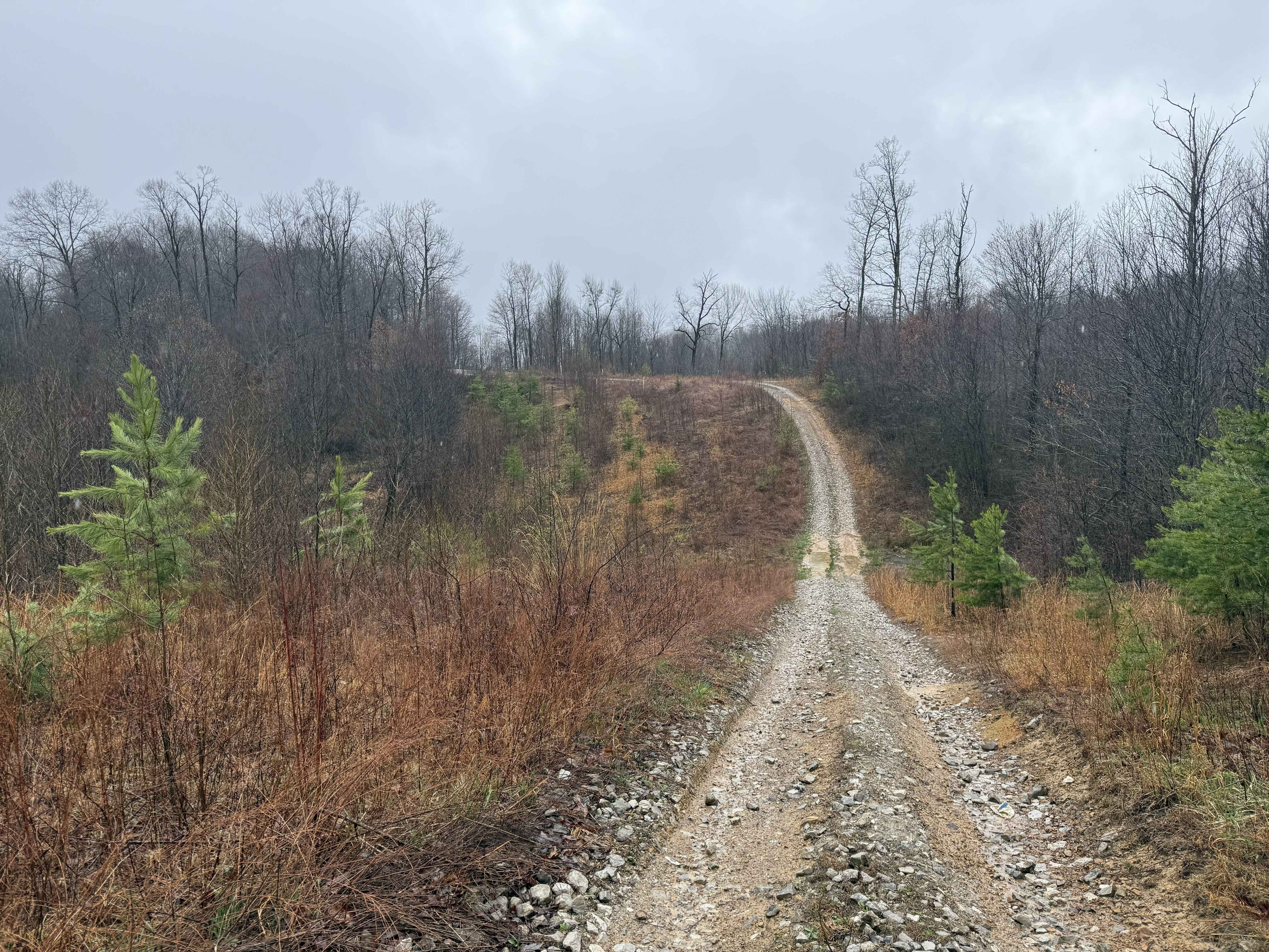
Trail Overview
Q6 runs from its intersection with Q4 to the northeast boundary of the Quincy sector, offering a more technical route with varied terrain. This trail intertwines with Q7 along the way, requiring riders to stay aware of their route and trail markings. Q6 presents a diverse mix of terrain, including slick clay and dirt sections, along with rocky segments that add technical difficulty. A standout feature is a steep, rutted hill climb with a switchback, which can be particularly challenging depending on conditions.
Photos of Q6
Difficulty
Moderate to difficult (Blue). Mixed terrain with rocky sections, slick surfaces, and a steep, rutted hill climb. Suitable for 4WD and high-clearance vehicles. Larger vehicles may find tighter or steeper sections more challenging. Clay and dirt sections become slick when wet, significantly increasing difficulty. Ruts may deepen over time, and the hill climb can become especially challenging after rain.
Status Reports
Q6 can be accessed by the following ride types:
- High-Clearance 4x4
- SUV
- SxS (60")
- ATV (50")
- Dirt Bike
Q6 Map
Popular Trails

Snake Island to Cavendish

Lucas Road to Meadow River
The onX Offroad Difference
onX Offroad combines trail photos, descriptions, difficulty ratings, width restrictions, seasonality, and more in a user-friendly interface. Available on all devices, with offline access and full compatibility with CarPlay and Android Auto. Discover what you’re missing today!