OP 50
Total Miles
0.8
Technical Rating
Best Time
Fall, Spring, Summer, Winter
Trail Type
60" Trail
Accessible By
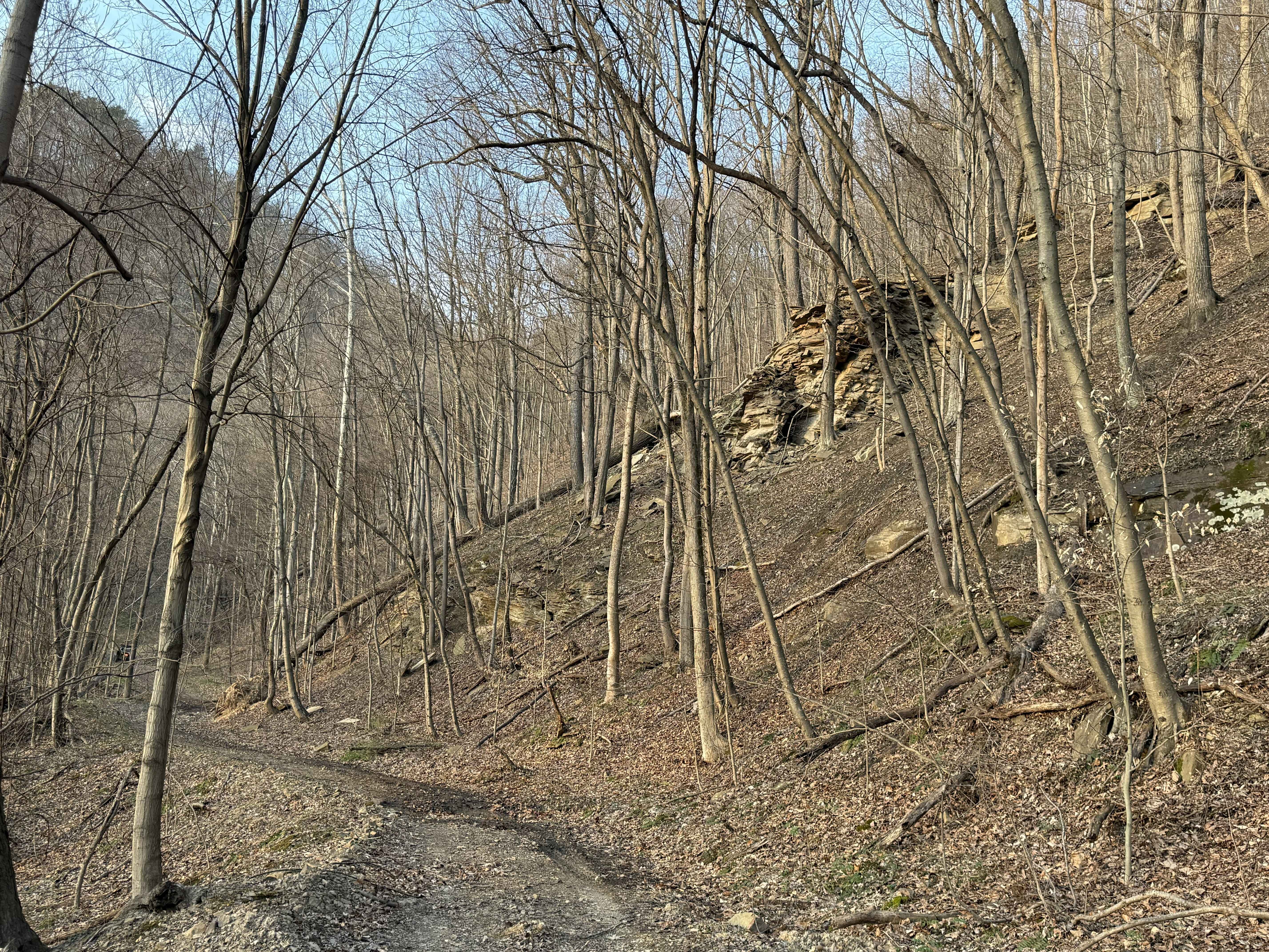
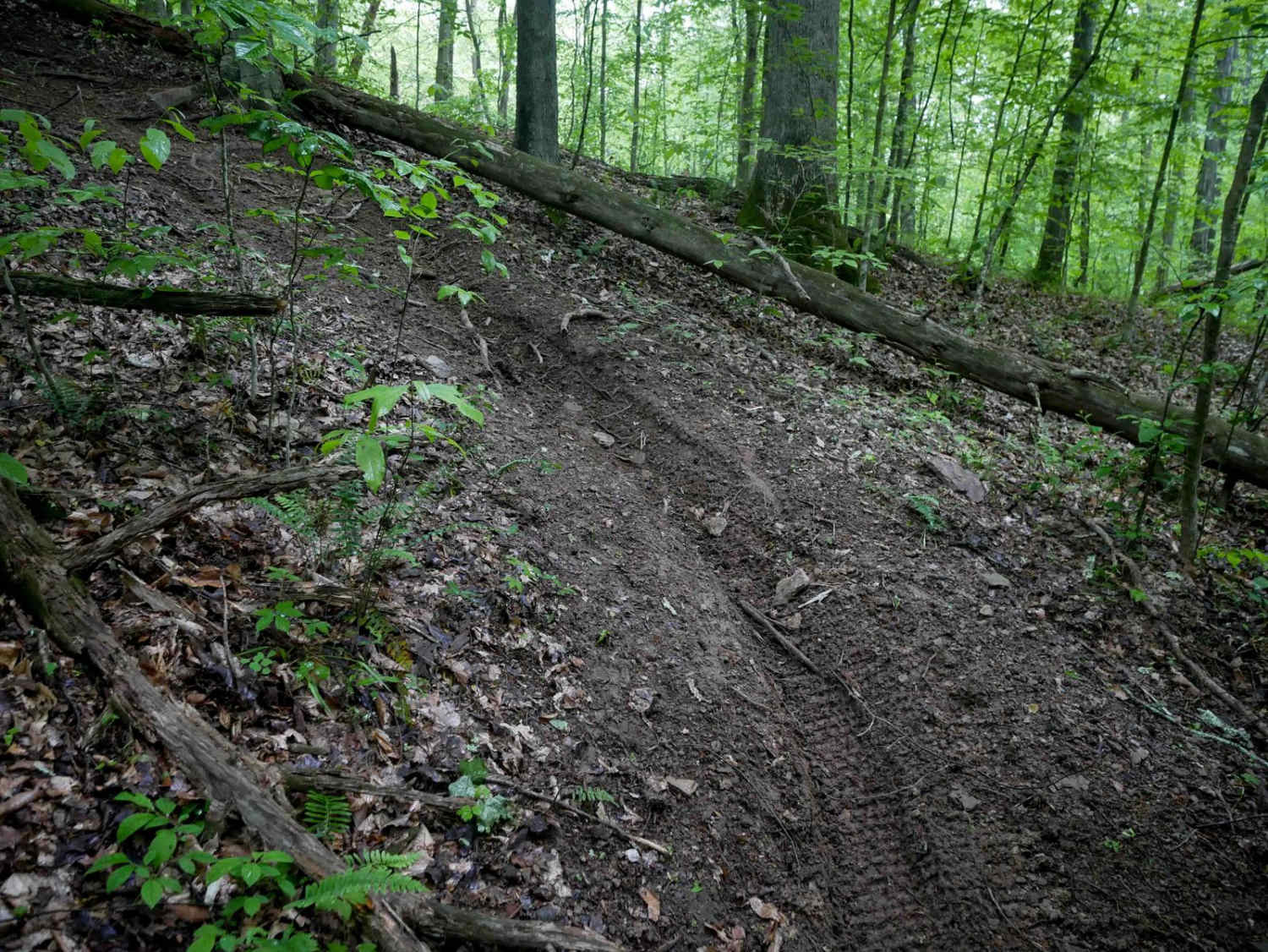
Trail Overview
OP 50 is a 0.8-mile trail descending from OP 100 to OP 18. It follows a narrow shelf path cut into the hillside with open skies early on, then drops into dense forest with thick, towering trees. The route features a sharp hairpin turn and a short, steep descent over embedded rock, forming small natural drop-offs under a foot tall. While mostly smooth with some muddier sections, the rocky slope adds a bit more difficulty and character to the trail.
Photos of OP 50
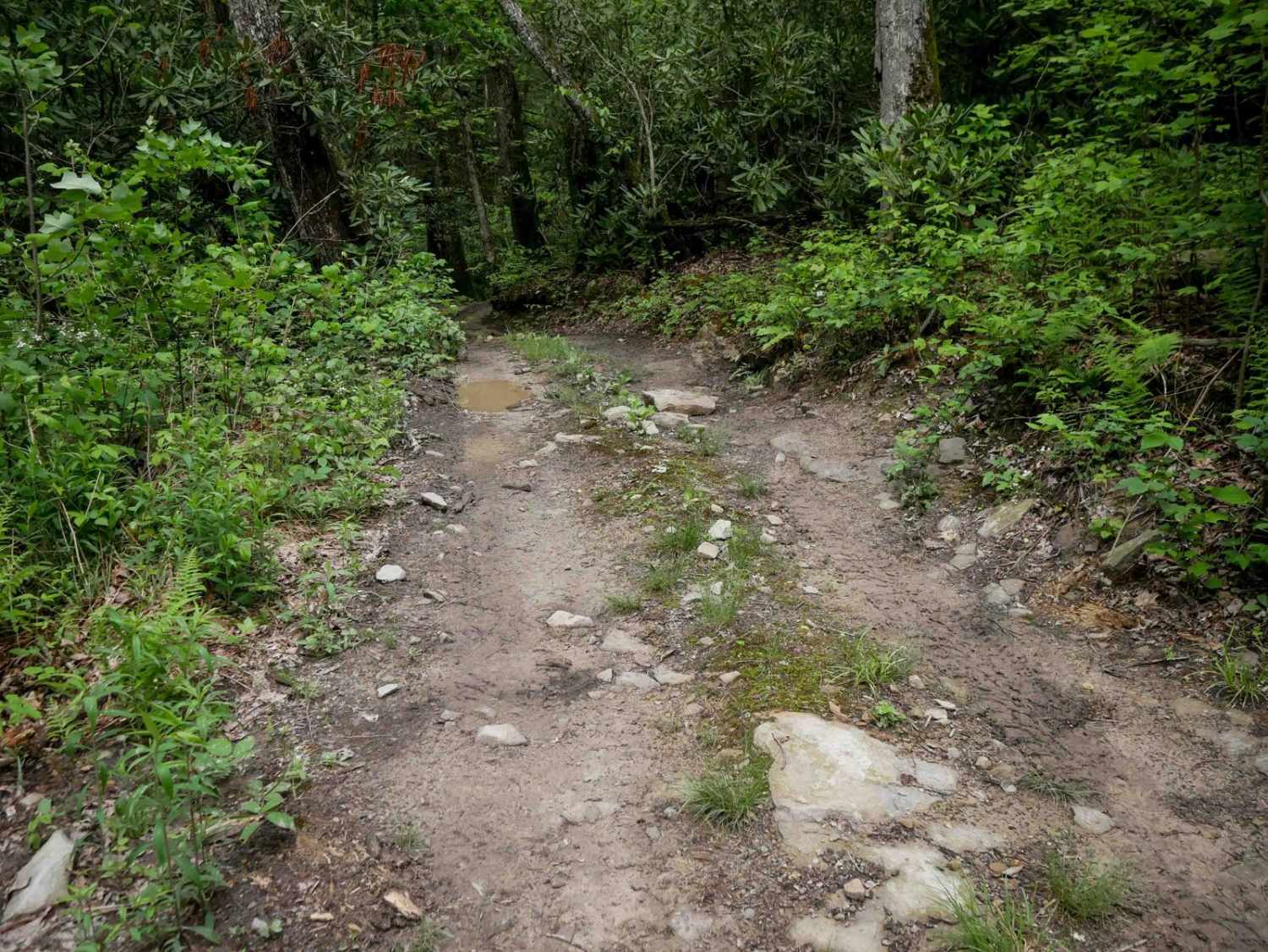

Difficulty
This moderately easy route has steep sections and small rock features, making it best suited for drivers who are confident with basic off-road techniques.
Status Reports
OP 50 can be accessed by the following ride types:
- SxS (60")
- ATV (50")
- Dirt Bike
OP 50 Map
Popular Trails


13 Connector
The onX Offroad Difference
onX Offroad combines trail photos, descriptions, difficulty ratings, width restrictions, seasonality, and more in a user-friendly interface. Available on all devices, with offline access and full compatibility with CarPlay and Android Auto. Discover what you’re missing today!