IR 26
Total Miles
4.4
Technical Rating
Best Time
Spring, Fall, Summer, Winter
Trail Type
60" Trail
Accessible By
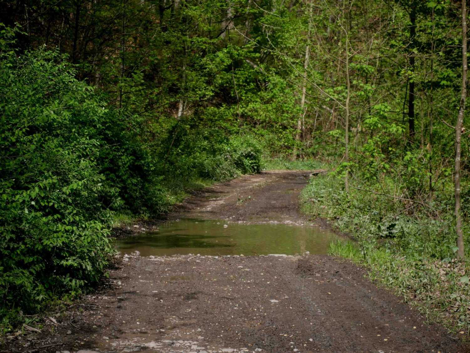
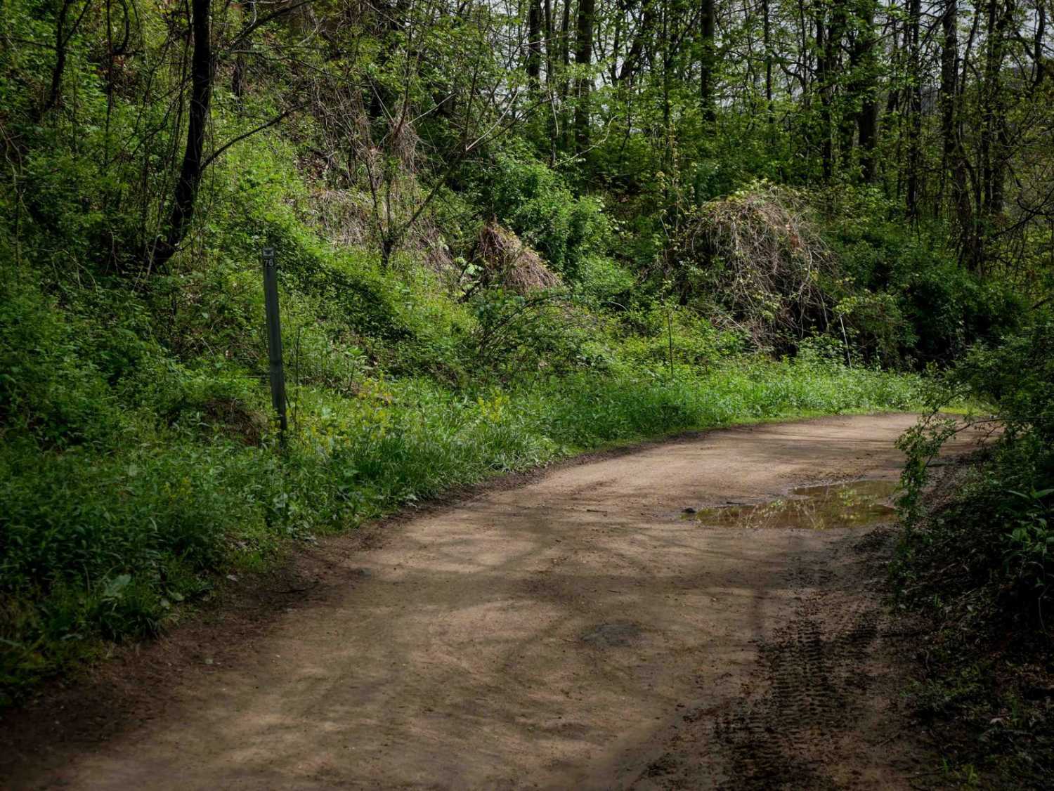
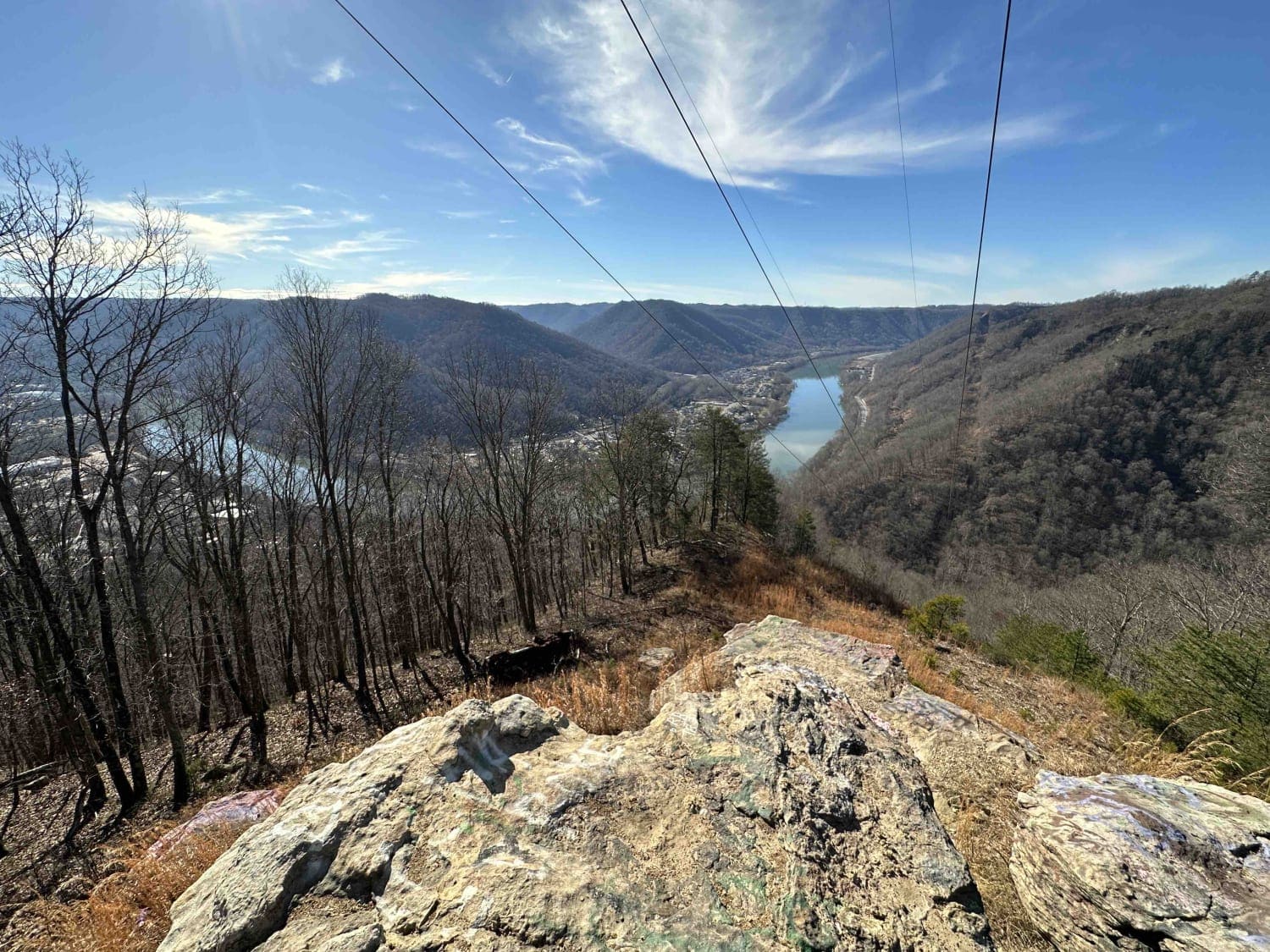
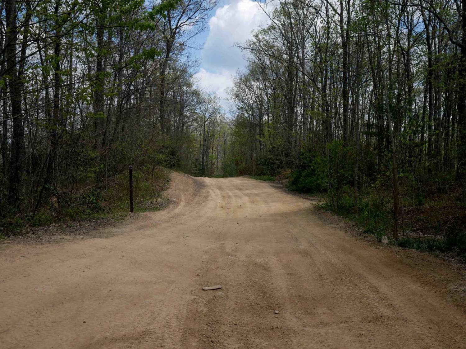
Trail Overview
Trail 26 is a scenic, easy route that runs approximately 4 miles. From the south end, it begins as a fairly flat trail that follows the contour of the mountainside for the first 2.5 miles, with narrow sections, shallow ruts, and occasional downed tree branches. The path is lined with scenic rock walls and winds through a lush forest. After intersecting with Trail 37, it climbs a moderate hill before descending steeply toward its northern end. While it features a bit more elevation change near the end, the trail remains manageable and suitable for most riders.
Photos of IR 26

Difficulty
This is an easy SxS route with steep sections and minimal rock. Note that this is considered More Difficult by Hatfield McCoy's rating system.
IR 26 can be accessed by the following ride types:
- SxS (60")
- ATV (50")
- Dirt Bike
IR 26 Map
Popular Trails
Devils Teacup

The onX Offroad Difference
onX Offroad combines trail photos, descriptions, difficulty ratings, width restrictions, seasonality, and more in a user-friendly interface. Available on all devices, with offline access and full compatibility with CarPlay and Android Auto. Discover what you’re missing today!