IB 39
Total Miles
1.3
Technical Rating
Best Time
Fall, Spring, Summer, Winter
Trail Type
High-Clearance 4x4 Trail
Accessible By
Trail Overview
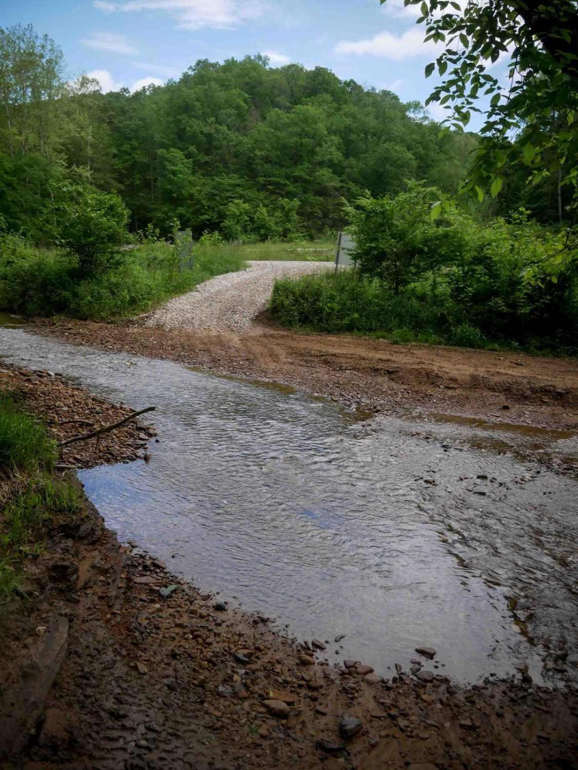
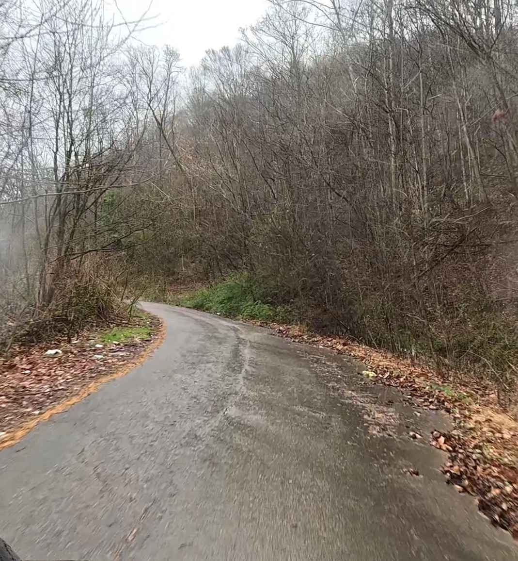
IB 39 is a 1.3-mile trail on the eastern edge of the trail system, starting at IB 15 on the north end near the train track, and ending at IB 45 on the south end. The trail features shallow ruts, loose rock, and embedded flat rock layers that do not add significant difficulty. It includes wide, smooth sections and passes near oil and gas infrastructure. The most northern portion is a bit steeper with more pronounced ruts and loose rock, with a shallow stream crossing through Ivy Creek. This mostly easy access corridor is suitable for drivers seeking a straightforward route with minimal challenge.
Photos of IB 39

Difficulty
This is an easy trail with minimal technical features. This is considered Moderate by Hatfield McCoy's rating system.
Status Reports
IB 39 can be accessed by the following ride types:
- High-Clearance 4x4
- SxS (60")
- ATV (50")
- Dirt Bike
IB 39 Map
Popular Trails


The onX Offroad Difference
onX Offroad combines trail photos, descriptions, difficulty ratings, width restrictions, seasonality, and more in a user-friendly interface. Available on all devices, with offline access and full compatibility with CarPlay and Android Auto. Discover what you’re missing today!