IB 18
Total Miles
3.1
Technical Rating
Best Time
Fall, Spring, Summer, Winter
Trail Type
High-Clearance 4x4 Trail
Accessible By
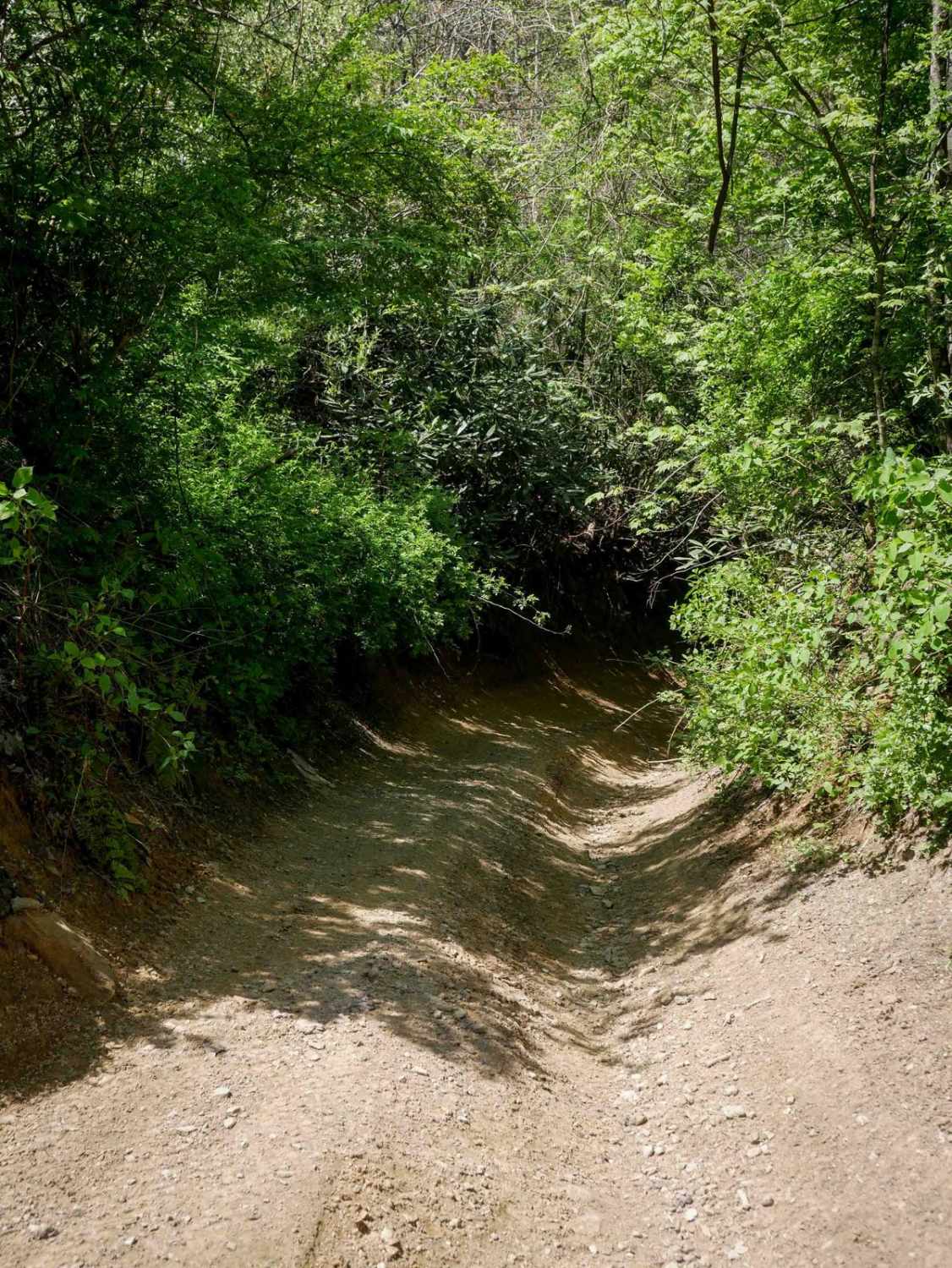
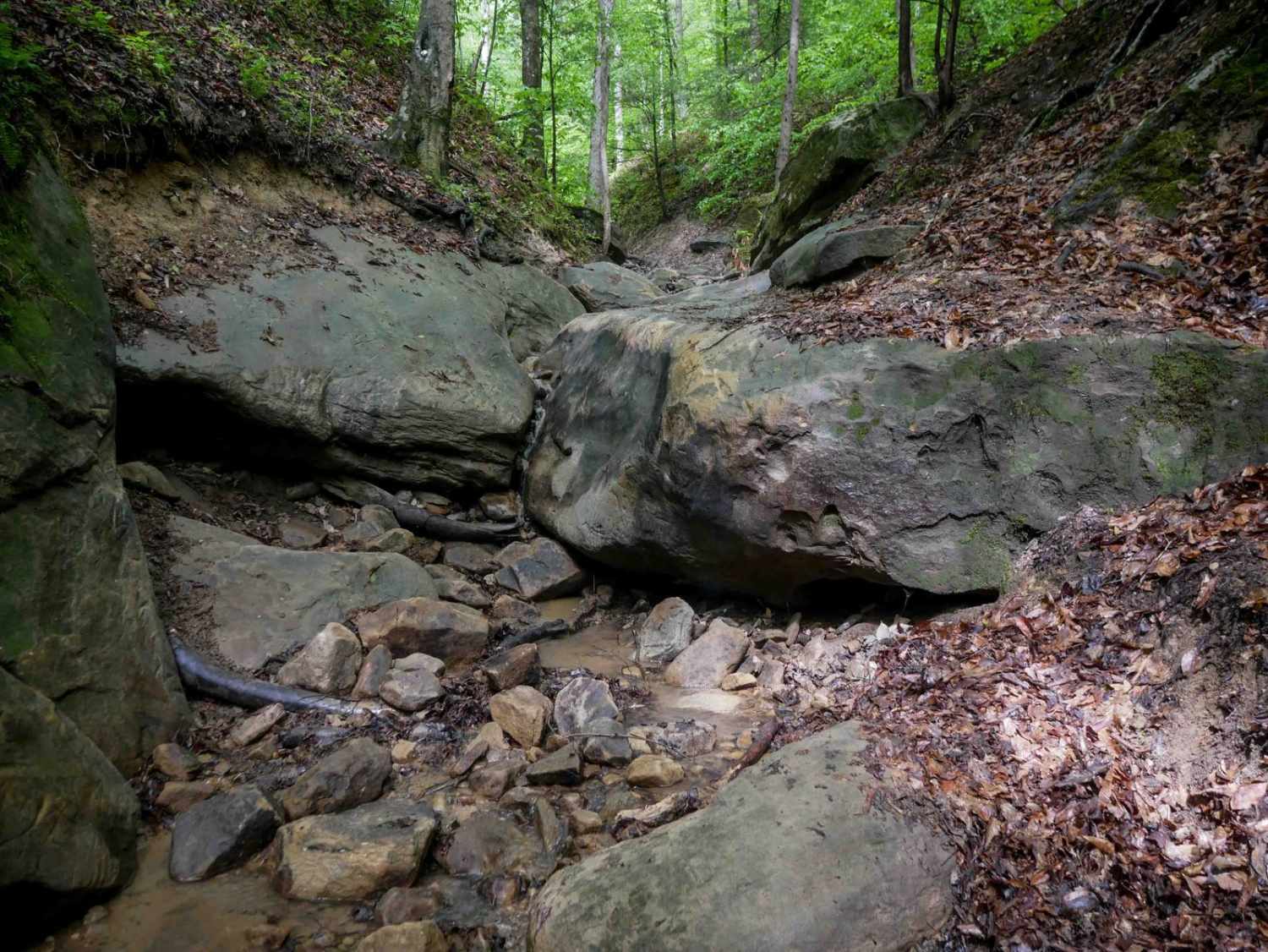
Trail Overview
IB 18 is a 3.1-mile trail running along the north side of the Ivy Branch system. It begins with a shallow, loose rocky stream crossing at the east entrance and follows a mostly smooth path with large puddles and a parallel ravine. The trail narrows slightly heading west, with occasional ruts and loose rock, but remains easy and manageable. It features wide, gradual switchbacks and ends with a steep descent on the west side.
Photos of IB 18
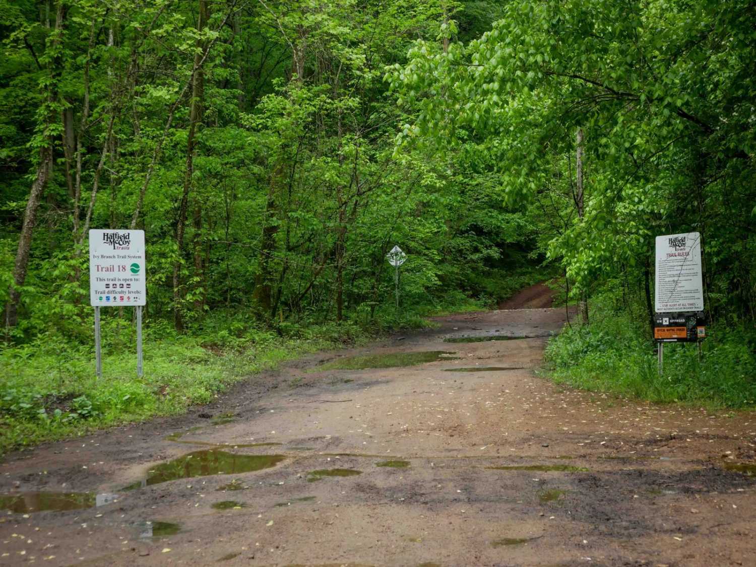

Difficulty
This is an easy access trail with minor ruts and rocks, ideal for all skill levels.
Status Reports
IB 18 can be accessed by the following ride types:
- High-Clearance 4x4
- SxS (60")
- ATV (50")
- Dirt Bike
IB 18 Map
Popular Trails

Westside Road
The onX Offroad Difference
onX Offroad combines trail photos, descriptions, difficulty ratings, width restrictions, seasonality, and more in a user-friendly interface. Available on all devices, with offline access and full compatibility with CarPlay and Android Auto. Discover what you’re missing today!