IB 10
Total Miles
3.7
Technical Rating
Best Time
Fall, Spring, Summer, Winter
Trail Type
High-Clearance 4x4 Trail
Accessible By
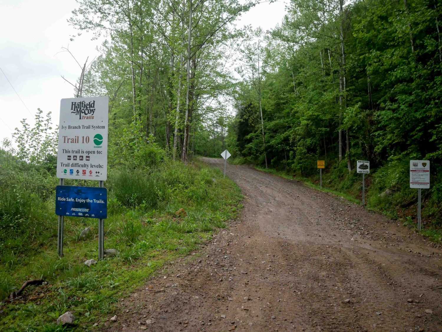
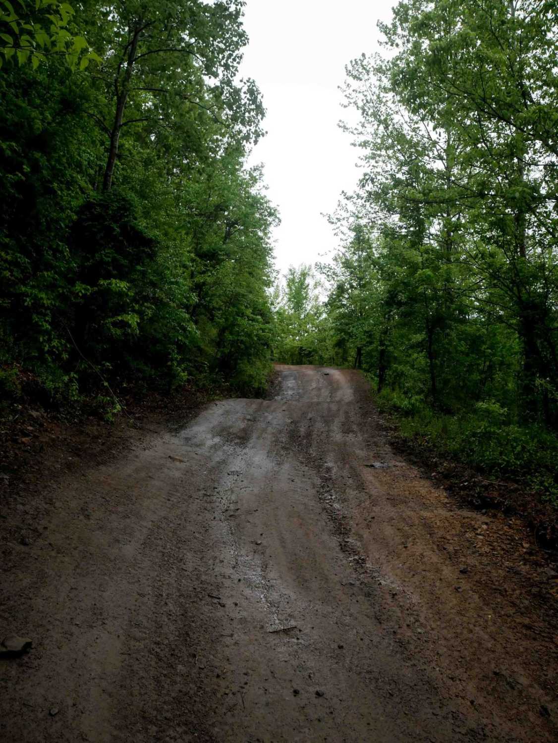
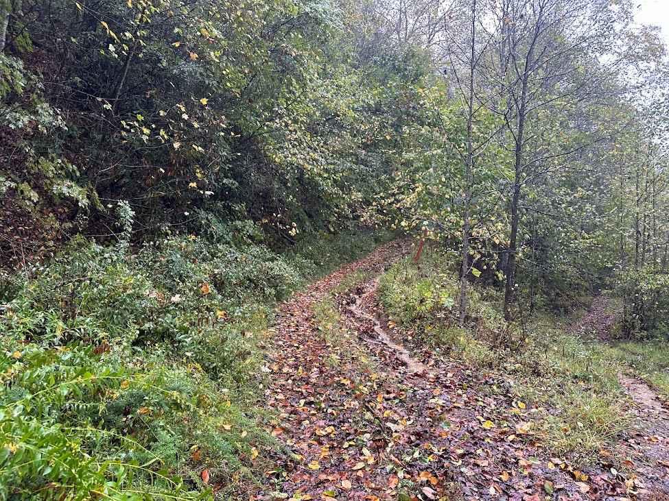
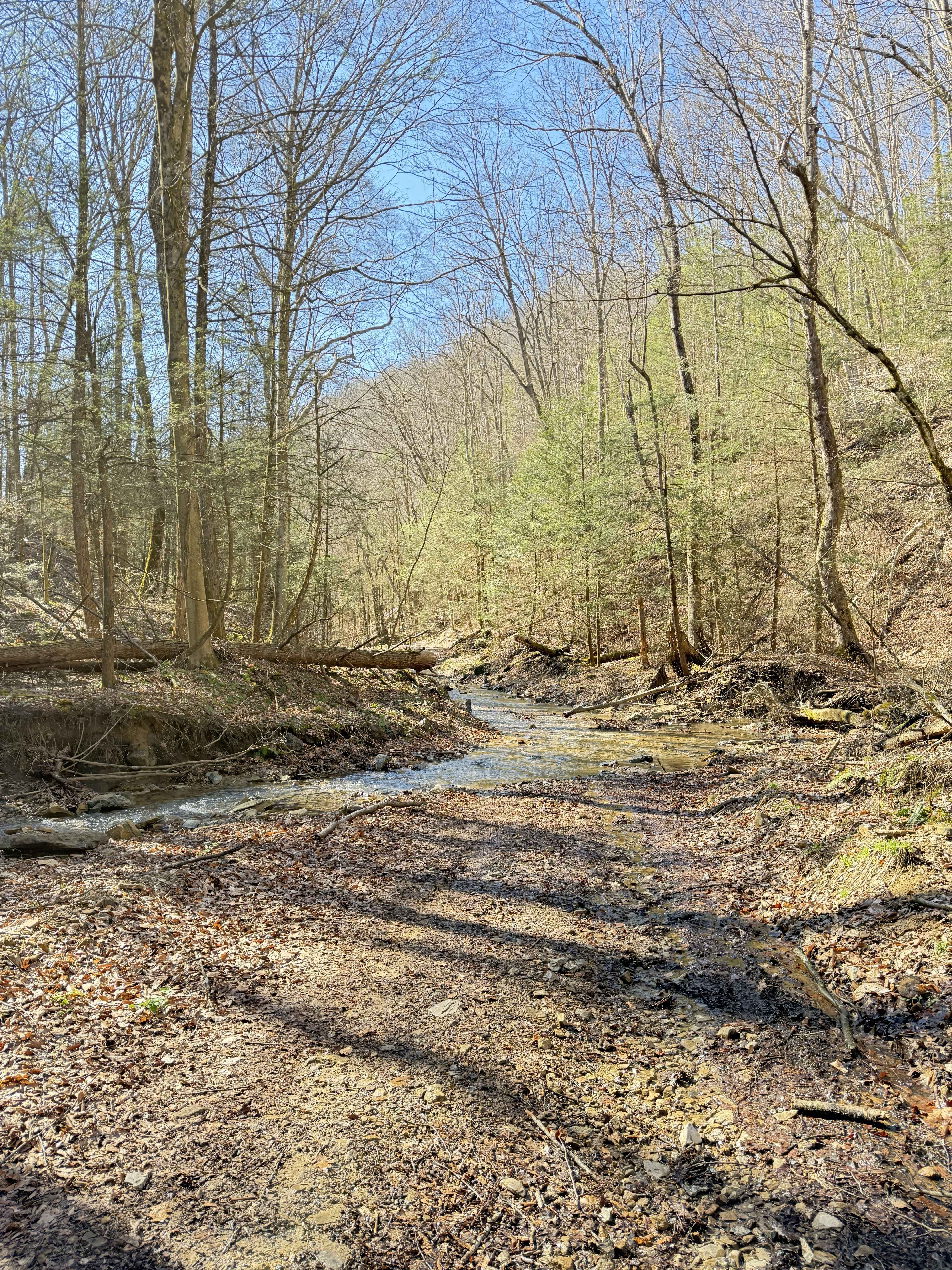
Trail Overview
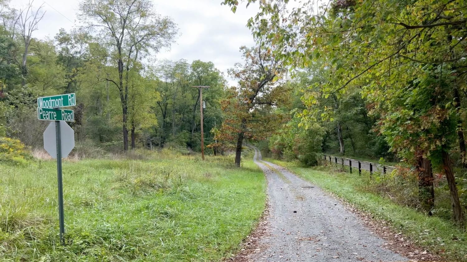
This 3.7-mile trail serves as a primary access route from the Ivy Branch parking lot. It is very wide and generally smooth, with only minor ruts and some sections of loose rock. A paved portion is located on the northern end. In the beginning, the trail climbs steadily to an overlook at 1,096 feet in elevation and is suitable for most off-road vehicles. Overall, IB 10 is an easy trail that provides scenic access deeper into the system.
Photos of IB 10
Difficulty
This is an easy trail with minor ruts and loose rock, ideal for all skill levels.
Status Reports
IB 10 can be accessed by the following ride types:
- High-Clearance 4x4
- SxS (60")
- ATV (50")
- Dirt Bike
IB 10 Map
Popular Trails

The onX Offroad Difference
onX Offroad combines trail photos, descriptions, difficulty ratings, width restrictions, seasonality, and more in a user-friendly interface. Available on all devices, with offline access and full compatibility with CarPlay and Android Auto. Discover what you’re missing today!