DA 54
Total Miles
5.7
Technical Rating
Best Time
Spring, Fall, Summer, Winter
Trail Type
60" Trail
Accessible By
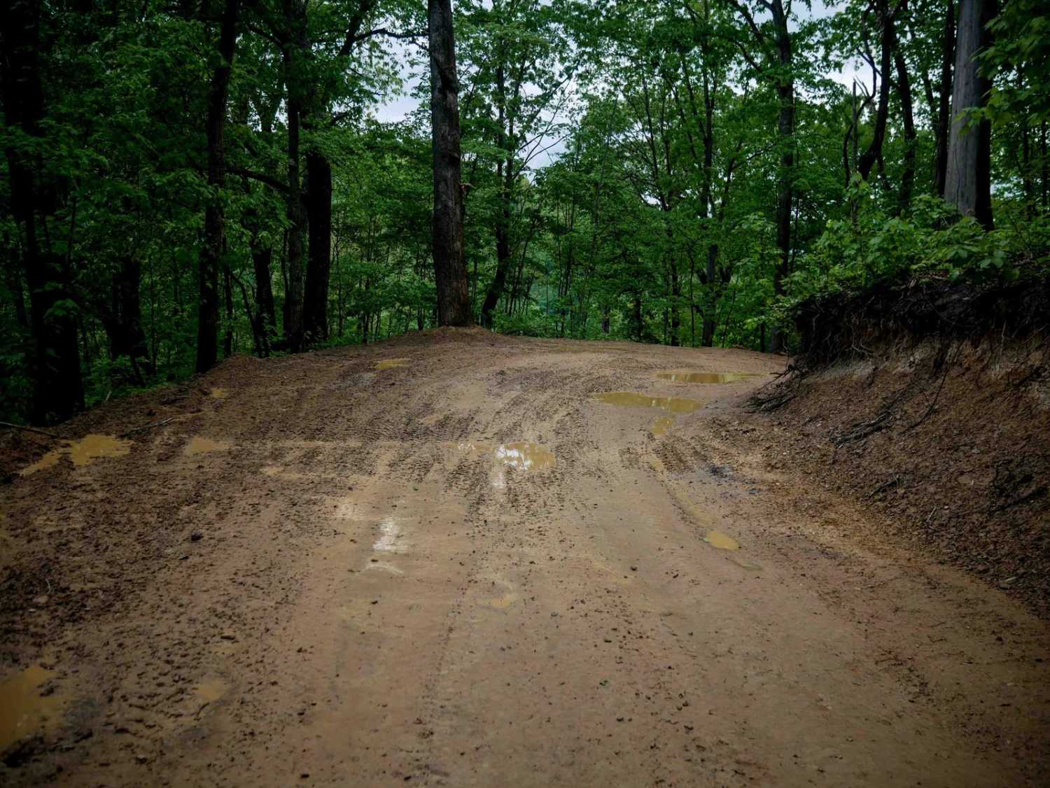
Trail Overview
DA 54 is a 6-mile continuation of DA 59, serving as a wide, smooth shelf trail with gradual grades and easy, flowing corners through lush forest. Numerous switchbacks and curves define the route, making it a scenic and comfortable ride. It provides access to several moderate and easy trails, including DA 80, 61, and 62. The east end terminates at Cole King Highway, where riders can cross underneath in the Devil Anse Tunnel to continue onto DA 52. Primarily a transfer trail, DA 54 offers an easy, steady ride suited for all skill levels.
Photos of DA 54

Difficulty
This is an easy trail with minimal rock, ruts, and steep grades, suitable for all skill levels. Note that this is considered More Difficult by Hatfield McCoy's rating system.
Status Reports
DA 54 can be accessed by the following ride types:
- SxS (60")
- ATV (50")
- Dirt Bike
DA 54 Map
Popular Trails

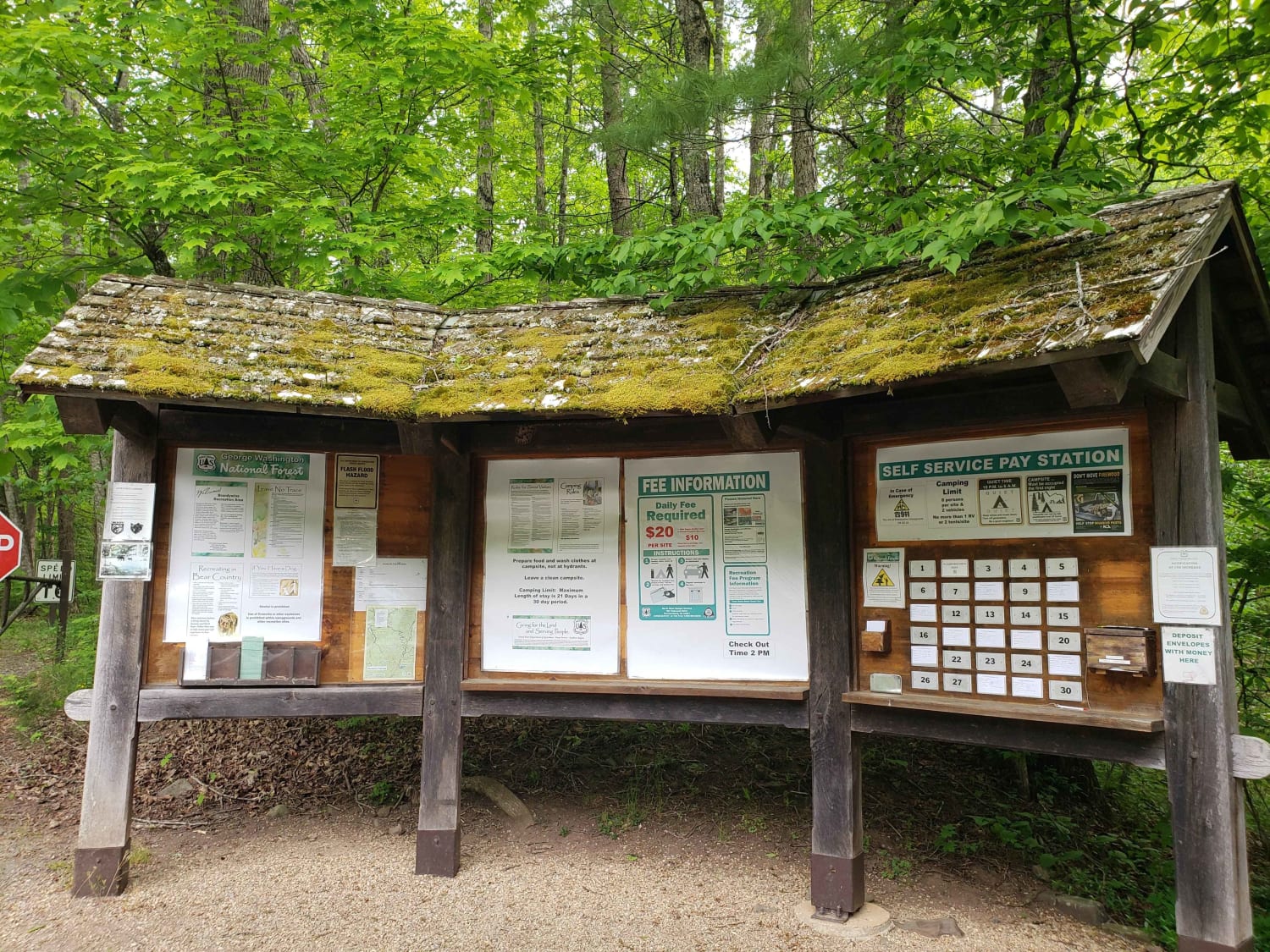
Brandywine Recreation Area

The onX Offroad Difference
onX Offroad combines trail photos, descriptions, difficulty ratings, width restrictions, seasonality, and more in a user-friendly interface. Available on all devices, with offline access and full compatibility with CarPlay and Android Auto. Discover what you’re missing today!