DA 177
Total Miles
1.2
Technical Rating
Best Time
Spring, Summer, Fall, Winter
Trail Type
Single Track
Accessible By
Trail Overview
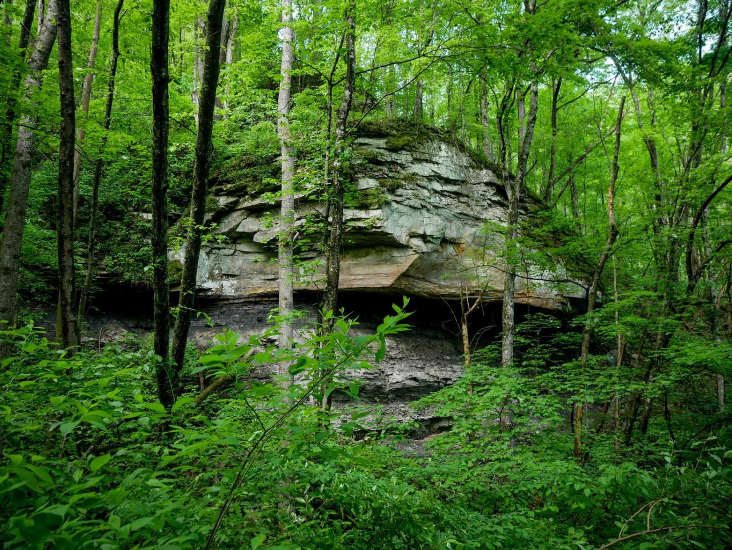
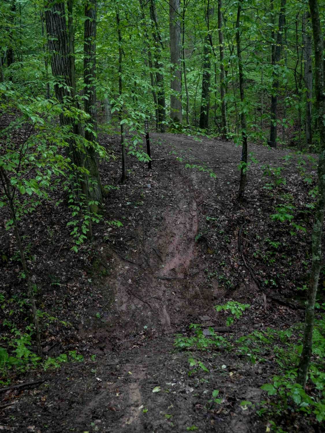
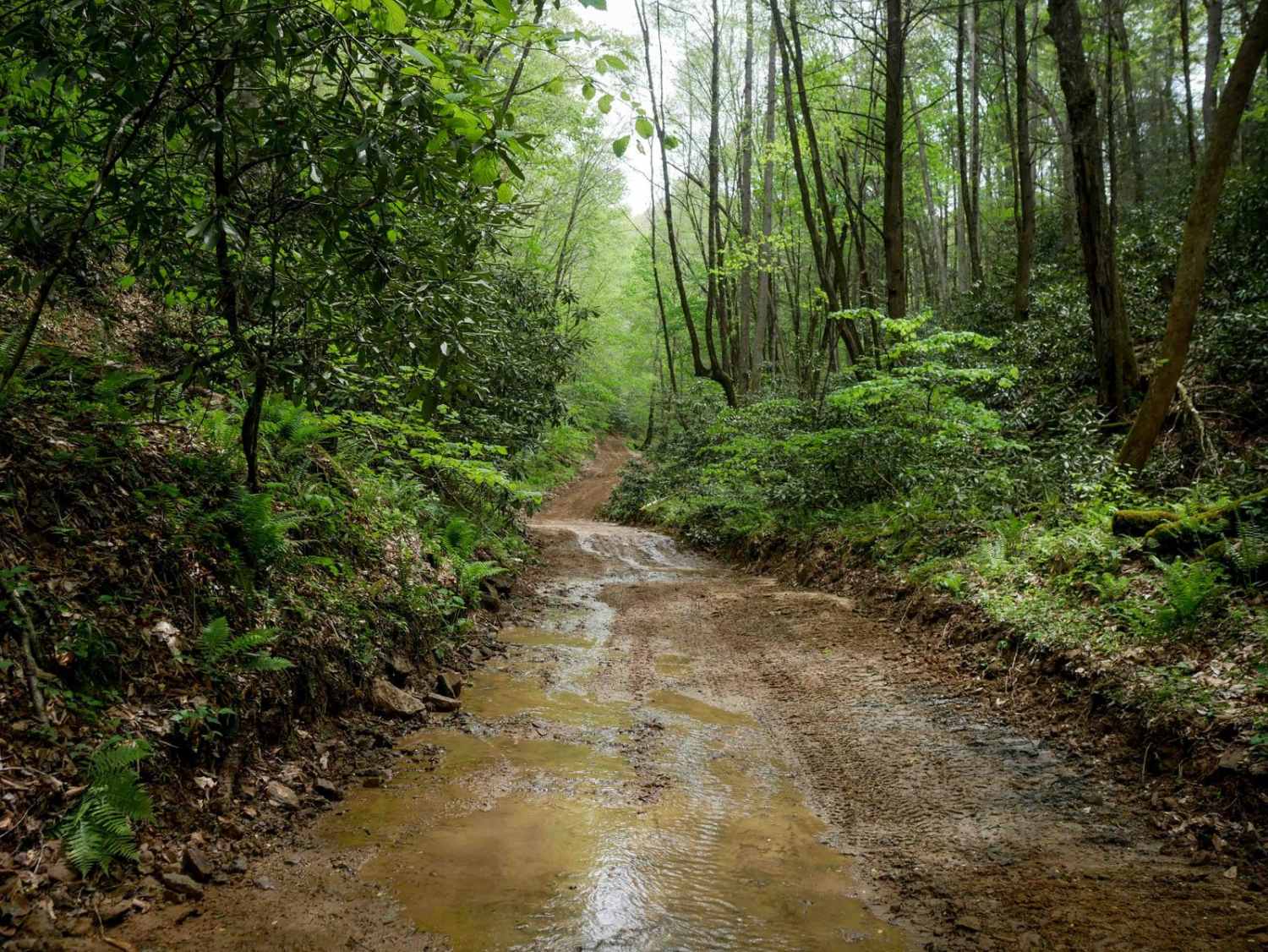
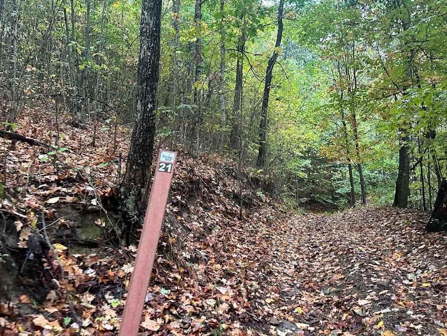
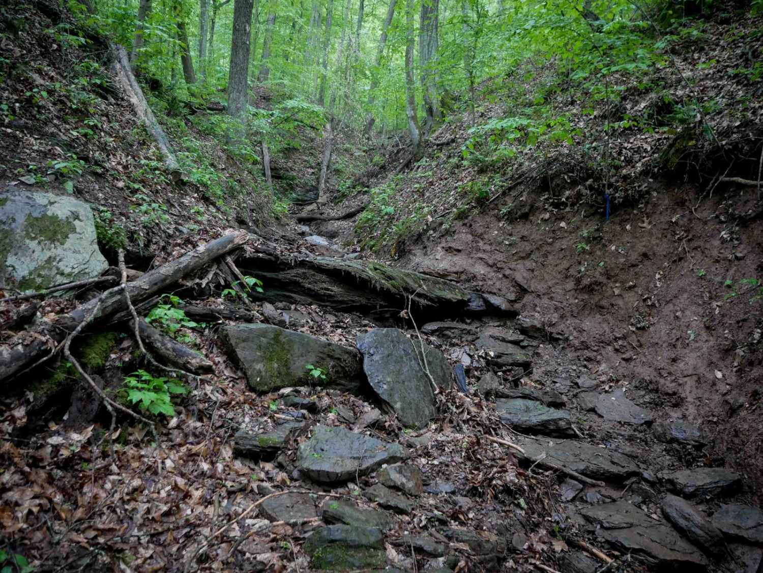
DA 177 is a 1.2-mile dirt bike trail that parallels DA 35. It's not marked as dirt bike only at the entrances, and thus has been widened to UTV width for much of its length, likely due to unintentional use by UTVs. It begins as a wide, flat shelf trail with deep muddy ruts, gravel, and minor embedded rock, bordered by scenic rock walls. As the trail progresses, it becomes narrower and more overgrown, with loose rock of various sizes and ruts increasing in frequency. It climbs gradually along a ravine, pushing into denser bushes and tighter terrain, eventually meeting back up with DA 35.
Photos of DA 177

Difficulty
This is an intermediate dirt bike trail due to deep muddy ruts, tight terrain through overgrown bushes, and loose rocky hills.
Status Reports
DA 177 can be accessed by the following ride types:
- Dirt Bike
DA 177 Map
Popular Trails
The onX Offroad Difference
onX Offroad combines trail photos, descriptions, difficulty ratings, width restrictions, seasonality, and more in a user-friendly interface. Available on all devices, with offline access and full compatibility with CarPlay and Android Auto. Discover what you’re missing today!