T50
Total Miles
0.1
Technical Rating
Best Time
Fall, Spring, Summer, Winter
Trail Type
Single Track
Accessible By
Trail Overview
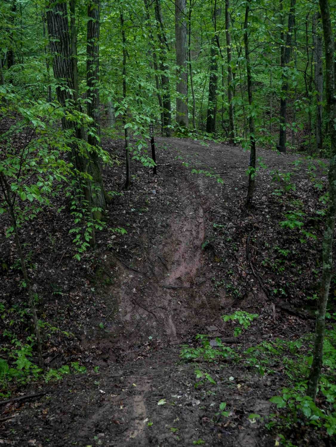
Trail T50 is a very short, 140-yard connector between Trails 46 and 49. It weaves through tight trees with slick dirt, steeply descending from north to south, with a steep V-bottom ravine crossing at its southern end. While it may not appear difficult, the steep grade can become extremely challenging or even impassable in wet conditions, especially without proper tires or if you lose momentum. This is best suited in dry conditions for more experienced riders.
Photos of T50

Difficulty
This is an intermediate trail with steep grades, ideal for more experienced riders. This is considered Most Difficult by Hatfield McCoy's rating system.
Status Reports
T50 can be accessed by the following ride types:
- Dirt Bike
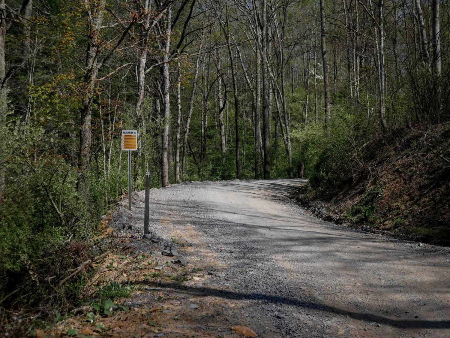
T50 Map
Popular Trails


The onX Offroad Difference
onX Offroad combines trail photos, descriptions, difficulty ratings, width restrictions, seasonality, and more in a user-friendly interface. Available on all devices, with offline access and full compatibility with CarPlay and Android Auto. Discover what you’re missing today!