B78
Total Miles
0.1
Technical Rating
Best Time
Fall, Spring, Summer, Winter
Trail Type
High-Clearance 4x4 Trail
Accessible By
Trail Overview
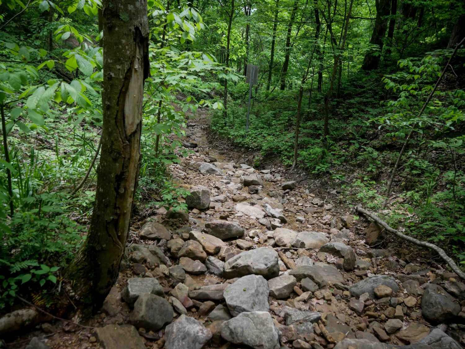
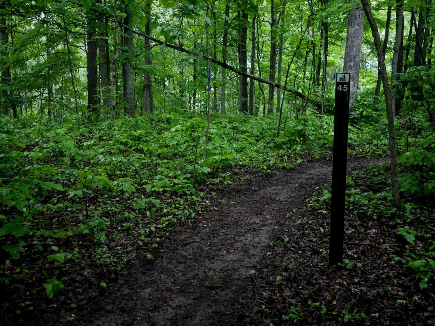
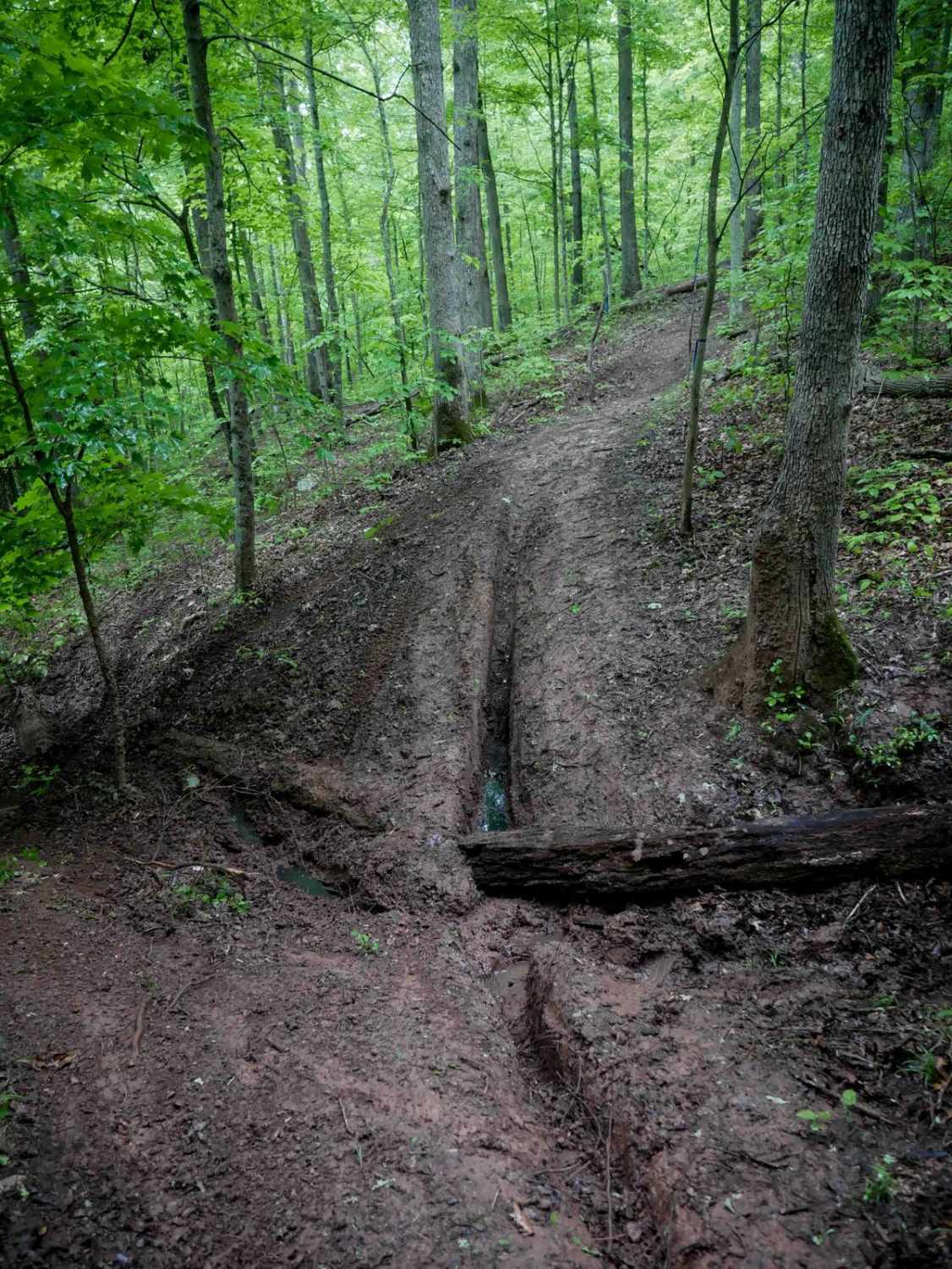
This short 124-yard advanced trail drops into a rocky ravine off of B19. The ravine is wet with a stream running through it and is filled with large boulders. The path is narrow with drop-offs and difficult footing, making it really steep as you navigate over the rocks. The trail is tightly lined with a few trees, making it narrower. While it is advanced due to the constant rocks and big boulders, it is short and not as steep as some of the other technical ravine routes in the trail system. You'll be descending the ravine from east to west. It ends on 15, crossing the road and continuing into the same ravine as trail B77.
Photos of B78

Difficulty
This is a more technical ravine route with big boulders and rock ledges that will require advanced skill. This is considered Extreme by Hatfield McCoy's rating system.
Status Reports
B78 can be accessed by the following ride types:
- High-Clearance 4x4
- SxS (60")
- ATV (50")
- Dirt Bike
B78 Map
Popular Trails


The onX Offroad Difference
onX Offroad combines trail photos, descriptions, difficulty ratings, width restrictions, seasonality, and more in a user-friendly interface. Available on all devices, with offline access and full compatibility with CarPlay and Android Auto. Discover what you’re missing today!