B29
Total Miles
2.4
Technical Rating
Best Time
Fall, Spring, Summer, Winter
Trail Type
High-Clearance 4x4 Trail
Accessible By
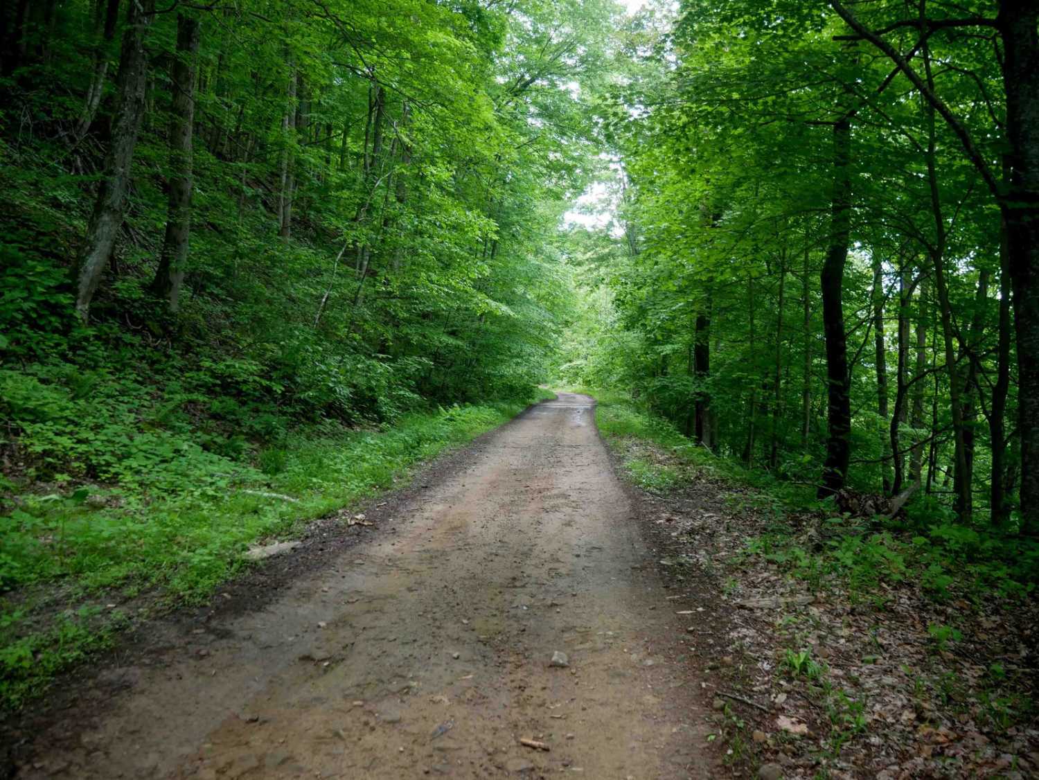
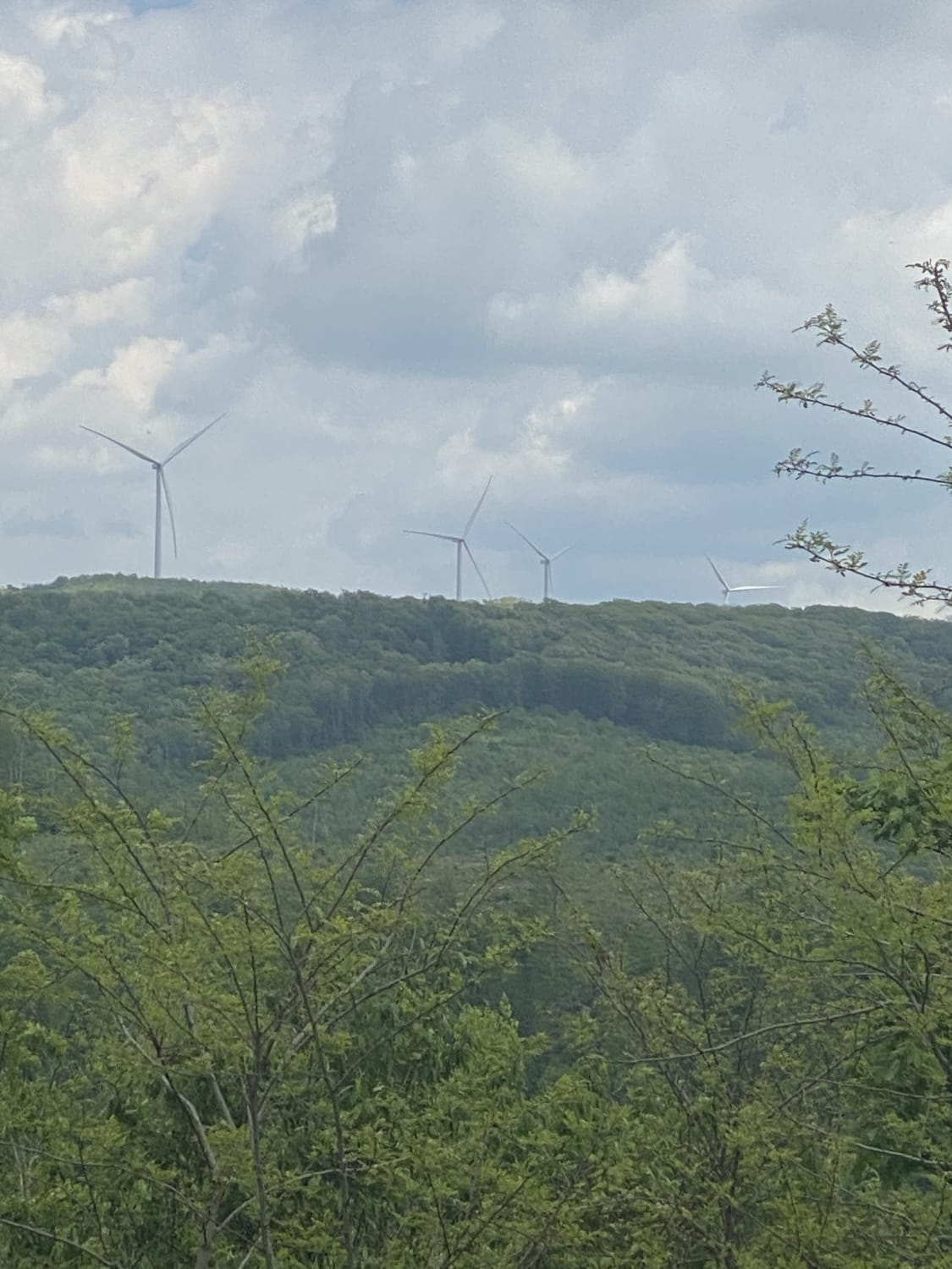
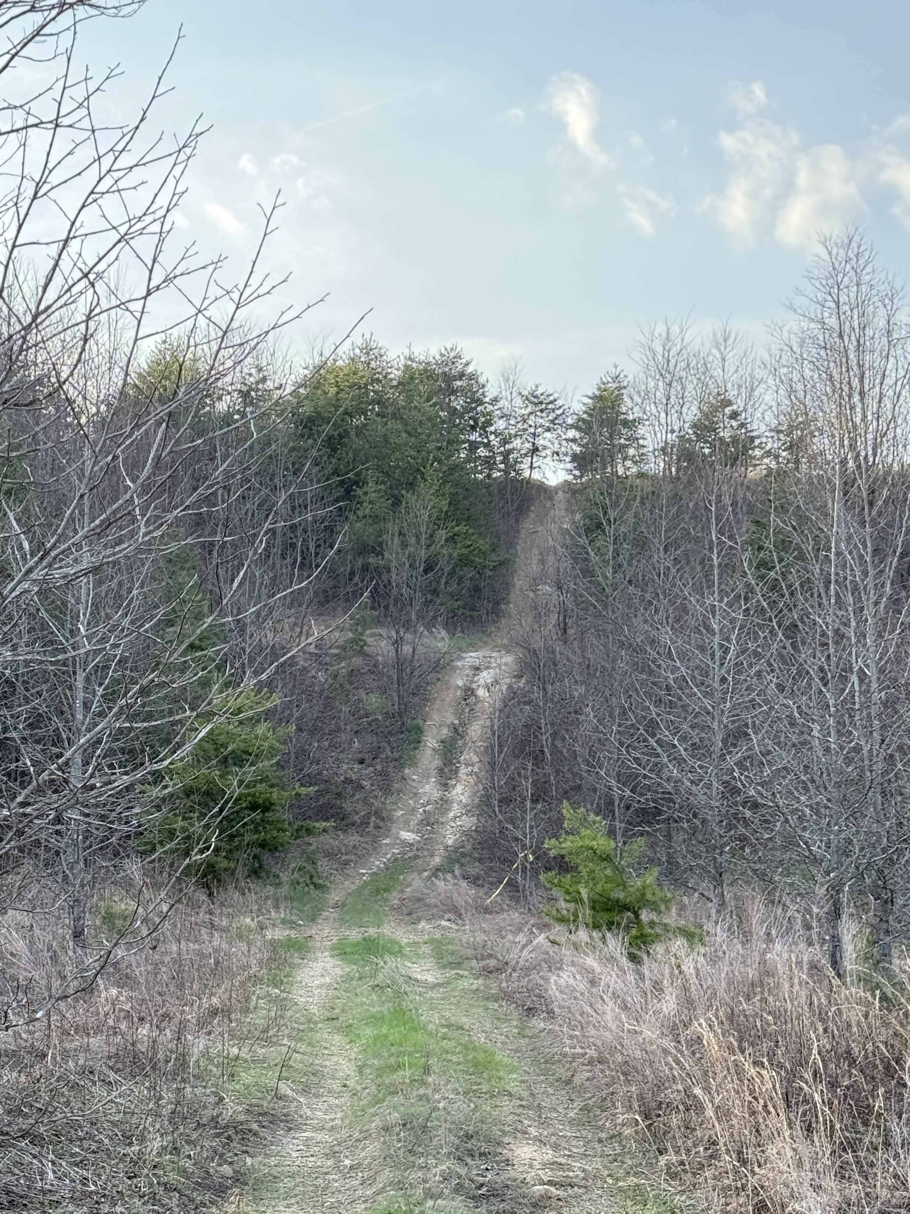
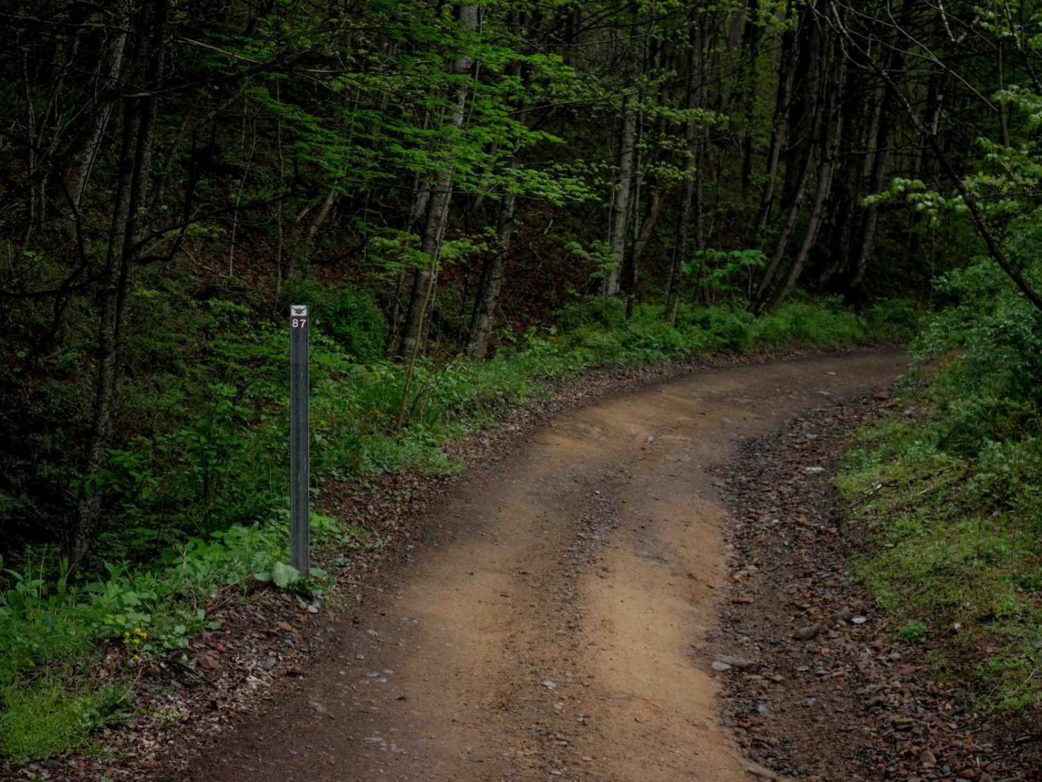
Trail Overview
This 2.4-mile loop is mostly easy and smooth, with wide, gradual stretches and a few sections of loose rock. The trail passes some oil and gas infrastructure before transitioning into a narrower, steeper climb along a shelf cut into the hillside. This section is lined with moss-covered roots and thick undergrowth on the banked slope. The most challenging part is a steeper climb with loose rock and a tight switchback, but even this is manageable for most drivers. Overall, the trail remains easy and accessible.
Photos of B29

Difficulty
This is overall an easy trail with minor rocky and steep spots, but ideal for all skill levels. This is considered Moderate by Hatfield McCoy's rating system.
Status Reports
B29 can be accessed by the following ride types:
- High-Clearance 4x4
- SxS (60")
- ATV (50")
- Dirt Bike
B29 Map
Popular Trails
Nettie to Richwood

The onX Offroad Difference
onX Offroad combines trail photos, descriptions, difficulty ratings, width restrictions, seasonality, and more in a user-friendly interface. Available on all devices, with offline access and full compatibility with CarPlay and Android Auto. Discover what you’re missing today!