B20
Total Miles
3.3
Technical Rating
Best Time
Fall, Spring, Summer, Winter
Trail Type
High-Clearance 4x4 Trail
Accessible By
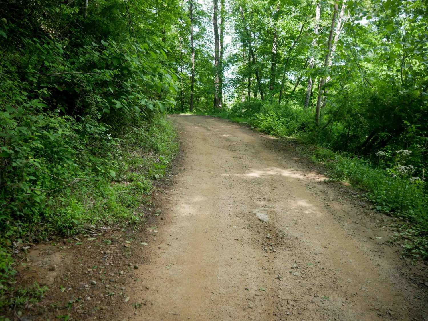
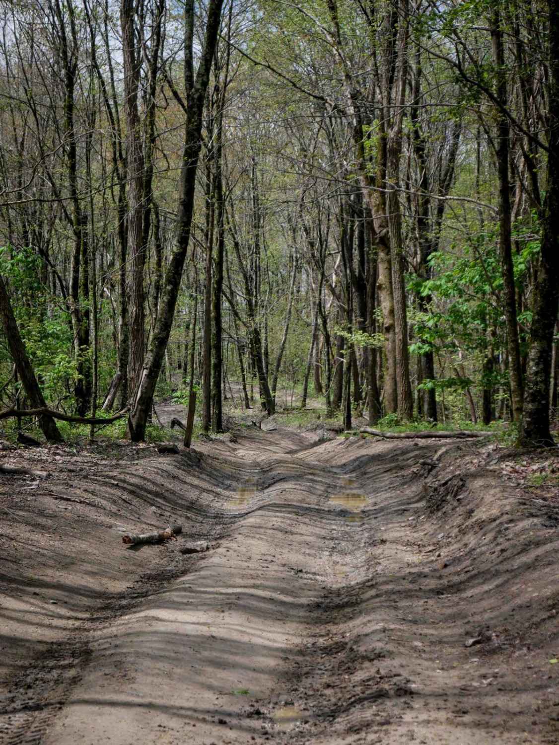
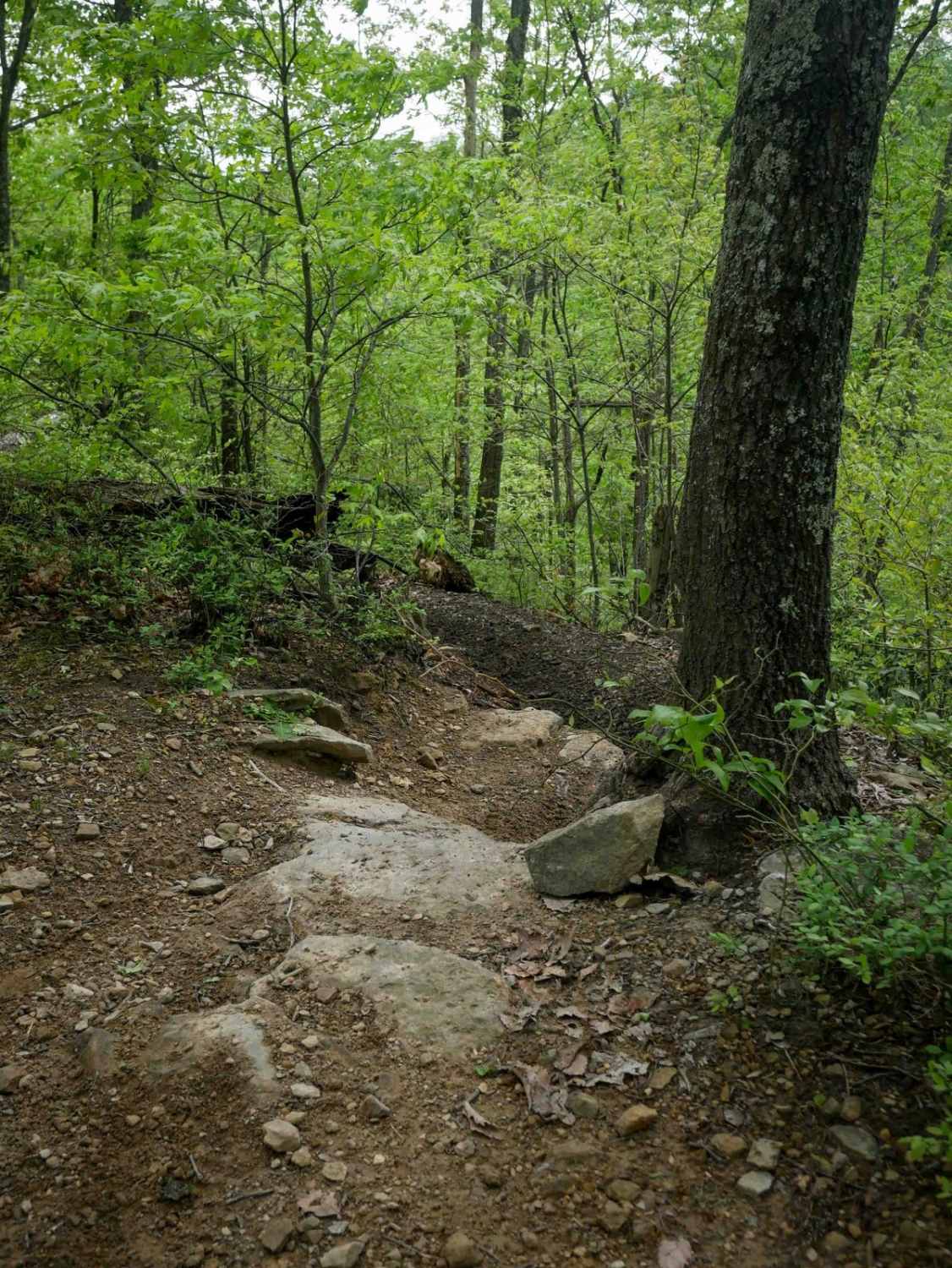
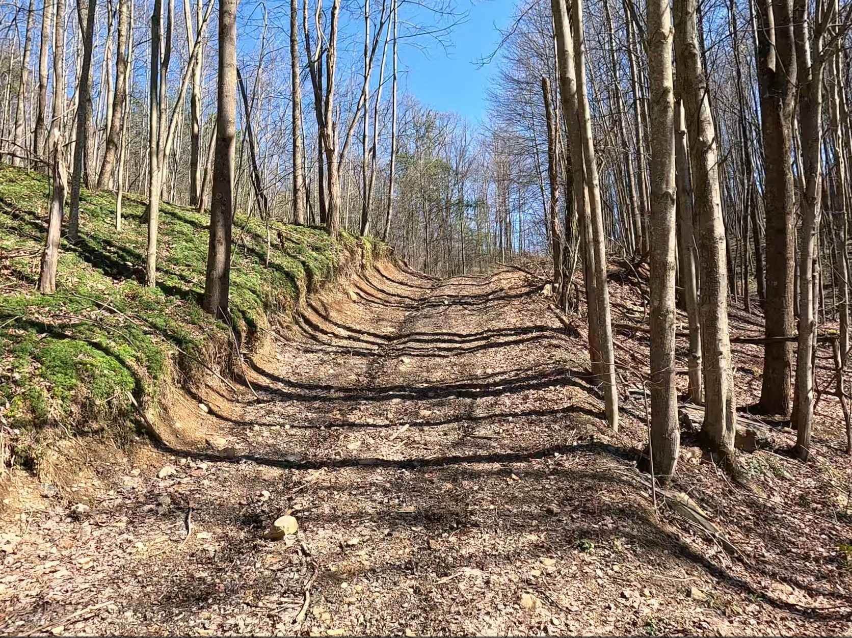
Trail Overview
Trail B20 is a 3.3-mile easy access corridor located along the southern edge of the trail system. It winds gradually through lush woods with consistent curves and moderate elevation change. The route features waterbars, shallow ruts, and occasional embedded or loose rock, but remains manageable for most drivers. The trail follows a wide shelf path up the hillside and provides access to several more advanced trails as well as nearby single-track. Its gentle terrain and scenic forest make it a solid option for connecting deeper into the system.
Photos of B20

Difficulty
This is overall an easy trail with several rockier spots, but ideal for all skill levels.
Status Reports
B20 can be accessed by the following ride types:
- High-Clearance 4x4
- SxS (60")
- ATV (50")
- Dirt Bike
B20 Map
Popular Trails

The onX Offroad Difference
onX Offroad combines trail photos, descriptions, difficulty ratings, width restrictions, seasonality, and more in a user-friendly interface. Available on all devices, with offline access and full compatibility with CarPlay and Android Auto. Discover what you’re missing today!