Winchester Creek
Total Miles
54.4
Technical Rating
Best Time
Trail Type
Full-Width Road
Accessible By
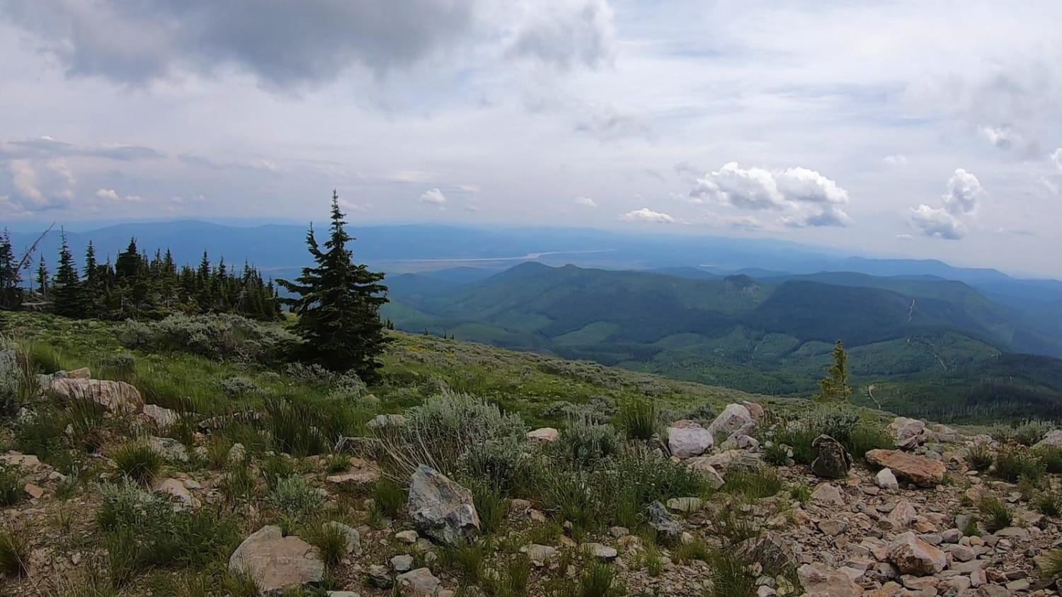
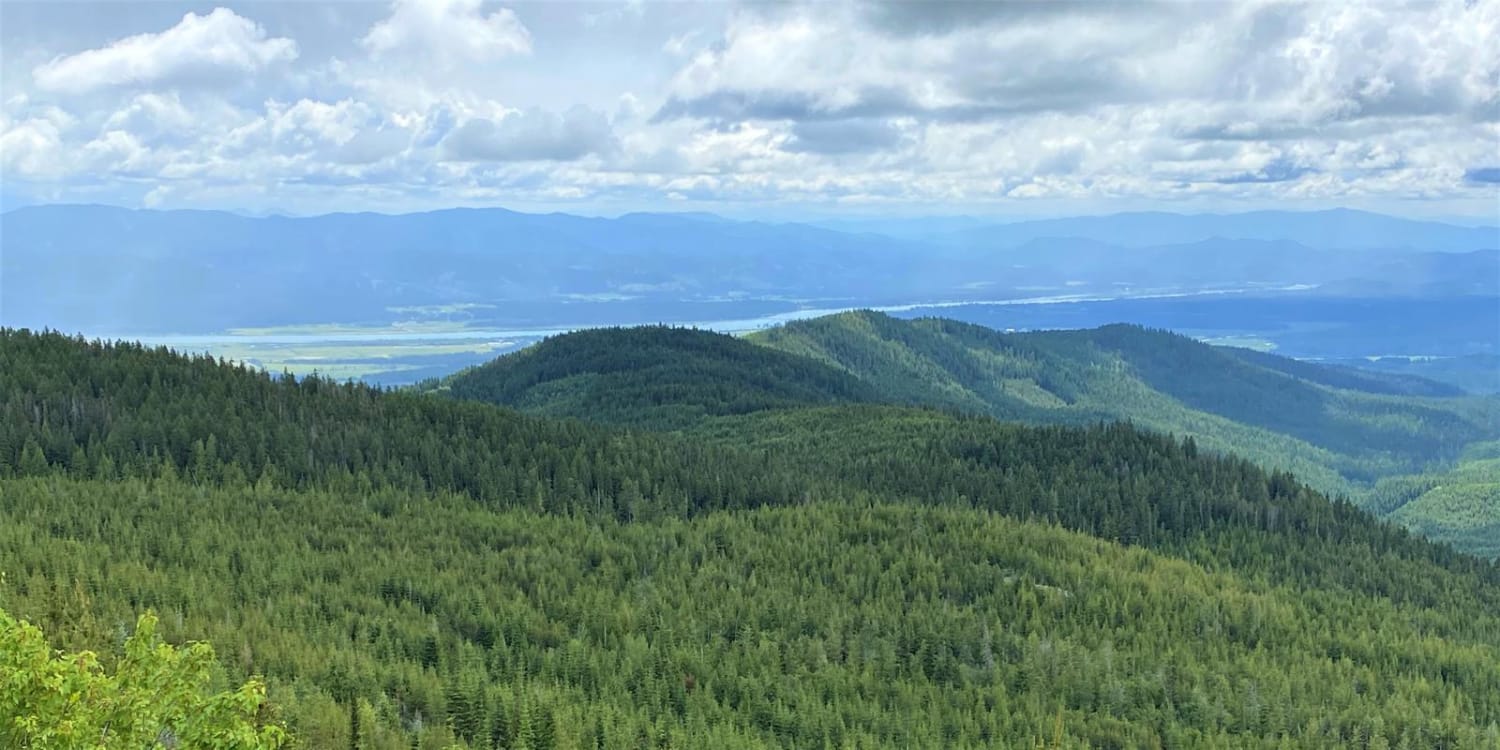
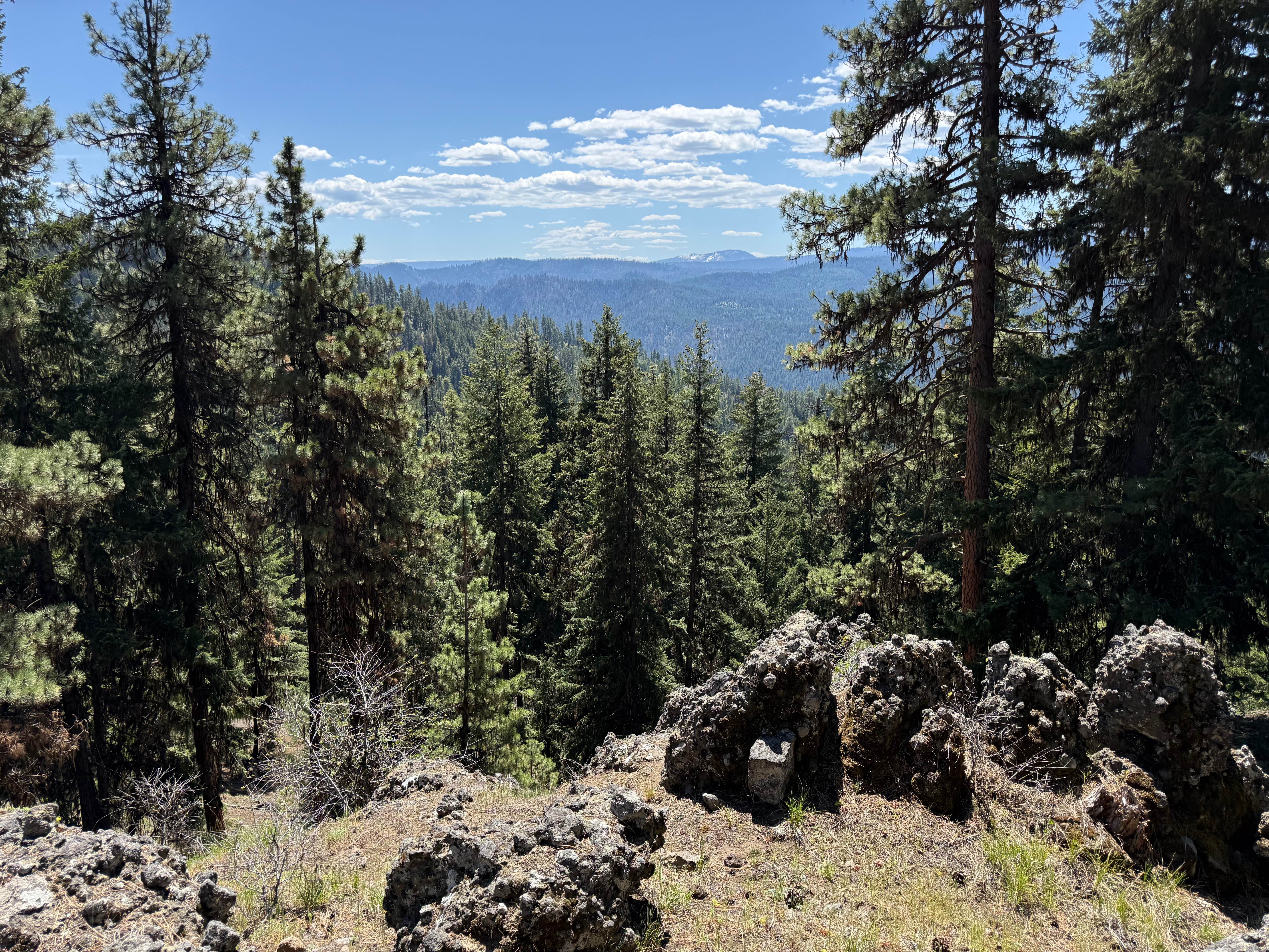
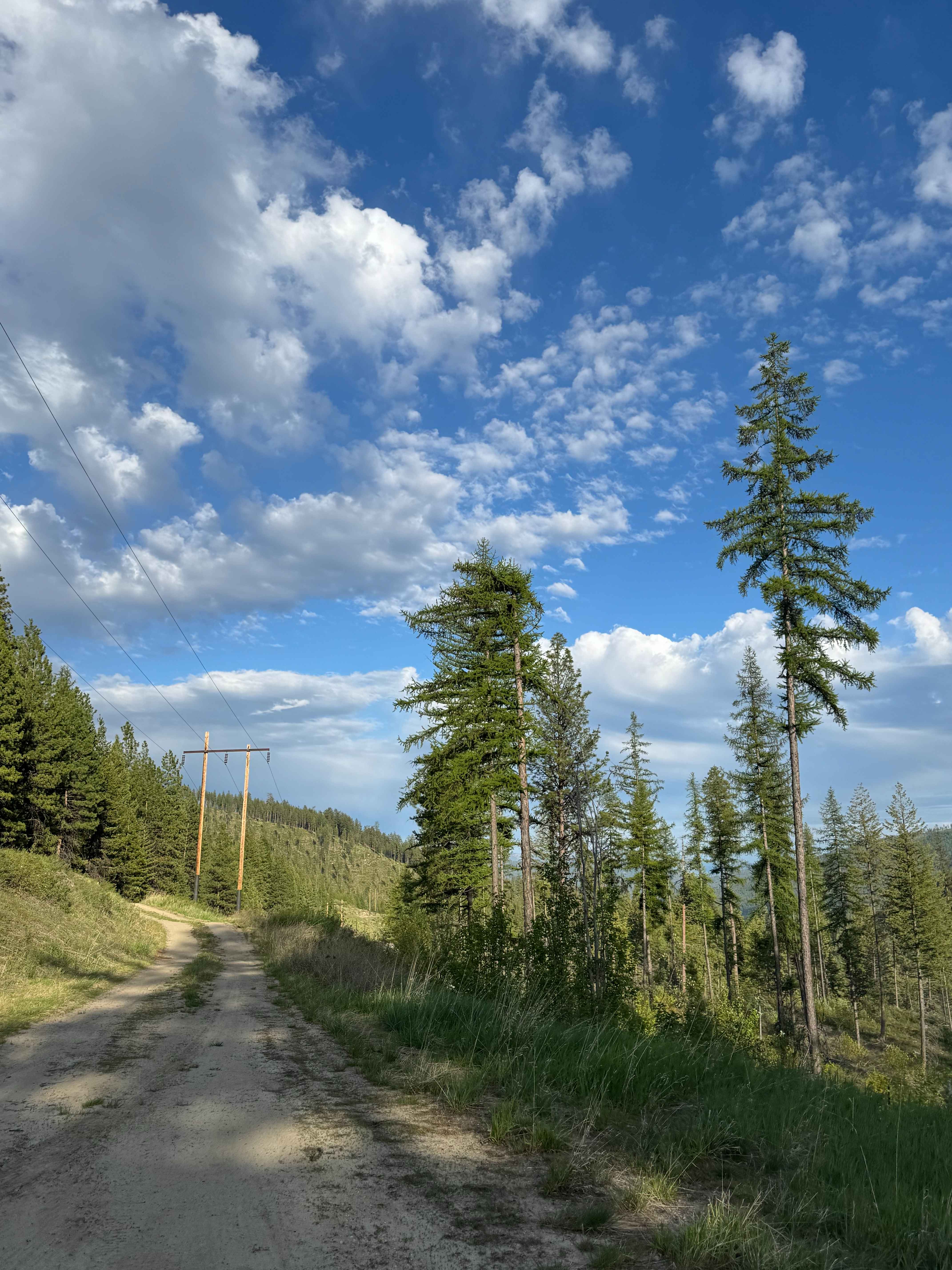
Trail Overview
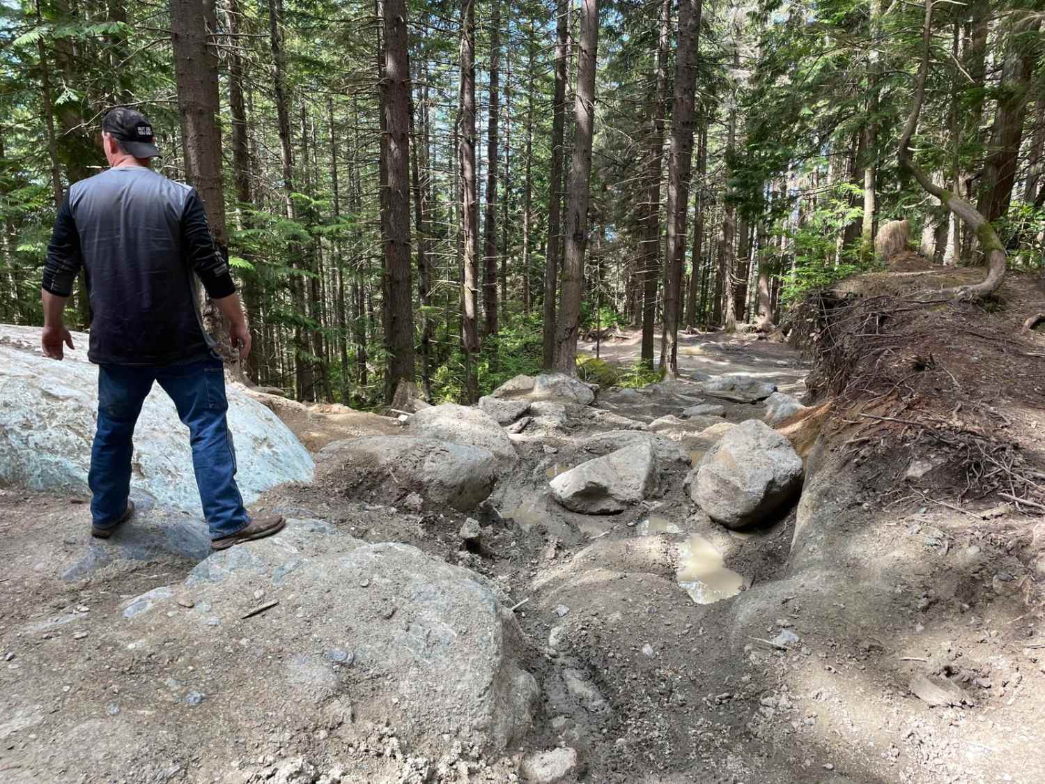
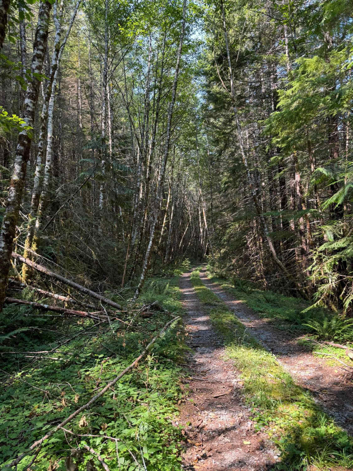
Portions of the route are paved roads in the valley area and on Flowery Trail Rd. Once you are in the forest, roads are gravelled. Gravel roads may be dusty, unless it has rained recently. 2 mile road up to Calispell Peak is rocky, rough, with a couple of steeper pitches to negotiate. Novice riders should take their time ngotiating this portion of the route.
Photos of Winchester Creek
Status Reports
Winchester Creek can be accessed by the following ride types:
- High-Clearance 4x4
- SUV
- SxS (60")
- ATV (50")
- Dirt Bike
Winchester Creek Map
Popular Trails
Old Sherman Highway
Ron's Run
Canyon Cr - Forest Road 3700000
The onX Offroad Difference
onX Offroad combines trail photos, descriptions, difficulty ratings, width restrictions, seasonality, and more in a user-friendly interface. Available on all devices, with offline access and full compatibility with CarPlay and Android Auto. Discover what you’re missing today!