Schooley Creek
Total Miles
2.5
Technical Rating
Best Time
Spring, Summer, Fall
Trail Type
Full-Width Road
Accessible By
Trail Overview
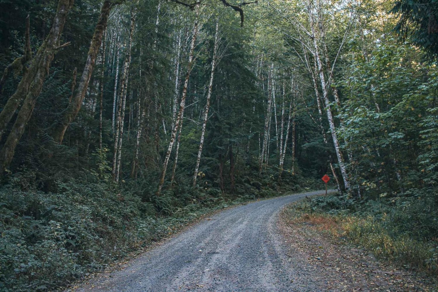
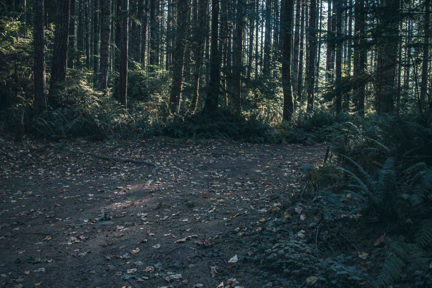
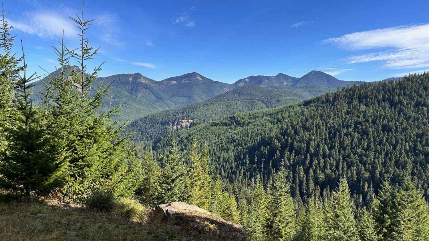
Schooley Creek road runs through the Gifford Pinchot National Forest. It is an easy gravel road, but there are parts of it that have smooth dirt that can get very dusty during the dry seasons, and muddy during the wet. There are a couple of camp spots on this route, most being right along the road.
Photos of Schooley Creek
Difficulty
Not Winter Maintained
Status Reports
Schooley Creek can be accessed by the following ride types:
- High-Clearance 4x4
- SUV
- SxS (60")
- ATV (50")
- Dirt Bike
Schooley Creek Map
Popular Trails
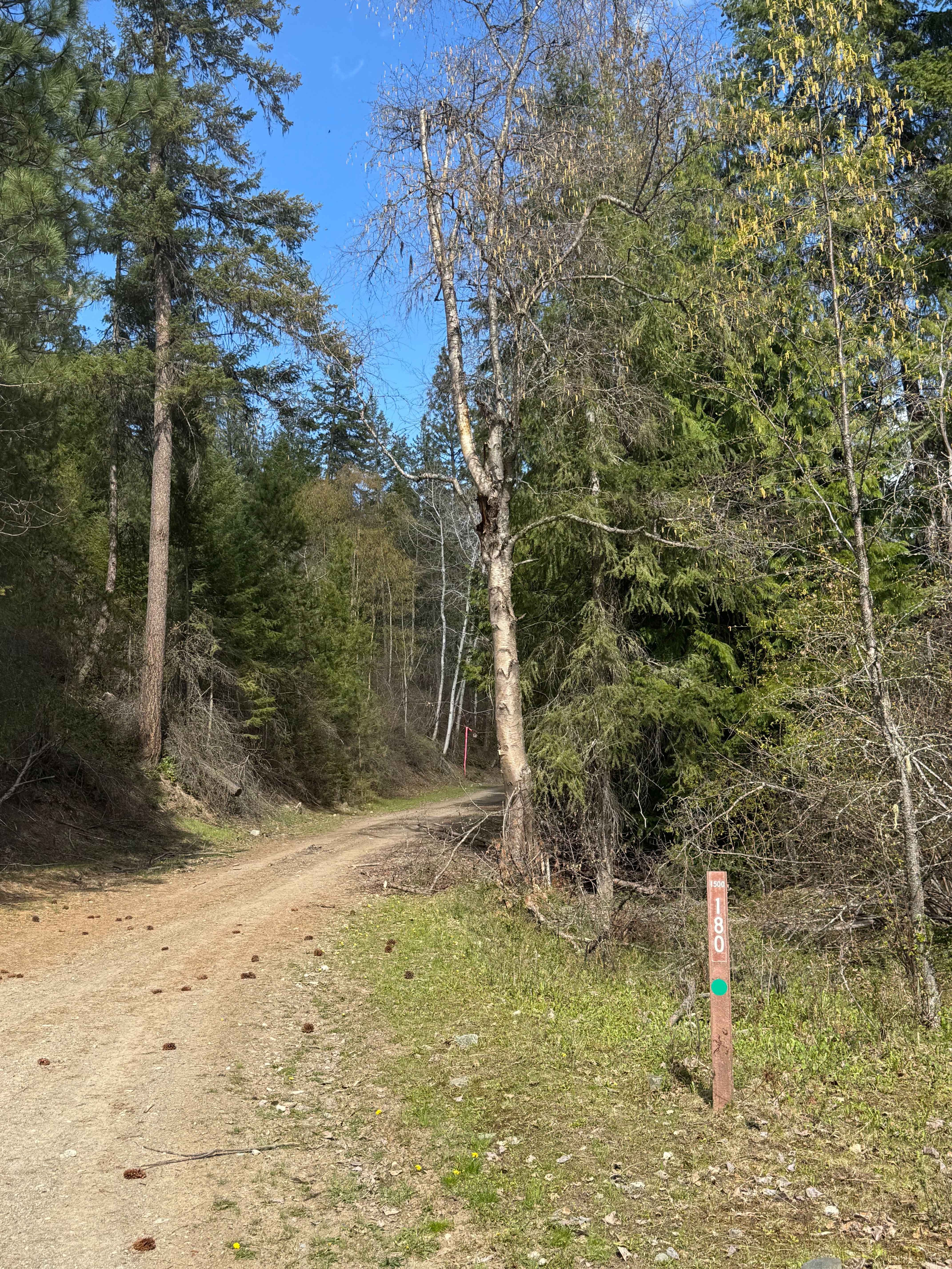
Deep Creek - FS 1500-180

Moonlight Canyon

First Creek 4x4 Loop
The onX Offroad Difference
onX Offroad combines trail photos, descriptions, difficulty ratings, width restrictions, seasonality, and more in a user-friendly interface. Available on all devices, with offline access and full compatibility with CarPlay and Android Auto. Discover what you’re missing today!