Sandy Saddle
Total Miles
1.2
Technical Rating
Best Time
Winter, Fall, Summer, Spring
Trail Type
60" Trail
Accessible By
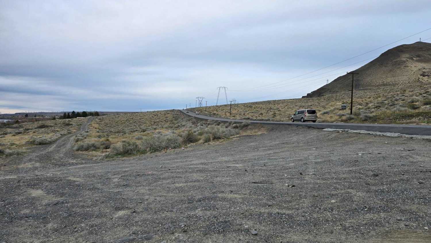
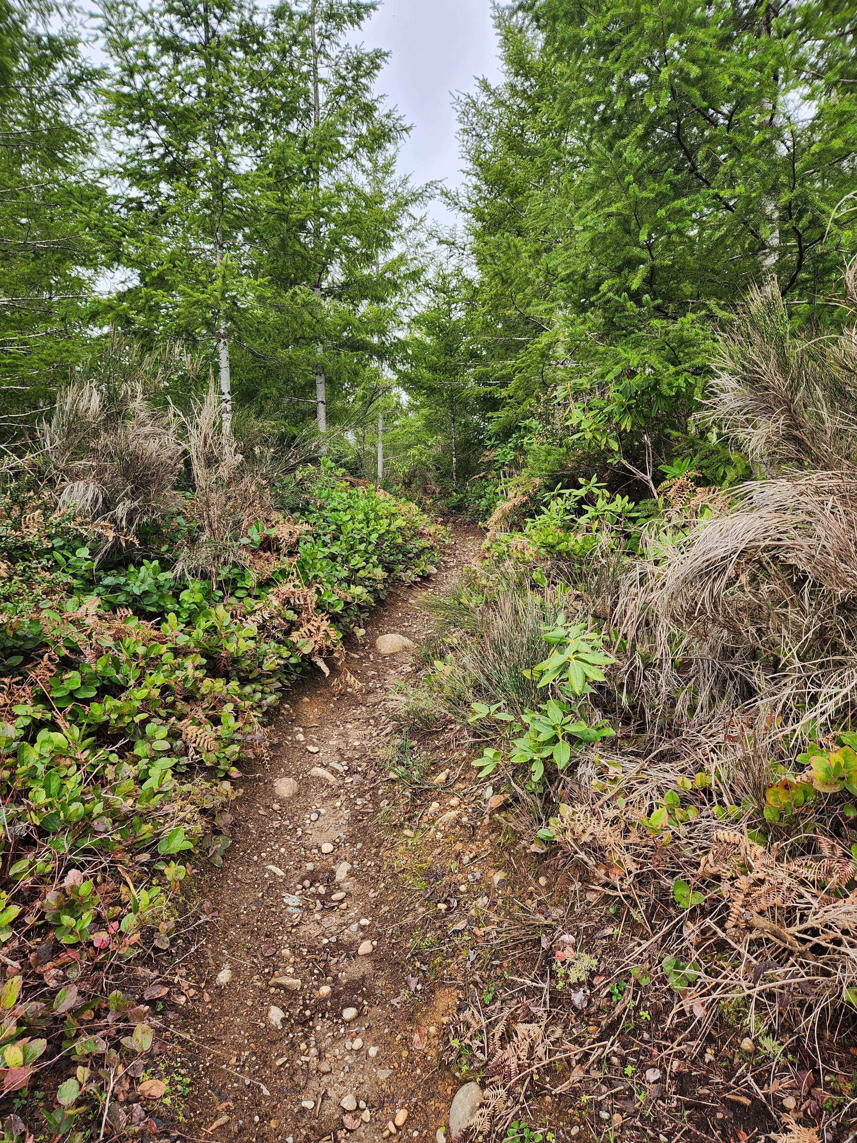
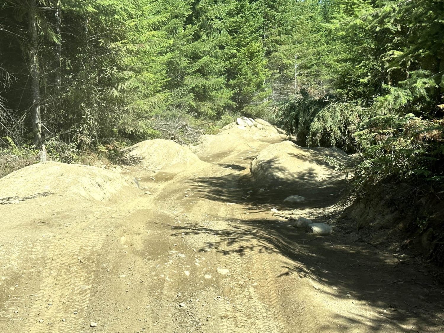
Trail Overview
The trail offers a unique experience, starting with deep sand and gradually transitioning into impressive basalt ravines that rise over 1,000 feet in some areas. As you navigate the path, you will weave between the basalt ravines and sandy washes, showcasing the diverse landscapes and geological features. Take some time to appreciate the massive basalt flows that remain from volcanic eruptions that occurred 14 million years ago. A steep climb at the end of the trail is sure to get your adrenaline pumping.
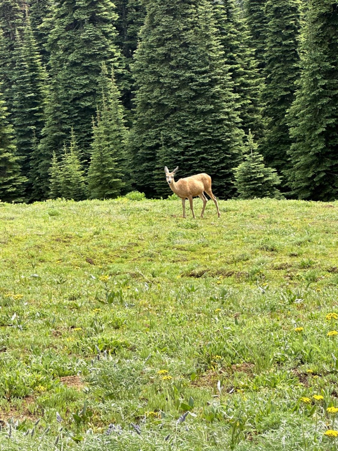
Photos of Sandy Saddle

Difficulty
The trail consists of deep sand that shifts as the winds wear away at the mixture of rock ledges and fractured basalt. Exciting the trail there is a steep hill climb made up of fractured basalt and dirt, with some drop-offs. The road is narrow, accommodating only one vehicle at a time, but there are areas where drivers can pull over to allow others to pass. Flat tires are a common hazard in this area.
Status Reports
Sandy Saddle can be accessed by the following ride types:
- SxS (60")
- ATV (50")
- Dirt Bike
Sandy Saddle Map
Popular Trails

Boulder Alley
Quartz Creek Road
South Tahuya Loop
The onX Offroad Difference
onX Offroad combines trail photos, descriptions, difficulty ratings, width restrictions, seasonality, and more in a user-friendly interface. Available on all devices, with offline access and full compatibility with CarPlay and Android Auto. Discover what you’re missing today!