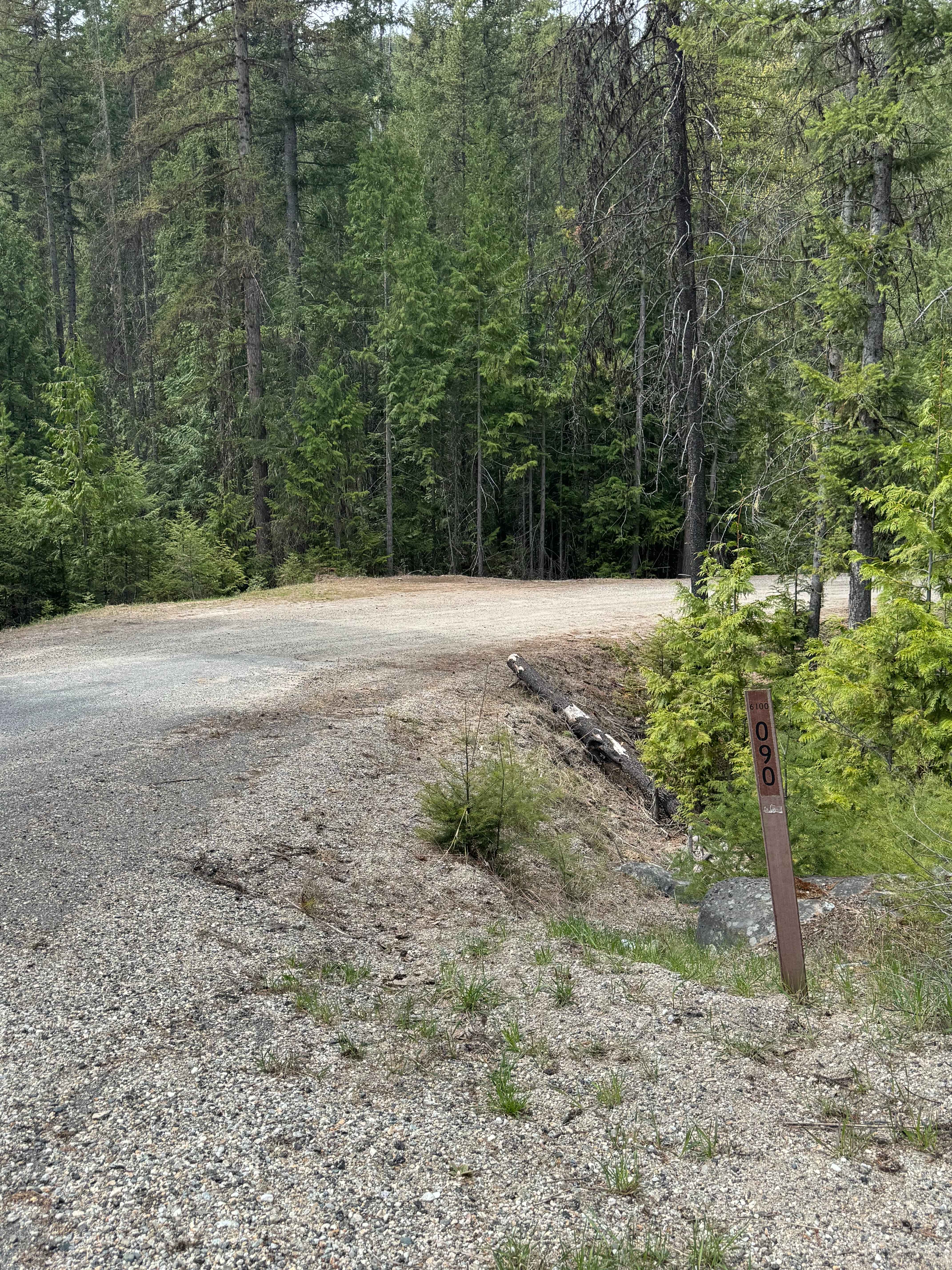
Lower Cabin - FS 6100-090
Total Miles
3.7
Technical Rating
Best Time
Spring, Summer, Fall
Trail Type
Full-Width Road
Accessible By
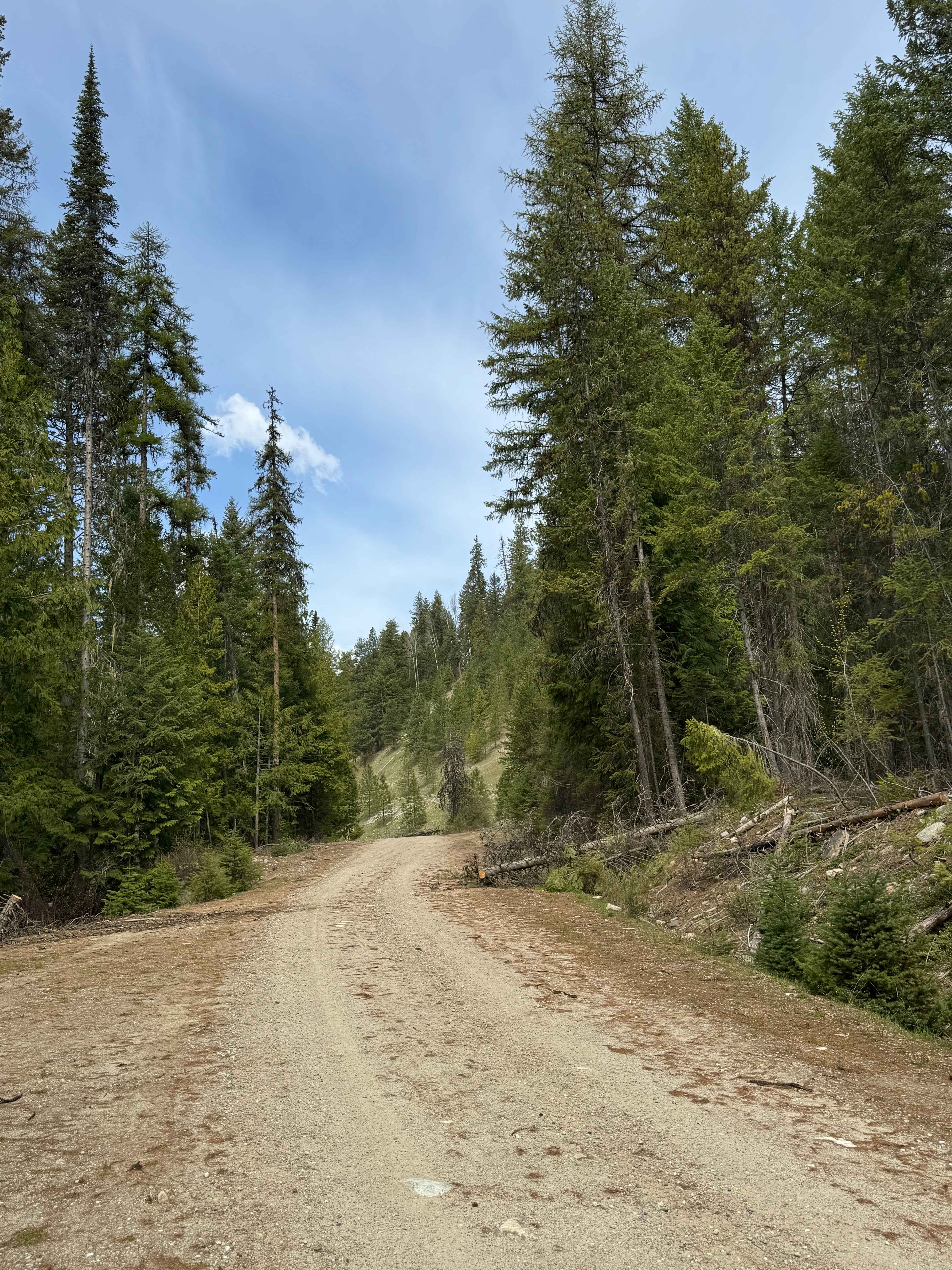
Trail Overview
This gravel-based forest road gradually climbs up along a ridge on Bulldog Mountain. There is a bridge over Lower Cabin Creek, and also cattle guards, so you will need to watch your speed. The trail has minor ruts and wash, and running spring water on a section of the trail. At the end, there is an open gate onto road 74, which leads you around Bulldog Mountain and meets the Taylor Ridge Hiking Trail. Road 74 has an open gate, but shows as a closed road on the map. At the end of this trail, close to the gate, there is a large, flat, round campsite with a large rock on one side that will provide shelter from the wind if camping. The area is large enough to be a pull-through turn-around if pulling a trailer, or a great spot to unload Powersport vehicles. Cell phone service was weak, and there were no amenities on the trail. Any vehicle type should be able to traverse this trail with no issues. The views are amazing, and stretch on into the distance for miles. From the start of this trail on the paved road of Highway 602, you are approximately 20 miles from the City of Kettle Falls, where you will find services and supplies.
Photos of Lower Cabin - FS 6100-090
Difficulty
Gravel-based forest road that travels through the forest to an old burn area. Any vehicle could travel this trail.
Status Reports
Lower Cabin - FS 6100-090 can be accessed by the following ride types:
- High-Clearance 4x4
- SUV
- SxS (60")
- ATV (50")
- Dirt Bike
Lower Cabin - FS 6100-090 Map
Popular Trails

Jefferson Creek Trail
Frisco Standard - Boundary

Porcupine Creek
The onX Offroad Difference
onX Offroad combines trail photos, descriptions, difficulty ratings, width restrictions, seasonality, and more in a user-friendly interface. Available on all devices, with offline access and full compatibility with CarPlay and Android Auto. Discover what you’re missing today!