Lower Buck Mountain
Total Miles
3.8
Technical Rating
Best Time
Fall, Summer
Trail Type
High-Clearance 4x4 Trail
Accessible By
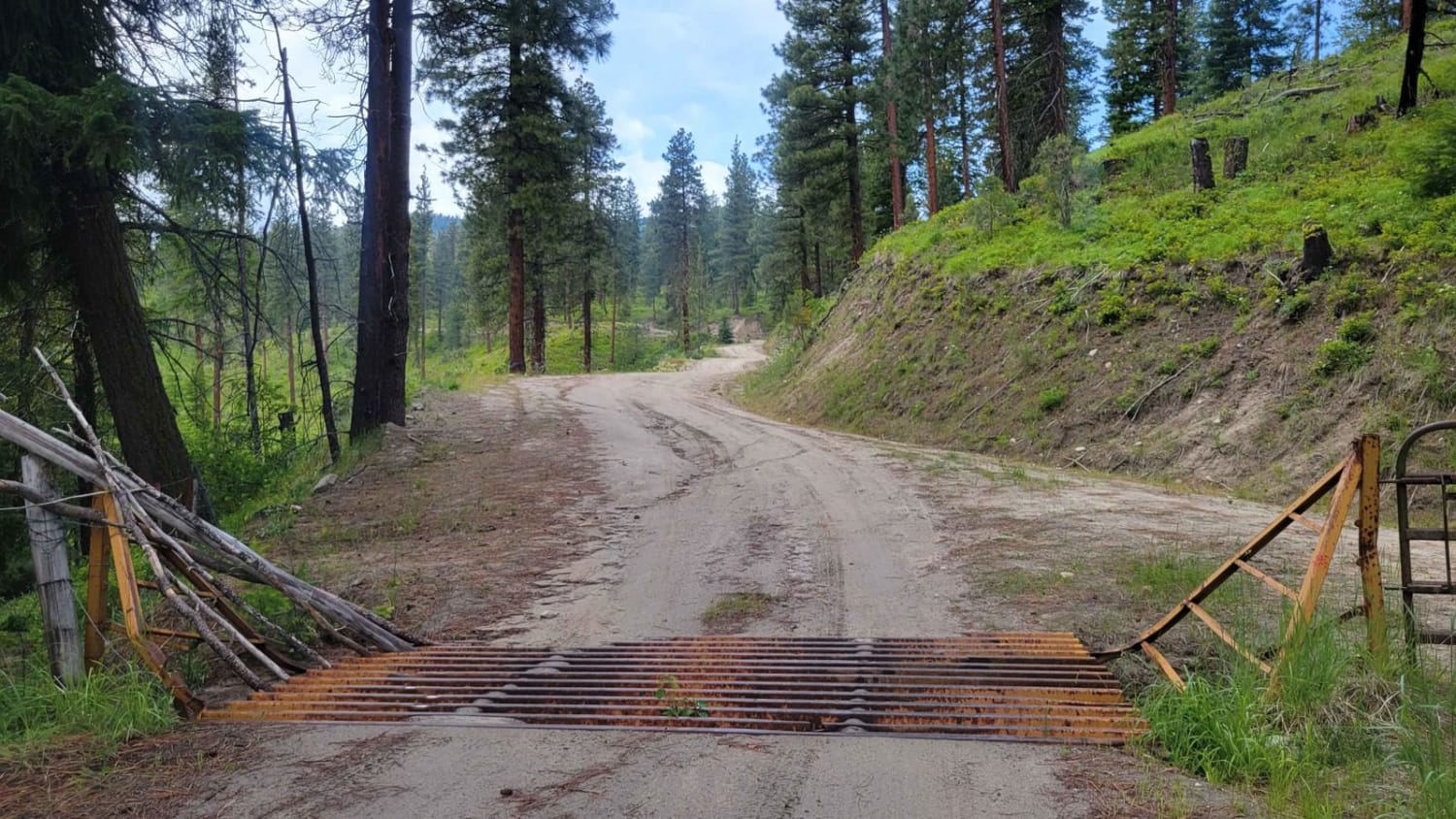
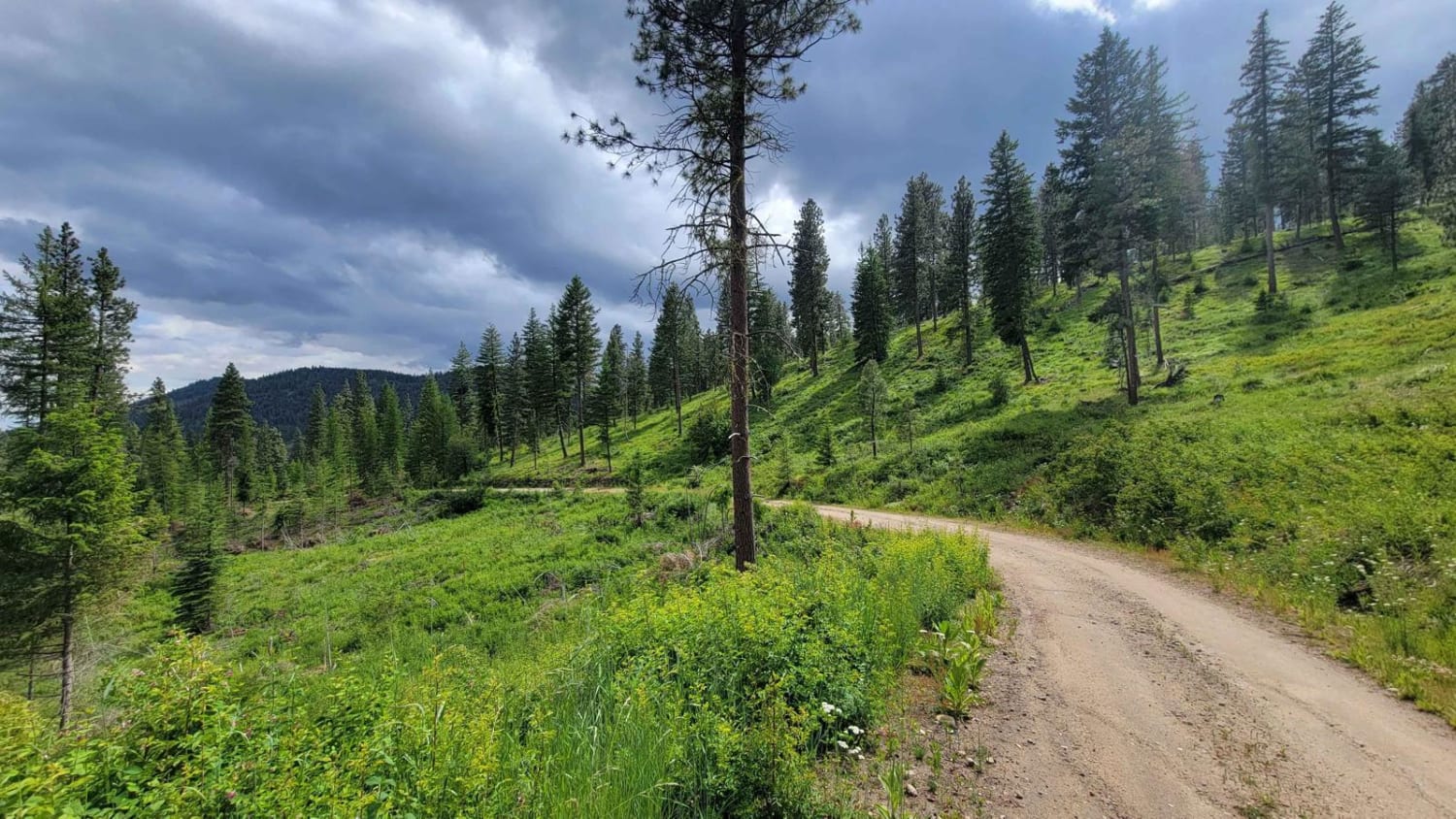
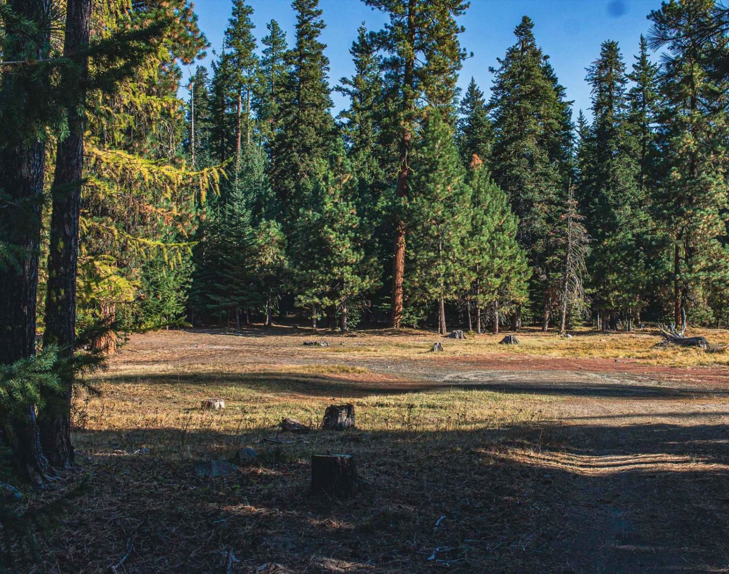
Trail Overview
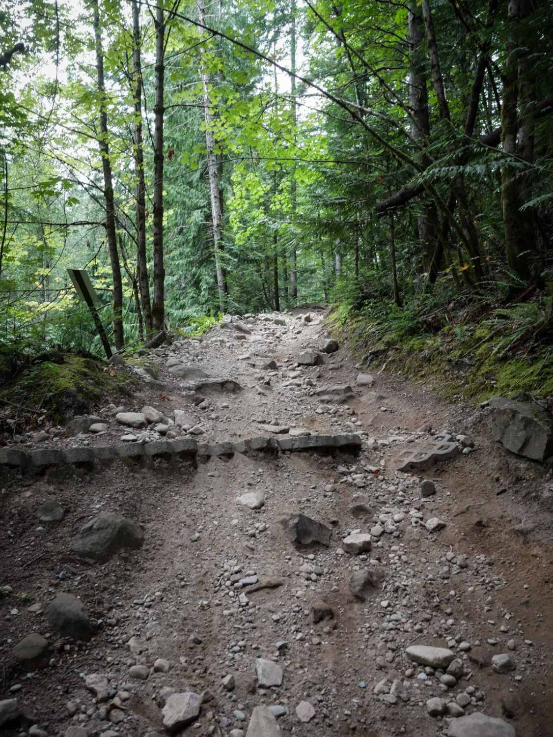
From Highway 20, this is the route to take to reach Buck Mountain/Fire lookout tower. The trail begins as a nice wide two-track that weaves and winds its way up through the Loup Loup National Forest. There is some erosion damage on the trail - ruts and ridges. The further up you travel, the more narrow and steep the trail becomes, prepping you for the Upper Buck Mountain. The views down the mountainside are beautiful and expansive. 2WD can make it, however, the Upper section may prove more challenging with only 2WD. Unmaintained (closed) in the winter and early spring months.
Photos of Lower Buck Mountain
Difficulty
This route begins as an easy and wide two-track but becomes more narrow the further up you travel. You'll encounter erosion ruts and ridges along the way.
Status Reports
Lower Buck Mountain can be accessed by the following ride types:
- High-Clearance 4x4
- SxS (60")
- ATV (50")
- Dirt Bike
Lower Buck Mountain Map
Popular Trails
FR 4435 - Reynolds Road

Curt's Conundrum
The onX Offroad Difference
onX Offroad combines trail photos, descriptions, difficulty ratings, width restrictions, seasonality, and more in a user-friendly interface. Available on all devices, with offline access and full compatibility with CarPlay and Android Auto. Discover what you’re missing today!