Layser Cave Sky Climb
Total Miles
2.9
Technical Rating
Best Time
Spring, Summer, Fall, Winter
Trail Type
Full-Width Road
Accessible By
Trail Overview
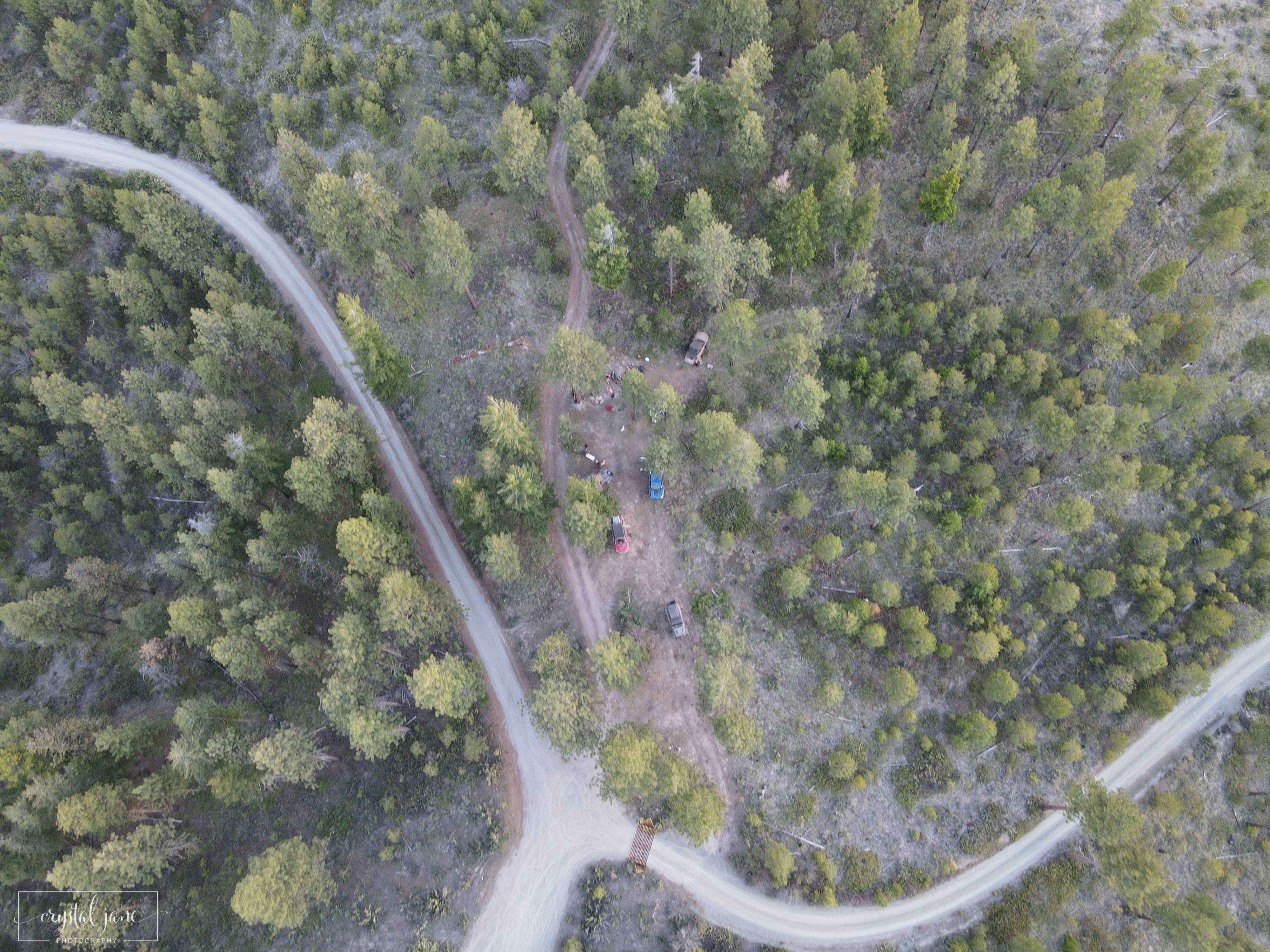
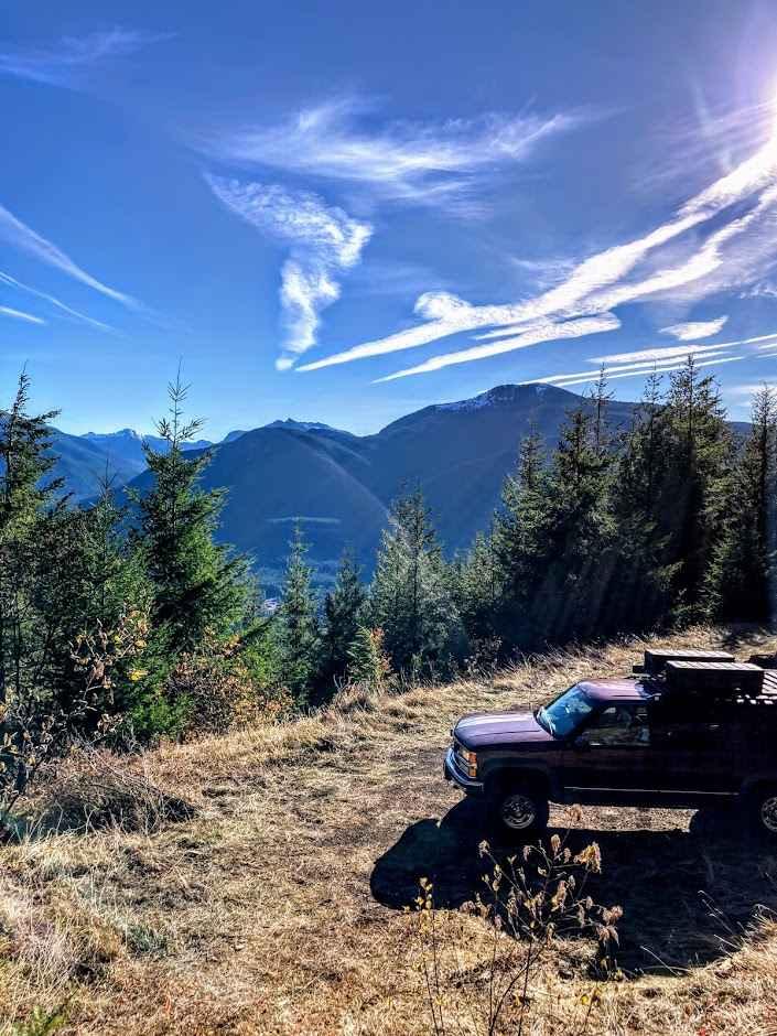
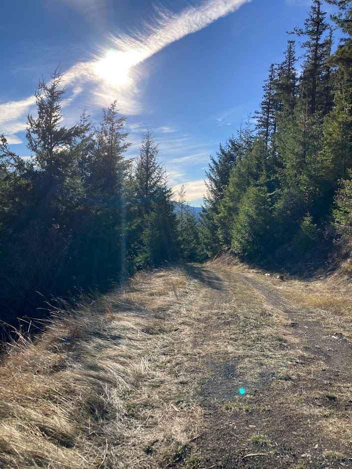
Within the Gifford Pinchot National Forest, this route begins at Forest Road 23, climbing 1500', where it dead ends at an amazing viewpoint. At the 1.5 mile mark, the route opens up to a parking area for Layser Cave. The Layser Cave Interpretive Site is worth the stop, where you can explore a cave once used by native Americans thousands of years ago. The hike is easy, roughly .5 miles in length. After visiting the cave, back on the route, you can continue to the summit. Beyond the cave, the route becomes quite narrow and overgrown, and poorly maintained, with ruts from rain runoff. There are views of Mt. Adams along the way, and the route ends at a narrow turn around, where you find an amazing view of the valley. There is no cell service in this area.
Photos of Layser Cave Sky Climb
Difficulty
Most of the route is a 1 rating, however towards the top the route becomes narrow, overgrown, and rutted, perhaps a 2 rating.
Status Reports
Layser Cave Sky Climb can be accessed by the following ride types:
- High-Clearance 4x4
- SUV
- SxS (60")
- ATV (50")
- Dirt Bike
Layser Cave Sky Climb Map
Popular Trails

Washington Backcountry Discovery Route - Section 4

Stahl Mountain Trail

Baker Creek - 4W327
The onX Offroad Difference
onX Offroad combines trail photos, descriptions, difficulty ratings, width restrictions, seasonality, and more in a user-friendly interface. Available on all devices, with offline access and full compatibility with CarPlay and Android Auto. Discover what you’re missing today!


