Goldfinger - FS 2410
Total Miles
0.9
Technical Rating
Best Time
Spring, Summer, Fall, Winter
Trail Type
Full-Width Road
Accessible By
Trail Overview
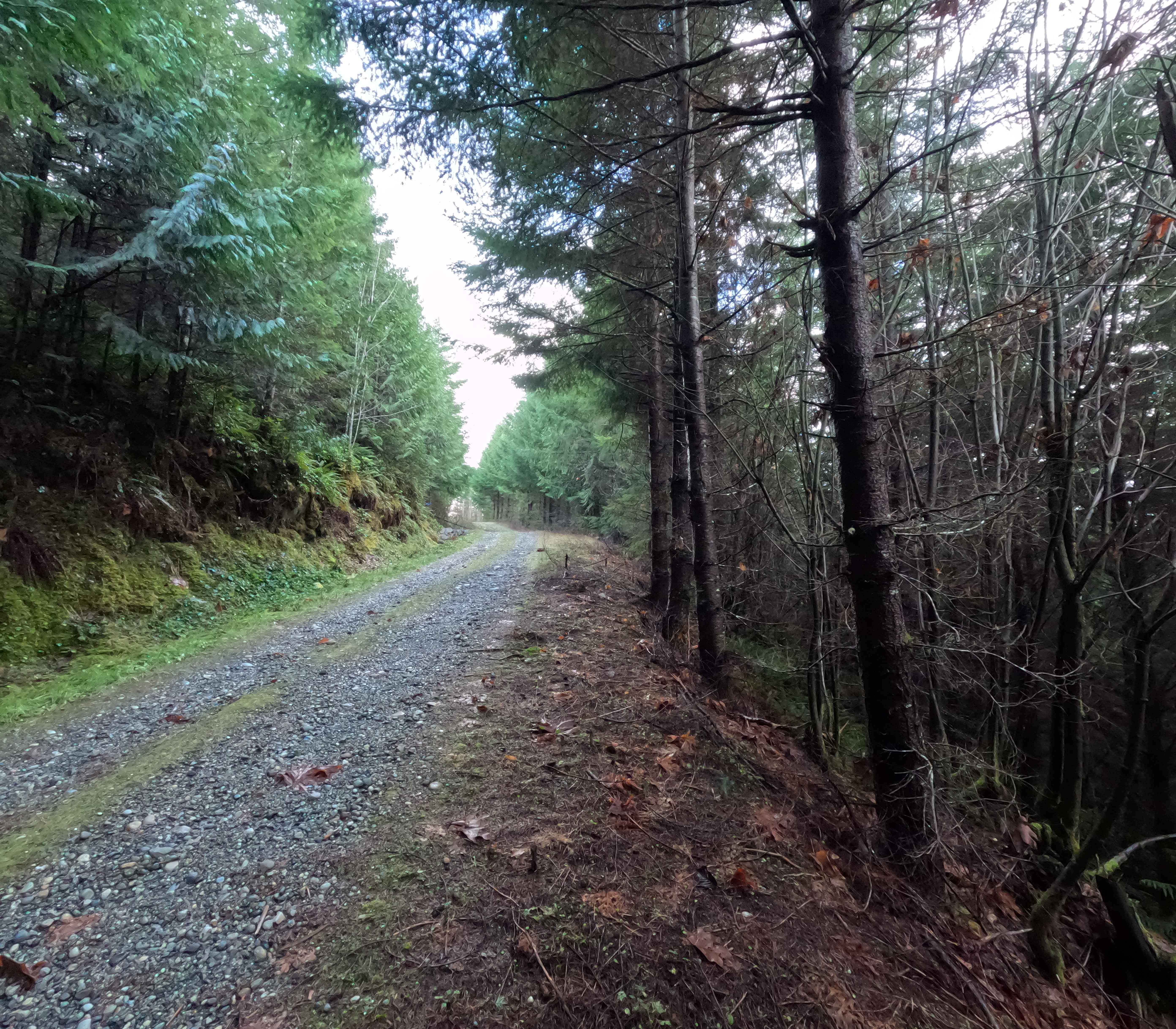
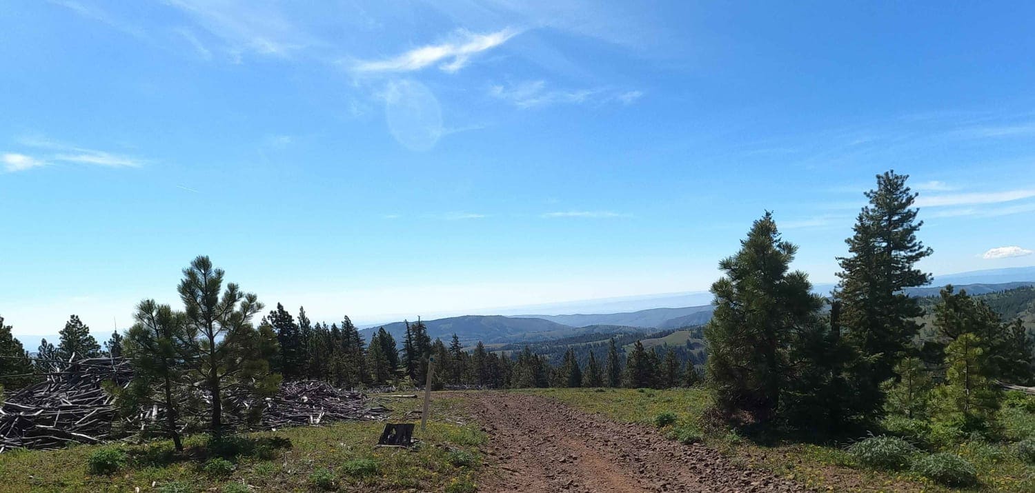
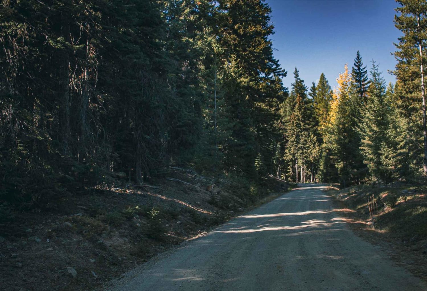
Goldfinger is a 1-mile out-and-back trail branching off from Dan's Creek (FS 24). The trail ascends the northeast face of Gold Mountain, ending at a small clearing a quarter-mile beyond the final fork (shown in photo 5). The route used to continue, but is now blocked by large rocks (Shown in the last photo). Taking a left at the fork takes visitors to another small clearing. Several vantage points along the trail offer north-facing views of the Sauk River valley. Goldfinger is accessible year-round.
Photos of Goldfinger - FS 2410

Difficulty
Goldfinger is a single-lane gravel road with minor water damage. The road is easily passable for 2WD vehicles, though some areas may become slick or soft depending on recent rainfall. Due to limited use, visitors should bring a chainsaw for clearing windfall. Snow conditions may increase difficulty during the winter months.
Status Reports
Goldfinger - FS 2410 can be accessed by the following ride types:
- High-Clearance 4x4
- SUV
- SxS (60")
- ATV (50")
- Dirt Bike
Goldfinger - FS 2410 Map
Popular Trails

Dan's Creek - FS 24
Reynolds Creek Tie - C1201
Radio Tower - FS 9500-585
Bear Creek Mountain
The onX Offroad Difference
onX Offroad combines trail photos, descriptions, difficulty ratings, width restrictions, seasonality, and more in a user-friendly interface. Available on all devices, with offline access and full compatibility with CarPlay and Android Auto. Discover what you’re missing today!