Carlton Road- FS 4400017
Total Miles
1.8
Technical Rating
Best Time
Spring, Summer, Fall
Trail Type
Full-Width Road
Accessible By
Trail Overview
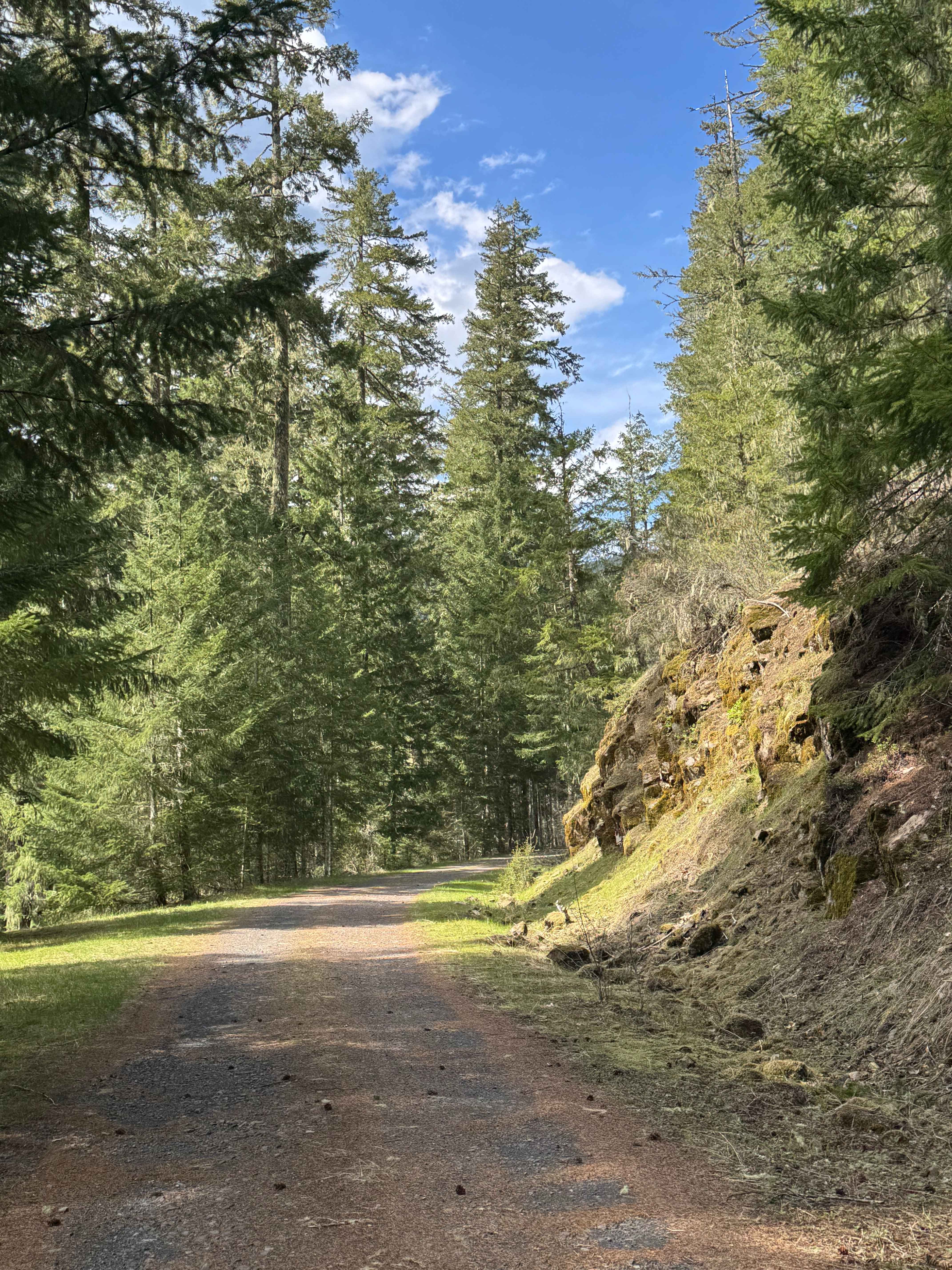
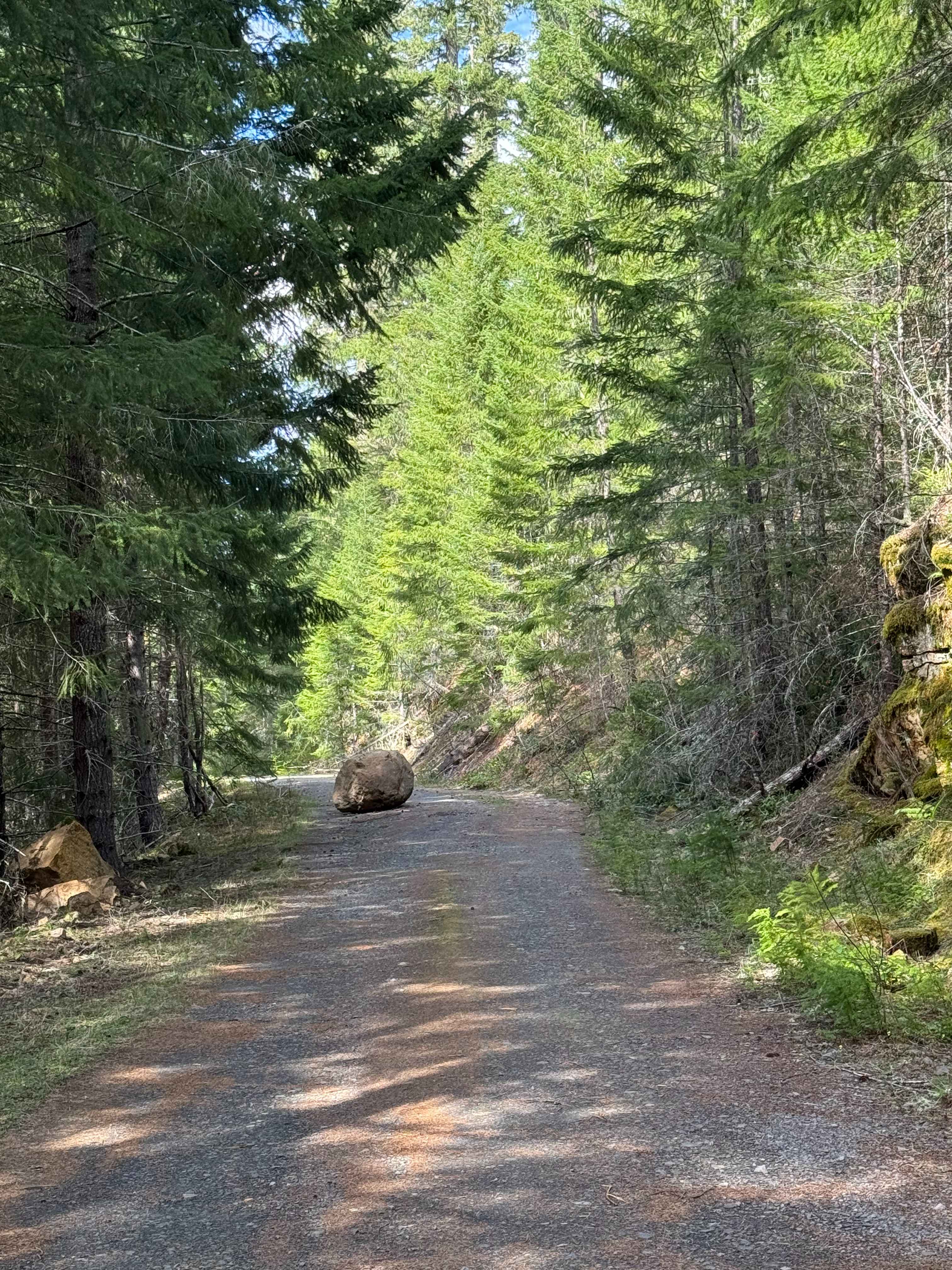
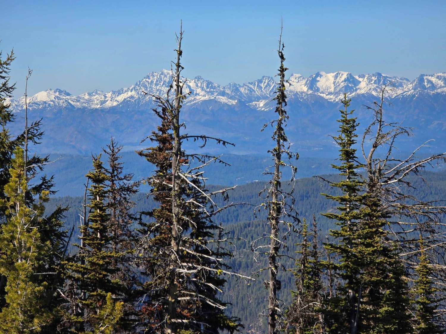
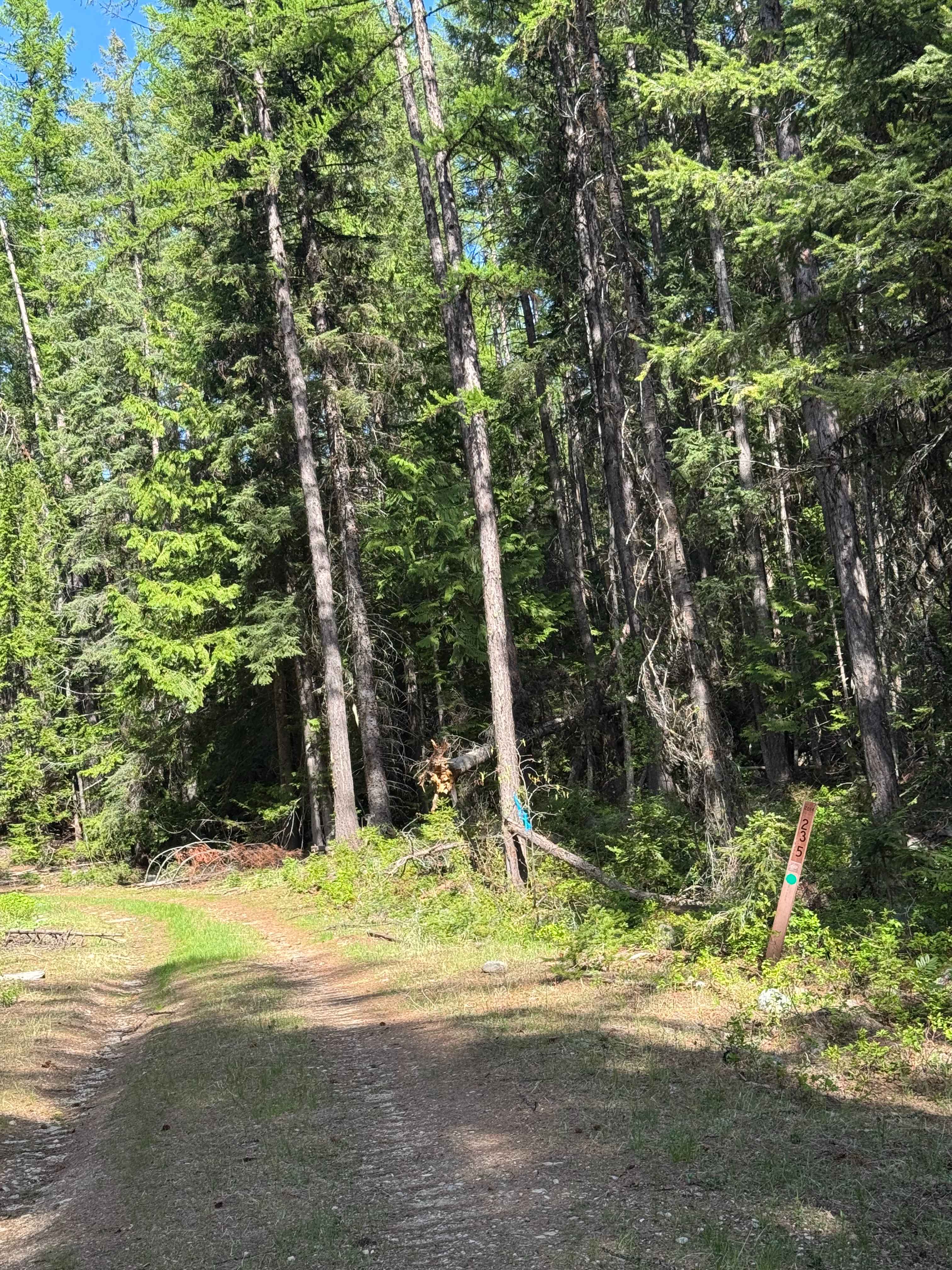
This trail starts mostly on gravel, then changes to a dirt trail about halfway. The trail has a minor wash in the gravel section, then the dirt sections wind through an old, burnt, and cut area. There is one muddy section, and the rest of the trail is relatively smooth. Any vehicle should be able to traverse this trail. The trail dead ends into a circular campsite with a pre-existing fire ring. From this site, you can hear Carlton Creek rushing through the forest, and you have sweeping views of the hill sides around you. There are no amenities on this trail, but it is a peaceful ride through the forest. This trail is closed December 1st through April 1st, and there is a gate at the beginning. Cell phone service was enough to send a message and not much more. The City of Packwood is close by, and you can find services and amenities there. You are about 5 miles from Mt Ranier National Park on this trail.
Photos of Carlton Road- FS 4400017
Difficulty
Gravel road that travels through the National Forest. Further on, the trail winds through an old burn and cut area, and it becomes narrower and rougher. The trail dead ends into a circular campsite where you hear Carlton Creek running through the forest.
Status Reports
Carlton Road- FS 4400017 can be accessed by the following ride types:
- High-Clearance 4x4
- SUV
- SxS (60")
- ATV (50")
- Dirt Bike
Carlton Road- FS 4400017 Map
Popular Trails
Davis Hollow Road
Kelley Hollow Road
4W310 Frost Mountain
Dollar Mountain Summit - FS 2014-235
The onX Offroad Difference
onX Offroad combines trail photos, descriptions, difficulty ratings, width restrictions, seasonality, and more in a user-friendly interface. Available on all devices, with offline access and full compatibility with CarPlay and Android Auto. Discover what you’re missing today!